Devpost
Participate in our public hackathons
Devpost for Teams
Access your company's private hackathons
Grow your developer ecosystem and promote your platform
Drive innovation, collaboration, and retention within your organization
By use case
Blog
Insights into hackathon planning and participation
Customer stories
Inspiration from peers and other industry leaders
Planning guides
Best practices for planning online and in-person hackathons
Webinars & events
Upcoming events and on-demand recordings
Help desk
Common questions and support documentation
Sort by:
Vitra connects patients with relevant clinical trials through explainable AI matching, helping researchers find potential participants and patients understand their options.
Discover the night sky with Umbra, a smart stargazing companion that helps you find the clearest skies, darkest locations, and best times to see the stars.
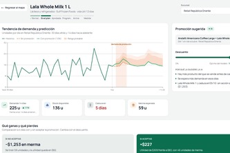
AI-driven demand forecasting and smart promotions that help retailers cut losses and grow sales.
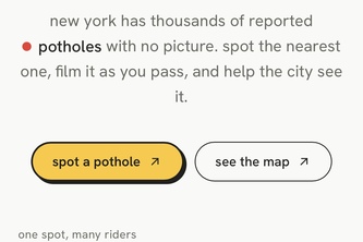
NYC has thousands of 311 pothole reports with no photo. spotholes sends you to the nearest one, turn by turn, and you say "take a picture here." AI keeps real road potholes and grades them A to E.
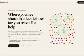
Introducing smarter placement of essential infrastructure in North Carolina’s most underserved communities.
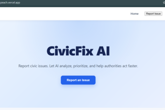
Report civic issues, let AI analyze and prioritize them, and help citizens connect with the right government department.
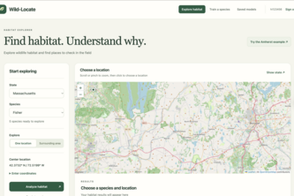
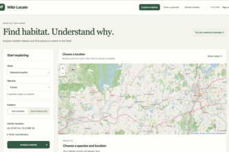
Wild-Locate: Predict wildlife habitats, uncover ecological threats, and guide smarter conservation efforts.
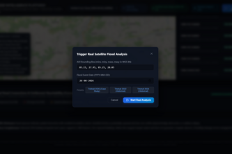
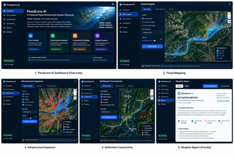
Turn satellite imagery into flood-impact maps, identify potentially exposed infrastructure, and reveal settlements at risk of losing road access.
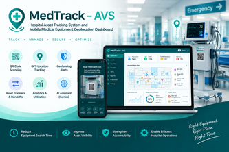
MedTrack–AVS uses QR scanning, GPS tracking, real-time dashboards, geofencing, analytics, and AI to improve hospital asset visibility, accountability, and equipment utilization.
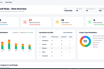
An AI-powered platform that detects, explains, and connects MPLADS project risk signals to help authorities prioritize evidence-based verification and proactive monitoring.
Wild-Locate uses machine learning and environmental data to predict where wildlife may thrive, explain habitat suitability, and explore how changes to the landscape could affect it.
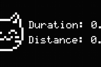
TrailBuddy is a Raspberry Pi hiking companion featuring a pixel-art animal companion, GPS tracking, and friend location sharing.
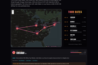
Taste-powered tour planner for indie musicians.
The Pursuit for a cleaner NYC
Before you send an offer, see whether your city loves this act more than the internet does.
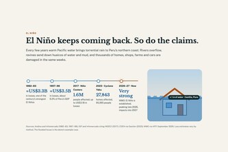
When El Niño strikes, claims start on WhatsApp: an AI agent takes floods and crashes from one person or two, compares both sides fairly and files the paperwork.
AI-powered flood damage mapping and infrastructure impact analysis using satellite imagery and geospatial data.
DengueRadar forecasts which Singapore neighbourhoods will see dengue clusters 2 to 4 weeks ahead, prioritising areas with the most seniors and children so inspectors and residents act early.
Ask your city anything — and see the receipts. CivicLens answers zoning, permit, flood, and 311 questions with verified open data and zero hallucinations.
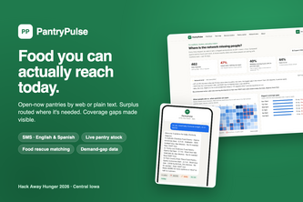
Food you can actually reach today. Real-time pantry access by web or text, and the demand data Iowa's food network has never had.
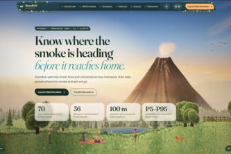
Know where the smoke is heading before it reaches home. AI forecasts wildfire smoke and volcanic ash dispersion across Indonesia, turning hazards into household action.
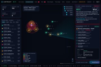
Verifiable air-quality intelligence: low-cost sensors + citizen reports, validated by explainable AI and sealed with blockchain proofs anyone can check.
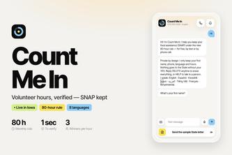
Volunteering → verified hours → SNAP kept. An SMS & voice assistant in 8 languages helps Iowans meet the new 80-hour rule, and gives pantries the regular volunteers they need.
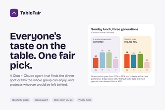
An AI agent on Qloo's taste graph that picks one restaurant or film a mixed group will all enjoy, protects whoever would be left behind, and shows its working.