Devpost
Participate in our public hackathons
Devpost for Teams
Access your company's private hackathons
Grow your developer ecosystem and promote your platform
Drive innovation, collaboration, and retention within your organization
By use case
Blog
Insights into hackathon planning and participation
Customer stories
Inspiration from peers and other industry leaders
Planning guides
Best practices for planning online and in-person hackathons
Webinars & events
Upcoming events and on-demand recordings
Help desk
Common questions and support documentation
Sort by:
A free, bilingual tool that checks one e-bike for one rider and route, explains the rules, and helps families choose bikes and plan rides.
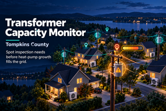
Know which transformers need an inspection before heat pumps burn them out.
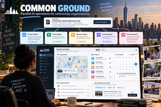
One brief launches five AI researchers in parallel — contacts, venues, sponsors, catering, proposals — each in an isolated Daytona sandbox. Nothing is booked or sent without human review.
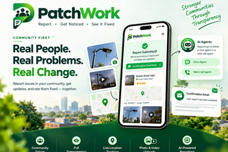
PatchWork --> Saw a problem in your community? Get it fixed! A transparent community-first platform with AI engagement for fast and quick problem reporting!
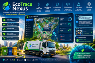
EcoTrace Nexus combines AI, real-time waste tracking, and tamper-evident records to optimize collection, improve recycling traceability, and strengthen accountability for a circular economy.
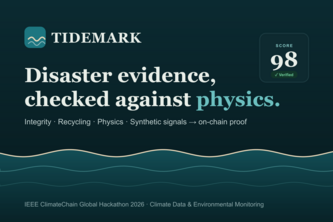
Fake and recycled photos flood every climate disaster. TIDEMARK checks each image against real weather data, past images and AI artefacts, then turns verified evidence into loss & damage dossiers.
Safe passage for women, charted like a Renaissance map. Specchio scores every street for safety and explains why, so you can choose the safest way home, not just the fastest.
AI market-entry analyst that tells foreign brands whether they'll land in Vietnam - 11 agents powered by Qloo Taste AI.
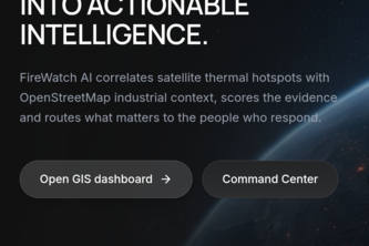
FireWatch AI uses satellite data and AI to detect thermal hotspots, assess fire risks, and predict future hotspot activity.
Snap a photo, drop a pin, report neighbourhood issues. The community upvotes; the city prioritises. 311, but crowd-powered for Brampton
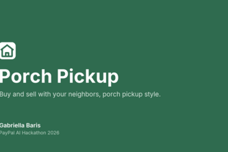
Local marketplace pickup without the trust problem: your address stays private until a buyer pays, their PayPal or Venmo payment is held until pickup, and AI writes your listing
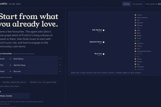
An agent that starts from what you already love and uses Qloo's taste graph to build bridges to 22 living cultures: music, food, where the taste lives in your city, and how to show up respectfully.
Explore how road failures reshape a city. Students and educators can compare modeled traffic impacts, essential-service access, and recovery choices on real or synthetic networks.
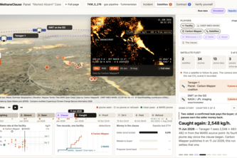
Only 13% of UN satellite methane alerts get a response. MethaneClause makes them pay: independent witnesses confirm the leak, the seller's bond pays the gas buyer on chain; clean passes earn it back.
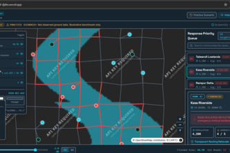
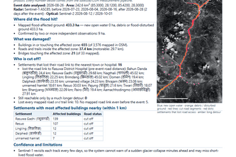
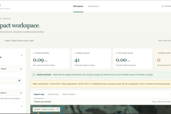
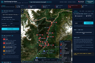
Transforms Sentinel-1 satellite imagery into flood maps, flags potentially damaged roads, and analyzes settlement connectivity to support faster, data-driven disaster response.
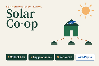
Collect energy bills, pay solar producers, and reconcile payments with PayPal—AI prepares, people approve.
An autonomous AI system that keeps critical operations running when internet connectivity fails—using local AI, edge devices, and resilient offline workflows.
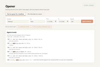
Who should open for your headliner in this city, and which local bars and brands share that crowd. An agent on Qloo's taste graph, with the evidence behind every pick.
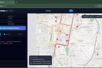
When a flood hits, satellites see everything — even through clouds. this system answers the two questions rescuers actually have: "Where is the damage?" and "Who is cut off?"
Stay Safe, Stay Aware — an intelligent safety platform that visualizes crime patterns, maps community reports, and helps people make more informed travel decisions.
ASTRA is an autonomous multimodal AI research agent that searches the web, analyzes evidence, verifies claims, detects contradictions, and generates source-backed research reports
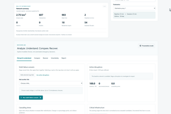
Mapping Flood Damage from SpaceTurning satellite imagery into actionable flood-damage maps and AI-powered English/Nepali emergency situation reports.
Where did the flood hit, what was damaged, and who is cut off: answered from free satellite data for any valley and date, with reports in English and Nepali.
Turning Satellite Imagery into Life-Saving Flood Intelligence.