Devpost
Participate in our public hackathons
Devpost for Teams
Access your company's private hackathons
Grow your developer ecosystem and promote your platform
Drive innovation, collaboration, and retention within your organization
By use case
Blog
Insights into hackathon planning and participation
Customer stories
Inspiration from peers and other industry leaders
Planning guides
Best practices for planning online and in-person hackathons
Webinars & events
Upcoming events and on-demand recordings
Help desk
Common questions and support documentation
Sort by:
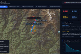
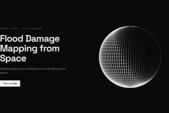
Satellite flood-damage mapping for rescue teams: where the flood hit, what was damaged, and who is cut off.
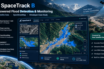
Autonomous satellite AI combining Sentinel-1 SAR, DEM slope physics & OSM topology to detect flash floods, severed roads, destroyed bridges & isolated Himalayan villages.
From satellite imagery to disaster insights: detecting flood impacts, mapping damaged infrastructure, and identifying isolated communities through geospatial AI.
Flood Intelligenece
Eyes from space when the ground goes silent."
All-weather satellite radar (Sentinel-1 SAR) & AI copilot to map flood extents, detect severed bridges, and identify cut-off villages from space.
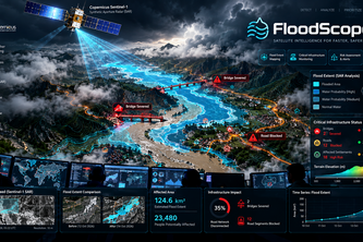
FloodSight uses satellite imagery, AI-assisted flood mapping, and geographic data to identify flooded areas and affected roads, helping disaster-response teams make faster, better decisions.
Stop letting group chats die over dinner debates. We match friends' cross-media tastes to real third places using Qloo, with zero awkward budget talk
From physical climate signal to automated municipal relief liquidity in sub-3s via AI & EVM.
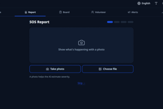
When disaster strikes, help finds you. A first disaster-response coordination platform for India.
Citizens report potholes, flooding and waste with a photo. AI classifies reports, merges duplicates and scores real-world impact, giving Lahore's city staff a live command center to act on first.
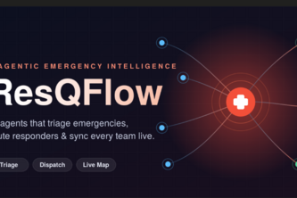
AI agents that triage emergencies, route the nearest responders, and sync every team on one live dashboard
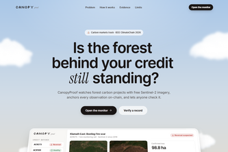
Is the forest behind your credit still standing? Open Sentinel-2 evidence, anchored on-chain, with a smart contract that flags reversals before credits are traded or retired.
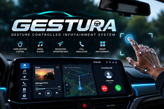
GESTURA transforms car infotainment with intuitive hand gestures and voice control for seamless music, navigation, and call interactions.
Both pick Tokyo. Qloo knows where: a Japan launch advisor for Taiwanese brands.
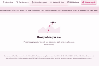
Autonomous satellite SAR and road graph engine mapping flood extent, severed infrastructure, and cut-off Himalayan communities with grounded bilingual situation reports.
Multimodal satellite AI for flood mapping, infrastructure assessment, and identifying isolated communities.
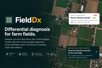
FieldDx identifies crop health changes, evaluates likely causes, rules out alternatives, and recommends the most cost-effective field check to verify the diagnosis.
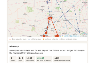
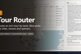
Tour routing for indie musicians, grounded in where your fans actually are.
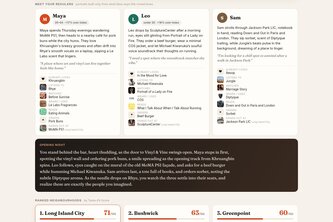
Before you bet your savings, find your people. An AI agent that uses Qloo taste data to find the neighbourhood that already loves your idea and introduces you to your future regulars.
Routes a tour inside your rules, shows what taste data changed
When flood becomes a hazard our system makes rescue easily bizzare
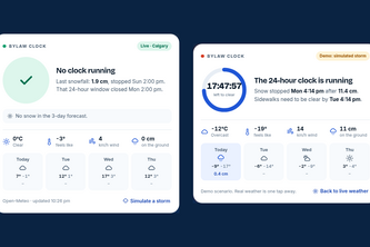
Connecting Calgary neighbours who can't shovel with volunteers who can.
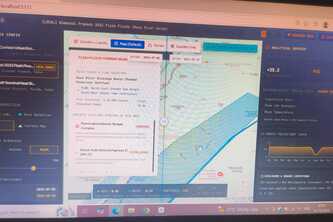
Sahayak uses Sentinel-1 SAR satellite imagery and graph topology analysis to identify flood-cut-off settlements and generate prioritized rescue dispatch lists for disaster response teams.