
Inspiration
Personal safety is an important concern for people travelling through unfamiliar areas, especially students, women, and late-night commuters. However, information about local crime patterns and safety conditions is often scattered across different sources, making it difficult to make informed decisions.
We created Safora — Stay Safe, Stay Aware to bring safety-related information into one accessible platform and help people become more aware of their surroundings before travelling.
What It Does
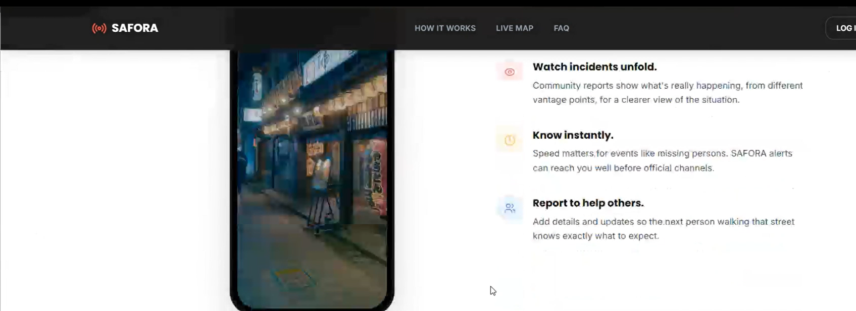
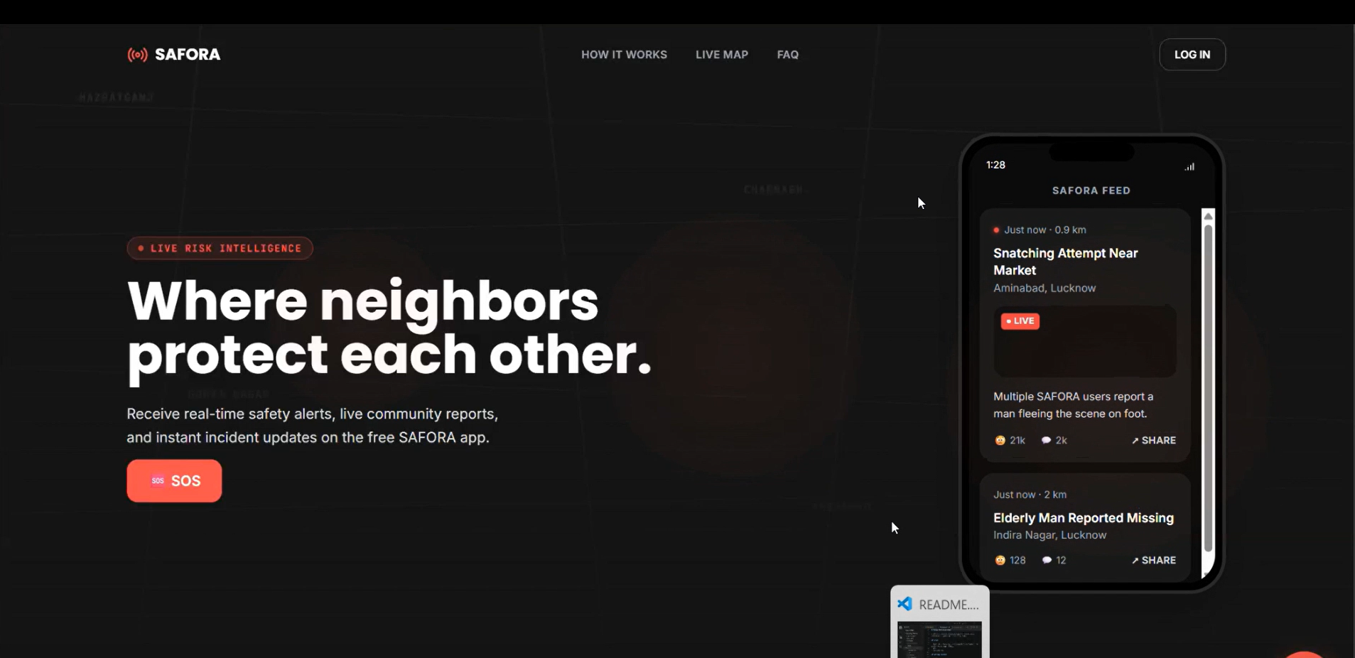
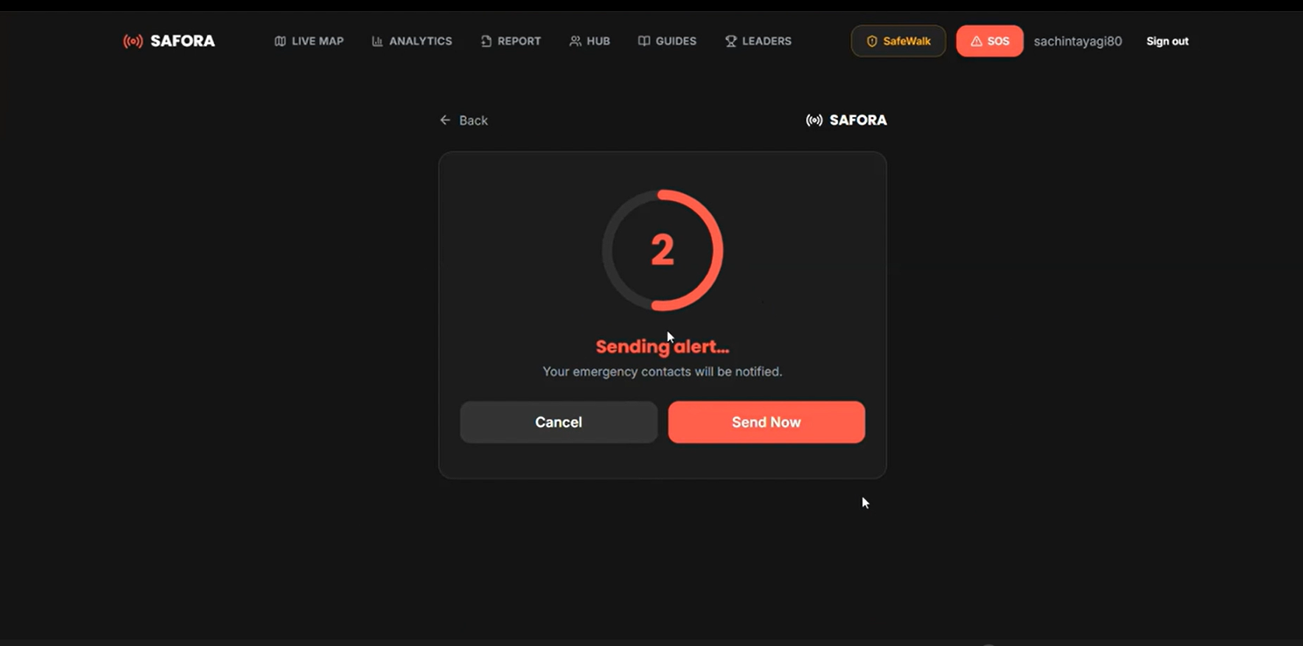
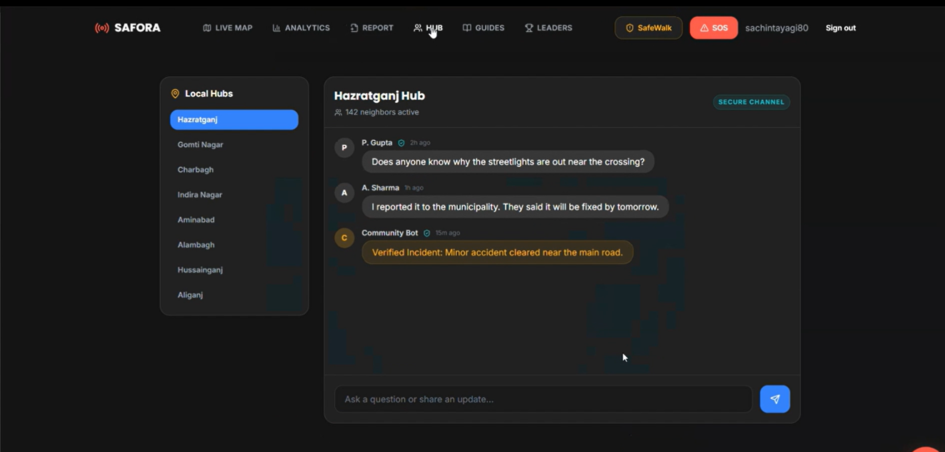
Safora is a location-based community safety platform that combines interactive maps, crime awareness, and location-based insights to support safer decision-making.
Key features include:
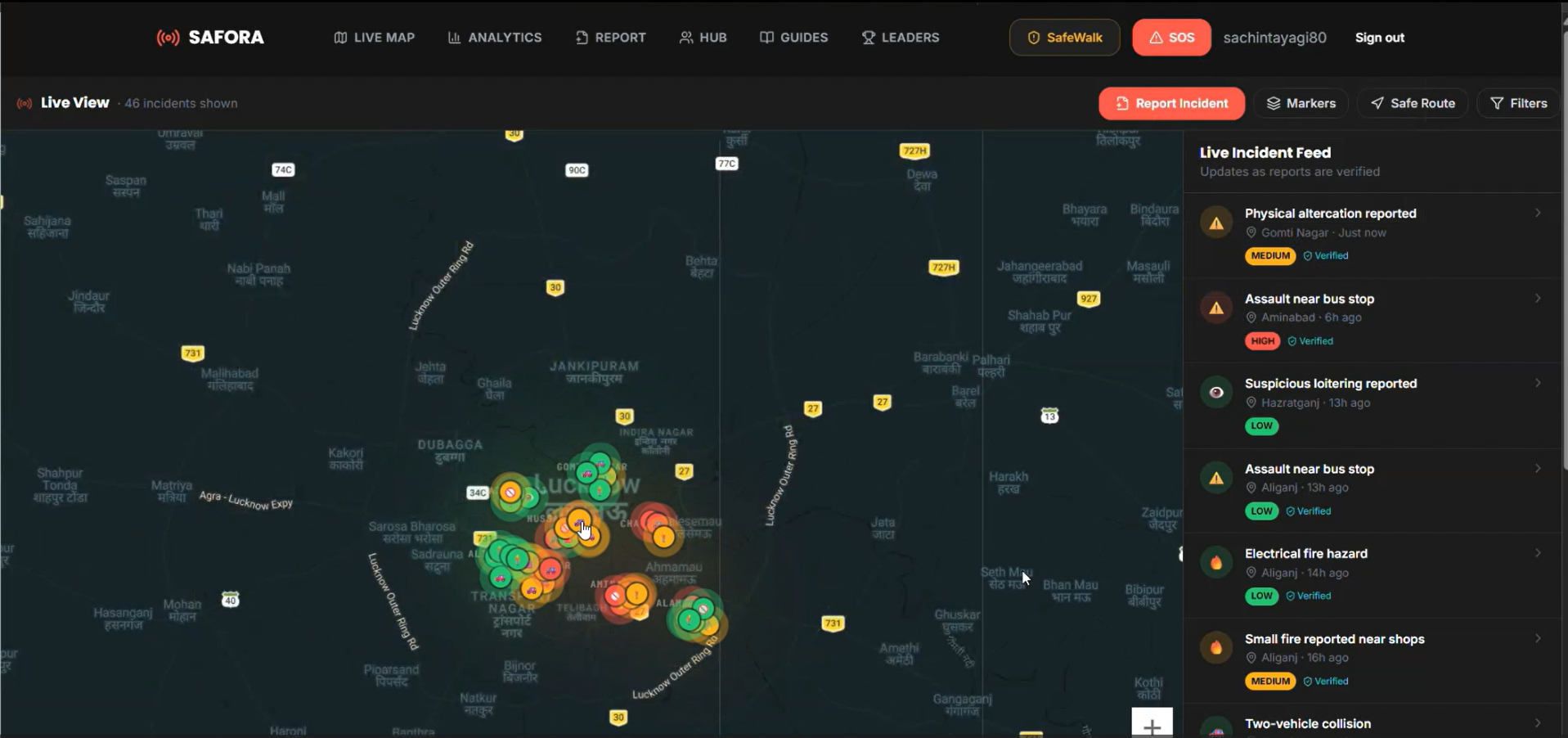
- Interactive Crime Heatmap: Visualizes available crime-related information geographically to help users identify areas that may require additional caution.
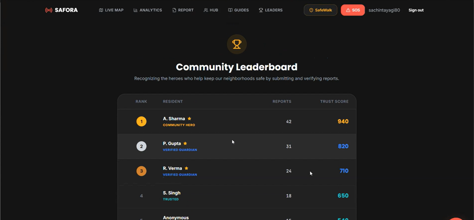
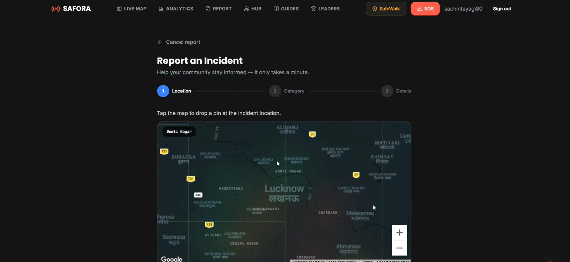
- Community Incident Reporting: Enables users to submit reports about incidents in their surroundings.
- Area Safety Indicators: Presents comparative safety information based on available data.
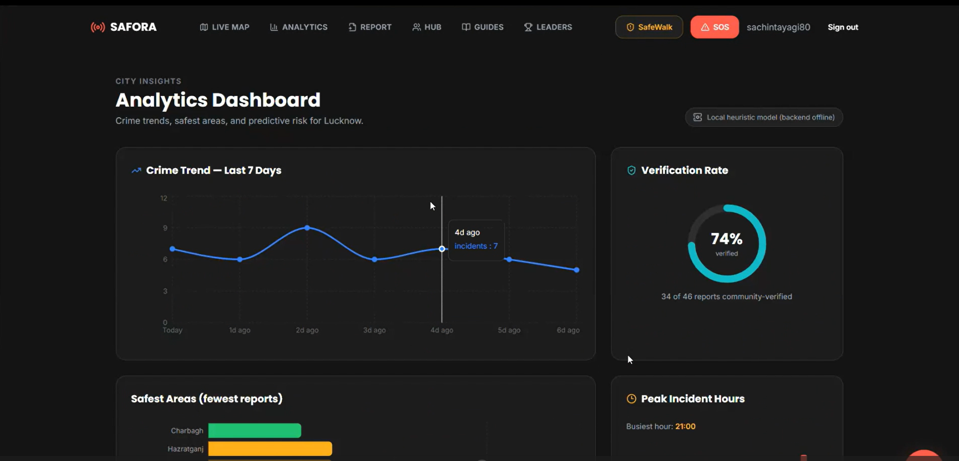
- Crime Trend Visualization: Helps users understand patterns in historical crime statistics.
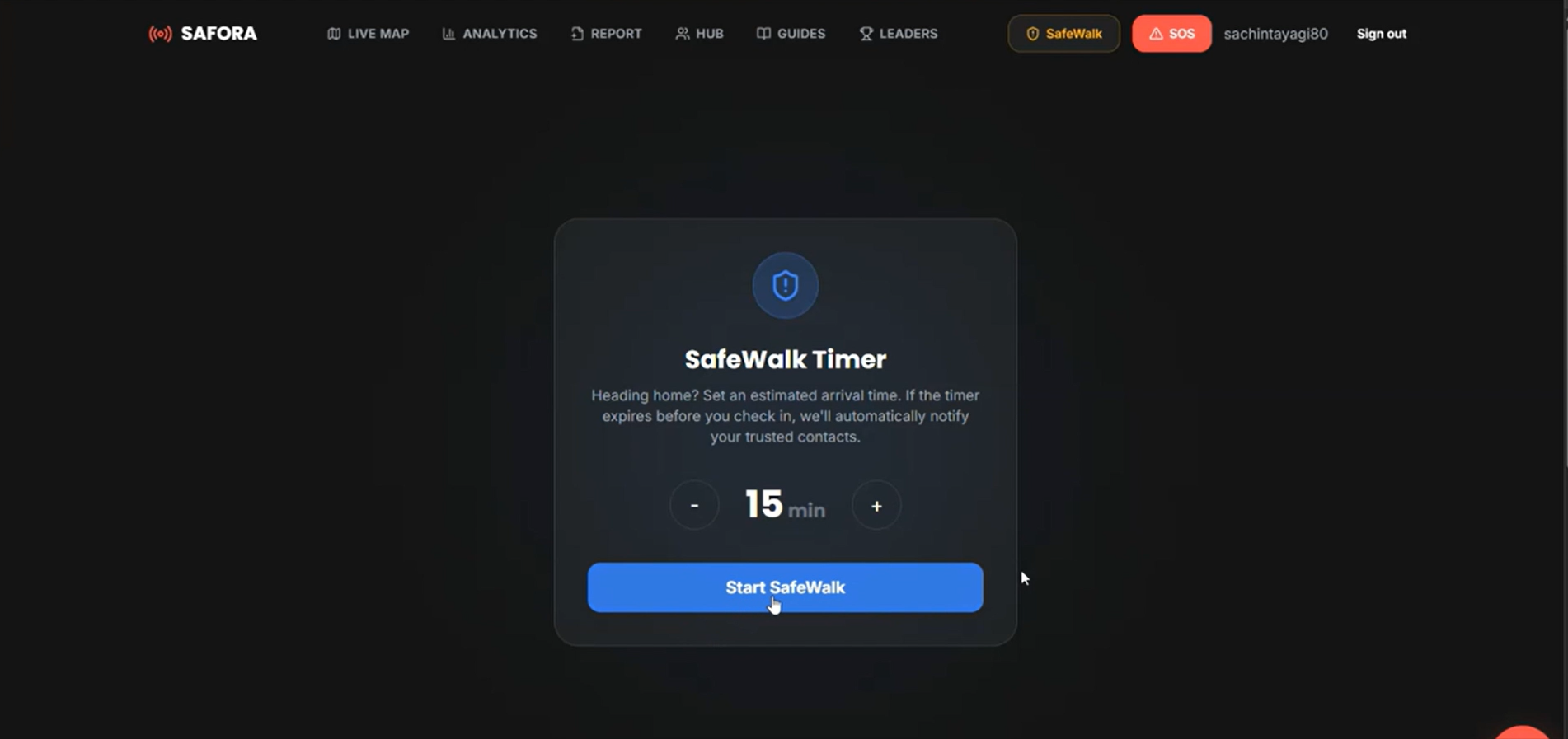
- Safer Route Guidance: Aims to help users compare routes using available location and safety information.
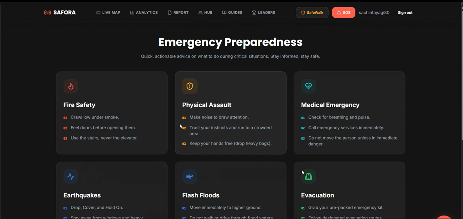
- Women’s Safety Awareness: Provides additional safety-focused information to support informed travel decisions.
Safora is designed to complement personal judgment and official safety resources, not replace them.
How We Built It
We designed Safora as a full-stack web application using modern web technologies.
- Frontend: React.js, Tailwind CSS, and Framer Motion for an interactive and responsive user interface.
- Maps and Geospatial Visualization: Leaflet and OpenStreetMap for displaying locations and map-based information.
- Backend: FastAPI for handling application logic and API requests.
- Database: MongoDB for storing application data and community-submitted reports.
The platform is designed to bring together historical crime statistics and community reports while keeping these sources distinguishable. The reliability of safety indicators depends on the availability, accuracy, and coverage of the underlying data.
Challenges We Faced
One of our main challenges was determining how to represent safety information geographically when publicly available crime statistics may not contain precise incident coordinates. Another challenge was designing a clear interface that communicates risk without creating unnecessary fear or presenting estimates as guaranteed facts.
We also considered how to structure community reports, protect users’ privacy, and make location-based information understandable to people without technical knowledge.
These challenges helped us recognize that a useful safety platform requires more than an attractive map: it also needs transparent data sources, responsible interpretation, and a user-friendly experience.
What We Learned
Building Safora strengthened our understanding of full-stack development, API integration, geospatial visualization, database design, and the challenges of working with real-world data.
We also learned the importance of distinguishing verified information from user-generated reports and communicating the limitations of data-driven safety indicators.
What's Next
Our future plans include integrating more reliable and detailed public crime datasets, improving incident verification, refining area-level safety indicators, and developing better route-comparison features. We also aim to expand geographic coverage and strengthen privacy and security safeguards.
Safora's mission is simple: make safety information more accessible so people can make more informed decisions about where they go and how they travel.
Built With
- community
- fastapi
- framer-motion
- geospatial-visualization
- javascript
- leaflet.js
- mongodb
- openstreetmap
- python
- react
- rest-api
- tailwind-css
- web-development

Log in or sign up for Devpost to join the conversation.