Inspiration
In recent years, wildfires have increasingly devastated communities across the United States, most notably in California, where entire neighborhoods have been destroyed, homes reduced to ashes, and lives disrupted in minutes. While property loss is evident, the real tragedy lies in the lack of accessible tools that help everyday people assess danger and act quickly.
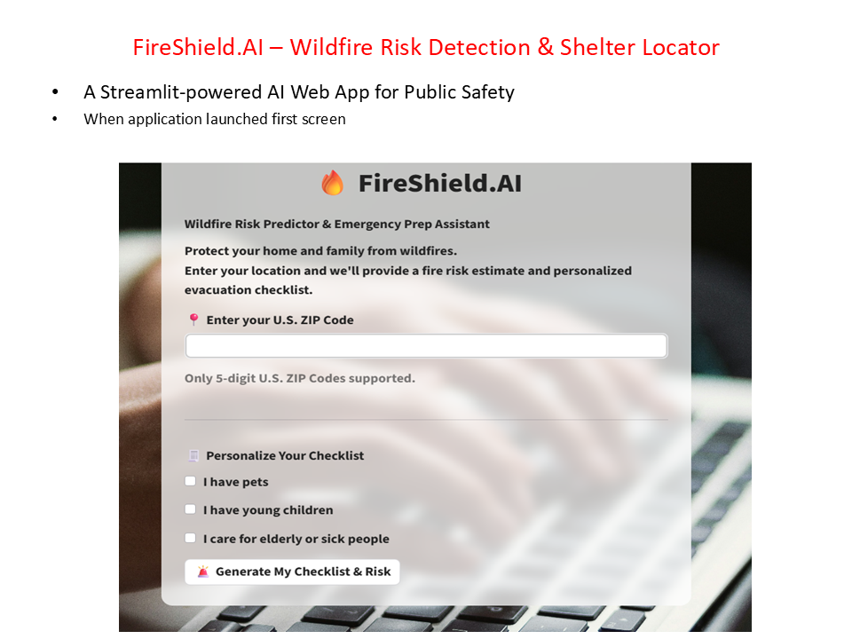
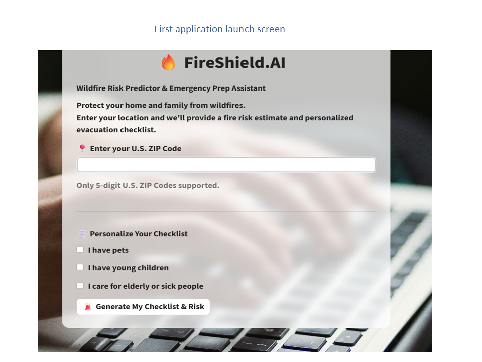
Motivated by these events, I created FireShield.AI — a Streamlit-powered AI web
app designed to protect public safety by predicting wildfire risk by ZIP code and
locating nearby emergency shelters.
This project is not just about code — it’s about building something that can save
lives, increase preparedness, and bring technology to the front lines of disaster
response.
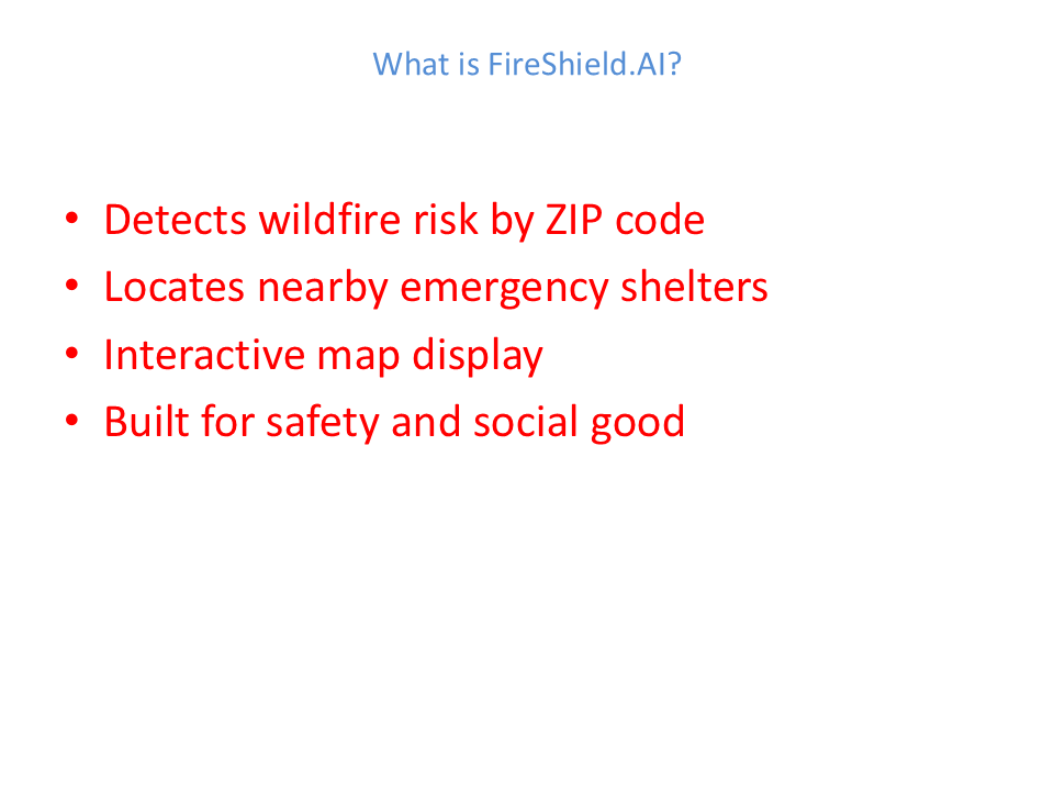
What it does
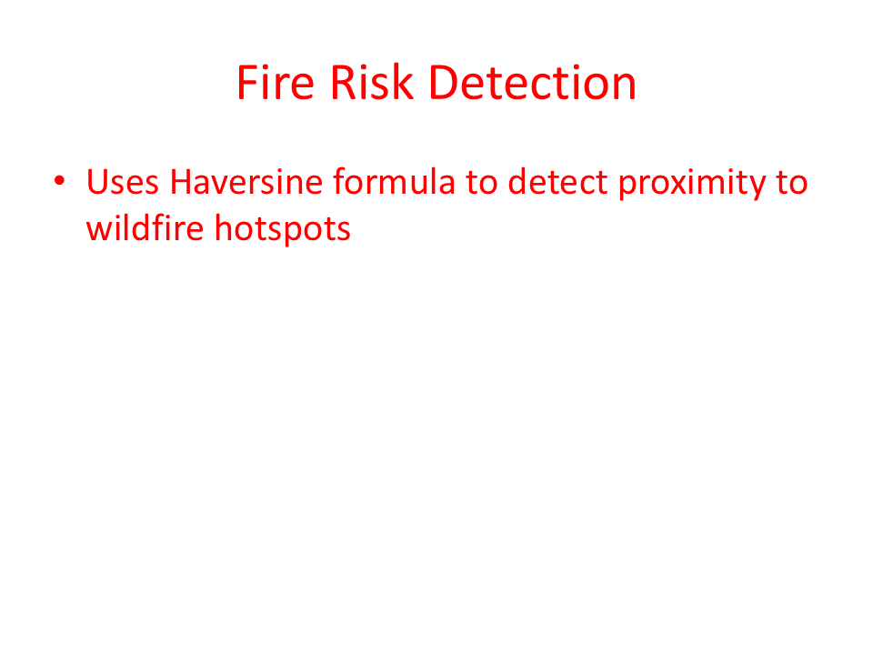
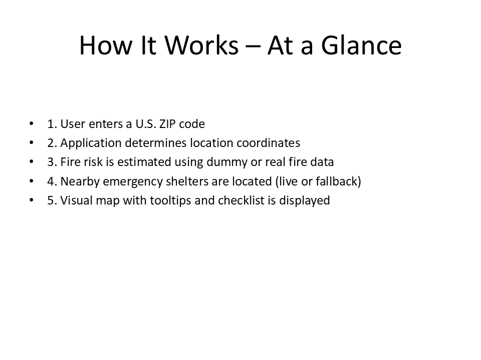
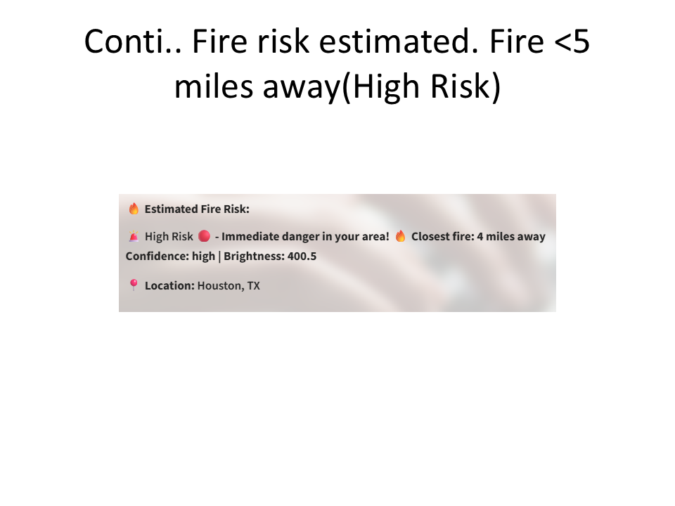
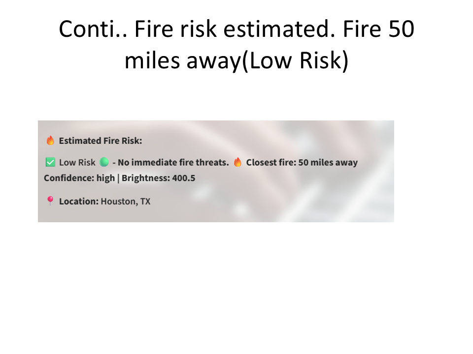
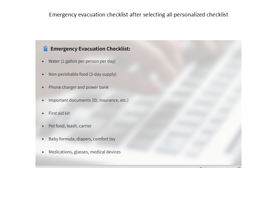
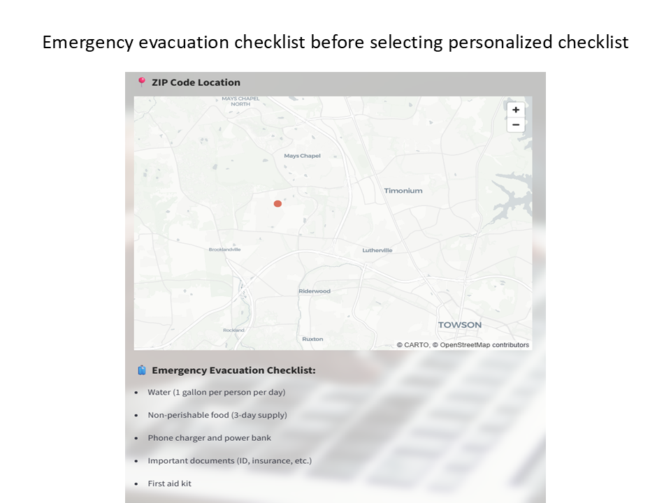
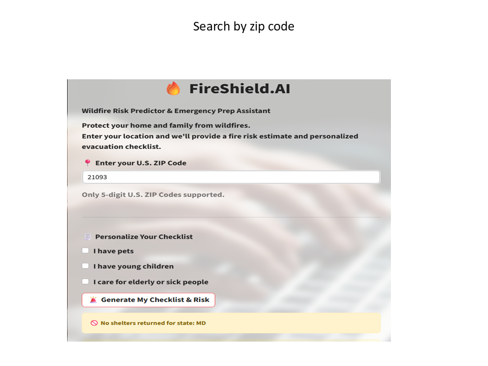
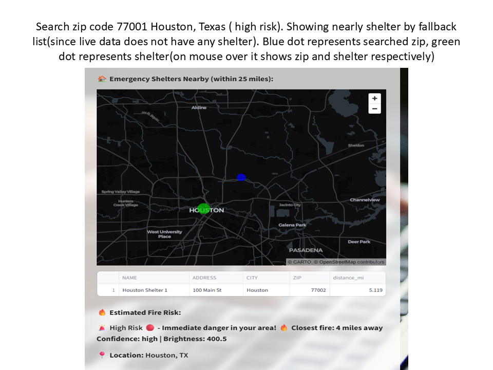
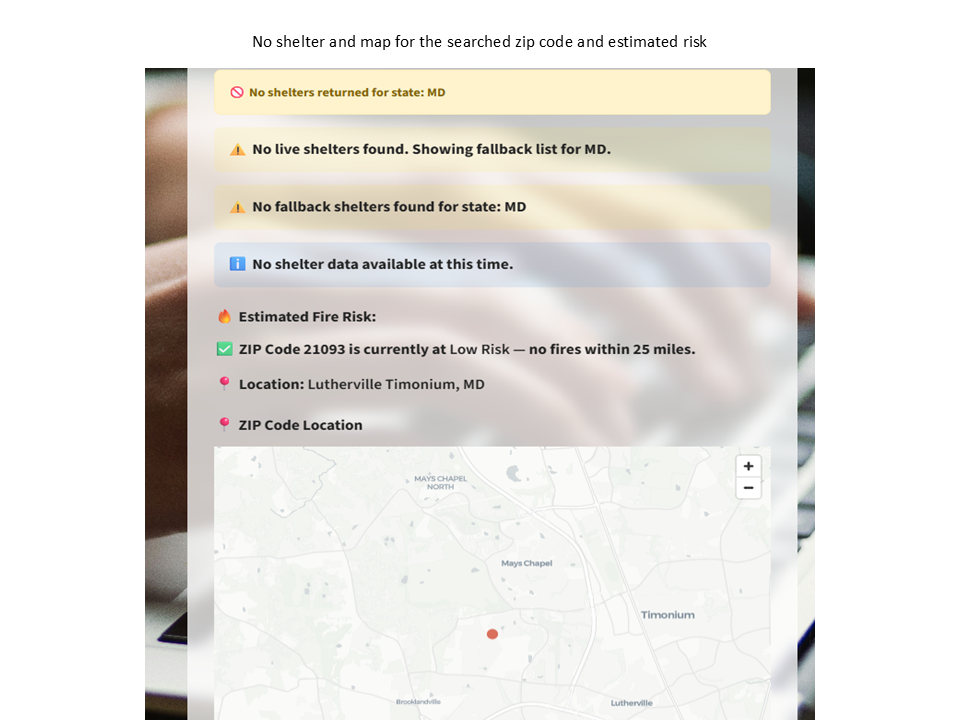
FireShield.AI lets users enter their ZIP code to instantly check wildfire risk, see the proximity of active fires, and locate nearby emergency shelters. It uses real-time API data but has a fallback shelter system , a preloaded dataset from official sources — to ensure information is always available. The app also provides an interactive map and personalized evacuation checklist.
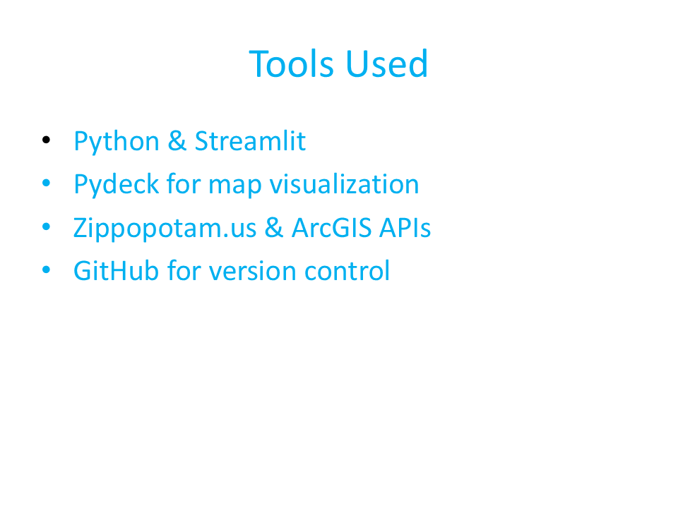
How we built it
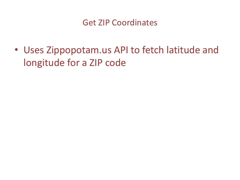
We used Python and Streamlit for the frontend, Pydeck for interactive maps, and APIs such as Zippopotam.us and ArcGIS for geospatial data. A fallback CSV file of verified shelter locations ensures resilience when live data is unavailable.
Challenges we ran into
The main challenge was ensuring reliability during data outages. Integrating a seamless fallback mechanism without breaking the user experience took careful design and testing.
Accomplishments that we're proud of
We built a fully functional wildfire risk and shelter locator app with offline resilience in just one hackathon cycle. The fallback shelter feature ensures the app is useful even in worst-case scenarios.
What we learned
We learned how to combine real-time APIs with offline datasets, handle data inconsistencies, and design an intuitive interface that prioritizes user safety.
What's next for FireShield.AI
Add SMS and email alerts so users get instant notifications when wildfire risk is high in their area Integrate NASA MODIS/VIIRS satellite fire data for enhanced real-time fire detection and accuracy Introduce multilingual support to make the app accessible to non-English-speaking communities Partner with local governments and emergency agencies to keep shelter data accurate and up to date Optimize the app for mobile devices to work seamlessly in low-connectivity or rural areas Expand coverage to include other natural disasters such as floods, hurricanes, and severe storms Launch a public awareness campaign to encourage residents in high-risk areas to include FireShield.AI in their preparedness plans


Log in or sign up for Devpost to join the conversation.