-

Analxact brand logo design
-

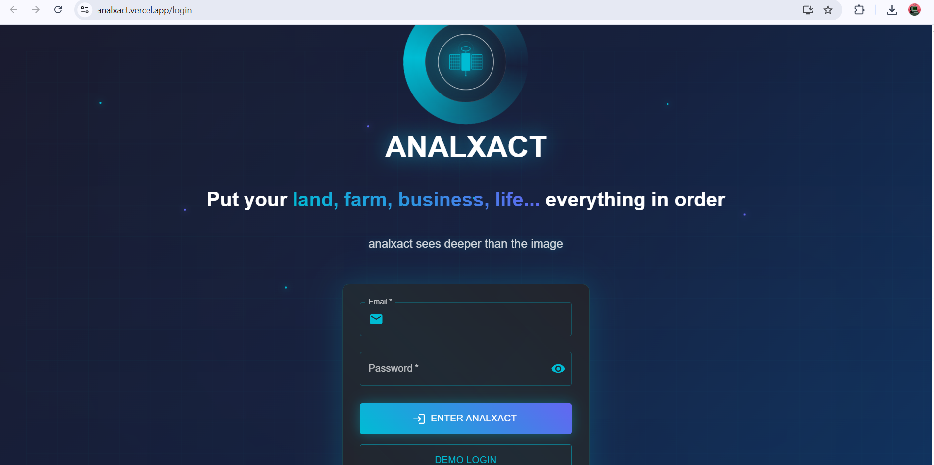
Analxact landing page (login/register)
-
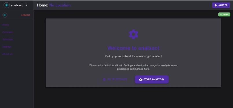
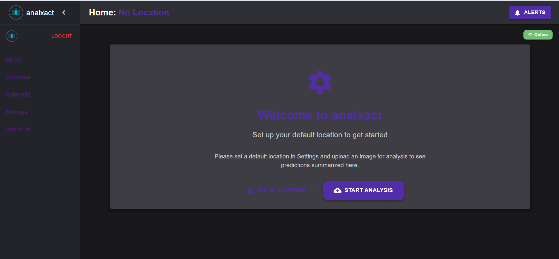
Home page
-
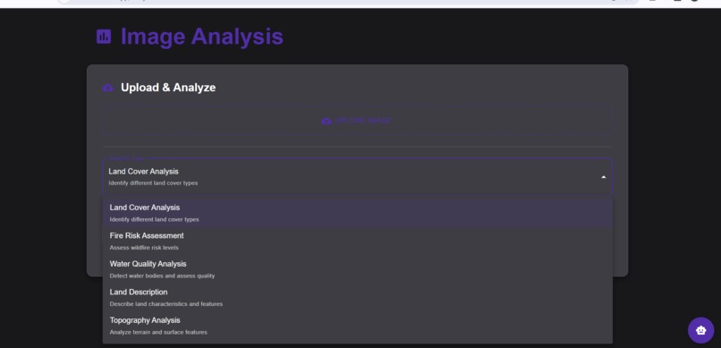
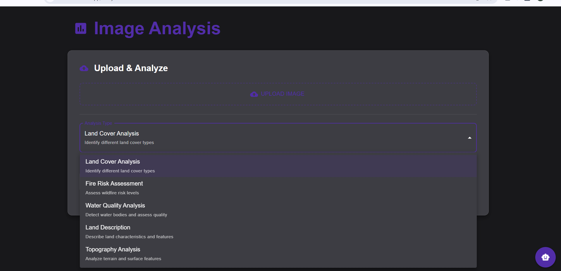
Image analysis options (using image classification AI)
-
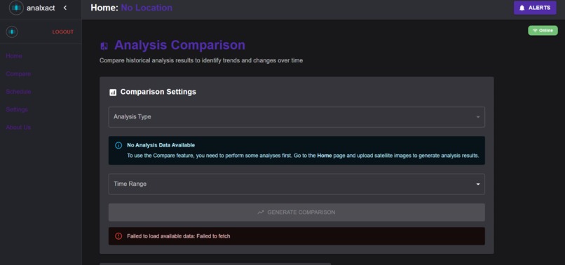
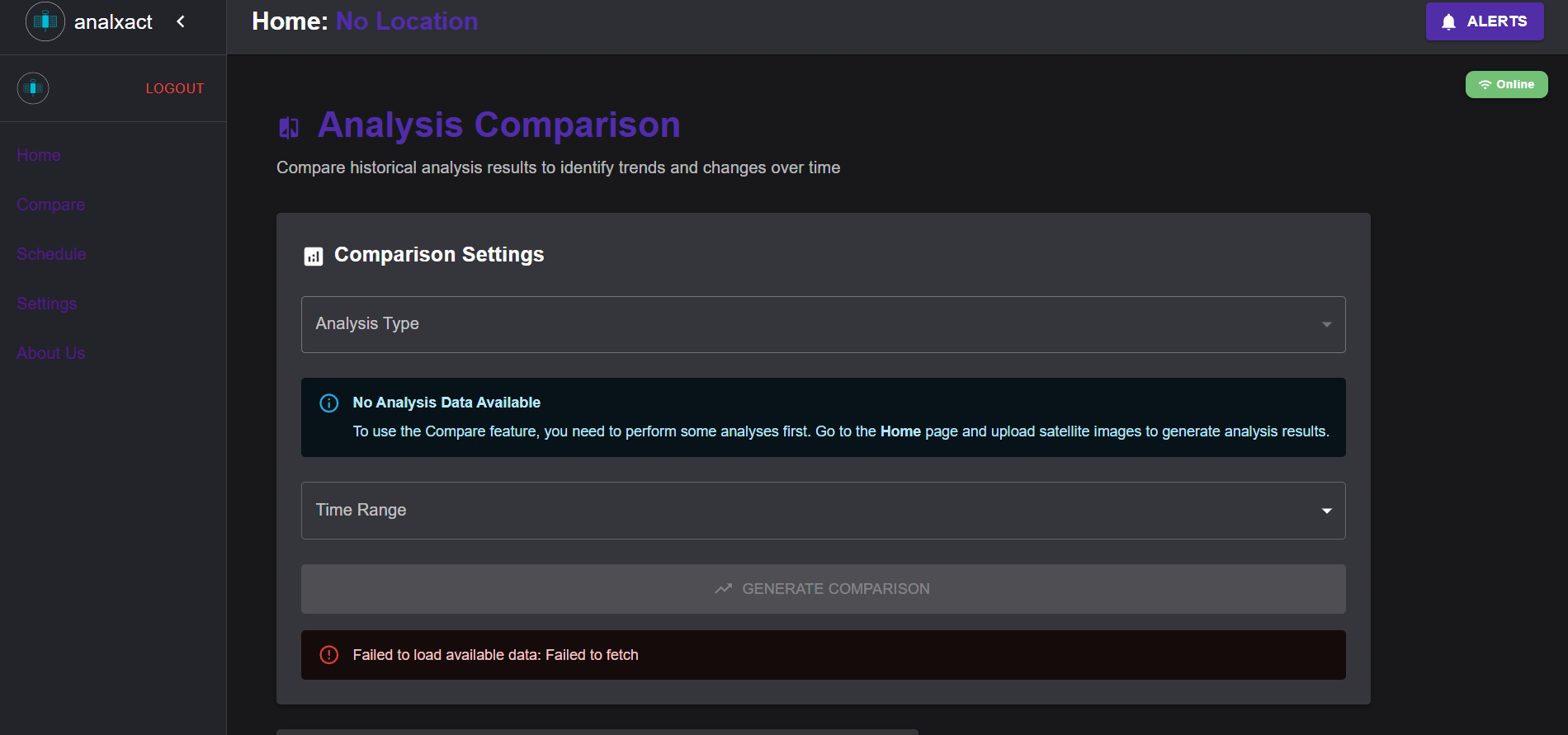
Compare results of analyses from different times
-
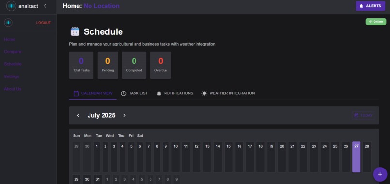
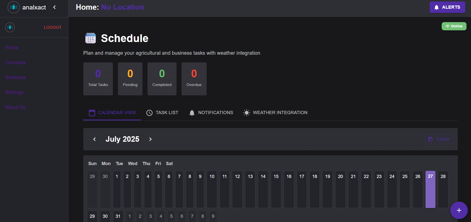
Plan your activities with Schedule
-
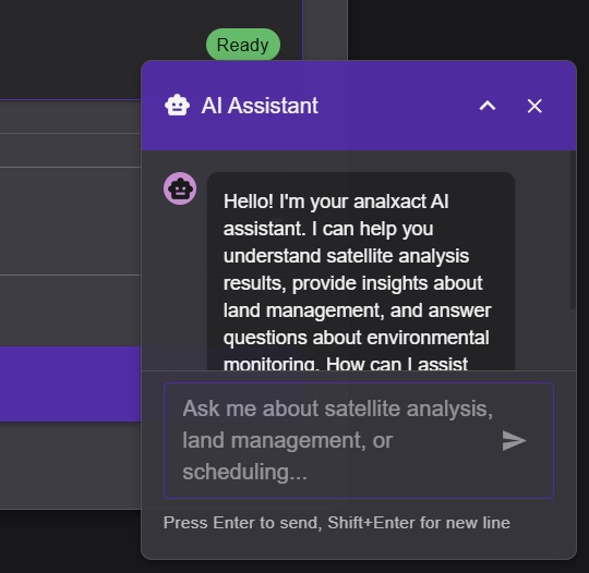
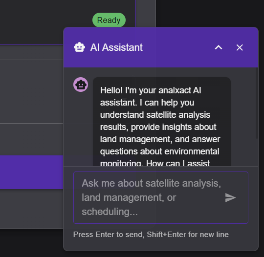
Analxact AI Chat (powered by llama)
-
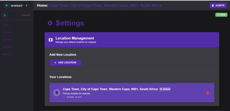
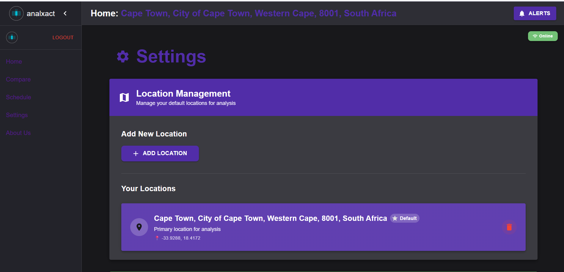
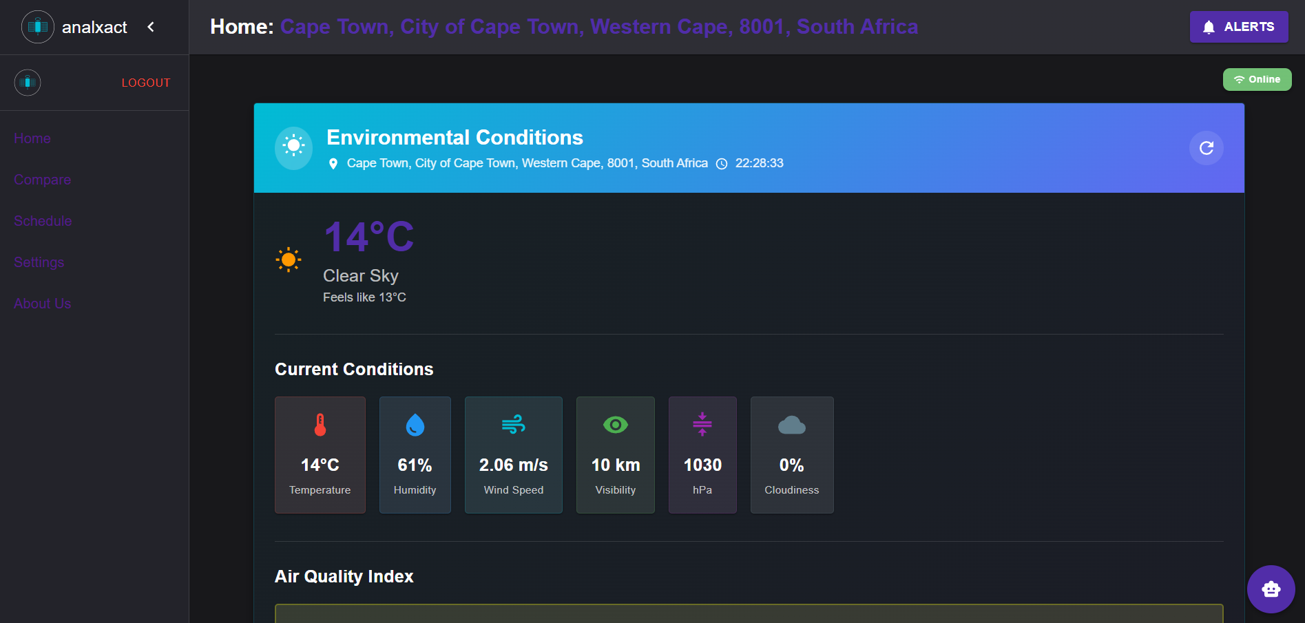
Choose your location for weather updates
-

Weather updates and air quality tracking
-
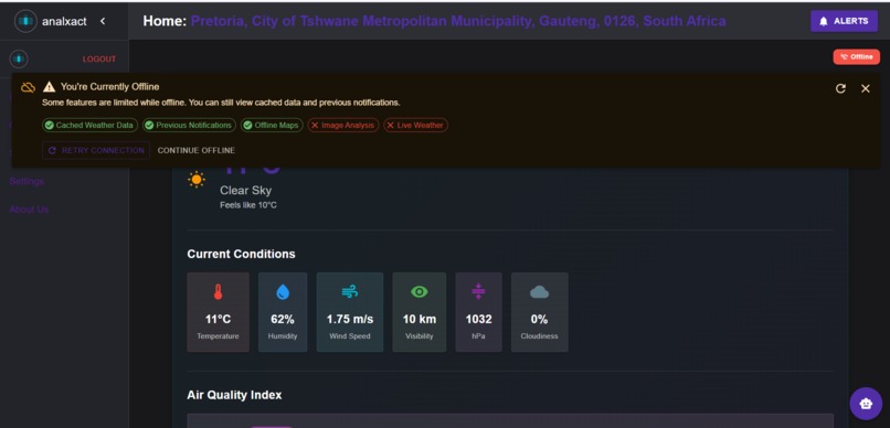
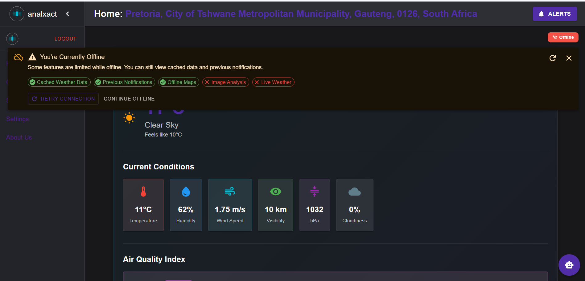
Offline first application
-
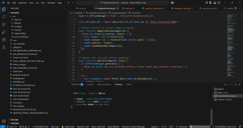
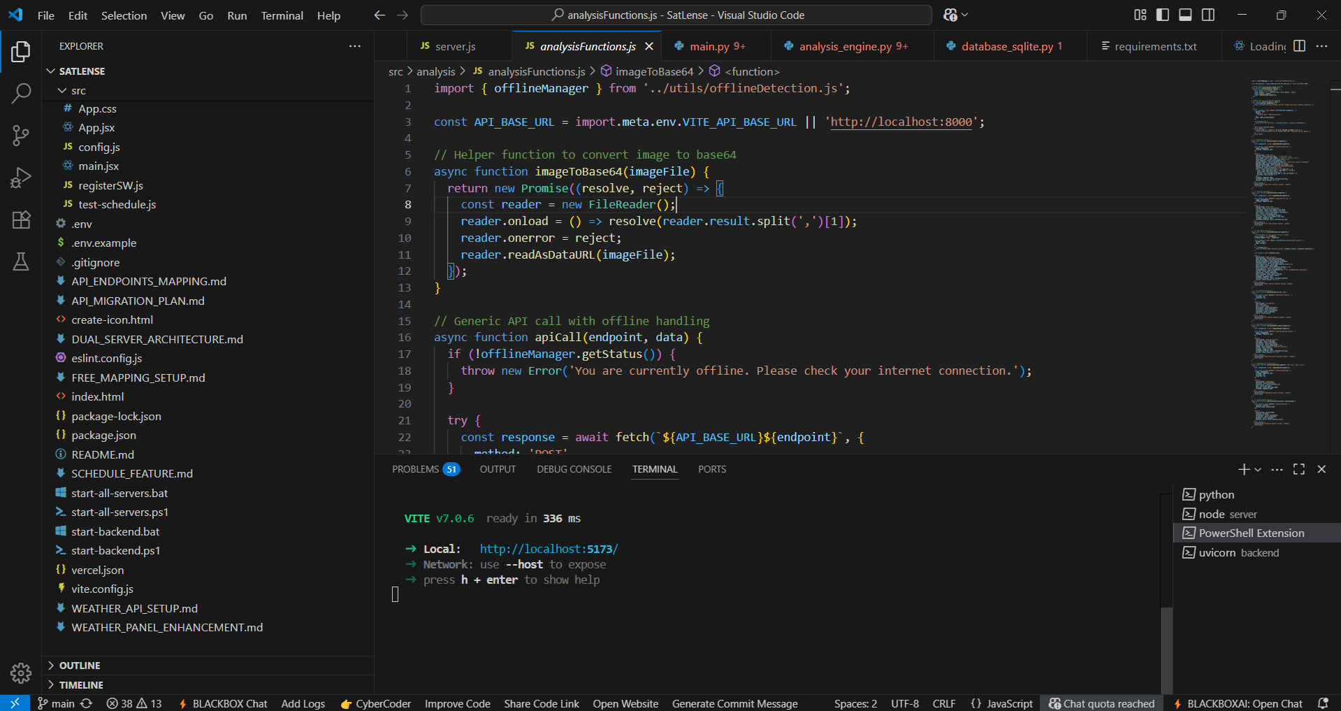
Build in action in VS code
Inspiration
Imagine running a farm, a small workshop, or a local business. It is your livelihood and requires constant, hands-on management. But when you are working on the ground every day, it can be tough to catch subtle changes across your land before they become expensive problems.
Consider these everyday challenges:
- Early Problem Detection: Spotting dry patches, crop stress, or standing water across large acreage takes time, and missed signs can lead to crop damage or fire hazards.
- Environmental Impacts: Nearby industrial or mining operations can pollute local rivers or soil. Detecting runoff early is essential to protecting your land, crops, and water supply.
- Resource Optimization: Over-applying fertilizer or water wastes money and damages soil productivity over time. Knowing where and how much to apply keeps operational costs down.
Unmonitored land changes directly affect your bottom line through higher operational expenses, reduced yields, and unnecessary financial risk.
That is why I built Analxact. I set out to create a practical, low-cost tool that gives land managers clear, actionable visual data without requiring expensive subscriptions or technical expertise. My goal is to help you keep your land productive, reduce wasted resources, and protect your revenue.
What it does
Analxact functions as a practical field assistant, processing uploaded imagery alongside local weather data to give you a clear picture of your land:
- Image Feature Analysis: Upload photos of your land to identify land cover types, detect dry vegetation that poses fire risks, or track changes in local ponds and streams.
- Live Weather & Air Quality: Access real-time temperature, humidity, wind direction, and air quality metrics to plan field operations efficiently.
- Automatic Severe Weather Alerts: Receive notifications for incoming severe weather (such as heavy rain or high winds) so you can secure equipment and protect assets in time.
- Task Scheduling: Set up location-based task reminders (such as routine fence or irrigation checks) that can adjust based on the weather forecast.
- Historical Comparisons: Compare side-by-side images of the same plot over time to monitor crop growth, land changes, or the results of soil treatments.
- Integrated AI Chat Assistant: Ask questions about your land analysis and get clear explanations and practical recommendations.
How I built it
I engineered Analxact with a fast, lightweight, and cost-efficient technology stack tailored for offline and low-resource environments:
- Frontend: Built using React and Vite for fast load times, responsive navigation, and smooth performance on low-spec hardware.
- Backend & AI Model: Powered by Python using the NVIDIA SegFormer-B0 model for image segmentation. This model delivers accurate feature detection without requiring heavy, expensive GPU servers.
- Free Geospatial Mapping: Integrates OpenStreetMap for base maps, Esri World Imagery for aerial views, and Nominatim for location search—ensuring zero subscription costs for map data.
- Offline Storage: Leverages Service Workers and client-side storage (IndexedDB) to cache maps and data, guaranteeing full app functionality without an internet connection.
Challenges I ran into
- Offline-First Synchronization: Engineering a system that caches data locally in zero-connectivity environments and automatically resolves state mutations when network access is restored.
- Optimizing ML Inference: Running accurate semantic segmentation models quickly without relying on costly backend cloud GPUs.
- Data Visualization: Abstracting complex scientific datasets and segmented spatial data into clean, intuitive UI components.
Accomplishments that I'm proud of
- Built for Practical Field Use: Turned complex image segmentation technology into simple, practical visuals that assist with everyday decisions on the ground.
- Reliable Offline Operation: Solved the technical challenge of offline synchronization, ensuring Analxact remains dependable in remote locations where cloud-only tools fail.
- Accessible Technology: Proved that high-tech spatial analysis can be delivered using open-source mapping layers and lightweight AI models without steep cost barriers.
What I learned
Building Analxact taught me how to deploy machine learning models efficiently within a web application, manage complex offline data syncs, and design software specifically around the real-world operational constraints of field work.
Performance & Validation
I tested Analxact extensively to confirm it performs reliably under weak network conditions:
- Fast Cold Starts: Loads in ~4.0 seconds on throttled 3G connections and ~1.5 seconds when completely offline.
- Quick Image Analysis: The AI segmentation pipeline processes uploaded images in an average of ~0.38 seconds.
- Offline Map Caching: Selected map regions download in under 2 minutes and remain fully interactive offline.
- Background Data Sync: Offline notes and saved records sync back to the database in just a few seconds once network connectivity is restored.
What's next for Analxact
- User Feedback Loops: I will continue gathering feedback from local operators to refine the UI and add tools that reduce daily field friction.
- Environmental Safety Sensors: Exploring integrations with local hardware sensors to monitor air quality and chemical runoff near industrial sites.
- Targeted Crop Insights: Developing specific modules for soil health tracking and yield estimation to assist with harvest planning and budgeting.
Built With
- dexie
- esri
- huggingface
- indexeddb
- javascript
- material-ui
- mongodb
- npm
- opencv
- openstreetmap
- python
- railway
- react-vite
- sqlite
- vercel


Log in or sign up for Devpost to join the conversation.