-
-
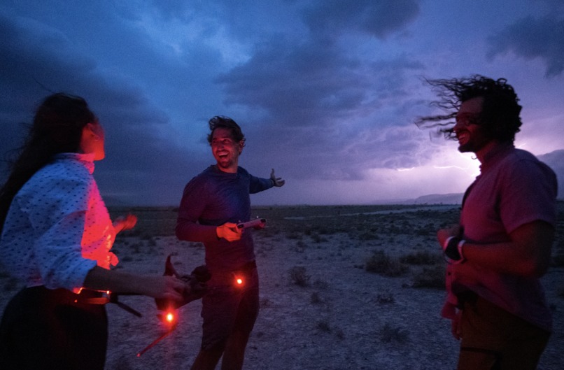
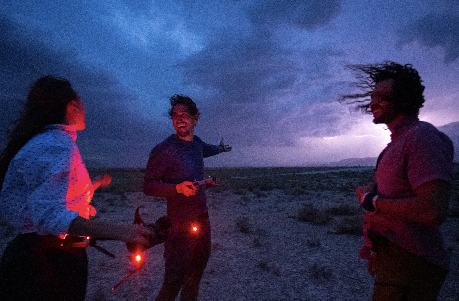
Caught in a thunderstorm during drone capture
-
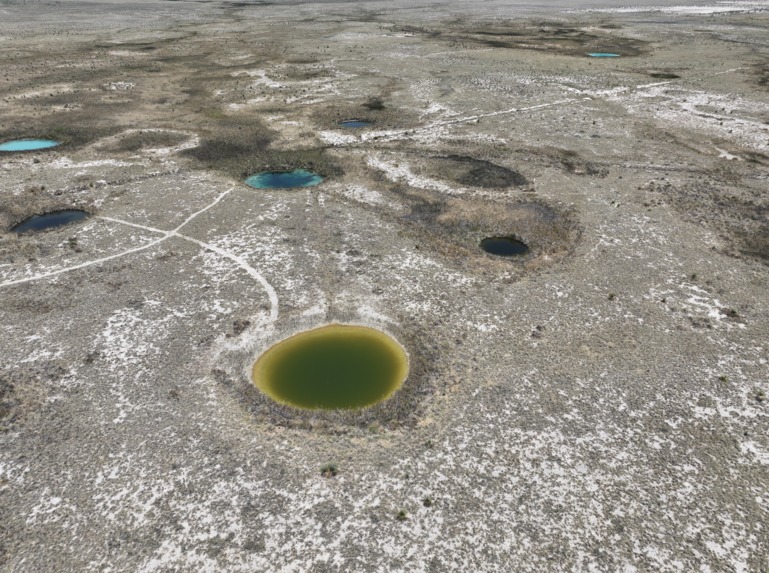
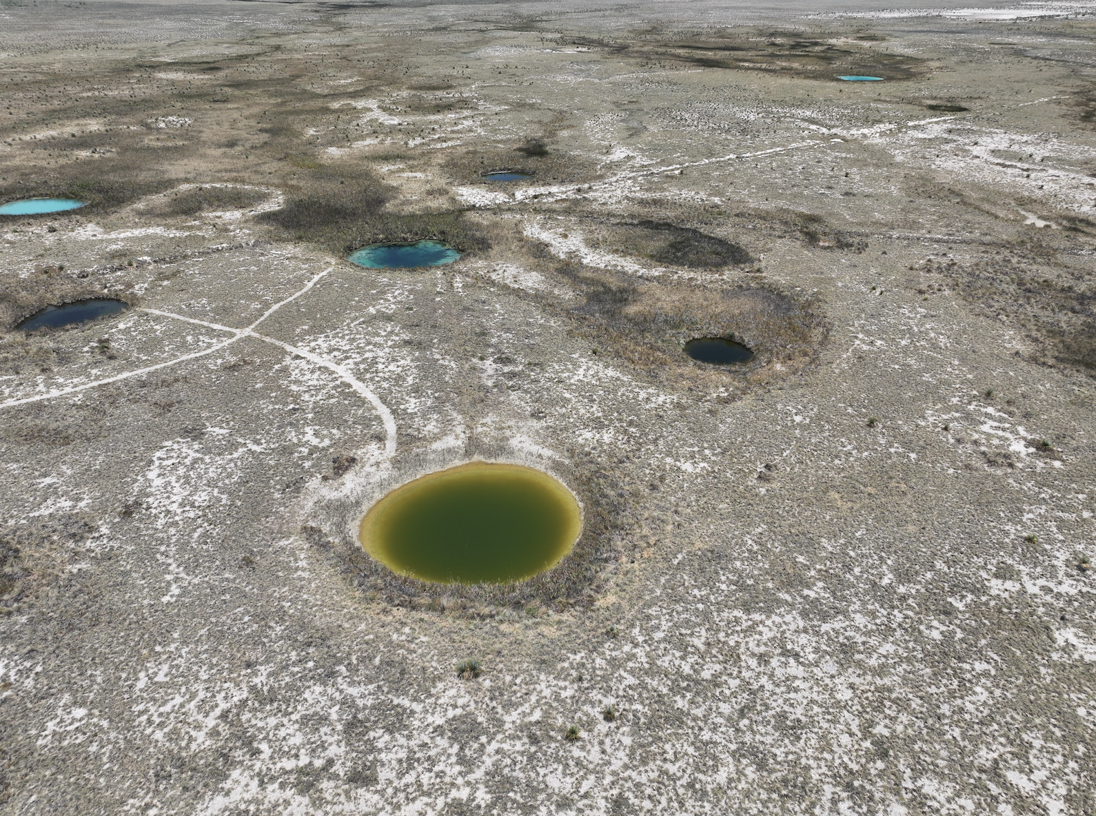
Drone shot of Iconic Pozas Azules used for photogrammetry
-
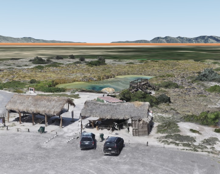
3D model of Poza Azul
-
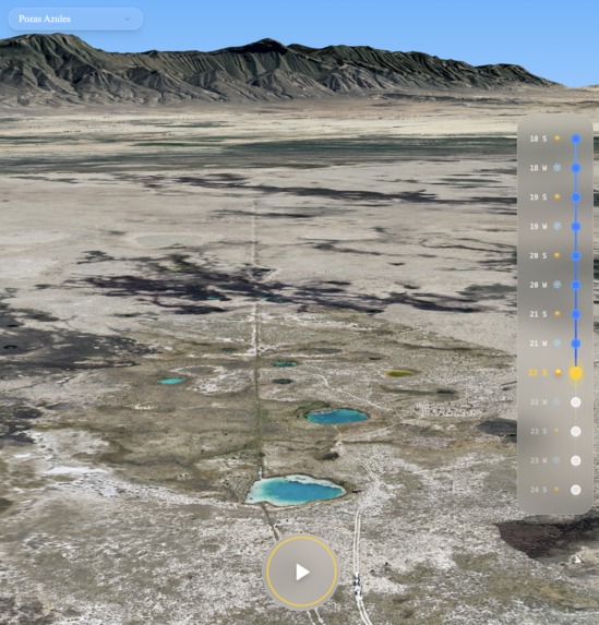
App showing 3D model of Pozas Azules


What it does
The lagoons of Cuatro Ciénegas are hard to reach. Many locals have never visited them, which makes it difficult to care about, connect with, or protect something you’ve never seen. It’s also hard to communicate environmental decay when it unfolds slowly over decades.
To bridge that gap, we created immersive 3D worlds. The result is a virtual tour of the basin that takes users into the journey of explorer Plinio Guzmán and his team. As they drive across Cuatro Ciénegas, meeting with local stakeholders, the viewer follows along—experiencing the landscape and conversations as they unfold.
We integrated high-resolution 3D models with Google 3D Tiles and placed them precisely on a georeferenced basemap to give users a real sense of space—showing how lagoons connect across the valley. By grounding the experience in geography, we aim to help people not just see the state of decay—but feel it.
How we built it
The project has three main components:
3D Models
In May 2025, we captured drone imagery across seven lagoon sites in Cuatro Ciénegas. Using ArcGIS Reality and Metashape, we reconstructed detailed photogrammetry-based 3D models and geolocated them using ground control points. Given their size—some over 4GB—we optimized them into 3D Tiles for efficient web and mobile delivery.Interactive Map
We hosted the 3D tiles with Esri and rendered them on a WebGL map using Deck.gl. We combined them with Google’s Photorealistic 3D Tiles to anchor the scenes in their real-world context—allowing users to understand not just what they’re seeing, but where.Animated Storyline
We used Hubble.gl to orchestrate the narrative—controlling the map camera to guide users through the experience. This let us sync imagery, conversations, and terrain transitions into a cohesive, cinematic journey across the basin.Realistic social videos In service of storytelling, we use Veo3 to create photorealistic social media videos that follow the Hubble camerapath.
Challenges we ran into
- Some 3D model reconstructions had holes or artifacts that required reprocessing. This is a resource-intensive process limited to Windows-only tools.
- Tooling was fragmented. We had to stitch together photogrammetry, geolocation, 3D tile conversion, and web rendering across multiple platforms with inconsistent standards.
- Aligning custom 3D models with Google 3D Tiles and basemaps was difficult. Even small misalignments broke the illusion and disrupted the immersive feel.
Accomplishments that we're proud of
- Built a meaningful partnership with CONANP, Mexico’s national conservation agency. They now use the models and virtual experience in the field to engage communities.
- Shifted the narrative from fragmented interests to a shared vision for sustainable water use.
- Successfully integrated multiple technologies—Deck.gl, drone photogrammetry, basemaps, and 3D Tiles—into one seamless platform.
- Completed the project within budget, despite the complexity.
What we learned
- Serving high-resolution 3D models on the web—especially in areas with poor connectivity—requires heavy optimization. 3D Tiles were essential for making 4GB models run smoothly in-browser.
- The photogrammetry workflow is still fragmented and unintuitive. Editing and refining 3D models across tools remains cumbersome, especially for non-technical conservation teams.
- Most importantly, we learned that data alone isn't enough. As Cristino, head of CONANP, put it:
“You’re speaking to each person’s human needs through an economic argument. And that’s what protected areas are really about—not just conserving natural resources, but improving the lives of the people who depend on them.”
That mindset shaped our approach to storytelling.
What's next for Mapping Desertification: 3D Meets Local Stories
We’re working on a short teaser video to publicly introduce the project, leading up to a presentation at National Geographic in February 2026.
We’re also exploring enhancements through new tools and APIs:
- Geospatial analytics & environmental APIs — to enrich the experience with climate trends and historical data
- Google Maps grounding — to tie 3D scenes more tightly to real-world context
- Google Earth Engine (LULC embeddings) — to add analytics and reveal long-term land use trends
- Weather API integration — to overlay live or historical weather layers
These features aim to deepen both the scientific rigor and storytelling power of the project.
Built With
- deckgl
- esri
- fused
- google-3d-tiles
- hubble
- react
- typescript
- vercel

Log in or sign up for Devpost to join the conversation.