Inspiration
We wanted to test changes to Glendale’s streets before moving signs or repainting lanes—and see how those streets respond when an emergency blocks the usual routes.
What it does
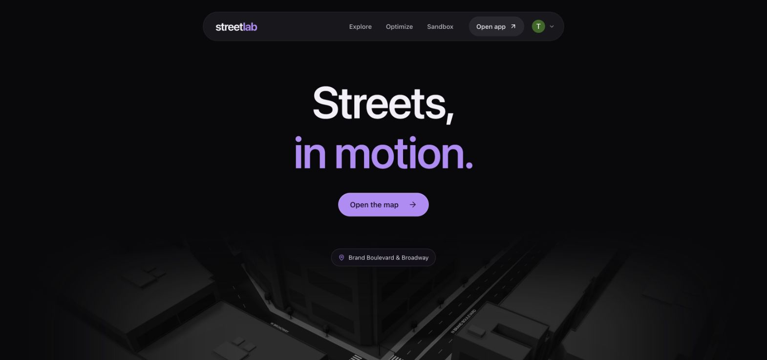
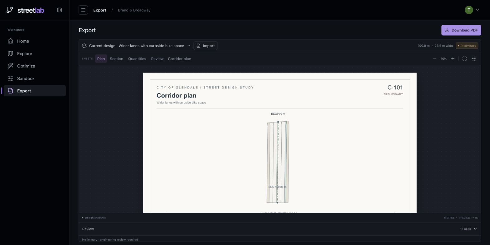
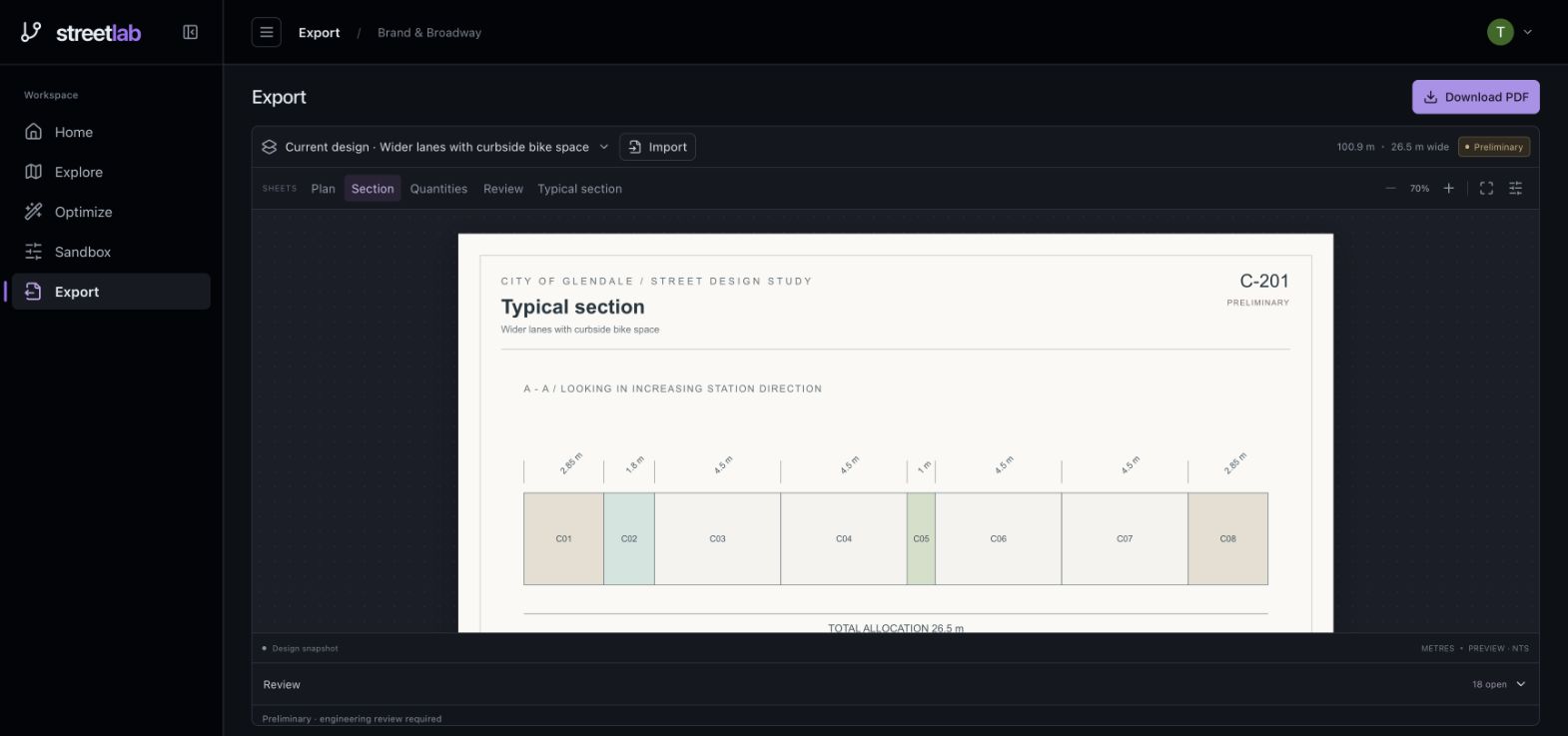
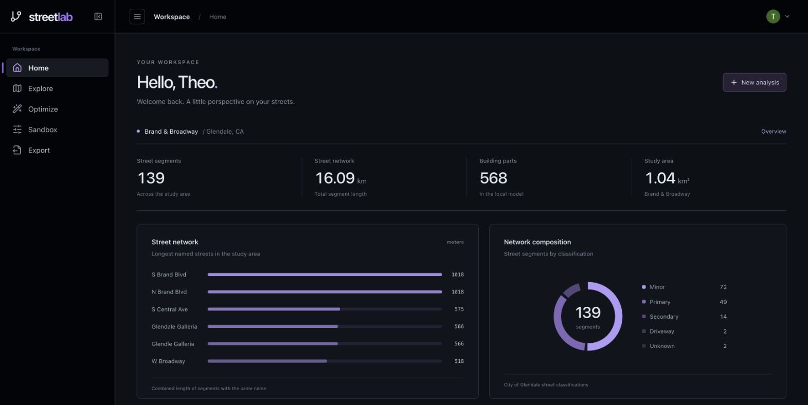
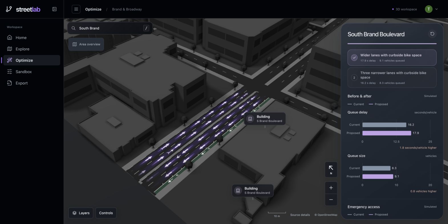
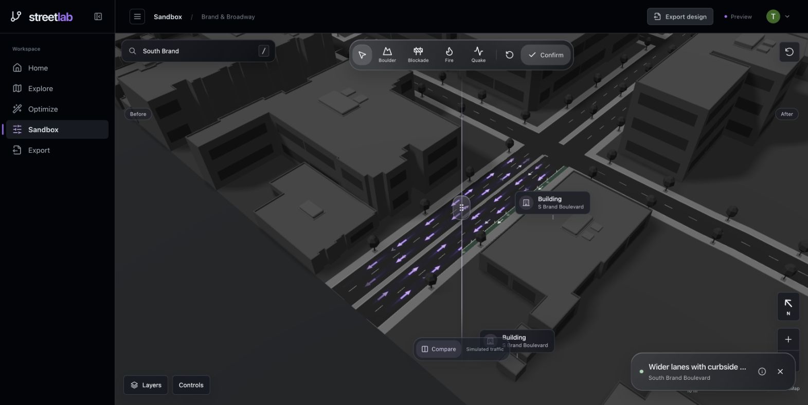
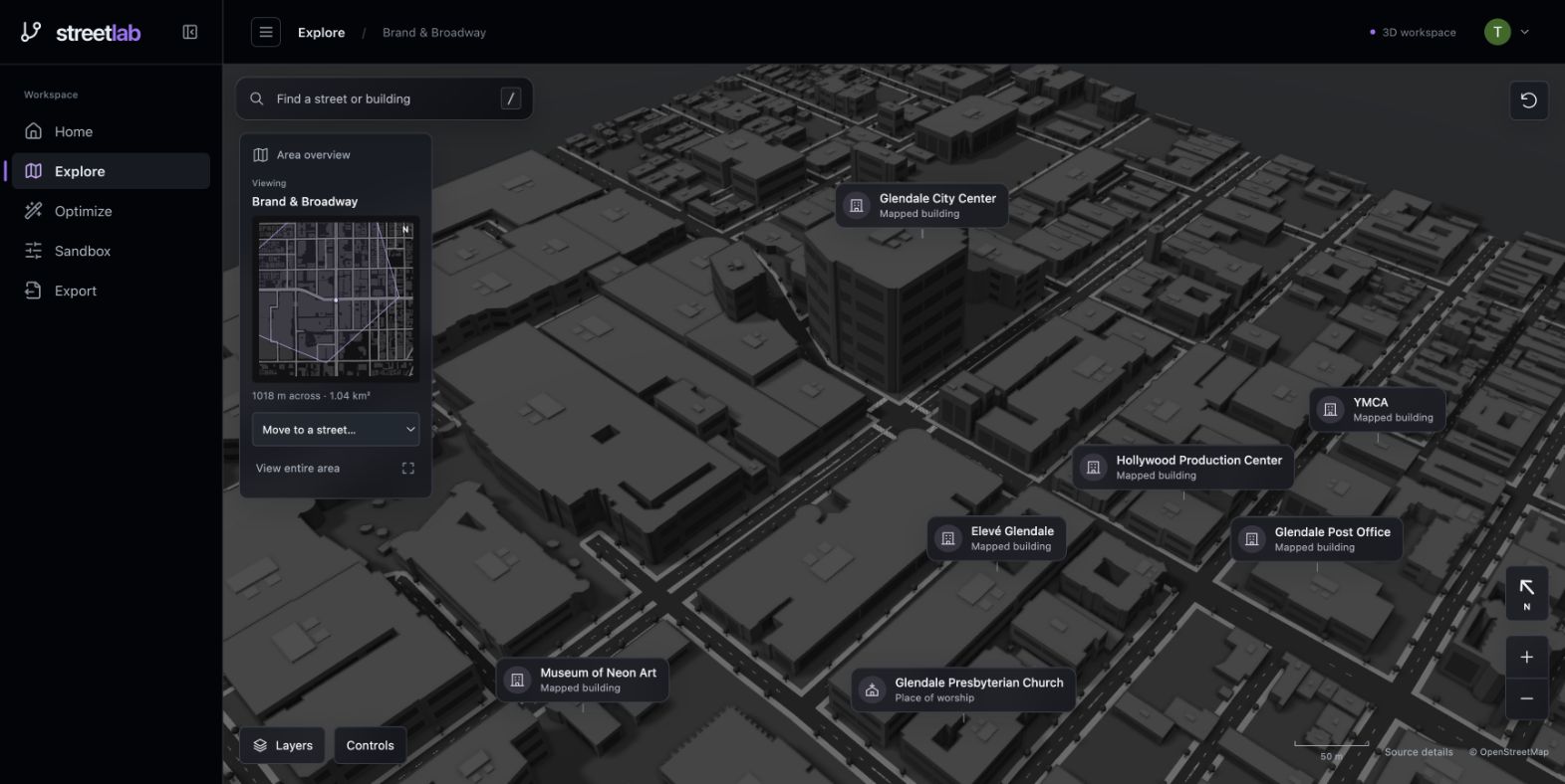
StreetLab lets you explore a 3D map, select a street, and generate design alternatives. Compare traffic graphs and a before-and-after preview, test the design in Sandbox, and export a PDF.
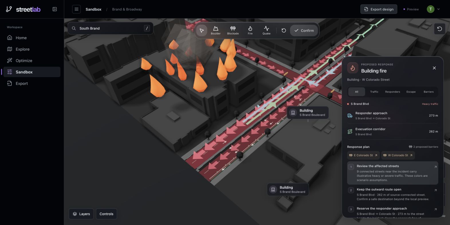
Drop fires, earthquakes, or roadblocks into Sandbox to visualize congestion, proposed road controls, escape routes, and emergency access.
How we built it
React, TypeScript, and Three.js power the interface and OpenStreetMap scene. A Python FastAPI backend validates designs and evaluates traffic. GPT-6 Luna proposes layouts, while scikit-learn models estimate outcomes from synthetic simulation data. These estimates are not yet calibrated against measured traffic.
Challenges
Keeping the expanded map responsive, aligning proposed lanes with existing streets, and preserving consistent results from analysis through PDF export.
Accomplishments
Connecting exploration, AI design proposals, visual comparisons, emergency scenarios, and export into one workspace.
What we learned
A useful proposal must fit the street, pass validation, and be compared under consistent assumptions. Clear visuals make those results easier to understand.
What’s next
Calibrate against measured traffic, expand map coverage, and improve connected-street simulations with feedback from planners and emergency responders.

Log in or sign up for Devpost to join the conversation.