-
-
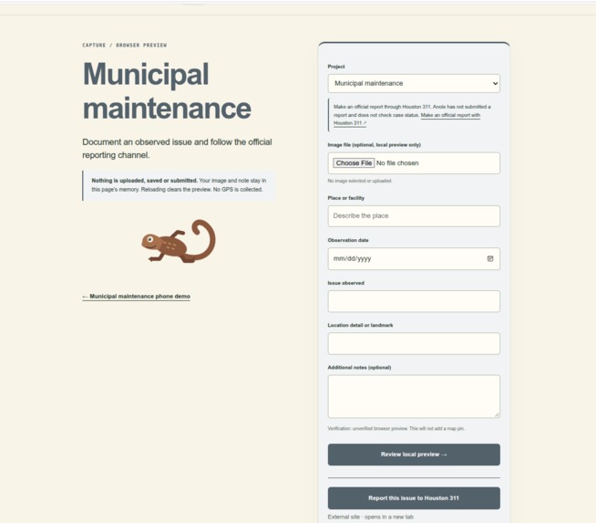
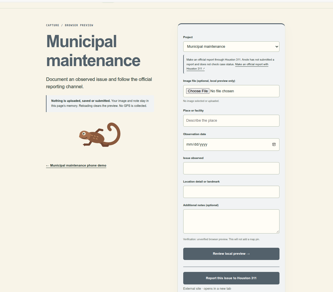
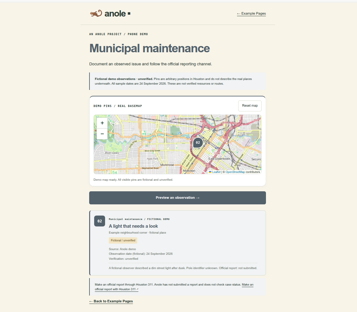
Municipal Map Capture page
-
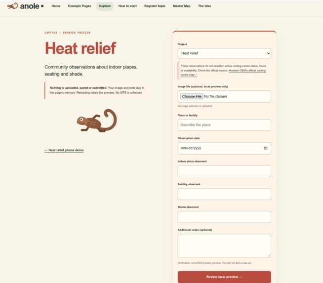
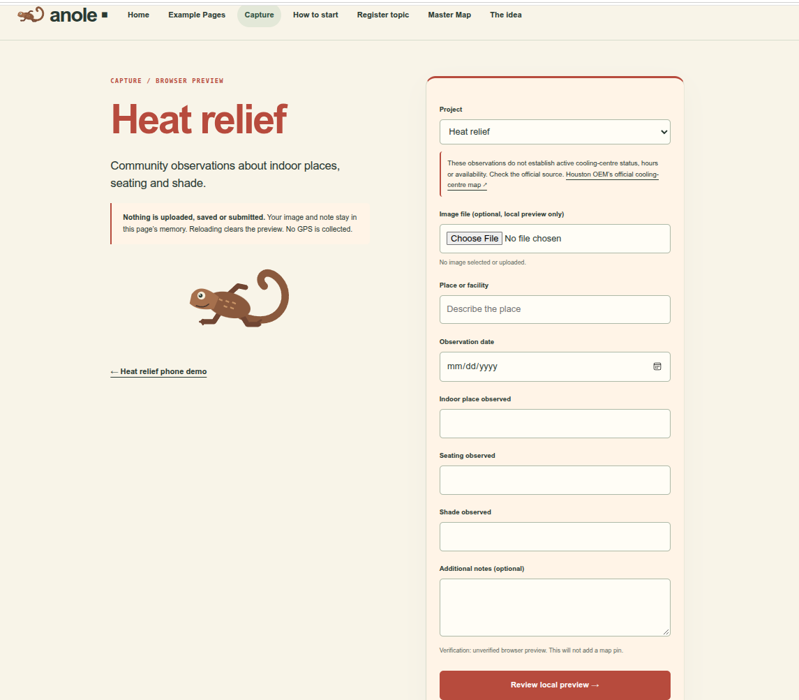
Heat Relief Capture page
-
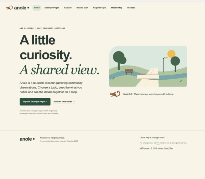
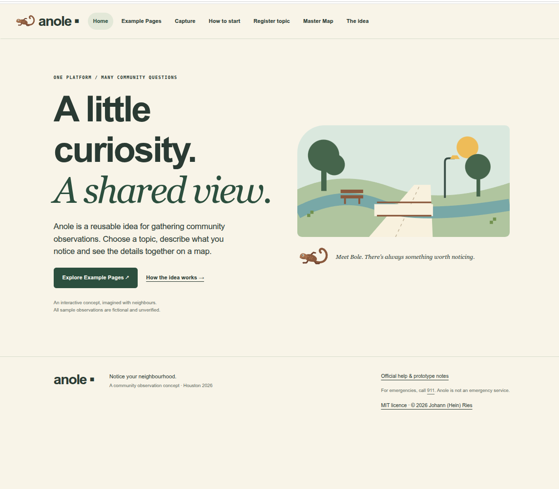
Home page
-
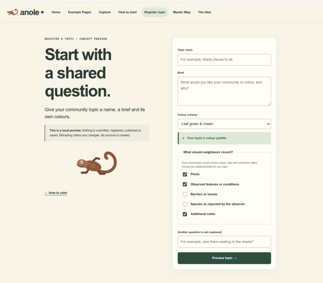
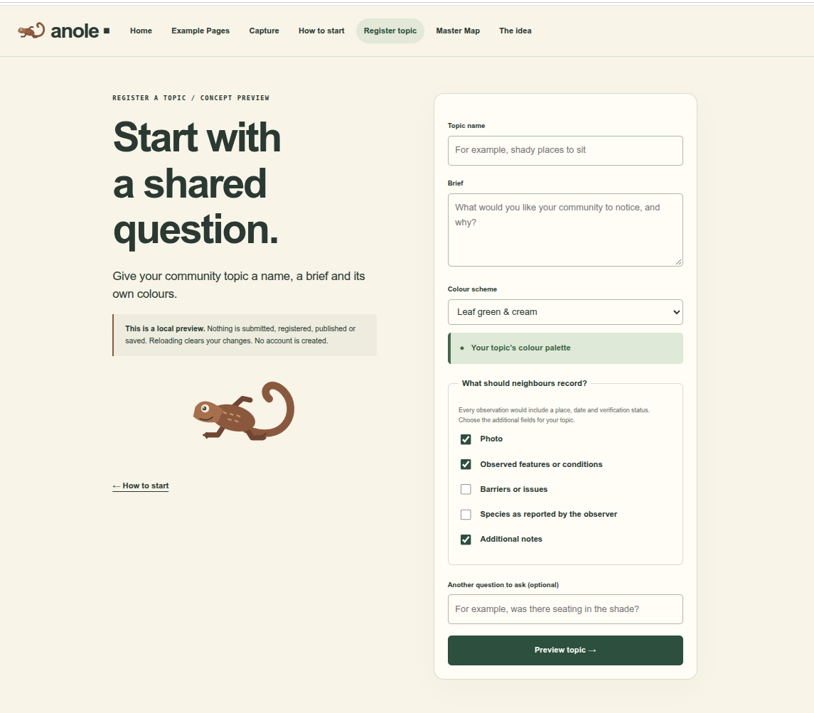
Creators page
-
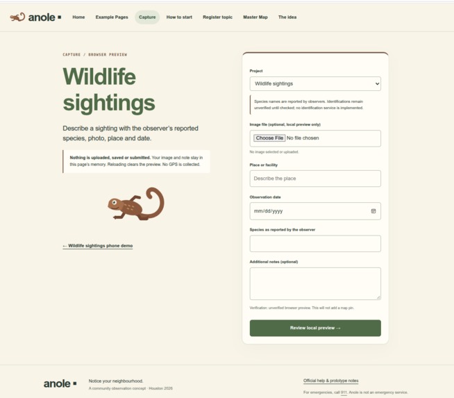
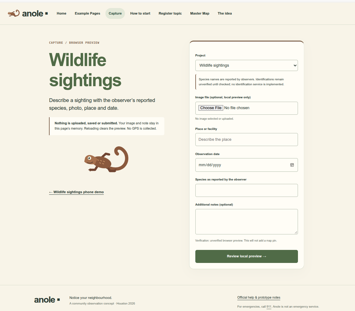
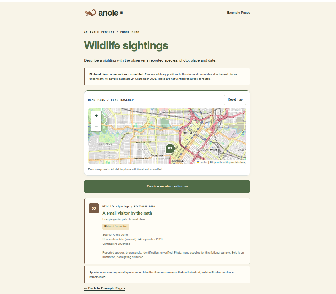
Wildlife Capture Page
-
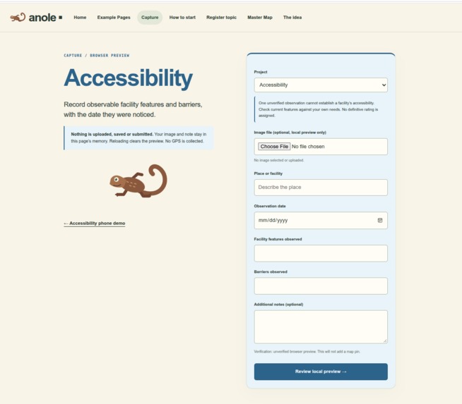
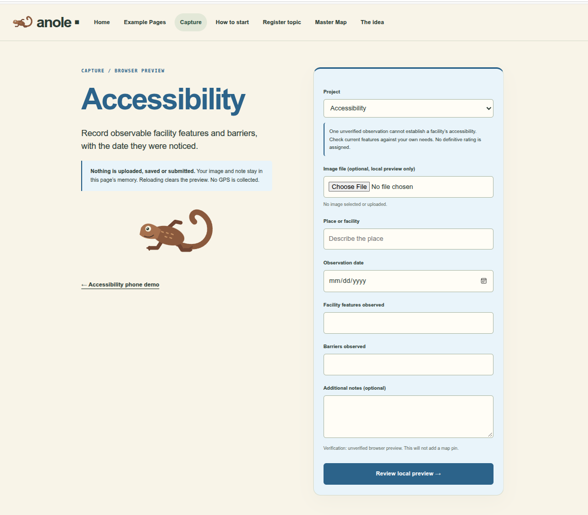
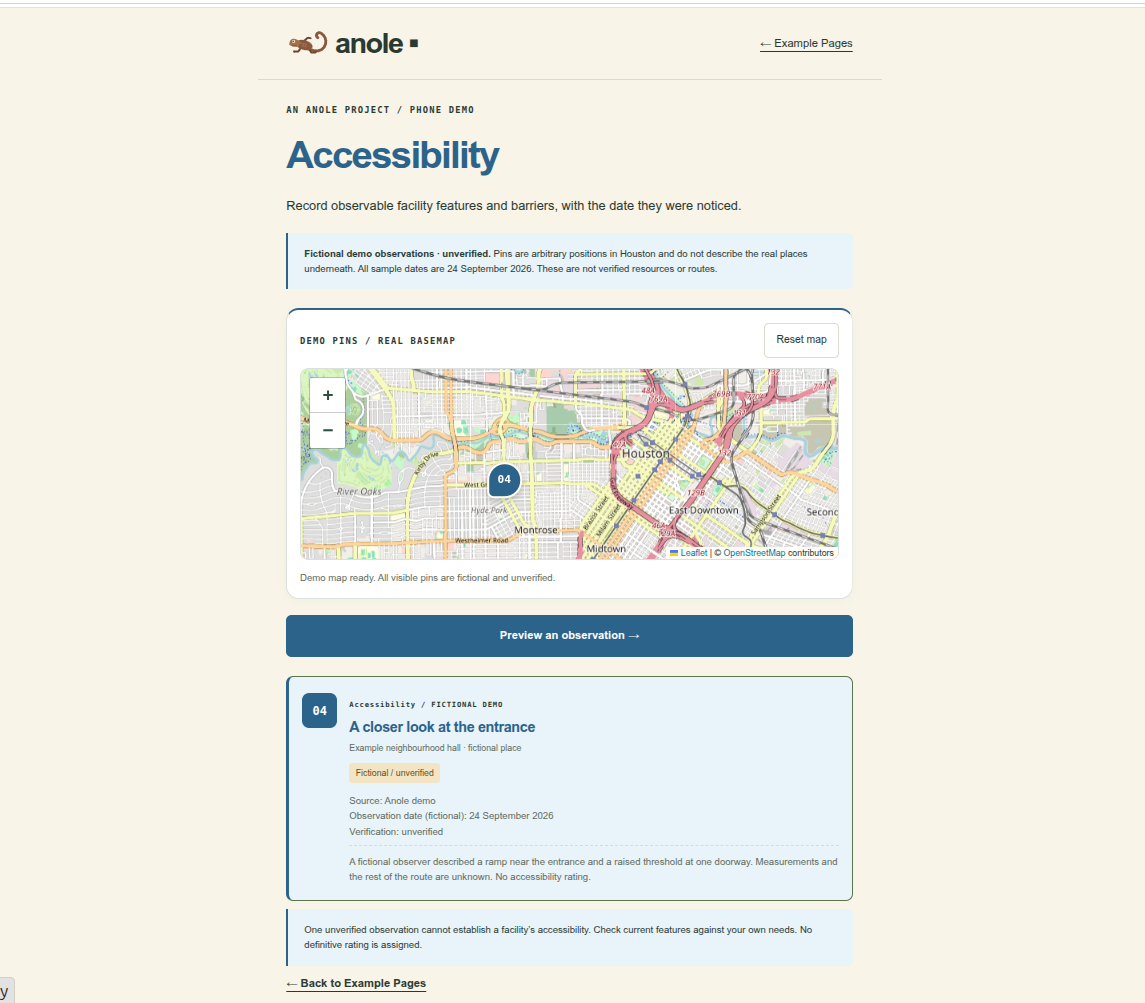
Accessibility capture page
-
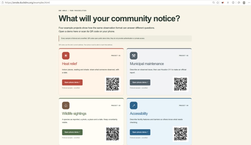
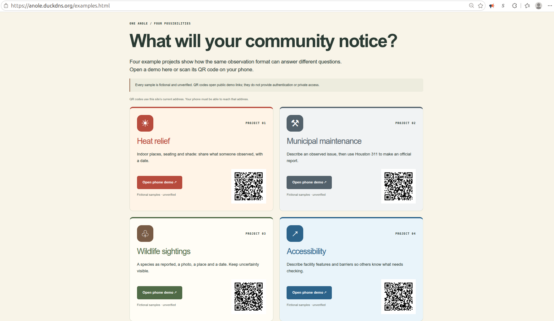
Example page
-
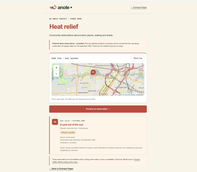
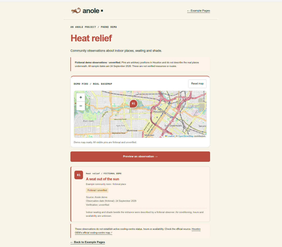
Heat Relief Map
-
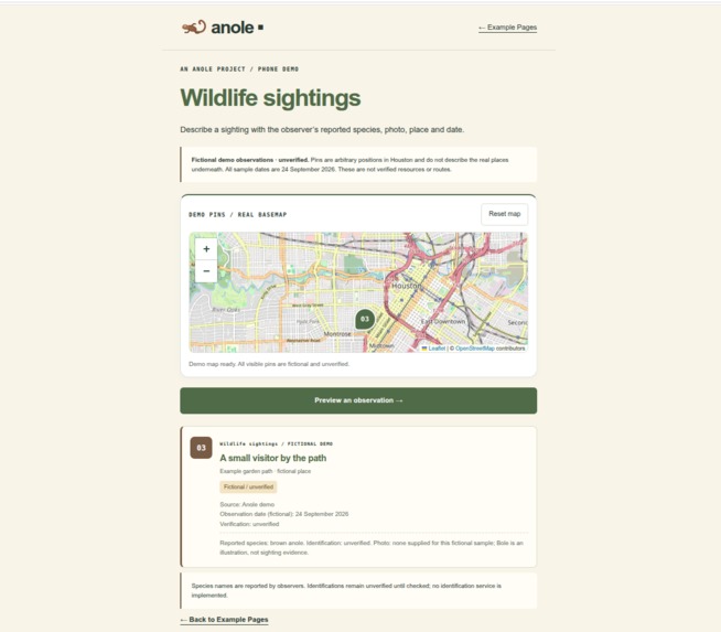
Wildlife Map Page
-
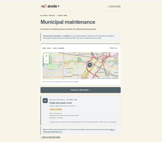
Municipal Map page
-
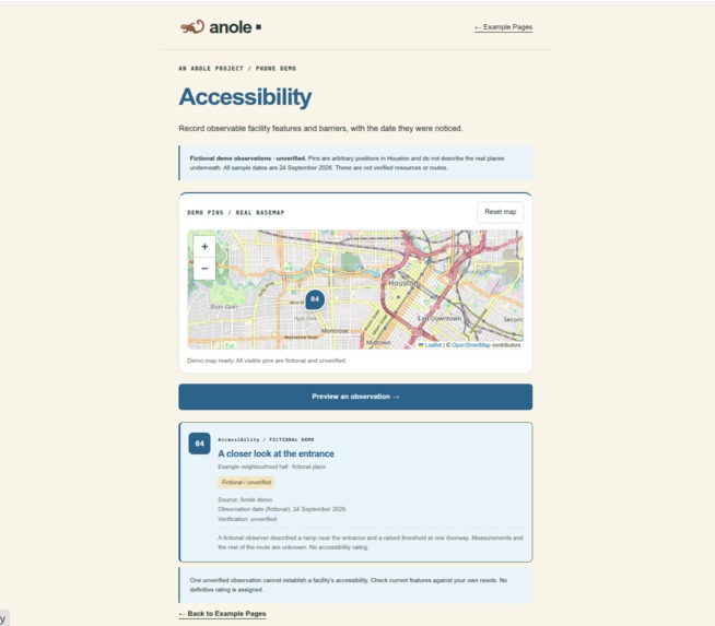
Accessibility map
-
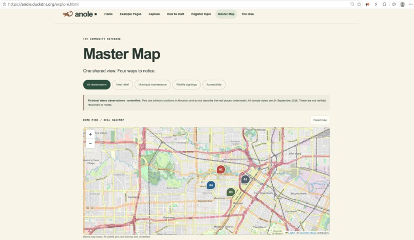
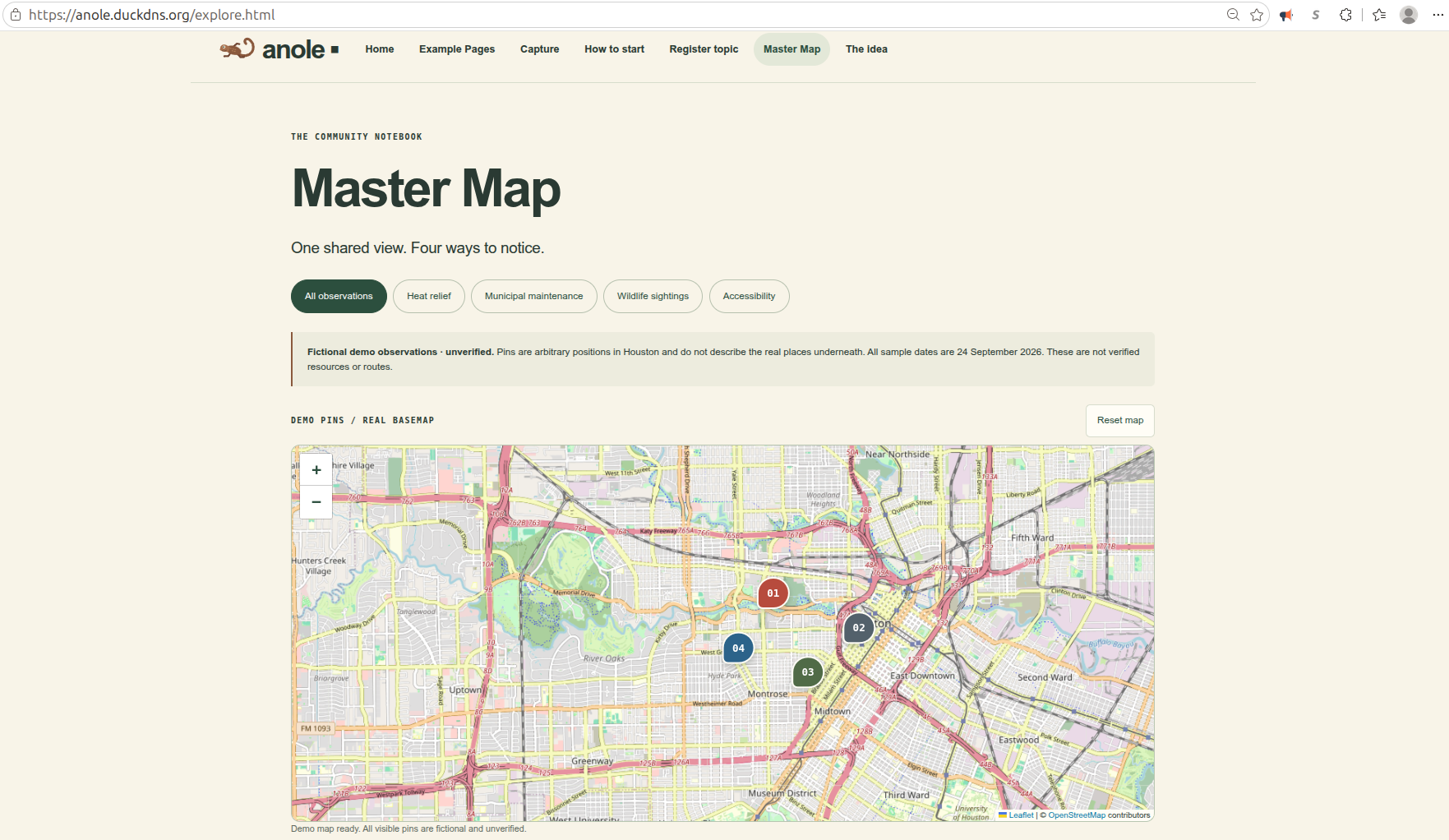
Master map
Inspiration
At Houston Hackathon 2026, we listened to 15 pitches. Ideas about heat relief, accessibility, wildlife, public spaces, and city maintenance shared a common need: capture useful information at a location and share it with the community. That became Anole Capturing App.
What it does
Anole shows how communities could create maps for different purposes. Our demo includes four examples: heat relief, maintenance issues, wildlife sightings, and accessibility. Visitors can explore sample locations and use a QR code to open a mobile capture demo. Submissions are not yet saved.
How we built it
We built a mobile-friendly website using HTML, CSS, JavaScript, and an interactive map. We also started a Python backend for future data storage. Our two-person team developed and reviewed the concept for the hackathon.
Challenges we ran into
We needed one simple design that could serve many different projects. Finding reliable starting data and deciding how to store community observations were also challenges. We wanted to complement Houston 311 by directing city issues there while making other local information easier to discover.
Accomplishments that we're proud of
We created four examples using one shared concept, an interactive sample map, and mobile demos accessible by QR code. Together, they show how Anole could support different community needs.
What we learned
Houston publishes useful city data, including 311 information. We also learned that official records and community observations can serve different needs, and that every map item needs a clear source and verification status.
What's next for Anole Capturing App
Next, we want to save photo and GPS observations, add community-created pages and forms, and connect suitable public data. Before launch, we need to address privacy, security, and moderation. We hope to keep small community maps free and find a sustainable way to support larger projects.


Log in or sign up for Devpost to join the conversation.