Devpost
Participate in our public hackathons
Devpost for Teams
Access your company's private hackathons
Grow your developer ecosystem and promote your platform
Drive innovation, collaboration, and retention within your organization
By use case
Blog
Insights into hackathon planning and participation
Customer stories
Inspiration from peers and other industry leaders
Planning guides
Best practices for planning online and in-person hackathons
Webinars & events
Upcoming events and on-demand recordings
Help desk
Common questions and support documentation
Sort by:
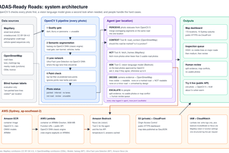
An agent that checks whether car cameras can see the lane lines on Sydney's roads, using crowdsourced photos, OpenCV 5 and AWS.
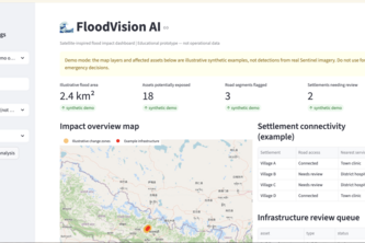
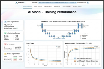
An AI-powered flood mapping system that uses satellite imagery to identify flood damage, assess affected infrastructure, and detect settlements disconnected from roads.
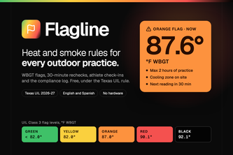
Free heat safety for every outdoor practice. Flagline turns WBGT forecasts and meter readings into Texas UIL practice plans, 30-minute rechecks, athlete check-ins and a compliance log.
Echo turns what you love into what you do. Tap your favorite shows and songs, and an agent built on Qloo plans one real thing near you, then learns from how it went.
Do fast, save faster
Turning Sentinel-1 satellite change into actionable flood-impact and community-access intelligence.
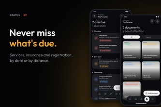
The logbook your car deserves
Read the air. Write your story. Hourly pollen forecasts, a symptom diary, and clear patterns in a personal field guide.
A citizen-powered platform that combines calm routing, environmental risk detection, AI verification, and public-health reporting.
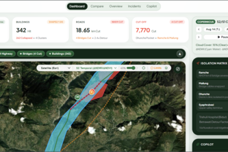
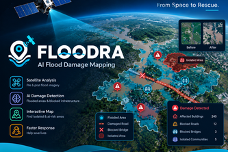
AI-powered satellite analysis that detects flood damage, identifies blocked infrastructure, and maps isolated areas to help rescue teams respond faster. Tagline: “From Space to Rescue.”
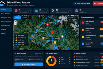
A geospatial decision-support platform for flood monitoring, infrastructure impact assessment, and emergency rescue coordination.
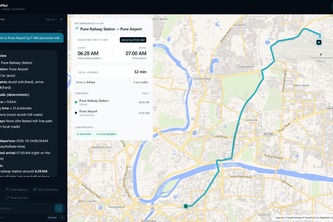
A map-first conversational navigation cockpit pairing LLM reasoning with deterministic MCP routing, arrival deadline math, and private on-device neural voice.
See the Flood. Find the Damage. Reach the Cut Off.
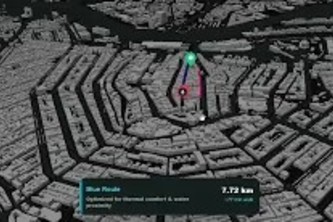
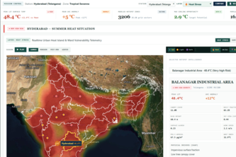
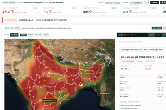
Physics-guided geospatial intelligence for urban heat mitigation
Never lose your way again — AI-guided, AR-powered walking navigation for people who get disoriented easily.
FloodWatch uses satellite data to map flood zones and assess infrastructure risks for faster disaster response.
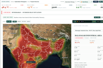
AI-powered geospatial platform that predicts urban heat hotspots.
Smart Service Finder connects users with trusted local professionals using AI-powered recommendations, transparent profiles, and easy booking—making it faster and safer to find the right service.
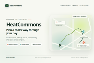
Plan a cooler day with the local forecast, nearby places to pause, and walking options in one clear view.
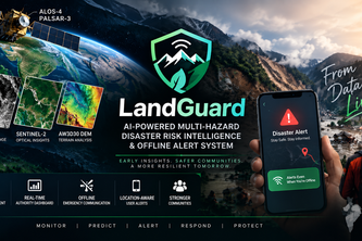
LandGuard — From satellite intelligence to rapid flood-damage mapping, identifying damaged infrastructure and cut-off communities, even when connectivity fails.
A system that uses satellite images to map flooded areas, identify potentially damaged roads and buildings, and find villages that may be cut off from nearby towns and hospitals.
LIFELINE connects patient, ambulance, and hospital in real time—streaming AI triage, atomic dispatch, and ER bed reservations from SOS tap to hospital handover.
Your private driving journal. Record your trips, understand your habits, and rediscover your roads.