Devpost
Participate in our public hackathons
Devpost for Teams
Access your company's private hackathons
Grow your developer ecosystem and promote your platform
Drive innovation, collaboration, and retention within your organization
By use case
Blog
Insights into hackathon planning and participation
Customer stories
Inspiration from peers and other industry leaders
Planning guides
Best practices for planning online and in-person hackathons
Webinars & events
Upcoming events and on-demand recordings
Help desk
Common questions and support documentation
Sort by:
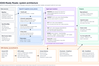
BloggerBear is a serverless AWS agent that researches topics and writes reviewed articles. We're giving it eyes: OpenCV 5 analyzes satellite imagery so changes can become stories. Topic Train Networks
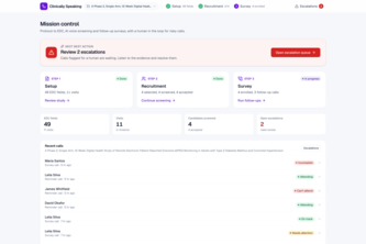
An AI assistant for clinical research coordinators, that sets up the study, makes the calls and turns every conversation into traceable data, so they can enroll faster and trust the numbers.
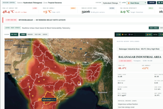
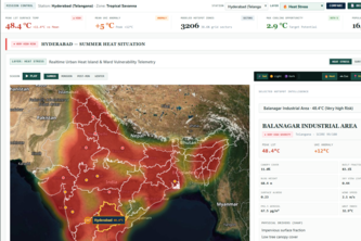
Physics-guided geospatial intelligence for urban heat mitigation
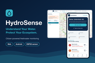
Understand Your Water, Protect Your Ecosystem.
StreamProof grades and verifies citizen stream reports and writes them in OneAquaHealth's own FHIR profiles, with a machine readable rule for what each trust level may be used for.
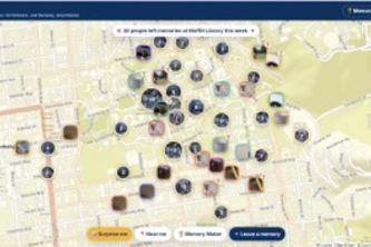
Social media rewards performing, not remembering. Do: live your life, or try our challenges. Pin: leave the memory where it happened. Wandr: find strangers' stories. No likes, no feed, just Berkeley.
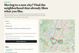
Moving to a new city? Newcomer finds the neighborhoods that already like what you like, using Qloo's taste map, and shows the places that prove it.
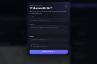
Turn community reports into prioritized, actionable insights with live maps and community-powered urgency.
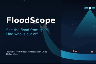
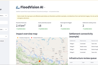
Mapping Flood Impact from Space: AI-powered flood detection, infrastructure damage assessment, and road connectivity analysis to identify affected areas and isolated communities.
An AI-powered urban ecology compiler that transforms real-world geospatial data and city goals into optimized, visual plans for greener, cooler, more resilient cities.
Sentinel radar + pre-event OSM show where floods hit, what broke and which villages are cut off, with an English/Nepali situation report whose numbers come only from the maps.
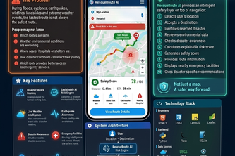
Not just the fastest route — the safest one
RescueRoute AI — AI-powered emergency routing that finds the safest and fastest route during crises.
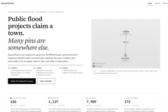
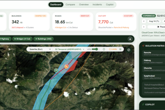
9,855 flood contracts. A pin 207 km from the claimed town. GroundTruth sorts what to fix, visit, or leave alone.
"When Ground Lifelines Fail, Space Sees Beyond."
Animal bumper-kart racing through Myanmar, sun to monsoon.
An AI-powered women’s safety app offering SOS alerts, GPS tracking, audio/video evidence, voice-to-text, translation, distress detection, and legal awareness for rapid emergency support.
An AI powered bike routes app that listens to you and your criteria.
An agent that checks whether car cameras can see the lane lines on Sydney's roads, using crowdsourced photos, OpenCV 5 and AWS.
An AI-powered flood mapping system that uses satellite imagery to identify flood damage, assess affected infrastructure, and detect settlements disconnected from roads.
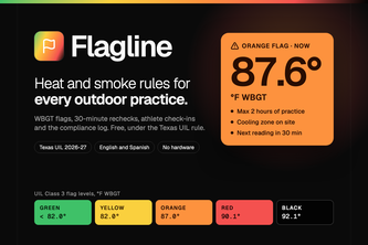
Free heat safety for every outdoor practice. Flagline turns WBGT forecasts and meter readings into Texas UIL practice plans, 30-minute rechecks, athlete check-ins and a compliance log.
Echo turns what you love into what you do. Tap your favorite shows and songs, and an agent built on Qloo plans one real thing near you, then learns from how it went.
Do fast, save faster