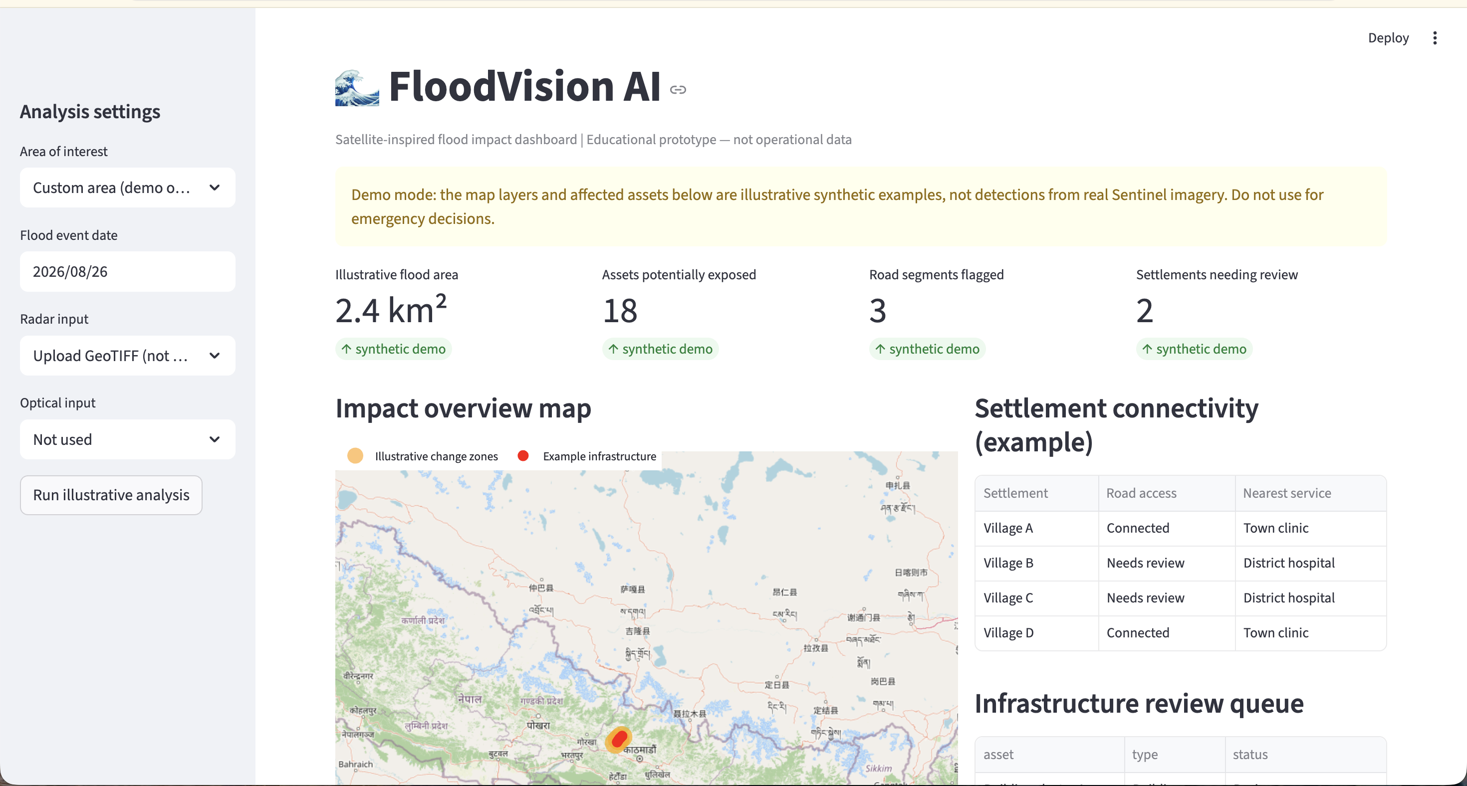
FloodVision AI — Satellite-Based Flood Change Screening
FloodVision AI is a research prototype that compares pre-event and post-event Sentinel-1 radar imagery to highlight locations that may have experienced changes consistent with surface water.
The application retrieves public Sentinel-1 RTC imagery through Microsoft Planetary Computer, compares radar backscatter across two time periods, and displays candidate change pixels alongside the imagery and geographic context.
The goal is to make satellite-based flood assessment more accessible by providing an interactive way to inspect historical events in Punjab, India.
Current limitations: The detection is a threshold-based screening heuristic, not a trained or validated flood-detection model. Radar changes can result from factors other than flooding, and highlighted pixels require further verification.
Data source: Microsoft Planetary Computer Sentinel-1 RTC
Study region: Punjab, India
Status: Working research prototype
Built With
- geospatial
- machine-learning
- openstreetmap
- python
- satellite
- streamlit


Log in or sign up for Devpost to join the conversation.