About the Project
Inspiration
Cities are becoming hotter, more crowded, and more dependent on data to understand what is happening at street level. We were interested in a simple question: can the same technology that helps people navigate a city also help them understand and improve their surroundings?
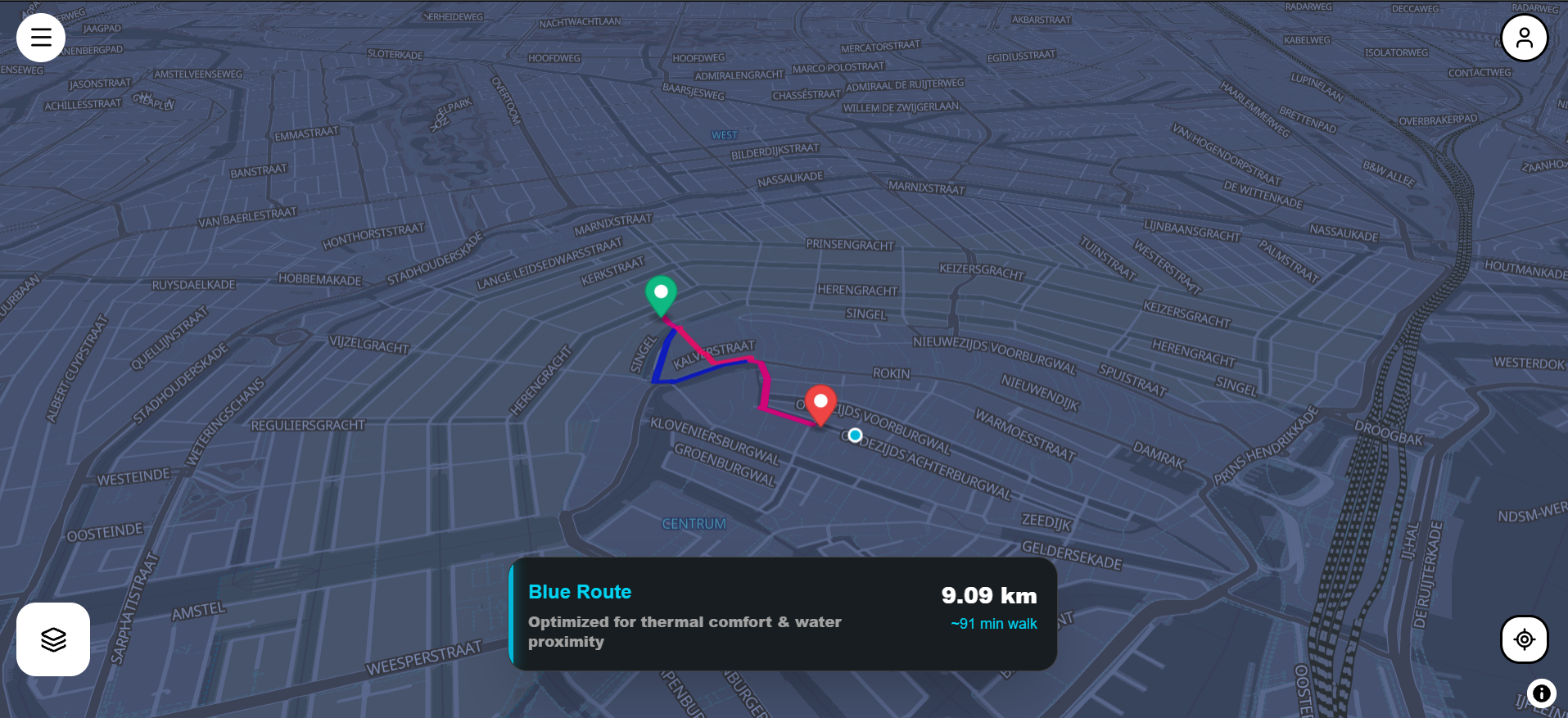
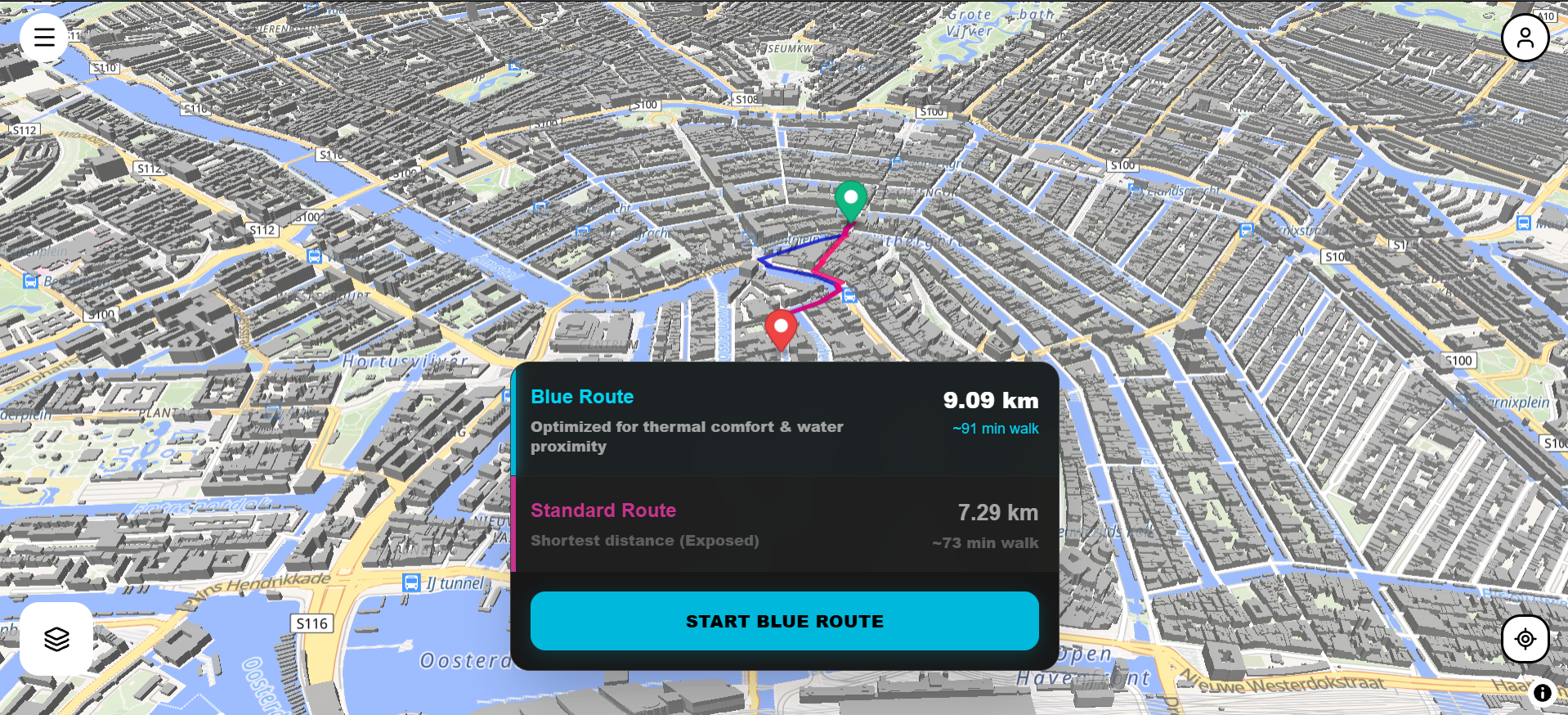
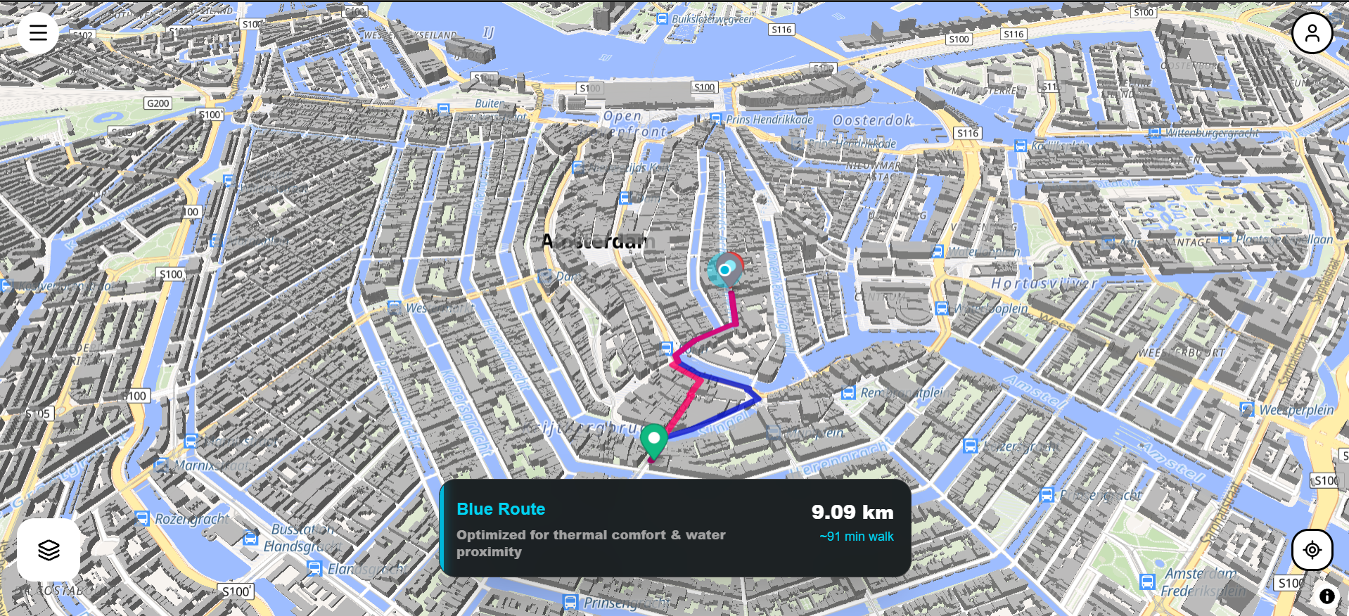
This led us to combine two ideas. The first was Calm Route, where routing is not only about finding the shortest path, but can also consider nearby blue spaces such as rivers, canals, lakes, and streams. The second was Sentinel Grid, where environmental conditions such as rainfall, water features, and temperature can be used to identify areas that may become potential stagnant-water or mosquito-risk zones.
The idea was to create a system where citizens are not just users of a city, but can also become part of its environmental monitoring network.
How We Built It
Blue Sentinel is built as a full-stack application combining geospatial data, environmental data, computer vision, and public-health interoperability.
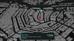
For Calm Route, we use MapLibre and geospatial data to provide an alternative routing experience that considers nearby blue spaces.
For Sentinel Grid, we combine OpenStreetMap data with weather information such as recent rainfall and temperature. The system divides an area into approximately 500m × 500m grid cells and identifies cells containing relevant water or drainage features. A risk score is then calculated using environmental and location-based factors. Cells that cross the risk threshold become Sentinel Nodes.
Citizens can visit these nodes and submit observations about the actual conditions they find. They can report whether water is flowing or stagnant, indicate whether mosquitoes are present, and upload a photograph.
The uploaded image is analyzed using Google Gemini Vision as an additional verification signal. The AI checks whether the image is relevant and helps classify the observed water condition.
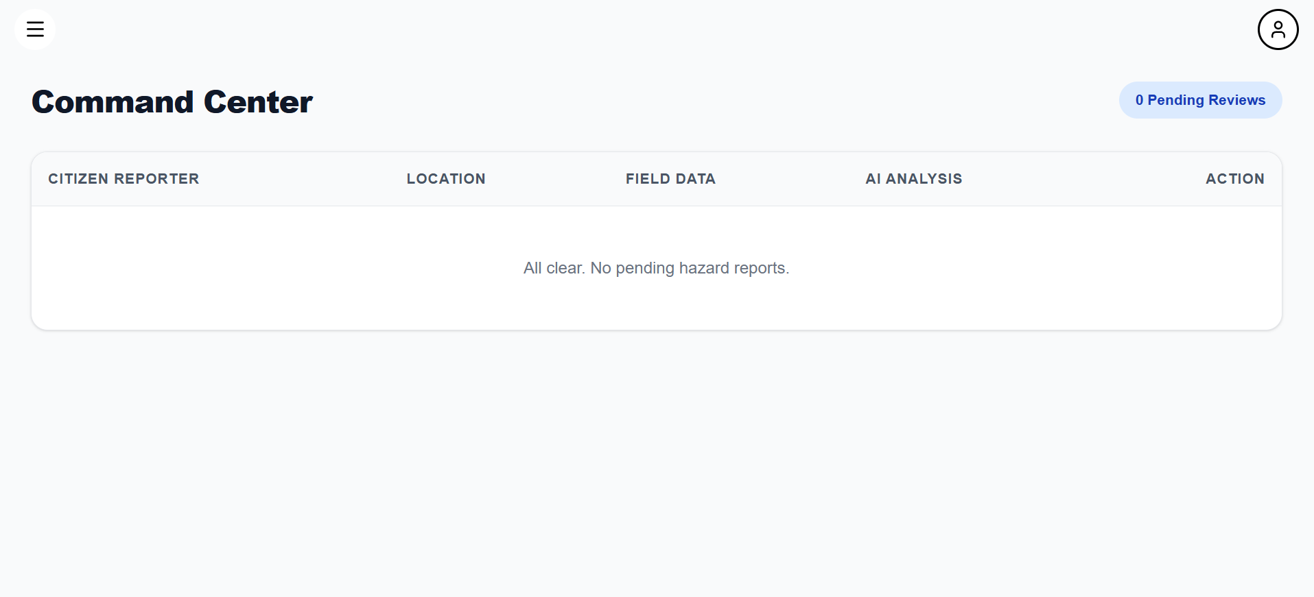
The collected information is then sent to an admin dashboard, where the evidence can be reviewed before being treated as a verified environmental observation. Once approved, the observation can be represented using an HL7 FHIR Observation structure, making the information easier to integrate with public-health systems.
What We Learned
Building BlueSentinel helped us understand how different systems can work together instead of treating them as separate features.
We learned how to work with:
- Geospatial data and OpenStreetMap
- Weather and environmental APIs
- Grid-based spatial risk detection
- MapLibre-based mapping and routing
- Computer vision and multimodal AI
- PostgreSQL and Prisma
- Next.js and FastAPI
- Citizen reporting workflows
- HL7 FHIR interoperability
One of the biggest lessons was that AI should support real-world observations rather than replace them. A prediction from environmental data is only a potential risk. A citizen observation provides ground-level evidence, while admin review provides another layer of validation.
Challenges
One of our main challenges was deciding how to turn environmental data into useful risk locations without generating random or meaningless points. We solved this by connecting risk detection to actual geographic features such as canals, streams, drains, and other water-related locations and aggregating them into grid cells.
Another challenge was designing the verification workflow. We wanted to avoid treating an AI prediction or a citizen-uploaded image as a confirmed public-health event. This led us to separate the process into prediction, citizen verification, AI-assisted analysis, admin review, and resolution.
We also had to deal with integrating several different technologies into one workflow, including Next.js, FastAPI, PostgreSQL, geospatial data, Gemini Vision, MapLibre, and FHIR.
The Result
BlueSentinel connects routing, environmental risk detection, citizen observations, AI-assisted verification, and public-health reporting into one platform.
The core idea is simple:
Detect. Check. Report. Verify. Resolve.
Instead of relying only on centralized monitoring, BlueSentinel creates a feedback loop between environmental data, technology, citizens, and authorities.
Built With
- computervision
- css
- fastapi
- fhir
- geojson
- geospatial
- googlegemini
- maplibre
- next.js
- open-meteo
- openstreetmap
- postgresql
- prisma
- python
- react
- restapi
- tailwind
- typescript


Log in or sign up for Devpost to join the conversation.