Devpost
Participate in our public hackathons
Devpost for Teams
Access your company's private hackathons
Grow your developer ecosystem and promote your platform
Drive innovation, collaboration, and retention within your organization
By use case
Blog
Insights into hackathon planning and participation
Customer stories
Inspiration from peers and other industry leaders
Planning guides
Best practices for planning online and in-person hackathons
Webinars & events
Upcoming events and on-demand recordings
Help desk
Common questions and support documentation
Sort by:
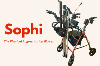
Sophi is an AI-powered walker with an always-on voice agent for Q&A and GPS navigation, plus a linear lift with robotic arms. Built-in features include collision avoidance and fall detection.
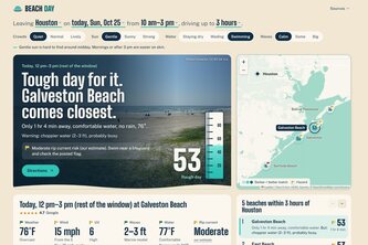
A beach day planner designed to help Texans find the perfect beach for their needs.
Military families on PCS (permanent change of station) orders enter what they like at home and see which areas and places near the new base fit them.
Your beginner beach surf fishing trip, planned with safety in mind.
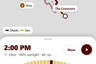
Shade-aware walking routes for Texas A&M, built from LiDAR shadows and live cloud forecasts, with a Night mode that routes by streetlight coverage. Expo + FastAPI app built at Howdy Hacks 2026.
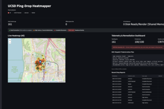
Crowdsourced spatial telemetry mapping university network dead zones in real time to ensure digital equity for all students.
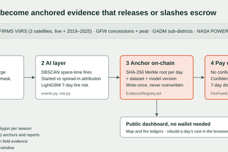
Satellite-verified peat fire evidence anchored on Ethereum, and a smart contract that pays communities only when the satellites confirm their land stayed fire-free.
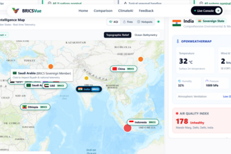
Beyond Borders, Toward a Greener Future
ShadeSignal helps people find nearby shaded places, drinking-water refill spots, and cool indoor spaces on one map, while showing how recently each resource was verified.
Meet PFAS, the forever chemicals. Explore them in 3D, chat with Atom, and play Guesser to predict their presence. A growing priority for the world, and a problem that’s far from solved.
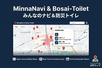
MinnaNavi maps Tokyo’s accessibility and disaster-ready public restrooms. It tracks ticket gate zones, adult changing beds, and post-earthquake utility status in English/Japanese at zero cost today.
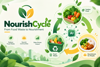
Integrasi Web dan AI untuk Zero Food Waste
An AI salvage scout that finds reusable materials in Nashville homes slated for demolition and routes them to local nonprofits before the bulldozer shows up.
Stay safe, wherever you are.
TurtleGuard blends historical sea turtle data, maps, and AI forecasting to help conservationists prioritize the best locations for beach patrols, lighting outreach, habitat protection, and more.
A board for CSUN students to report on campus or off campus incidents which notices people who can fix it.
PuneSetu connects Pune’s citizens and municipal teams through a multilingual civic platform to report, track, and manage neighbourhood issues transparently.
A hyper-local operating system uniting gated communities: private directory, zero-waste peer exchanges, verified local commerce, and consent-driven security.
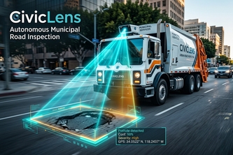
Every garbage truck is a pothole inspector
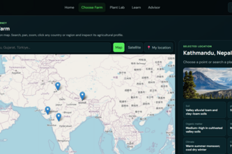
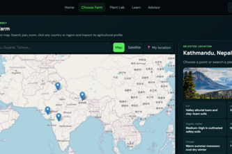
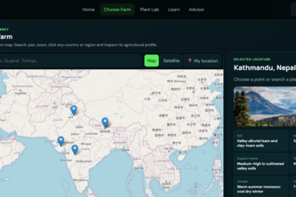
KisanOne helps farmers explore their land, choose suitable crops, understand climate risks, and make smarter farming decisions with AI.
KisanOne turns farming data into interactive decisions—helping farmers explore their land, discover suitable crops, prepare for climate risks, and learn smarter farming.
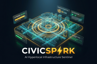
AI-powered hyperlocal infrastructure sentinel solving 311 delays with computer vision triage, predictive decay physics, and automated city council petition dockets.
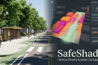
"SafeShade empowers neighbors to turn heat-scorched, dangerous streets into shaded, traffic-calmed corridors with tactical urbanism simulations and auto-generated city petitions."