Devpost
Participate in our public hackathons
Devpost for Teams
Access your company's private hackathons
Grow your developer ecosystem and promote your platform
Drive innovation, collaboration, and retention within your organization
By use case
Blog
Insights into hackathon planning and participation
Customer stories
Inspiration from peers and other industry leaders
Planning guides
Best practices for planning online and in-person hackathons
Webinars & events
Upcoming events and on-demand recordings
Help desk
Common questions and support documentation
Sort by:
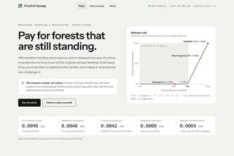
Pay for forests that are still standing: escrowed climate funding released each year by satellite-verified canopy survival, with verifiers who lose their stake if they lie.
Before you sign the lease: a design brief for your café's crowd, where every song, colour and place is a real Qloo result you can check.
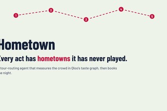
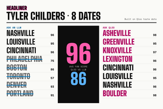
A tour-routing agent with taste. Name an act; it finds the cities whose crowd already over-indexes in Qloo's taste graph, then books the room, the opener, the pre-show spot and the sponsor.
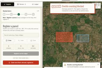
Carbon credits you can verify from space: double counting blocked by smart contract, evidence anyone can recompute, credits that die when the forest does.
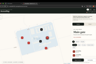
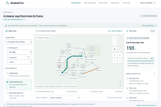
A wheelchair accessibility map of my high school: students see which entrances are blocked, report new barriers, and the school gets a ranked repair list.
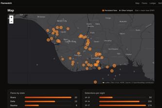
Niger Delta gas flares, seen from space every night by NASA satellites, mapped and recorded write-once on Solana so nobody can quietly edit the record.
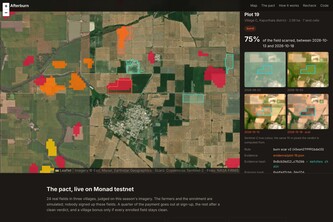
Punjab's fire count fell 90%, burnt area a third: fires moved past the satellite pass. Afterburn reads the burn scar and pays farmers who don't burn, on-chain and rechecked.
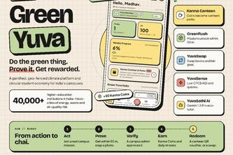
Empowering Youth. Decarbonizing Campuses. One Action at a Time.
Plans an independent restaurant's week from what's happening around it, on NVIDIA Nemotron via Nebius Token Factory, and code checks every cited claim against the sentences it cites.
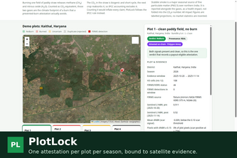
One on-chain attestation per plot per season, bound to satellite evidence, so the same land can never be claimed twice.
Every tonne, proven: from sensor to retirement.
An agent for tour promoters: it routes the tour, picks the opener and finds sponsors from Qloo's taste graph, then shows what a plain LLM would have got wrong.
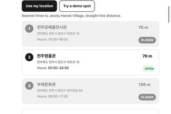
The three nearest public toilets in Korea, and which ones are closed right now. Drag the clock to 10 pm and two of the three go grey.
WildGuard AI turns scattered wildlife news into real-time intelligence using AI, multilingual NLP, risk scoring, and geospatial analysis to detect threats, hotspots, wildlife crime patterns.
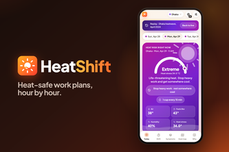
2.4 billion workers face excessive heat. HeatShift turns the forecast into a personal plan: when to work, rest in shade and drink, hour by hour. Free, offline, in 4 languages.
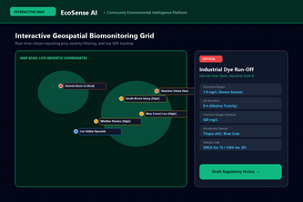
Empowering youth to monitor local ecosystems with AI-driven biological impact diagnostics, quantitative risk scoring, and automated municipal regulatory action.
Type a restaurant. An agent reads who loves it on Qloo's taste graph and returns next week's 3 dishes, an event and a supplier order, with every cited Qloo name and score checked.
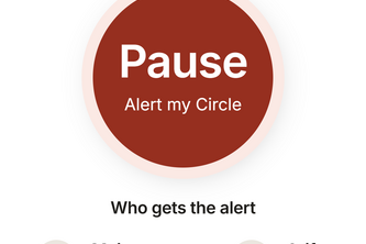
Kampung Watch helps Singaporeans stop scams as they happen: one tap on Pause brings in family and trusted volunteers, so no one faces a scammer alone or in a hurry.
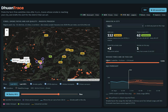
Finds the farm fires satellites miss, traces whose smoke is reaching each city on live wind, and drafts the alert for the district officer who can act.
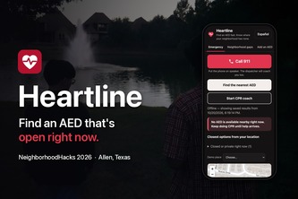
Every AED we found near our street in Allen, TX is locked at night. Heartline finds the nearest AED open right now, coaches CPR, and shows neighbors where a 24/7 AED would help most.
Fake carbon credits cost the climate. Carbon Gauntlet uses an AI verifier and a blockchain registry to stop them before they exist. We unleashed AI cheaters on it. None got through.
Take the path less travelled. Footlore turns real walking routes into a journey of place-based stories, personal discoveries, and field notes — from Lisbon to Jaipur.
Plan walks around mapped stairs and barriers, review access warnings, and report obstacles. AccessPath combines mobility-aware routing, opt-in GPS guidance, and saved journeys.
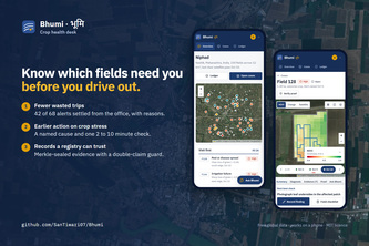
Bhumi uses satellite imagery and weather data to diagnose crop stress, prioritize field visits, and create tamper-evident climate records using blockchain.