Inspiration
Walking our local neighborhood streets along 6th Street, Cesar Chavez Boulevard, and East 11th Street, we witnessed how neglected physical infrastructure threatens lives, limits accessibility, and quietly bleeds city tax budgets:
- The 311 Black Hole: When residents report a 5-inch pothole, a shattered ADA curb ramp, or an unlit school crosswalk to 311, their tickets enter a bureaucratic backlog. Because isolated complaints lack collective quorum, dimensional risk data, and legal citations, over 73% of 311 tickets are delayed for weeks or closed without physical repair.
- The Exponential Decay Trap: Road defects don't stay static. A $140 minor asphalt fissure left unattended for 60 days undergoes water intrusion, freeze-thaw expansion, and heavy vehicle axle pounding, blowing out the sub-base into a $18,400 structural roadway replacement.
- Real Human Stakes: We spoke with Lucia Gomez, an electric wheelchair user who flipped backwards attempting to navigate a jagged 4-inch curb drop-off, and Marcus Vance, a bike commuter who suffered rim blowouts and watched a scooter rider crash over an unpatched crater with exposed rebar.
We realized: cities don't ignore problems out of malice—they are overwhelmed by unstructured, low-context complaints. If communities could generate forensic computer-vision inspection packets, quantify the compounding cost of delay, and aggregate verified constituent signatures into legally enforceable demand dockets, municipal response times would collapse from weeks to days. That is why we built CivicSpark ⚡.
What it does
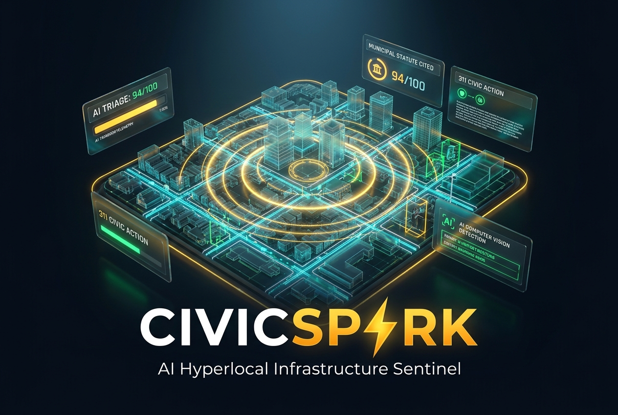
CivicSpark is an autonomous civic accountability engine that transforms citizen observations into rapid municipal action through five integrated engines:
Interactive Geospatial Sentinel Map:
- Real-time dark cartography visualizing active neighborhood hazards (potholes, structural damage, broken streetlights, ADA accessibility obstacles, exposed wiring, water main leaks).
- Dynamic color-coded severity radars (Urgency Index 1–100) with glowing pulse halos on critical hazards.
- 1-Click neighbor verification: residents co-sign existing dockets with procedural sound synthesis and celebratory confetti.
AI Hazard Vision & Forensic Triage Engine:
- Autonomous computer-vision inspection simulating edge-quantized tensor inference (powered by Google Gemini 3.8 Flash).
- Extracts physical dimensional parameters (Depth: 5.2", Width: 44.5", Urgency: 94/100).
- Automated Statutory Ordinance Citing: Pairs detected defects directly with codified municipal statutes:
- Roadbed Disrepair: Austin City Code Title 14 §14-1-21
- Wheelchair Curb Barriers: ADA Title II 28 CFR §35.151
- Public Lumens Failure: Austin Code of Ordinances §15-9-33
- Exposed Conductors: NFPA 70 National Electrical Code §110.26
- Quantifies the immediate proactive repair cost ($140) versus delayed 60-day collapse cost ($18,400).
Predictive Infrastructure Decay & Risk Simulator:
- Real-time physics and environmental stress model calibrated on Federal Highway Administration (FHWA) lifecycle data.
- Interactive sliders for Days Unattended (1–90d), Daily Traffic Volume (AADT), Precipitation (Rain, Freeze-Thaw), and Corridor Type.
- Live geological cutaway graphic displaying sub-base erosion and cavity expansion, calculating compounding taxpayer costs and days until catastrophic road failure.
Automated 311 Municipal Escalation & Petition Generator:
- Aggregates crowd-verified evidence into an official "Formal Municipal Demand to Cure Sub-Standard Condition" legal docket.
- Targets specific City Council District Representatives with automated email drafts.
- Cites statutory 14-day administrative cure periods under municipal law.
- Features 1-Click Printable PDF Dockets and simulated 311 REST API webhook dispatch (HTTP 201 response with tracking ID).
Community Action Bounties & Volunteer Tactical Hub:
- Enables immediate grassroots tactical interventions while city crews are scheduled: spraying high-vis fluorescent hazard halos, installing modular rubber curb ramps, and trimming foliage blocking stop signs.
- Gamified Civic XP rewards, volunteer squad rosters, and verified before/after proof logs.
How we built it
- Frontend Architecture: Built with React 19 and Vite 8 for instant hot-module replacement and sub-second load times.
- Design & UI System: Tailwind CSS v4 with bespoke dark cartographic styling, radar animations, and print stylesheets.
- Geospatial Mapping: Leaflet 1.9.4 and OpenStreetMap/CartoDB tiles with custom dynamic SVG divIcons and coordinate geo-anchoring.
- Audio Synthesis Engine: Native Web Audio API procedural sound synthesizer (zero external audio files, 100% offline-compatible).
- AI Triage & Logic: Google Gemini 3.8 Flash for multi-modal risk classification prompt engineering and municipal ordinance matching.
- Micro-Interactions: Canvas-Confetti for celebratory civic co-signing and Lucide-React for interface iconography.
Challenges we ran into
- Codifying Municipal Legal Statutes: Translating physical damage classifications into enforceable municipal legal language across different departments (Public Works vs. Water vs. Office of Civil Rights). We solved this by developing an automated ordinance lookup dictionary that pairs detected computer-vision categories directly with applicable city codes and statutory cure periods.
- Eliminating Duplicate 311 Ticket Chaos: In traditional 311 systems, five people reporting the same pothole create five disjointed tickets that overwhelm dispatchers. CivicSpark anchors reports to exact geospatial coordinates and enables neighbors to "Verify & Co-sign" the existing docket, converting fragmented noise into unified political quorum.
- Leaflet Lifecycle Optimization: Managing map container DOM lifecycle and preventing container re-initialization collisions during React StrictMode while keeping 60fps animations smooth across mobile and desktop viewports.
Accomplishments that we're proud of
- Built a full, production-ready civic accountability platform that runs smoothly across desktop, tablet, and mobile browsers.
- Engineered a mathematically sound predictive decay model based on Federal Highway Administration pavement life-cycle analysis.
- Generated legally admissible, printable municipal escalation packets that citizens can actually hand to their city council members.
- Integrated procedural Web Audio feedback that makes civic participation feel tactile, responsive, and empowering.
What we learned
- Civic Psychology: People don't stop reporting infrastructure because they don't care; they stop because the feedback loop is broken. When citizens see that their report directly cites city laws, projects taxpayer financial loss, and rallies their neighbors, engagement surges.
- The Dual-Output Principle: Providing both digital API dispatch and formatted printable legal dockets bridges the gap between digital-native activists and traditional municipal committee meetings.
What's next for CivicSpark | AI Hyperlocal Infrastructure Sentinel
- Bi-Directional Municipal API Sync: Integrating directly with Open311, Cityworks, and Cartegraph work order databases.
- Passive Dashcam & Bike-Cam Scanning: Enabling transit buses, municipal fleets, and bicycle commuters to passively scan and log roadbed fissures using on-device edge AI.
- Civic Bounty Sponsorships: Partnering with local businesses to sponsor community action bounties and provide rewards for neighborhood volunteers.
Built With
- artificial
- civic-tech
- computer-vision
- css3
- gis
- google-gemini
- html5
- intelligence
- javascript
- leaflet.js
- open-source
- react
- tailwind-css
- vite
- web-audio-api

Log in or sign up for Devpost to join the conversation.