Devpost
Participate in our public hackathons
Devpost for Teams
Access your company's private hackathons
Grow your developer ecosystem and promote your platform
Drive innovation, collaboration, and retention within your organization
By use case
Blog
Insights into hackathon planning and participation
Customer stories
Inspiration from peers and other industry leaders
Planning guides
Best practices for planning online and in-person hackathons
Webinars & events
Upcoming events and on-demand recordings
Help desk
Common questions and support documentation
Sort by:
When Every Second Matters, LifeLink Connects.
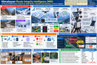
An AI-powered system combining IoT sensors, weather data, drones and GPS to assess Himalayan road hazards, identify high-risk road segments and recommend safer routes for emergency rescue teams.
From Space to Rescue: AI that maps flood damage, finds isolated communities, and guides rescuers through the safest available route in real time.
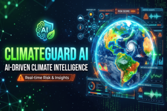
ClimateGuard AI combines weather and environmental APIs with AI to verify data, detect anomalies, predict risks, and provide reliable, real-time climate insights through one platform.
More than eyes. More than a voice. AURA is an AI companion for visually impaired and elderly people that understands surroundings, guides them, and sends SOS when help is needed.
A rapidly deployable communication relay system that restores connectivity in disaster-hit areas when conventional networks fail.
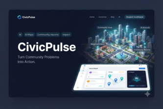
An AI-powered community problem tracker that turns scattered local complaints into verified, prioritized action plans for residents and local organizations.
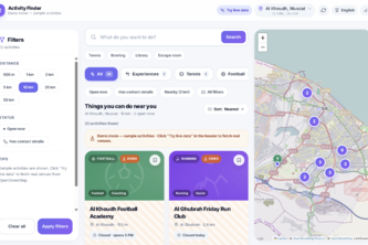
Findly finds real local activities, events, sports, and classes near you, verifies the information, and lets you filter by time open, distance, and category to quickly find something to do
We help residents and city teams turn messy complaints into fast, AI‑powered photo and voice reports, so issues get fixed quicker and trust in local government grows.
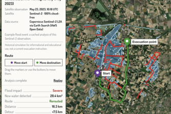
SatRelief turns open Sentinel-2 satellite data into flood-aware evacuation routes for any place and date since 2015: detect the water, block flooded roads, find a safe path.
NIRA is an AI-powered elderly care system that detects potential risks, enables voice-based emergency assistance, monitors safety, and alerts caregivers in real time to help protect lives.
ShareCircle — Turning local needs into real-world help with AI-powered matching.
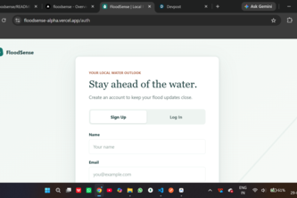
An explainable flood intelligence platform turning complex hydrological telemetry into intuitive risk assessments and life-saving safety checklists.
“Connecting Emergency Reports to the Right Response, Faster.”
Krynket Miles: AI-powered leisure mobility that connects you with verified drivers and vehicles for scenic escapes, spontaneous road trips, and unforgettable journeys.
to provide safe communcation system
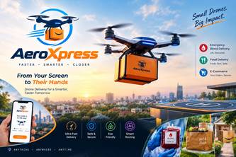
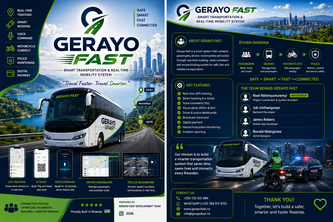
AI-powered logistics that delivers faster, smarter, and beyond the limits of traditional roads
An app that lets users compete with their friends and users across the world individually/via clans in physical endurance fields like running and cycling, encouraging healthy competition among users.
An AI-powered motorcycle companion that combines real-time rider safety, SOS assistance, navigation, vehicle intelligence, community rides, and offline-first ride tracking in one Android app.
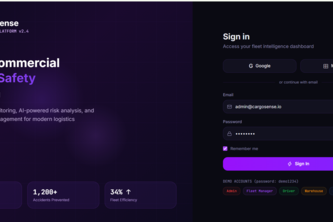
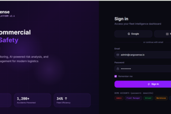
CargoSense helps commercial vehicles prevent load-related accidents by combining real-time cargo monitoring, vehicle sensing and local risk guidance for safer journeys.
A second chance for the connection you almost missed. BeSeen reconnects people who cross paths - without public locations, visible rejection, or endless scrolling.
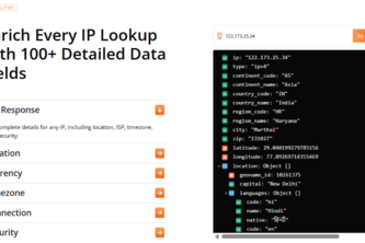
IP geolocation API that turns any IPv4 or IPv6 address into country, city, timezone, currency, and connection data in one REST call.
track. Connect. Stay Safe