-
-
GanaShow
Inspiration
GerayoFast was inspired by the need to make transportation more connected, visible, and safe. Passengers often do not know where their vehicle is, how long they will wait, or how to quickly report an emergency. We wanted to build one platform that connects passengers, drivers, and safety teams in real time.
What it does
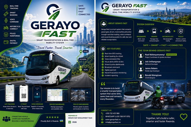
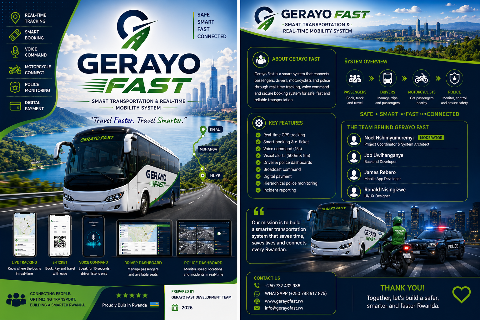
GerayoFast is a real-time transportation and safety platform that connects drivers, passengers, and emergency response teams.
Key features include:
📍 Real-time GPS vehicle tracking on a live map 🚌 Vehicle and driver management 🎥 Live vehicle video streaming 💬 Real-time chat for each vehicle 🚨 SOS emergency alerts with GPS and vehicle information 👮 Police/control-center broadcast and emergency coordination 🗺️ Location filtering by Province, District, and Sector
The goal is to give passengers better visibility while creating a faster way to respond to transportation emergencies.
How we built it
We built GerayoFast as a real-time web platform with a backend responsible for users, drivers, vehicles, GPS locations, emergency alerts, and communication.
The system combines:
Real-time location services and interactive maps Backend APIs and database storage WebRTC for live audio/video communication Real-time messaging Authentication and role-based access SOS and emergency-management workflows A control dashboard for monitoring vehicles and alerts
The architecture is designed so that new transportation and safety features can be added without rebuilding the entire system.
Challenges we ran into
One of our biggest challenges was combining several real-time systems into one reliable platform.
We had to think about:
Keeping vehicle GPS locations updated in real time Handling many vehicles and passengers simultaneously Making live video communication reliable Connecting SOS alerts with accurate vehicle and GPS information Managing permissions for drivers, passengers, and administrators Keeping the system responsive while processing real-time data Accomplishments that we're proud of
We are proud of creating a platform that goes beyond simply displaying transportation information.
GerayoFast brings transport tracking, communication, live streaming, and emergency response together in one system.
We are especially proud of the foundation for real-time GPS tracking and the SOS workflow, because these features can directly improve visibility and coordination during transportation.
What we learned
We learned that building a real-time platform requires more than just creating individual features. The different components need to communicate reliably and be designed around the same data model.
We also learned the importance of:
Designing scalable backend architecture Handling real-time events efficiently Protecting user and location data Building clear interfaces for different user roles Prioritizing safety and reliability alongside new features What's next for GerayoFast
Our next step is to strengthen the real-time transportation network and expand the safety infrastructure.
We plan to:
Improve real-time GPS accuracy and scalability Expand the control-center dashboard Strengthen SOS and emergency response workflows Improve live video reliability Add better route and vehicle analytics Expand notifications and communication Support more transportation operators and users across Rwanda
Built With
- api
- chat
- cloud
- emergency
- firebase
- gps
- javascript
- live
- mapbox
- next.js
- postgresql
- pwa
- react
- real-time
- response
- rest
- sos
- streaming
- transportation
- typescript
- vercel
- webrtc
- websocket


Log in or sign up for Devpost to join the conversation.