Devpost
Participate in our public hackathons
Devpost for Teams
Access your company's private hackathons
Grow your developer ecosystem and promote your platform
Drive innovation, collaboration, and retention within your organization
By use case
Blog
Insights into hackathon planning and participation
Customer stories
Inspiration from peers and other industry leaders
Planning guides
Best practices for planning online and in-person hackathons
Webinars & events
Upcoming events and on-demand recordings
Help desk
Common questions and support documentation
Sort by:
88,400 Singapore seniors live alone, double a decade ago. Our Databricks risk map scores every HDB town on isolation and center coverage, so volunteers reach the neediest neighborhoods first.
House helps Wake County buyers understand how much of a property’s assessed value comes from the land versus the building.
SolarSight helps planners find promising brownfields for solar projects using real geospatial data and Pareto optimization to reveal which sites fit and the tradeoffs between them.
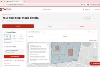
Disaster-aware routing across North Carolina that helps people find a way ahead, even when connectivity fails.
Origen aims to keep South American coffee farmers in the EU market: turning free satellite data into deforestation-free proof. Linking farmers, co-ops and buyers so trade doesn't cost forests.
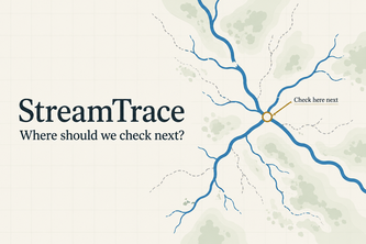
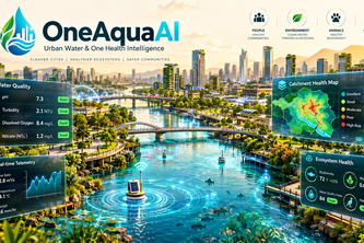
Turn citizen stream observations into reviewed evidence and a clear next check, helping communities and researchers focus freshwater investigations and protect ecosystem health.
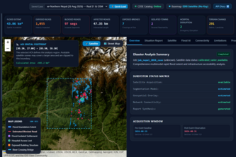
See Floods,Map Impact,Save Lives. AI-powered satellite imagery maps floods and assesses impacts on buildings,roads,and bridges, helping responders make faster,data-driven disaster response decisions.
Forecast the outbreak, not the aftermath.
Mapping Flood Impact from Space: AI-powered flood detection, infrastructure damage assessment, and road connectivity analysis to identify affected areas and isolated communities.
An AI-powered urban ecology compiler that transforms real-world geospatial data and city goals into optimized, visual plans for greener, cooler, more resilient cities.
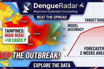
Singapore's dengue caseload swings 12.8x between years, yet vector control only reacts once a cluster forms. DengueRadar forecasts risk 2-4 weeks ahead from open data alone.
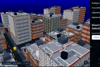
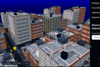
A 3D Cadastral System that transforms LiDAR and survey data into an interactive digital twin, enabling accurate property mapping, ownership visualization, and smarter urban land management.
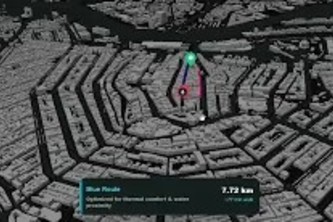
A citizen-powered platform that combines calm routing, environmental risk detection, AI verification, and public-health reporting.
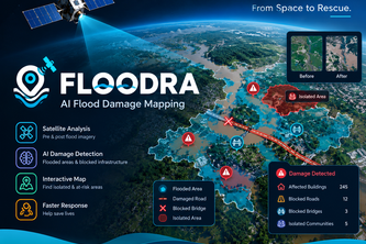
AI-powered satellite analysis that detects flood damage, identifies blocked infrastructure, and maps isolated areas to help rescue teams respond faster. Tagline: “From Space to Rescue.”
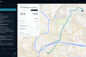
A map-first conversational navigation cockpit pairing LLM reasoning with deterministic MCP routing, arrival deadline math, and private on-device neural voice.
FloodWatch uses satellite data to map flood zones and assess infrastructure risks for faster disaster response.
Empowering cities to turn citizen water observations into early ecological and vector outbreak warnings using fault-tolerant AI and offline-first community surveillance.
Know where your shelter is before you need it.
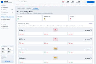
India loses viable organs to delays. HaemoRL tracks every ischaemia clock and uses RL to route each organ to the right patient and hospital.
RESQ is a disaster-ready system that combines hazard data, road networks, and intelligent routing to identify safer routes during floods and landslides with dynamic rerouting and 3D visualization
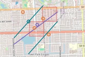
Houston ISD closed schools, causing riskier walks. Walk Check maps your child's new route, shows where to cross safely, and auto-fills HISD and City safety request forms.
Pinetrack turns trains into track inspectors: an onboard sensor checks track health against our proprietary dataset and alerts crews before small defects become costly repairs.
Grid Hazard Rover combines maps, public records, AI, and robotic inspections to detect hazards, reveal project conflicts, and help utility teams work safer and smarter.