Devpost
Participate in our public hackathons
Devpost for Teams
Access your company's private hackathons
Grow your developer ecosystem and promote your platform
Drive innovation, collaboration, and retention within your organization
By use case
Blog
Insights into hackathon planning and participation
Customer stories
Inspiration from peers and other industry leaders
Planning guides
Best practices for planning online and in-person hackathons
Webinars & events
Upcoming events and on-demand recordings
Help desk
Common questions and support documentation
Sort by:
Type any business idea and see where in Southampton it would work, and why: AI that understands your idea, scored on real, open city data.
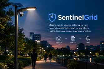
Making public spaces safer by turning unusual events into clear, timely alerts that help people respond when it matters.
Race & Chase is a driving and flying game on a map of the REAL WORLD where you can learn the roads before you go for REAL.
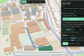
No more sweat in your walk. Take the Shaadiest path.
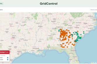
Digital map for viewing power grid company projects and how they overlap geographically or time-wise.
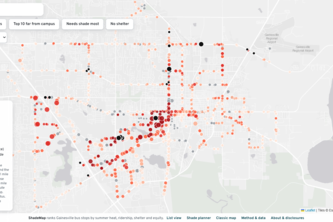
Ranking every Gainesville bus stop by heat, so shade goes where it's needed most.
WaterFlow shows where water goes, highlights flood exposure, and turns the data into clear reports.
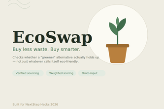
EcoSwap checks if a greener alternative actually holds up - verified certifications, a weighted sustainability score, and photo-based product input, not just whatever calls itself eco-friendly.
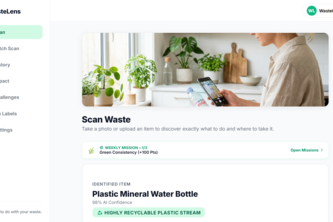
WasteLens uses AI to make recycling easier by telling you what your waste is, how to sort it, and where to take it.
Turn any rooftop into a practical, data-driven solar plan.
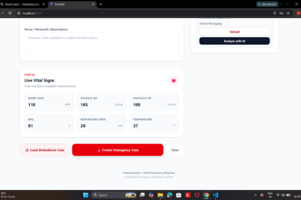
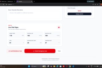
AI-powered emergency coordination connecting patients, ambulances, hospitals & specialists in real time, helping hospitals prepare before patients arrive.
GatherLight uses WebMCP to channel spare human time and skills into peer-reviewed, verified contributions to the open web.
Canopy takes the city's heat and rain and produces a walking route.
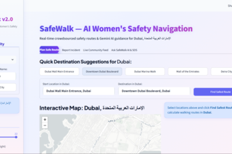
"SafeWalk shows women the safest walking route, not just the fastest — using real-time crowdsourced reports, live safety scores, and AI briefings for any city worldwide."
The definitive, community-verified restroom map for Malaysia - for better accessibility and hygiene.
Bringing static maps to life.
The Map that Gives Back
Discover niche, independent coffee shops & skip the line. Coffee Compass brings mobile ordering to local cafes so you can support artisan roasters with big-chain convenience. Taste local, pay ahead!
Free clinics exist. Finding one that takes your insurance and isn't a 2-hour wait shouldn't require five websites. ClinicFinder shows you in seconds.
The pinnacle of connecting with others.
HeatShield helps residents understand their urban heat risk, find cooling centers nearby, and get a personalized plan to stay safe using free, open data.
A generalized version of the famous travle.earth website. Written in C. Where you must find a path between different regions of the world.
GoU simplifies campus navigation by providing your location, the nearest bus stop, live bus tracking, and the fastest route. It saves students time and improves efficiency on busy campuses daily.