Devpost
Participate in our public hackathons
Devpost for Teams
Access your company's private hackathons
Grow your developer ecosystem and promote your platform
Drive innovation, collaboration, and retention within your organization
By use case
Blog
Insights into hackathon planning and participation
Customer stories
Inspiration from peers and other industry leaders
Planning guides
Best practices for planning online and in-person hackathons
Webinars & events
Upcoming events and on-demand recordings
Help desk
Common questions and support documentation
Sort by:
Navigate safely, not just quickly
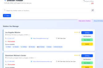
Homefull helps people experiencing homelessness find the nearest shelters, food, jobs, and support; giving every opportunity to become a little less homeless.
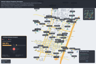
We use celestial collision geometry to forecast vehicle crashes in a self driving distributed network using true uncertainty math. It stays accurate in noisy edge cases, catching all fatalities
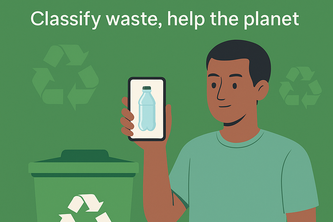
WasteSort is an AI-powered app that classifies waste from images and guides users with recycling centers or disposal tips — making sustainability simple and accessible.
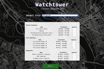
Highlight disaster zones, analyze population & critical infrastructure, and empower under-resourced teams to act fast and save lives in the *crucial* first 24 hours.
An application for planning accessible routes for travelers with special needs. It helps users find points of interest and plan routes that accommodate mobility requirements and personal preferences.
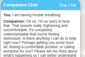
Flash Aid is an AI-powered emergency assistant that delivers instant medical guidance in plain English or your local language. Fast, clear, and accessible—life-saving help, right when you need it.
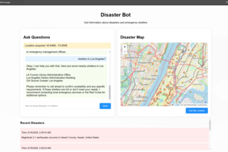
A real-time disaster response simulator.
Careflow solves healthcare access by connecting anyone with healthcare providers.
AI app helps people experiencing homelessness find and save nearby shelters, access needed services, and get real-time bed availability alerts.
Your all-in-one travel companion app: sniff out travel advice, hog the local food and landmarks, translate in real time, and receive danger warnings before they boar you, making trips oink-credible!
Just snap a photo of your plant and get instant help. Cropped AI tells you what’s wrong, how to fix it, and where to find what you need.
PassePartout, your AI-powered travel companion that provides a personalized experience. Your phone is a multilingual local guide - knows your interests, builds the route, and narrates your journey!
Most map apps focus on navigation rather than exploration. Web-Sanpo bridges that gap by helping users explore personalized reviews of any area's accessibility through a walkability-focused lens.
A real-time disaster response system using FastAPI, MongoDB Atlas, and Google Cloud Tools.
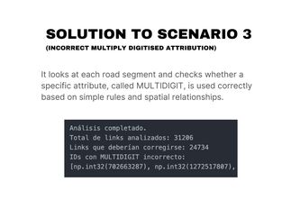
A rule-based system that automatically detects and classifies spatial errors in POIs using geometric analysis and OpenStreetMap validation, improving the accuracy and reliability of urban data.
Recycling and food bank finder
Find Calm in the Chaos.
Ever found yourself stuck on the 401? I have! On my way to see Billie Eilish. Jamming to music in my friend’s dad’s car, and mindlessly following Google Maps to a standstill. Well not anymore!
EvacMap: Digitalizing Accessible Evacuation Routes for Anyone, Anytime.
Your Pet’s Emergency Companion
RizzRadar is an WebApp that gives user suggestions on date spots based on user preference.