Devpost
Participate in our public hackathons
Devpost for Teams
Access your company's private hackathons
Grow your developer ecosystem and promote your platform
Drive innovation, collaboration, and retention within your organization
By use case
Blog
Insights into hackathon planning and participation
Customer stories
Inspiration from peers and other industry leaders
Planning guides
Best practices for planning online and in-person hackathons
Webinars & events
Upcoming events and on-demand recordings
Help desk
Common questions and support documentation
Sort by:
"Smart Navigation, Real-Time Safety."
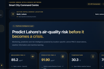
CityPulse Lahore predicts PM2.5 one hour ahead using real air-quality and weather data, turning forecasts into location-based risk alerts and citizen guidance for smarter urban action.
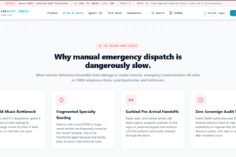
Autonomous AI agents triage patients, match them to the right hospital bed in seconds, and log every decision — no phone calls, no hold music.
offline guider app
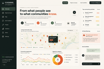
CivicMind uses Gemini to turn community images, voice, and text into actionable intelligence—detecting hotspots, predicting risks, and helping communities prioritize what matters most.
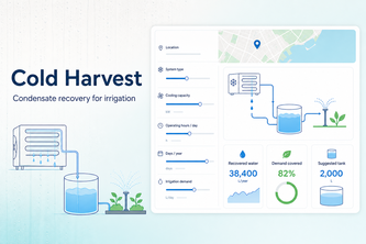
Cold Harvest models a year of local weather to estimate air conditioning condensate, test how much irrigation it can replace, and size the storage tank.
The library's van sits idle on Tuesdays. The food bank needs one. Their agents find the match over A2A, both directors sign, and the ledger becomes grant evidence.
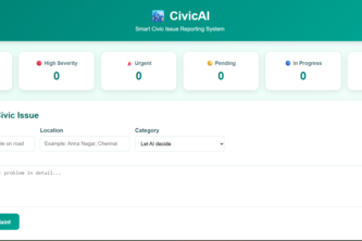
CivicAI is a smart reporting platform bridging citizens and cities. It uses AI to auto-categorize and map local issues like potholes, empowering authorities to track, prioritize, and fix them fast.
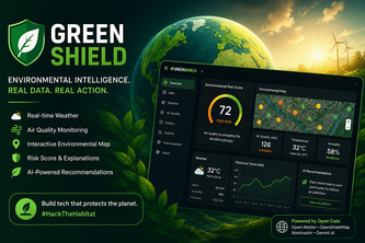
GreenShield turns real environmental data into a simple 0–100 risk score, showing people where climate and air-quality risks are rising and what practical actions they can take.
Build Beyond Limits!!!
Place a Lamp on the real map. Every night it draws glowing spirits out of the streets around it. Walk there to collect them. No streaks, no timers, no pressure.
A Melbourne navigation app that reduces CO2 emissions by making walking easier and helps you cope with heat by routing you through real shade and cooler streets.
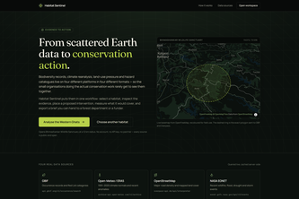
From scattered Earth data to conservation action. Habitat Sentinel turns GBIF, ERA5, OpenStreetMap and NASA data into an explainable conservation priority score — and a measurable plan.
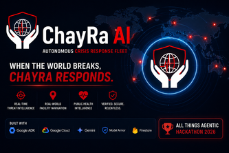
Give ChayRa the crisis. It coordinates a verified response through a governed fleet of autonomous agents, live intelligence, real-world navigation, public-health analysis, and persistent memory.
Canopy takes the city's heat and rain and produces a walking route.
Lahore's air, mapped live across five tehsils. Every reading shows how many people are breathing it, turning a measurement into something a city can act on.
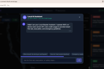
CrisisConnect: Offline-first, AI-powered disaster triage and emergency routing-built to save lives when the grid goes down.
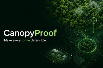
CanopyProof helps forest restoration teams estimate defensible carbon credits using IPCC science, live Earth-risk data, transparent deductions, and integrity evidence—before costly validation.
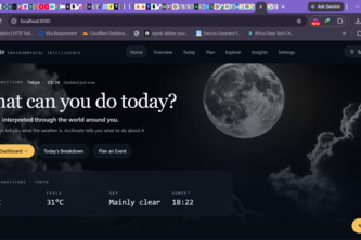
Real-time atmospheric intelligence turned into practical daily decisions.
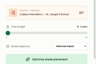
Maps pick the fastest walk; ShadeShift picks the cooler one. It finds pedestrian routes near live weather and mapped greenery worldwide, then plans tree shade for the hottest streets.
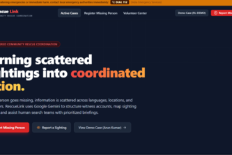
Turning scattered missing-person reports into coordinated rescue action with AI.
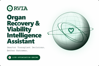
Organ transplants race against time. ORVIA dynamically reassesses disrupted pathways, evaluates hospitals and transport options, and finds the best feasible route forward when every minute matters.
SmartFreight uses AI to compare freight routes based on fuel, traffic, weather, safety, and delivery time, helping logistics teams choose the safest and most efficient route.
AI-powered platform that turns citizen reports into verified, geo-tagged, prioritized civic insights for smarter urban management in Lahore.