Devpost
Participate in our public hackathons
Devpost for Teams
Access your company's private hackathons
Grow your developer ecosystem and promote your platform
Drive innovation, collaboration, and retention within your organization
By use case
Blog
Insights into hackathon planning and participation
Customer stories
Inspiration from peers and other industry leaders
Planning guides
Best practices for planning online and in-person hackathons
Webinars & events
Upcoming events and on-demand recordings
Help desk
Common questions and support documentation
Sort by:
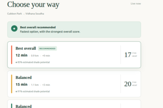
HeatRoute — Compare real walking routes using current weather, estimated shade potential, and travel time to find the coolest reasonable way to your destination.
Lahore has lost most of its trees, and summers now hit 48°C. Chhaon is the planting layer between satellite data and Lahore's streets: pick a spot, get a heat cost, a rank, and the right tree.
AI-Powered Municipal Document Intelligence & Spatial Policy Mapping
A citizen-science map that turns scattered wildlife road-crossing and collision reports into ranked hotspots and exportable, plain-language mitigation recommendations.
Interactive map of all 5,256 almond orchards in Merced County with soil, water district, tree age, and parcel line data. Works on phone or web, offline in no-signal areas, with GPS guidance and notes.
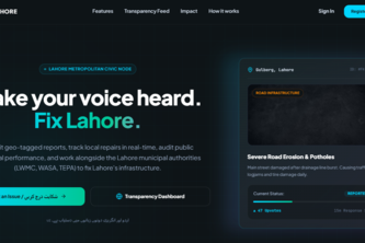
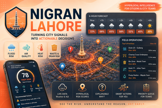
Turning Lahore's scattered open data into one live, predictive, citizen-facing city view — air quality forecasts, verified reports, a neighbourhood digital twin, and bilingual SMS alerts for all.
Turning data into protection - Real-time conservation risk dashboards for protected areas — starting with Kaziranga. Live data, AI briefings, role-based access
SuthraSense: Citizen verified waste collection, offline field logistics, and AI-powered pollution intelligence for a cleaner Punjab.
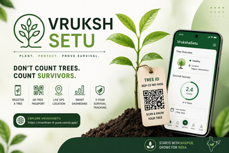
VrukshaSetu gives every planted tree a digital identity using live GPS, camera and QR, then tracks its health and survival for 3 years—turning plantation into measurable impact.
Originally created as a simple side project during a hackathon to test APIs, it grew into one of the most widely used API development and testing platforms in the world.
See the Risk. Understand the Reason. Act Early.
Compare restaurant options with evidence, then decide together.
A gamified daily habit app that turns real nature actions into a streak, an in-app currency, and a virtual garden that grows over real days.
Which patch of green near you is actually worth walking to? Canopy pulls real parks from OpenStreetMap, tracks whether going there changes anything for you, and tells you when it can't tell.
Turn the food you already have into meals, prevent waste, and share surplus with your community.
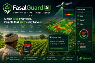
FasalGuard AI uses Gemini, satellite data, weather, and crop images to detect farm risks, recommend actions, alert farmers, and track crop health from planting to harvest.
Turn satellite Earth observation data into active reforestation plans — analyzing forest damage, computing sapling budgets, and connecting local conservation partners in seconds.
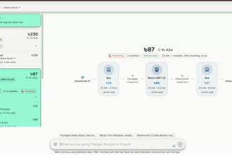
Google Maps shows you the fastest way. Poth shows you that bus to Farmgate then metro saves ৳143 — mixed-mode journeys across Dhaka, priced in taka, ranked by money, time and comfort.
An AI-powered nature prescriptions tool connecting your mental state to live sunlight, weather, and green spaces.
Canopy finds nearby nature breaks that fit your time, comfort, and access needs using live conditions and trusted local park data.
Civic Ledger — what your city council decided, in plain language. Every vote, every dollar, every meeting, pulled from the public record and explained, with links back to the source.
Every call agent starts from a list somebody already had. QuoteRunner decides who is worth calling from open data, calls them through CALL-E, and puts what they said in one price table.
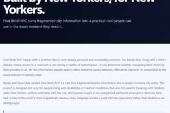
Find Relief NYC turns NYC public data into fast, accessible restroom and amenity access—helping people with urgent needs, disabilities, families, and everyday New Yorkers navigate with confidence.
Leverage NYC's open property data into an early-warning system for deed theft, helping city officials protect at-risk homeowners while giving residents free home-history and tax-exemption tools.