-
-
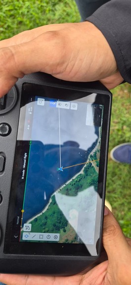
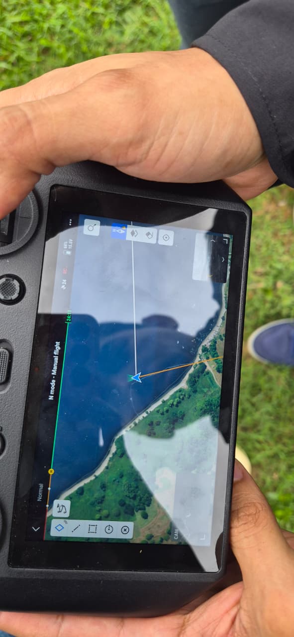
A drone controller displays the survey area, supporting flight planning for aerial image collection.
-
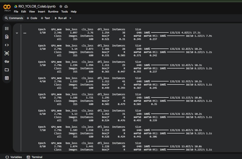
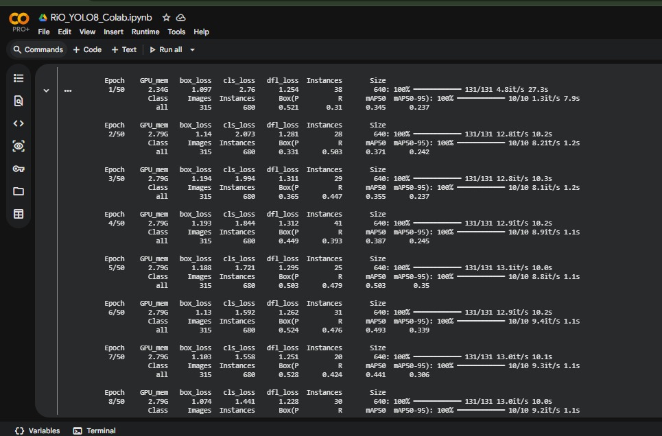
Training a YOLOv8 computer vision model in Google Colab to detect litter in environmental images.
-
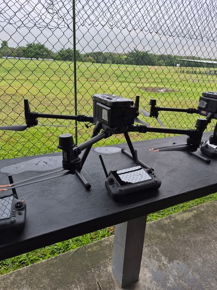
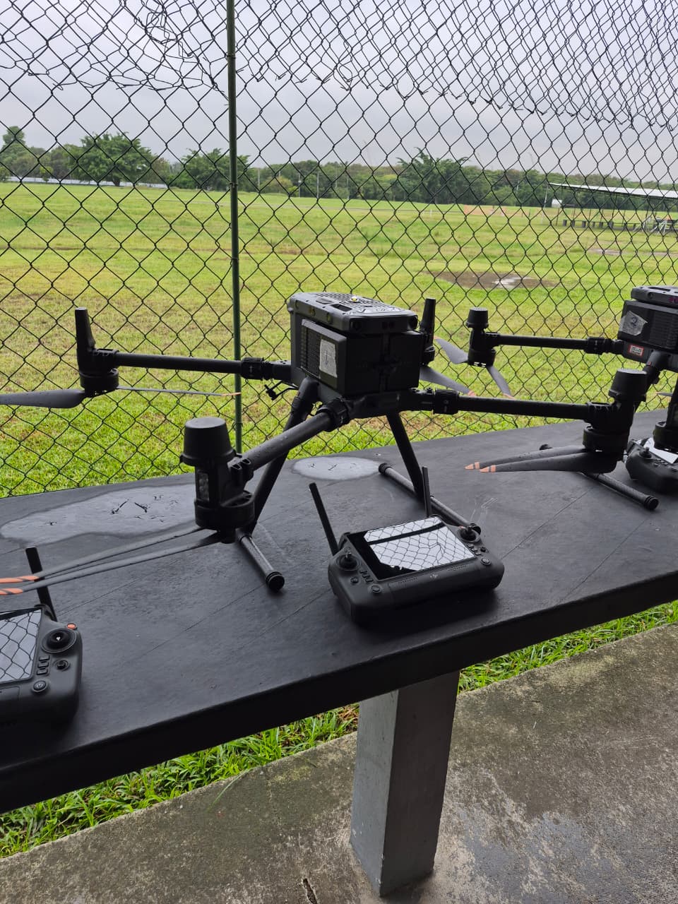
Drones and controllers prepared for fieldwork and aerial environmental observation.
-
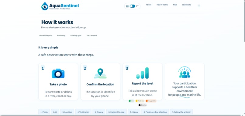
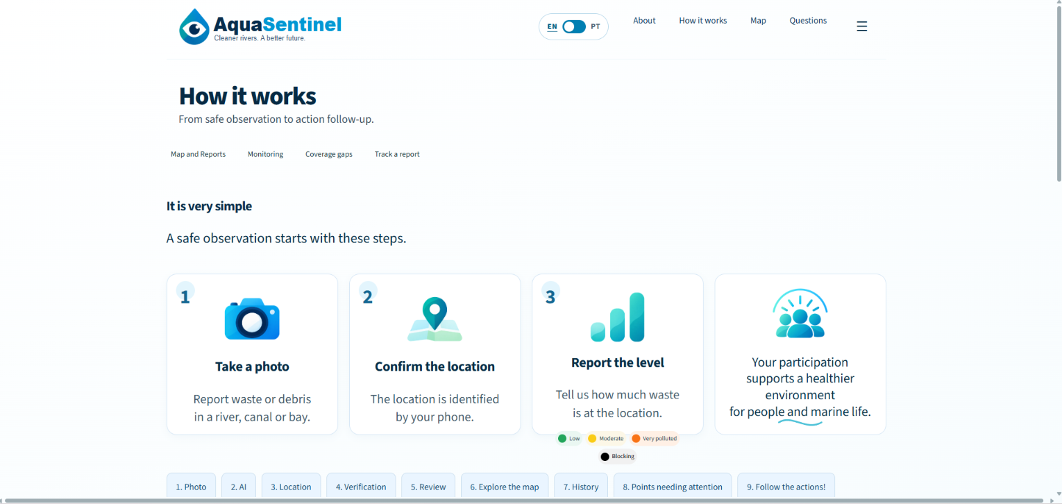
Take a photo, confirm the location, and report the litter level. Simple steps toward cleaner waterways.
-
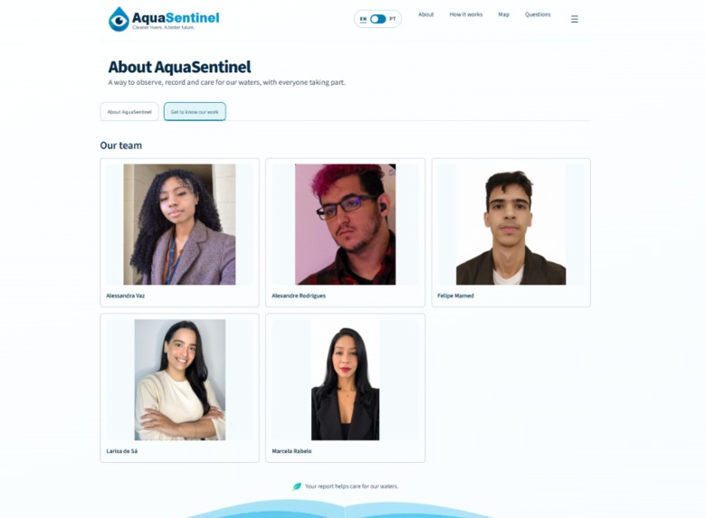
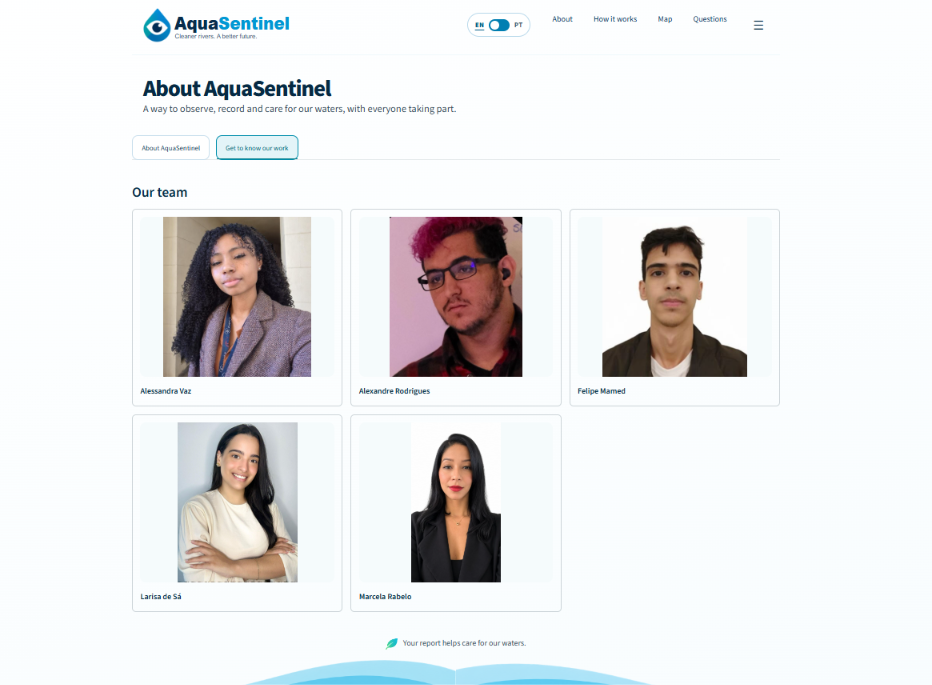
Meet the team behind AquaSentinel, developed for the OneAquaHealth Hackathon.
-
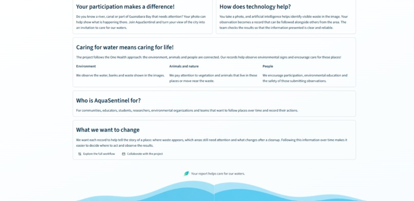
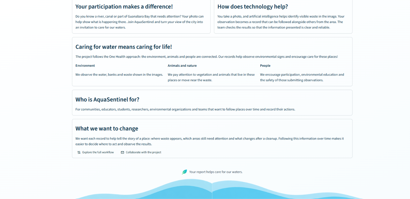
Our One Health approach connects care for waterways with the well-being of people, animals, and ecosystems.
-
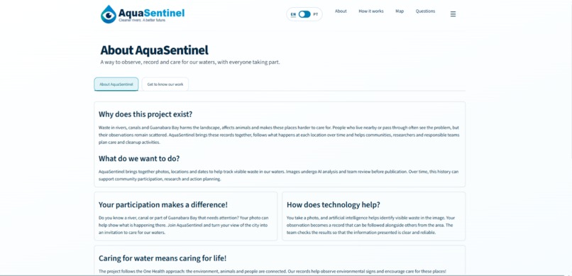
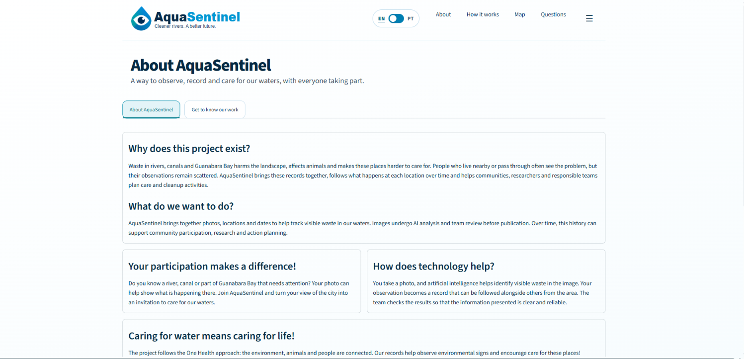
Discover how AquaSentinel connects community participation and technology to monitor litter in urban waterways.
-
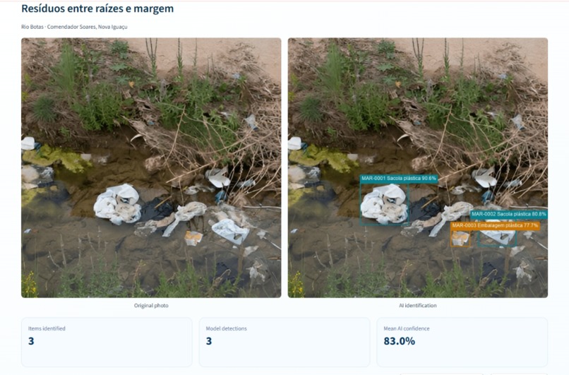
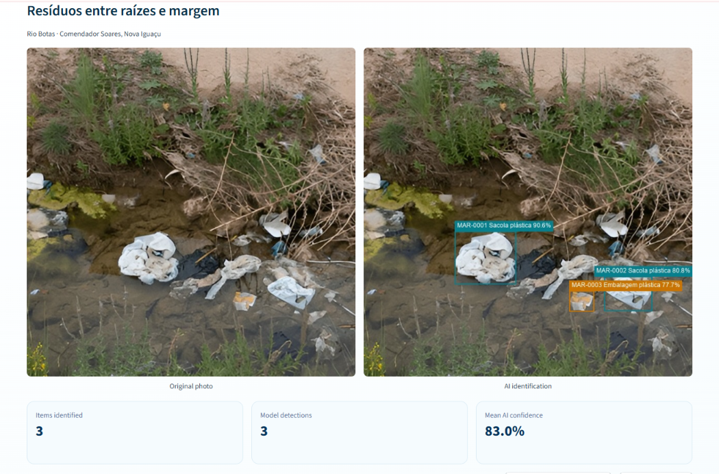
AI identifies plastic litter along the riverbank, displaying detected items and confidence scores.
-
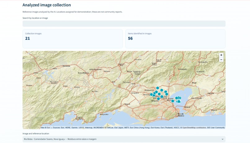
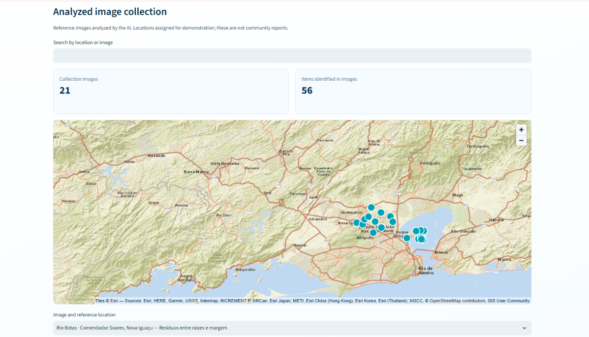
Explore AI-analyzed reference images on a map, with locations assigned for demonstration.
-
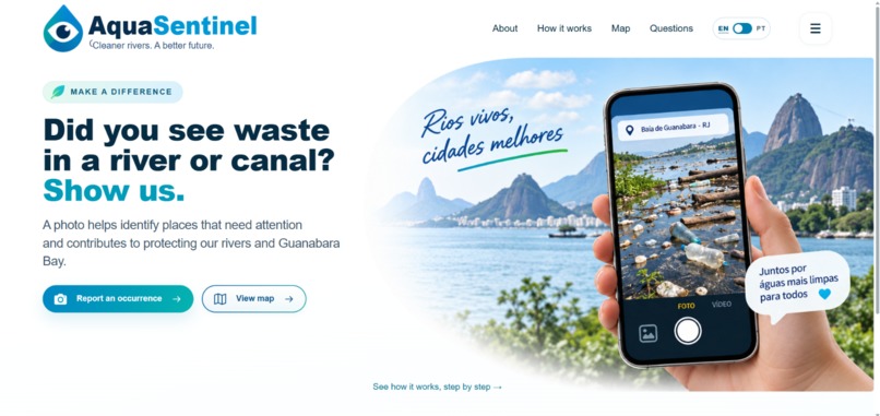
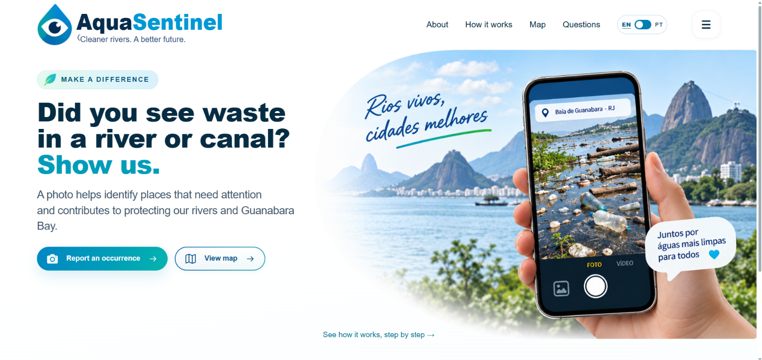
AquaSentinel turns community photos into reports to help monitor litter in rivers, canals, and Guanabara Bay.
Inspiration
Rio de Janeiro is a city deeply connected to water — but also historically challenged by what happens when urban growth, waste, sanitation, rainfall, rivers, and drainage systems collide. The Guanabara Bay watershed is a particularly complex example. Urban rivers and channels carry not only water, but also solid waste and pollutants toward the bay. During periods of intense rainfall, this problem can become even more visible: in January 2026 alone, environmental barriers operated by Rio de Janeiro's environmental agency retained more than 586 tons of waste before it reached Guanabara Bay. In 2025, these barriers retained more than 7,300 tons. This is not only an environmental problem. Poor sanitation and polluted urban waters can also affect human health, while accumulated waste and sediment can interfere with water flow and contribute to problems in drainage systems. Public environmental programs in Rio de Janeiro explicitly connect river cleaning and improved water flow with the prevention or reduction of flooding impacts. And that reality inspired AquaSentinel. Our initial question was simple: What if citizens and institutions could help identify where waste is accumulating in urban waters — using something as simple as an image? From that question, AquaSentinel evolved into a collaborative environmental monitoring platform designed to transform photographs into georeferenced environmental observations. Instead of waiting for isolated reports to become actionable information, we wanted to create a bridge between citizen participation, institutional monitoring, artificial intelligence, geolocation, and environmental decision-making. And Guanabara Bay became our starting point.
What it does
AquaSentinel turns images of urban aquatic environments into structured, georeferenced information about visible waste. A citizen who encounters waste in a river, canal, shoreline, or other urban water environment can photograph the situation and submit the image through the platform. The system associates the observation with its location and uses computer vision to support the identification of visible waste. But AquaSentinel was deliberately designed around an important principle: AI supports environmental monitoring — it does not replace environmental judgment. During development, we realized that model confidence cannot be interpreted as absolute certainty. Different lighting conditions, distances, camera angles and image quality can all influence computer-vision results. The platform therefore organizes the information so observations can be reviewed, authorized and transformed into meaningful records before publication. Validated observations can then appear on a map, allowing users to visualize where waste has been reported and identify areas with repeated observations. This creates a pathway from: Image → AI-assisted detection → geolocation → validation → map → hotspot → action. AquaSentinel was also designed for more than individual citizen reports. Institutions, researchers and environmental teams can upload images collected during field monitoring — including images obtained by drones — expanding the spatial coverage of observations. During our prototype development, drone imagery was collected specifically to help construct a dataset representative of real-world conditions. Flight telemetry from KML/KMZ files was also analyzed so images could be associated with geographic coordinates. This means AquaSentinel can connect citizen science and institutional environmental monitoring within the same ecosystem.
How we built it
Building AquaSentinel required us to combine several technologies that initially existed as independent components. The system brings together: computer vision and artificial intelligence; web development; image upload and processing; geolocation; databases; georeferenced environmental records; interactive mapping; data validation; drone imagery and GPS telemetry; and environmental information. One of our biggest technical lessons was that creating a working AI model was only one part of the problem. The real challenge was turning separate modules into an integrated application. As development progressed, we had to define how the frontend, backend, AI model, database, geolocation system and map would communicate without changes in one component breaking another. We also worked with version control, repository organization, deployment architecture and data persistence. For the computer-vision component, we combined images collected by our team with research into publicly available datasets. Drone operations were used to obtain images under different angles, distances, lighting conditions and environmental situations. This showed us first-hand that dataset diversity is essential if an AI system is expected to operate outside controlled conditions. We also investigated publicly available waste-detection datasets, including approaches based on semantic segmentation, which can identify the regions of an image corresponding to waste rather than simply indicating whether waste is present. On the environmental side, we investigated information from public institutions and discovered another important layer of the problem: environmental data exists, but it is highly fragmented. Datasets may use different geographic references, sampling points, file formats and update frequencies. Water-quality measurements are also frequently based on field campaigns and laboratory analyses rather than continuous real-time sensors. That discovery strongly influenced what AquaSentinel became — and what we decided it should not claim to do.
Challenges we ran into
Our biggest challenge was not a single technology. It was integration. Building one system from many components Different members of the team worked on the frontend, backend, AI, database, environmental research and user flow. Integrating code produced by different people at different moments required disciplined use of Git and GitHub, development branches and careful integration into the main application. Connecting AI to a usable interface It was not enough for the model to process an image. Users needed to understand what was happening. We repeatedly redesigned parts of the interface to simplify image submission, location information, waste classification and the presentation of results. One of our most important lessons was that a technically functional system is not necessarily an understandable system. Real-world images are messy Images captured outdoors are fundamentally different from controlled datasets. Lighting changes. Distances change. Waste may be partially submerged. Objects overlap. Camera quality varies. Our drone data collection reinforced how important it is to obtain images under multiple environmental conditions rather than relying on a narrow dataset. Drone operations involve more than flying Because part of our collection area was close to Rio de Janeiro/Galeão International Airport, drone operations required prior planning and compliance with Brazilian aviation requirements, including authorization through the relevant airspace system. Environmental data was more fragmented than expected This became one of our most important discoveries. We investigated hydrological, water-quality and environmental datasets hoping to integrate them directly into the platform. Instead, we encountered information distributed across spreadsheets, maps, reports and portals; different geographic standards; different sampling frequencies; and datasets updated on very different schedules. The INEA portal itself, for example, provides Guanabara Bay water-quality bulletins and historical datasets, but these are periodic monitoring products rather than a single continuous real-time water-quality feed. This limitation changed our MVP. Rather than pretending that historical or periodically collected environmental measurements represented the condition of the water right now, we decided to clearly separate what AquaSentinel can observe from what future integrations may allow it to infer.
Accomplishments that we're proud of
We are proud that AquaSentinel evolved from an idea about detecting trash into a functional environmental monitoring ecosystem. We built a platform capable of connecting images, artificial intelligence, geographic information, structured records and maps in a workflow that can be understood not only by technical users, but also by citizens. We also created two complementary pathways for environmental observation: citizen participation, where people can contribute observations using their phones, and institutional monitoring, where larger-scale image collection — including drone imagery — can feed the same monitoring logic. Another accomplishment was learning when not to automate. Instead of presenting AI predictions as environmental truth, we designed the system around traceability, confidence, validation and responsible publication. During development, we learned that environmental decision-support systems must consider not only model performance but also data provenance, consent, duplicated observations, location, persistence, security and transparency about limitations. Most importantly, we transformed a complex environmental problem into something people can interact with: See it. Photograph it. Map it. Understand it. Act on it.
What we learned
AquaSentinel taught us that environmental innovation happens at the intersection of disciplines. We learned about computer vision, AI integration, web development, databases, cloud deployment, geolocation, drone operations, GPS telemetry and collaborative software development. But we also learned something more fundamental: Environmental data needs context. A photograph showing large amounts of waste does not necessarily indicate the worst physicochemical water condition at that exact moment. Conversely, water that appears visually clean may still contain organic contamination, nutrients or microorganisms. We therefore learned to distinguish between what we can see, what we can measure, and what we can conclude. We also learned the importance of metadata and traceability. Environmental observations become much more useful when they preserve information such as geographic coordinates, collection date, source, measurement method and update date. Without that context, information collected at different locations or periods can easily be misinterpreted. Perhaps our biggest lesson was that the purpose of AquaSentinel should not be to produce an absolute statement about environmental conditions. Its purpose is to connect evidence and make it actionable. That can mean identifying places that deserve inspection, helping prioritize cleanup, revealing recurring waste hotspots, guiding future sampling and making environmental information easier for citizens and institutions to understand.
What's next for AquaSentinel
Today, AquaSentinel's MVP focuses primarily on visible solid waste in urban aquatic environments. But this is only the first layer. Our long-term vision is to transform AquaSentinel from a waste-monitoring platform into a broader urban water intelligence and early-warning ecosystem. The next step is to combine visual observations with other environmental layers, including: climate and rainfall data + river and water-level data + water-quality data + geospatial information + historical observations + AI-assisted image analysis. During this hackathon, we explored several of these integrations. However, we could not identify sufficiently consistent, frequently updated — or real-time — river and water-quality datasets for all the variables and locations required by the system. Rather than hiding this limitation, we see it as part of the roadmap. Future integrations with reliable sensors, monitoring networks, APIs and institutional databases could allow AquaSentinel to investigate relationships between rainfall, river conditions, waste accumulation and water quality. This could expand the platform toward two major applications. The first is flood-risk intelligence. Waste accumulation can be combined with rainfall, hydrological and drainage information to help identify areas requiring attention. The goal would not be to claim that visible waste alone predicts a flood, but to use it as one additional layer in a multi-source risk-assessment system. The second is human-health risk intelligence. Visual evidence could eventually be combined with reliable water-quality measurements and environmental context to identify areas where additional investigation or public-health attention may be necessary. This distinction matters because visual appearance alone cannot establish microbiological or chemical safety. Ultimately, we envision AquaSentinel evolving from: “Where is the waste?” to: “What is happening to this urban water system — and where should we look first?” Guanabara Bay is our starting point. But polluted waterways, extreme rainfall, inadequate waste disposal, limited environmental monitoring and fragmented data are not problems unique to Rio de Janeiro. Our goal is therefore to build AquaSentinel as a model that can eventually be adapted to other urban freshwater aquatic environments — connecting people, artificial intelligence and environmental data to turn observations into action.
Built With
- ai
- citizen-science
- computer-vision
- data-visualization
- docker
- environmental-monitoring
- geospatial-data
- git
- github
- google-cloud-run
- gps
- human-in-the-loop
- machine-learning
- one-health
- open-data
- open-meteo
- openstreetmap
- photon
- postgresql
- python
- rest-api
- sqlite
- streamlit
- viacep
- yolo


Log in or sign up for Devpost to join the conversation.