Inspiration## Inspiration
Floods can damage roads, buildings, and critical infrastructure while isolating entire settlements. I wanted to explore how satellite imagery and AI could help emergency responders understand flood impacts and identify areas that may need urgent attention.
What It Does
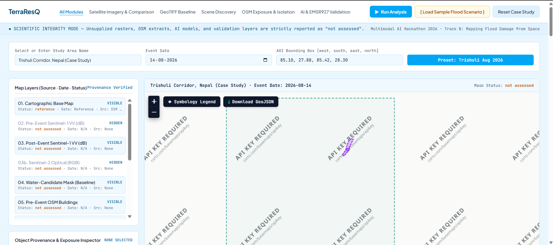
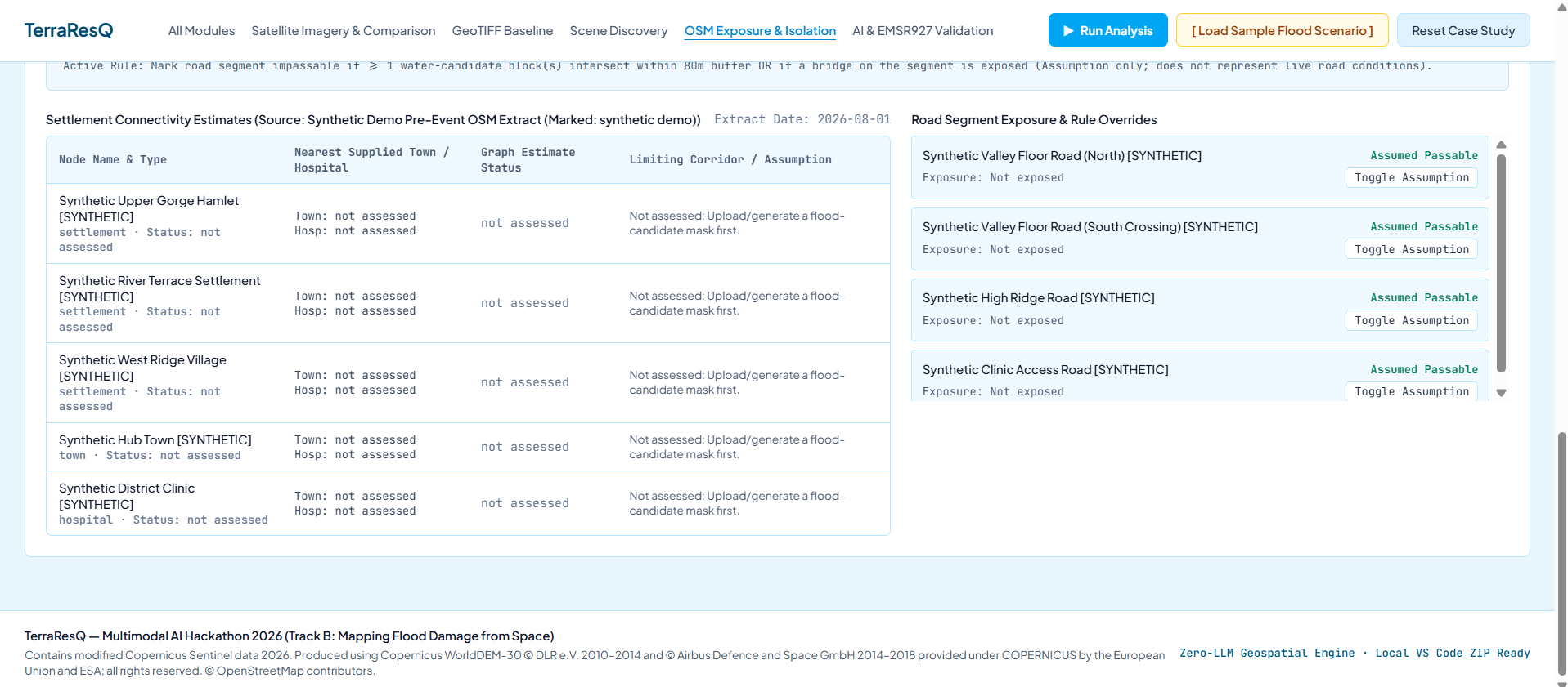
TerraResQ — Satellite Intelligence for Flood Response is a geospatial AI platform designed to map flood-affected areas, estimate potential infrastructure impacts, and identify settlements that may be disconnected due to damaged road networks.
How I Built It
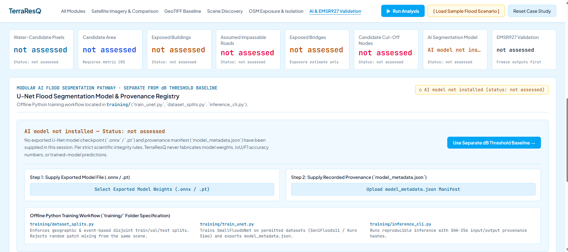
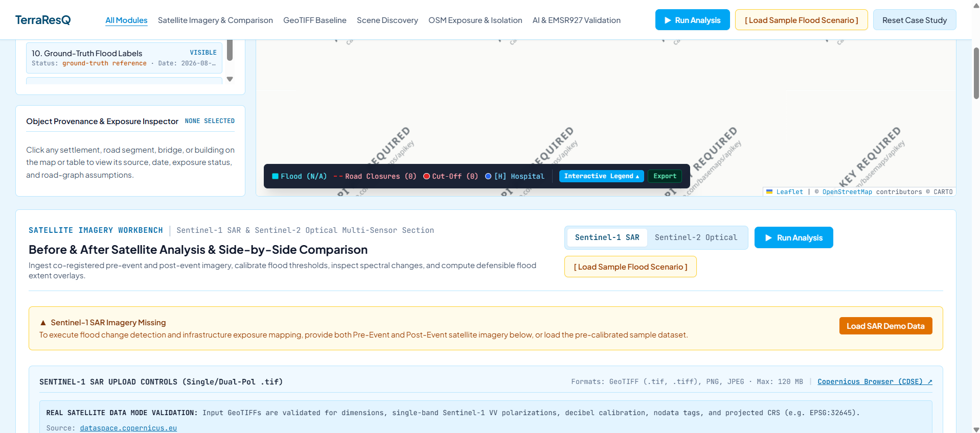
I designed TerraResQ around satellite imagery, flood segmentation, geospatial mapping, OpenStreetMap infrastructure data, and road-network connectivity analysis. The platform is intended to combine these components into an interactive dashboard with maps and situation reports.
Challenges I Faced
One of the biggest challenges was bringing satellite imagery, AI-based flood detection, and road-network analysis together into a single workflow. Working with geospatial data and distinguishing a working prototype from reliable real-world predictions also required careful attention.
What I Learned
This project helped me explore the role of AI, computer vision, and geospatial technologies in disaster response. I also learned the importance of data quality, transparent confidence estimates, and clearly communicating model limitations.
Future Scope
I aim to improve TerraResQ by integrating real Sentinel-1 and Sentinel-2 imagery, evaluating flood segmentation on unseen scenes, and improving infrastructure impact and settlement connectivity analysis to support more informed emergency planning.
What it does
How we built it
Challenges we ran into
Accomplishments that we're proud of
What we learned
What's next for TerraResQ
Built With
- analysis
- artificial
- computer
- copy
- data
- express.js
- geospatial
- gis
- imagery
- intelligence
- learning
- machine
- node.js
- openstreetmap
- python
- react
- remote
- satellite
- sensing
- typescript
- vision
- vite

Log in or sign up for Devpost to join the conversation.