Devpost
Participate in our public hackathons
Devpost for Teams
Access your company's private hackathons
Grow your developer ecosystem and promote your platform
Drive innovation, collaboration, and retention within your organization
By use case
Blog
Insights into hackathon planning and participation
Customer stories
Inspiration from peers and other industry leaders
Planning guides
Best practices for planning online and in-person hackathons
Webinars & events
Upcoming events and on-demand recordings
Help desk
Common questions and support documentation
Sort by:
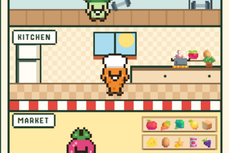
A private chef, nutricionist and shopper at your fingertips. Ready to make the process of eating cheap healthy food as easy as possible
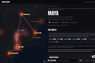
Plan a tour before you have listeners there. Tour Scout uses Qloo's taste graph to find an indie act's fans, rooms, openers and booker pitches, then an agent checks the route.
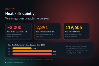
ShadeNet turns live weather data and open maps into a heat shield for your block: a personal risk score, the nearest cool refuge, and a buddy who is alerted if you go quiet.
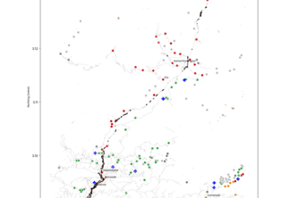
Raw satellite data to who’s cut off, in an hour: flood damage mapping for the Himalayas.
Check your ride in one tap: location and route ratings based on reported transit incidents in Hyderabad.
Lost in a UCF building? Point your phone, pick a room, and follow a glowing AR path on the floor to the door. Doorway finds you from walls and room signs, fully offline.
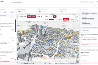
A disaster management system leveraging 3D city physics and multi agent AI to synthesize incoming casualty reports, plan optimal dispatch routes, and score situational awareness against ground truth.
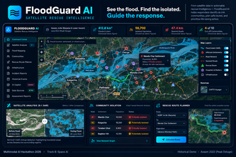
Turning satellite imagery into life-saving intelligence. FloodGuard AI detects floods, identifies isolated communities, and helps rescue teams prioritize emergency response.
Every map app picks the fastest route, Buddy Walk gives you the safest one
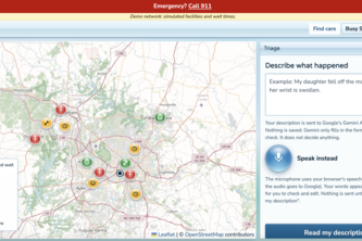
AI-assisted healthcare routing that matches patients with appropriate care based on injury type, facility capabilities, and simulated wait times.
Shoulder Watch is AI that watches Georgia’s 3,700 public traffic cameras, spots stalled cars before they’re reported, and texts drivers via iMessage so they can move over safely.
Find your Carolina community—swipe through campus events, connect with clubs, and plan your next adventure.
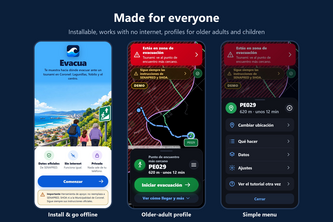
Offline tsunami evacuation map for Coronel, Chile: official SENAPRED data, the shortest walking route to safety and turn-by-turn voice directions. Works with no internet.
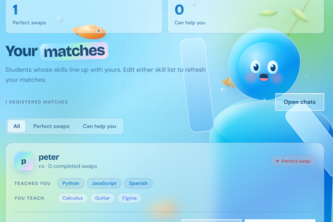
Connection. Synergy. Learning
Nion, a voice companion built for ears. It lets travelers consume information and organize tasks without looking at their screen.
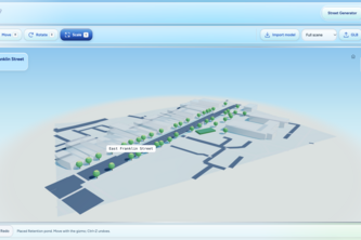
Civil engineers and planners can redesign infrastructure, explore environmental risks, and use an AI design agent to generate evidence-backed sustainability recommendations.
Batman is an iMessage contact that watches your back when you meet a stranger. It checks in quietly and alerts the friend you chose if you go silent. Secret code words get you out. No app needed.
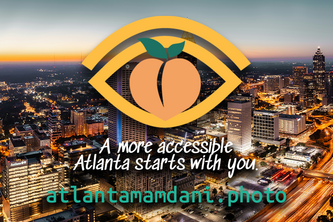
See a pothole, broken sidewalk, or any city issue but unsure where to report it? Snap a photo. AVision's AI identifies the problem, finds the right Atlanta agency, and drafts the report in seconds.
Crash detection for scooters, bikes, wheelchairs, walking, and cars. If you can't respond, Crashline alerts your people automatically and texts them from your own phone.
Hestia is the only true way to find the 1.9 billion people who still need reliable healthcare around the world.
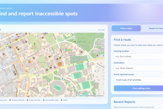
Have you ever tried getting somewhere on campus only to find your path blocked? With Walkable Heels, you can plan your path ahead of time and warn others about roadblocks.
Synesthesia uses AI to transform photos, locations, and real-world experiences into personalized music playlists, connecting users with the sounds, places, and memories that shape their lives.
Google Maps finds the fastest way. NorthStar finds the way you’ll actually get there safely. We score every Bay Area block for how you travel and when, then reroute around danger in seconds.
Predict, detect, report, respond. One system that sees campus floods coming and gets every student, including those who can’t read a map, to safety.