-
-
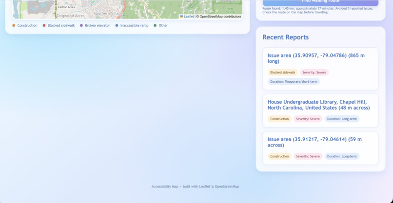
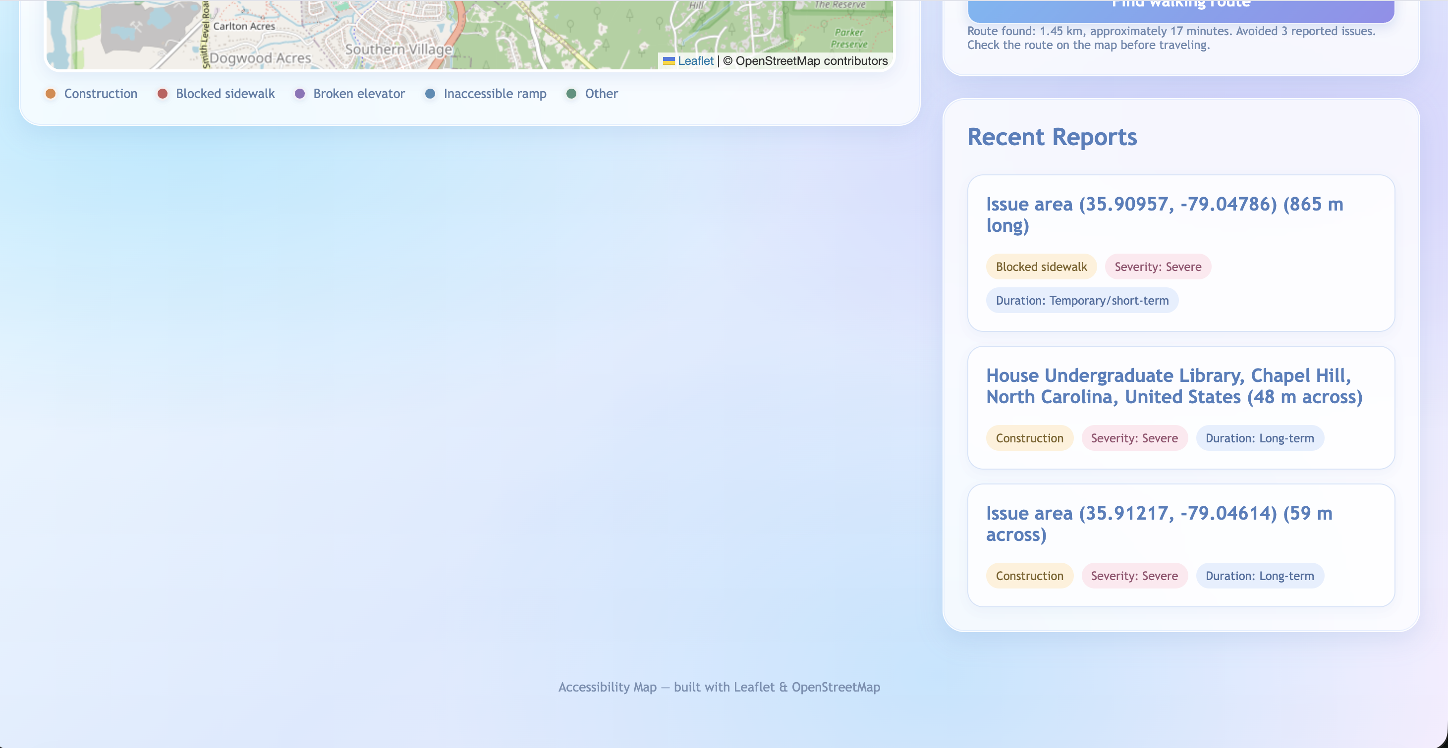
Recent Reports
-
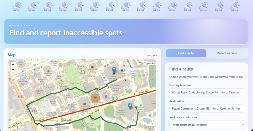
Find Clear Route
-
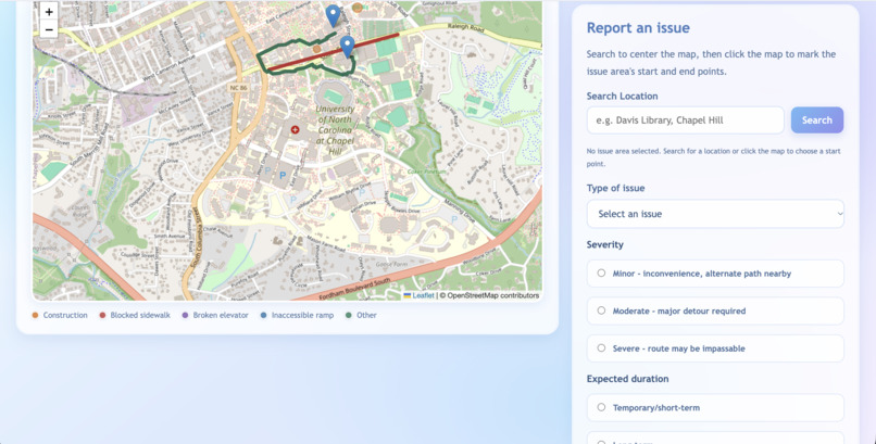
Report an Issue
Inspiration
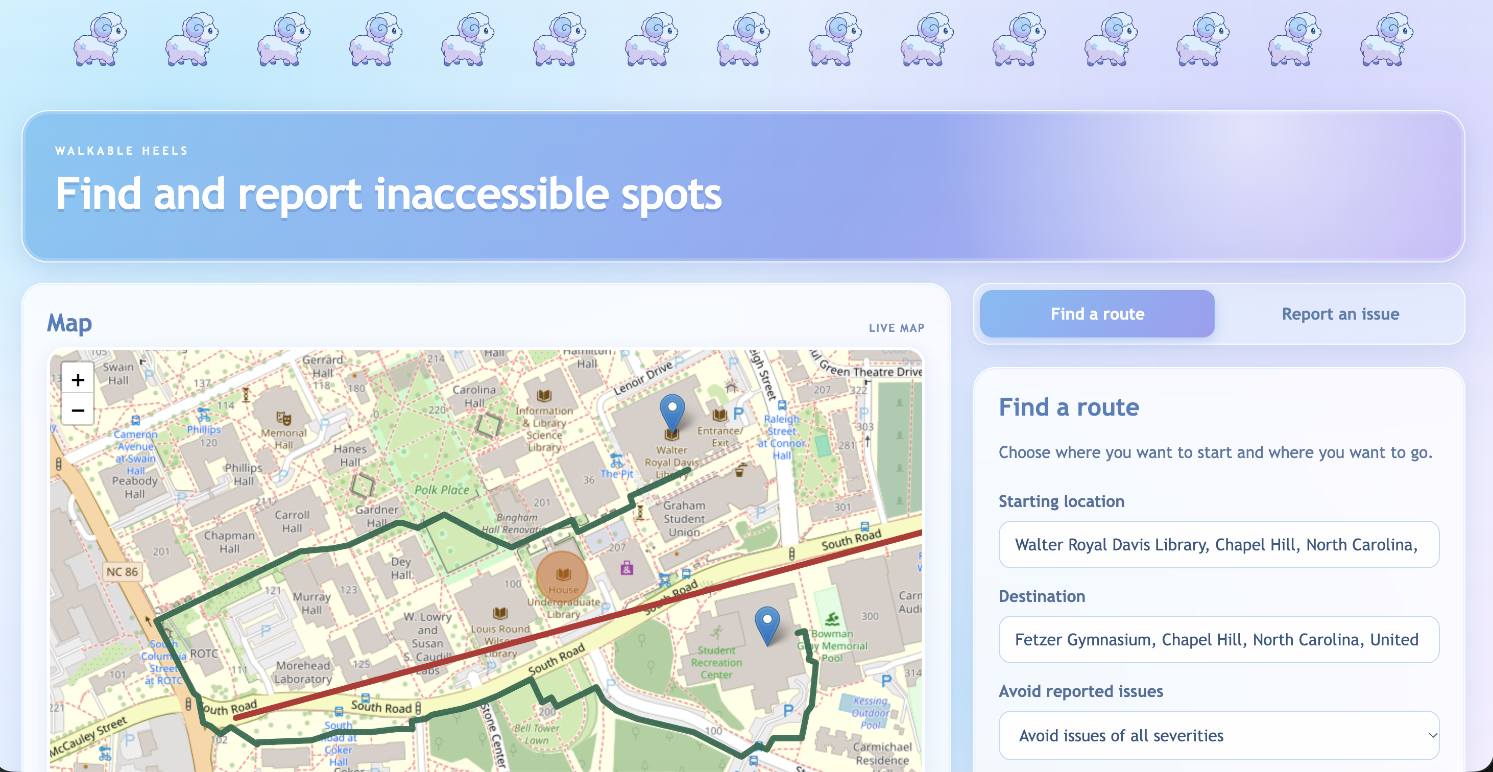
We were inspired by the construction around the University of North Carolina at Chapel Hill campus, such as the construction happening around Undergraduate Library and the Student Union. Oftentimes, using Google Maps would lead us along paths that ended being blocked off, causing much headache about how to get to classes.
What it does
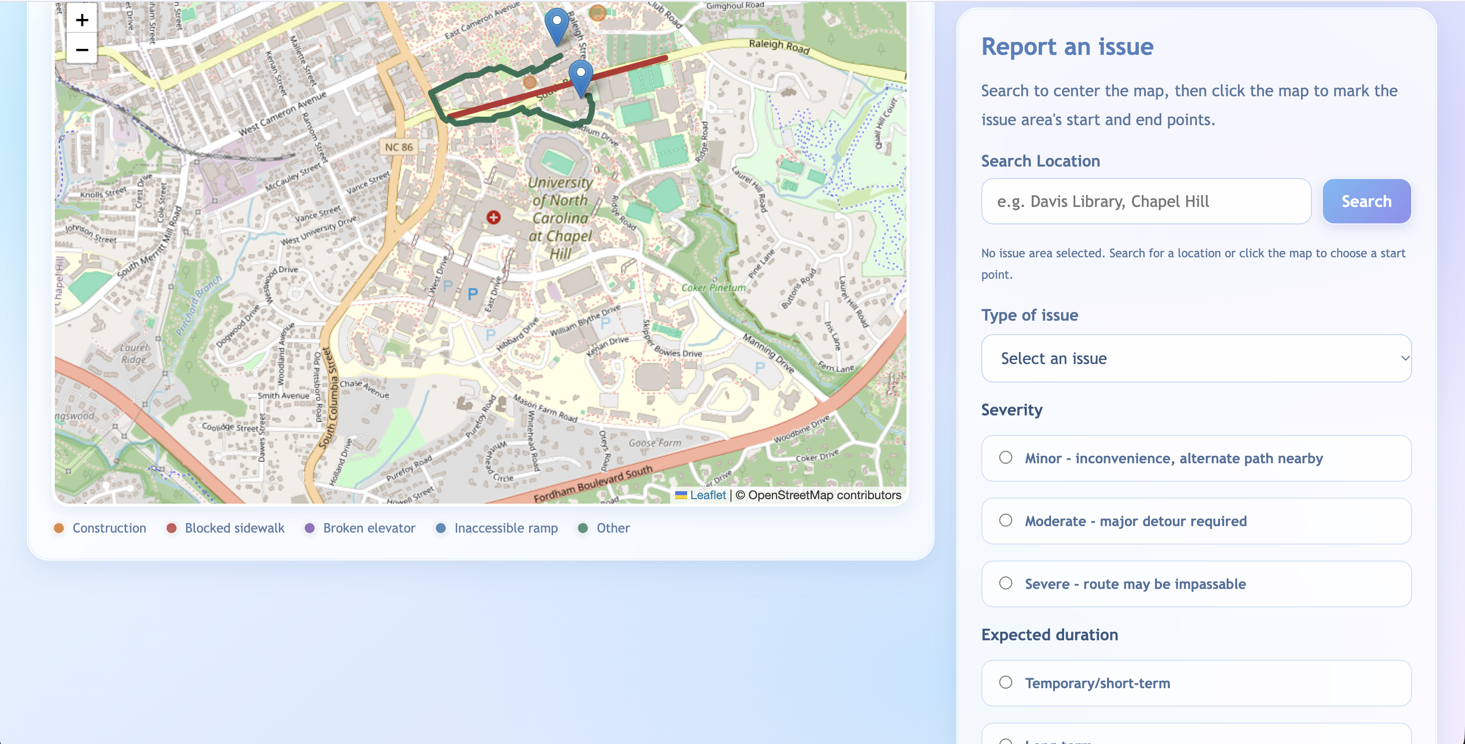
Walkable Heels is an app where members of the community of Chapel Hill, North Carolina would be able to know about inaccessible routes before they head out and plan a route free of any roadblocks. Users can also report where they experienced a blocked off or broken area.
How we built it
We used the open source Leaflet JavaScript library and OpenStreetMap to power our interactive map and the open source OpenRouteService to find unobstructed routes. The frontend is a single file with plain JavaScript. The backend is a simple Node.js server that does not use any extra frameworks. It sends webpage files to the browser, forwards walking-route requests to the OpenRouteService API, and handles saving and loading issue reports. The database is PostgreSQL via Supabase, storing reports in a single local file so they persist across server restarts and reports can be viewed by different devices. We also beautified the UI with purple-blue gradients.
Challenges we ran into
One of the main challenges was trying to coordinate the use of GitHub and branches across team members. We resolved this by actively learning from our mistakes and utilizing online resources to resolve git conflicts. Another big challenge was figuring out how to use JavaScript since none of us are very well versed in the language. It was very challenging at first, but slowly as the program started coming together, the syntax started making more sense. A third big challenge was trying to make the stickers aligned properly.
Accomplishments that we're proud of
We are proud of the fun UI colors that really make the program look more appealing and user friendly along with fitting the theme of the hackathon. Overall, we are proud of building a functional app during our first hackathon.
What we learned
We learned about how to effectively manage project history across a shared GitHub repository and how to develop a simple full-stack app from start to end.
What's next for Walkable Heels
In the future, we would like to expand the range of the maps so that it covers a larger region. We would also like to implement a location tracker that shows what direction you are facing. Additionally, we want to add an admin setting to moderate the content reported to the map to ensure it is appropriate and we would like to allow users to create their own accounts. We would also want to add the hours for each building.


Log in or sign up for Devpost to join the conversation.