-
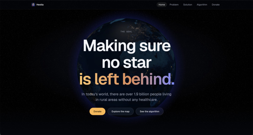
First View (Home)
-
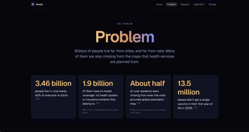
Problem
-
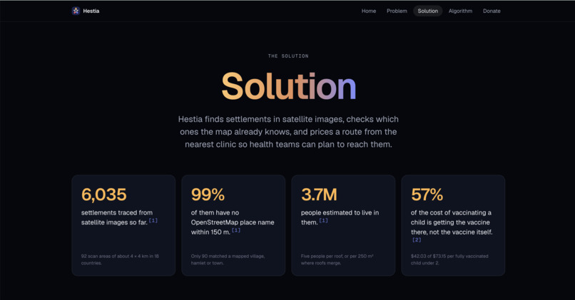
Solution
-
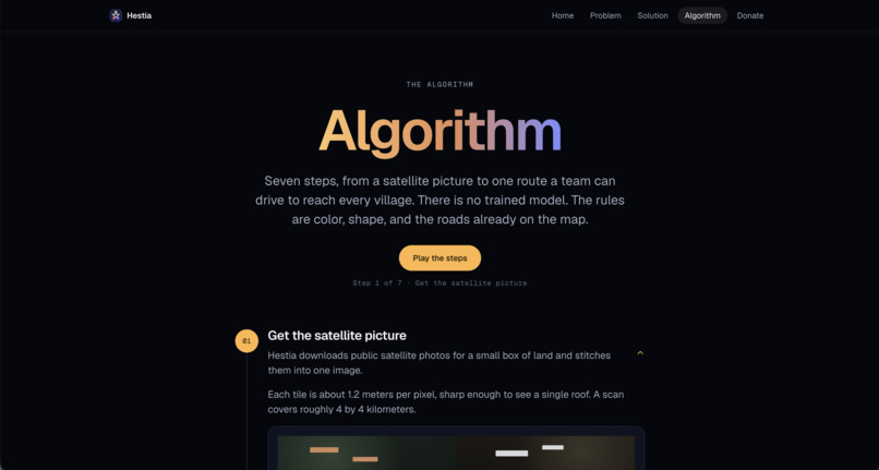
Algorithm
-
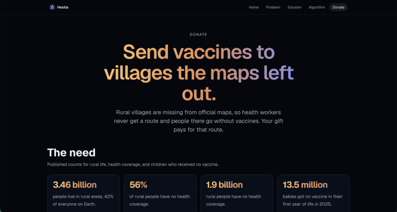
Donate
-
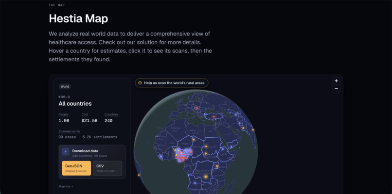
Map
-
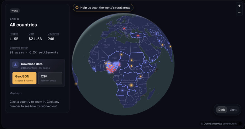
Map Dark
-
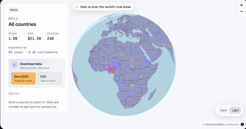
Map Light
-
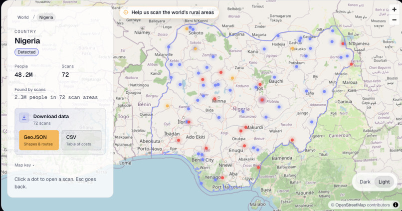
One Country
-
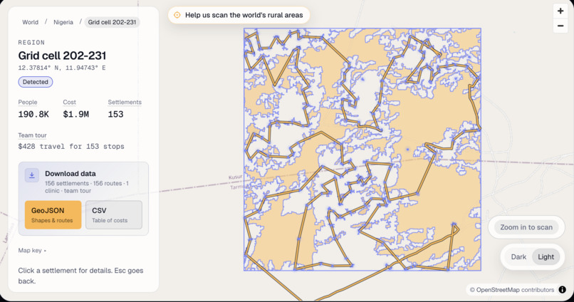
One Scan
-
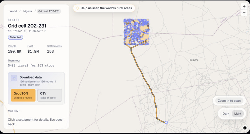
Scan + Medical Team Route
-
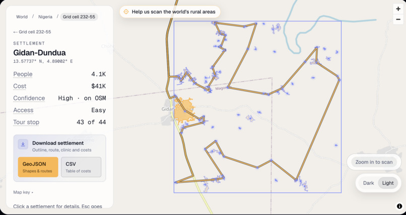
One Settlement
Inspiration
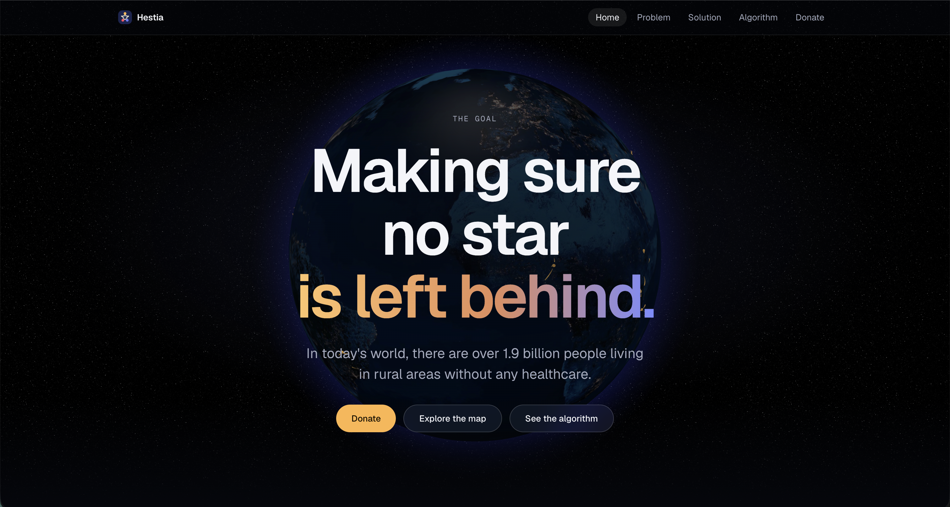
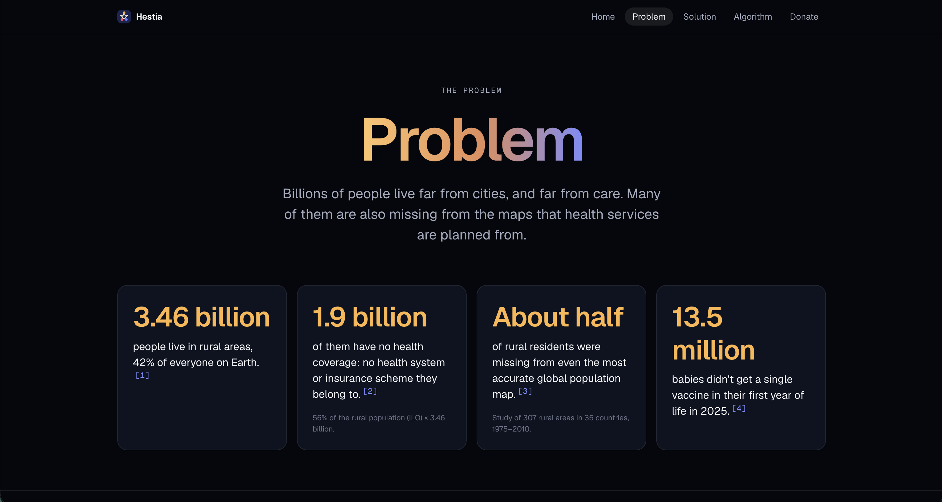
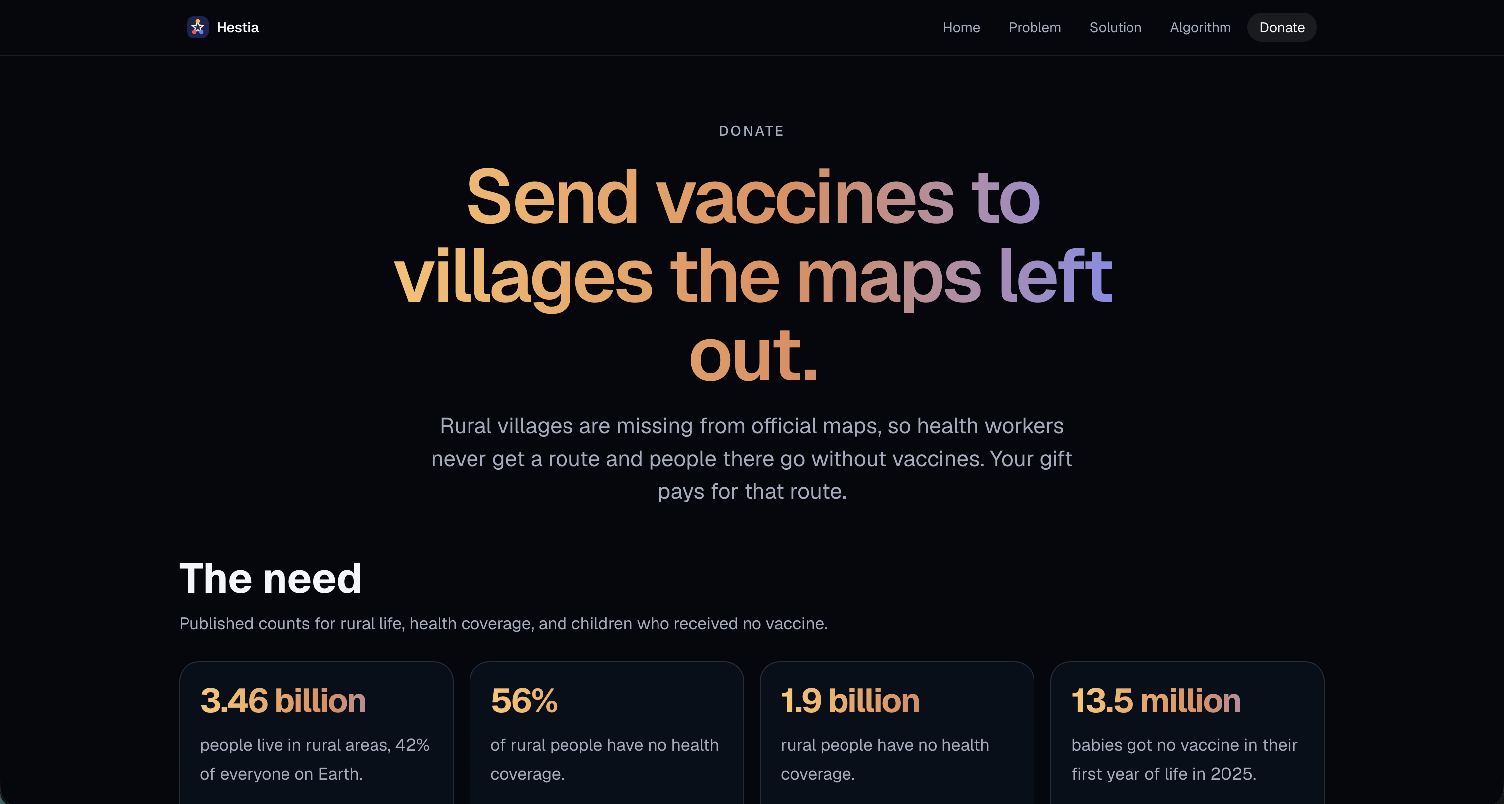
One of the most common parli debate topics is about universal vaccination and health support. This time, instead of debating on topic, why not solve it? After doing a little more research, we discovered that over 1.9 billion people living in rural areas have 0 access to any vaccines, which is devastating for life expectancy and quality of life. With this kind of scope, we knew we had to tackle the challenge of solving this issue.
What it does
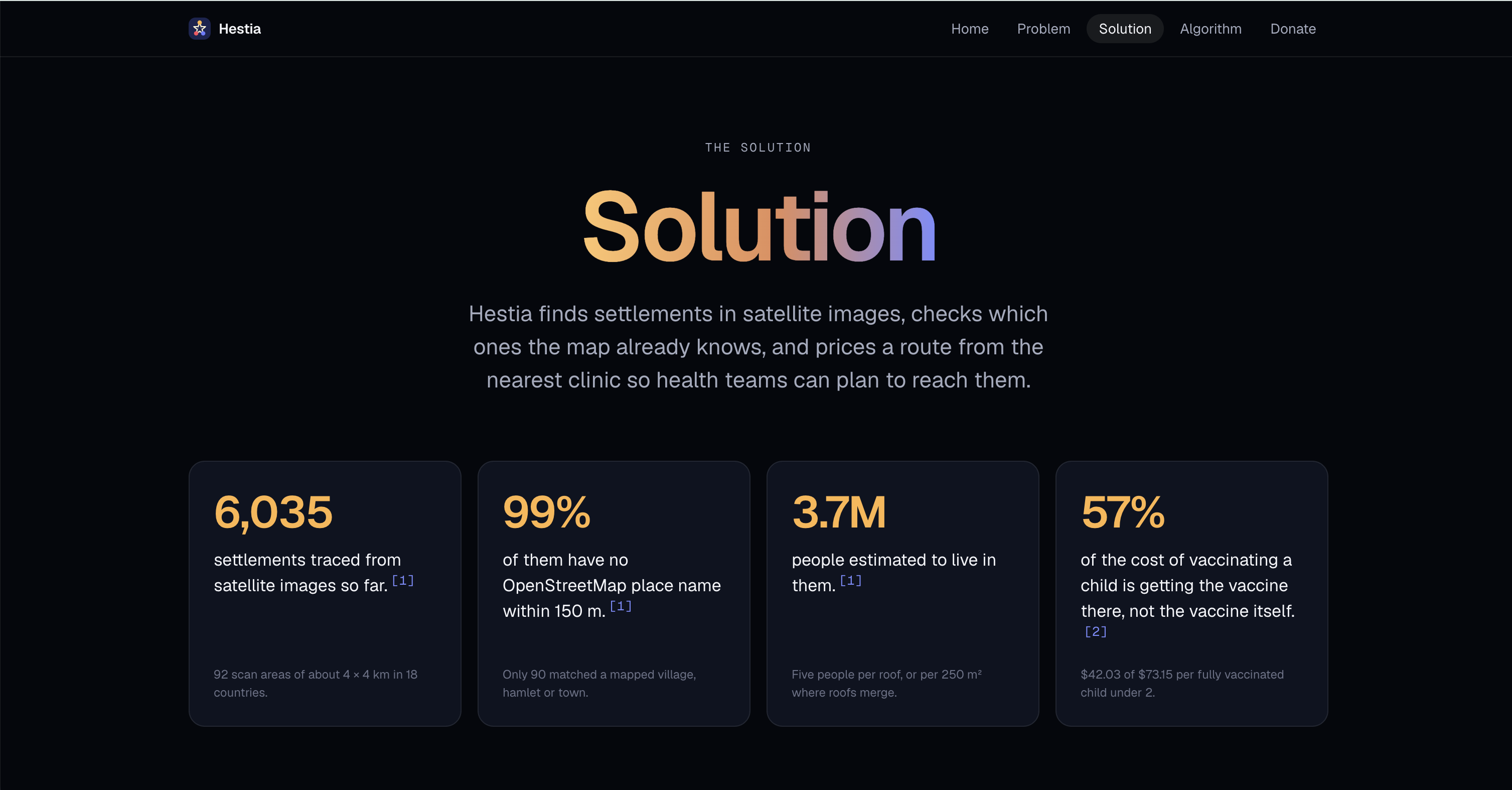
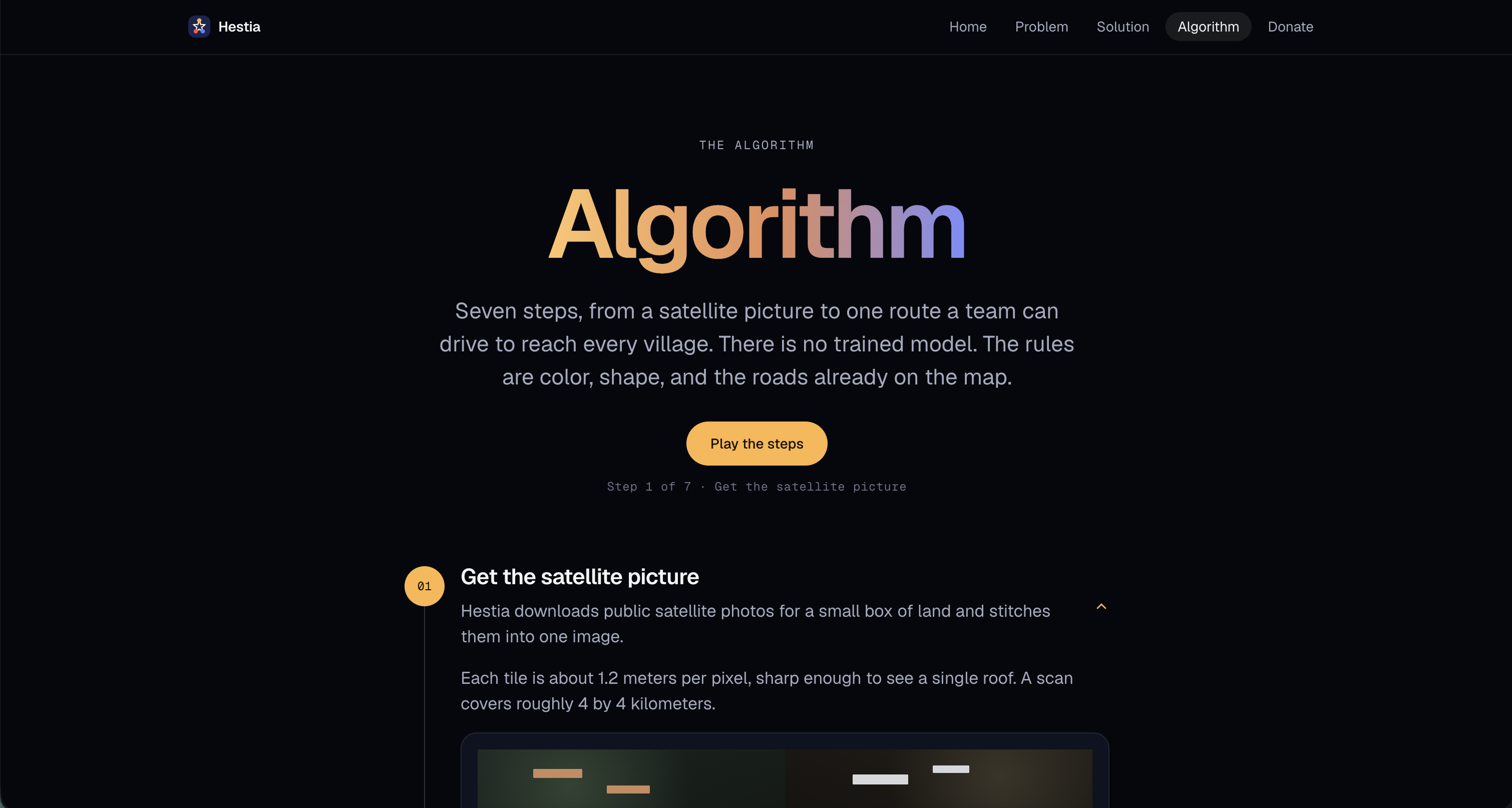
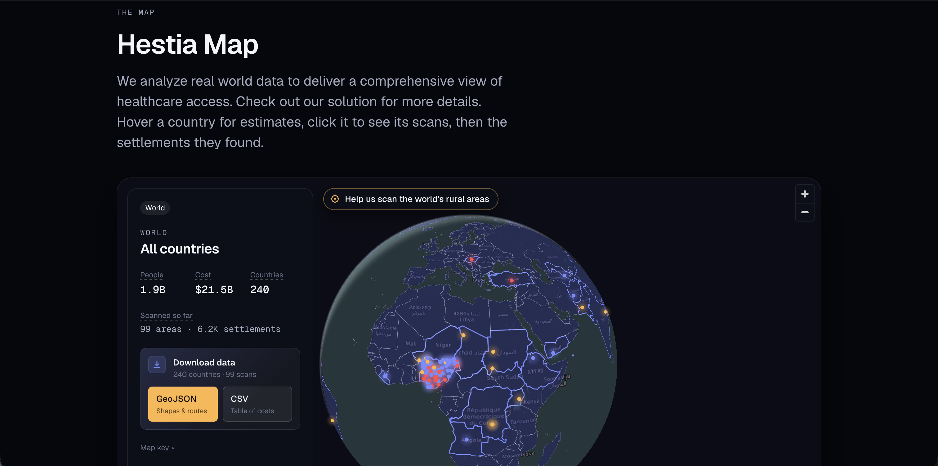
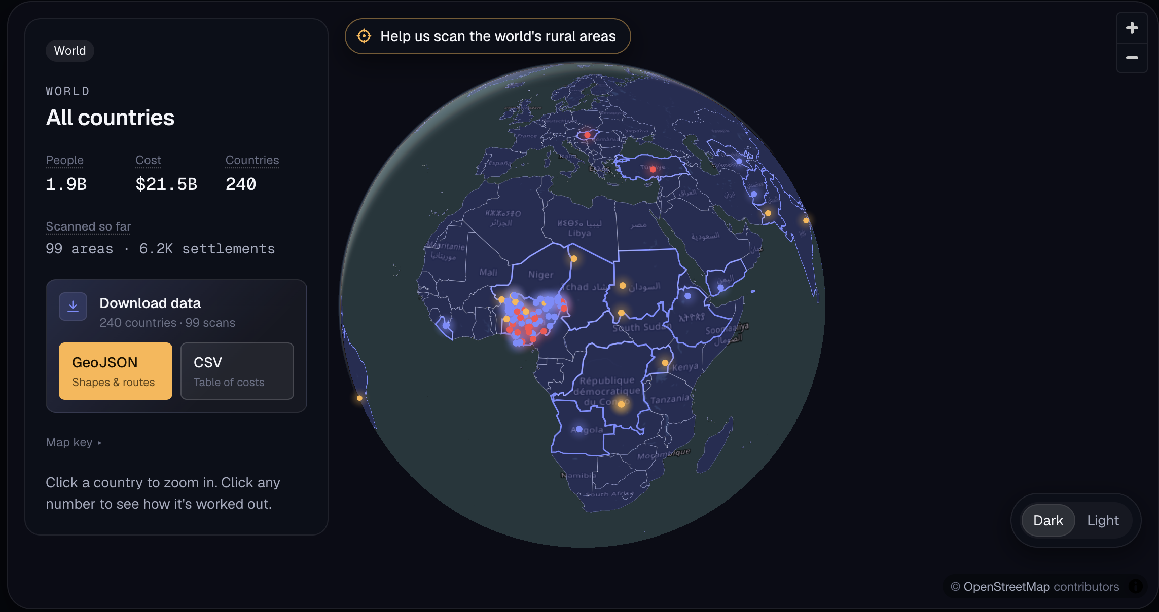
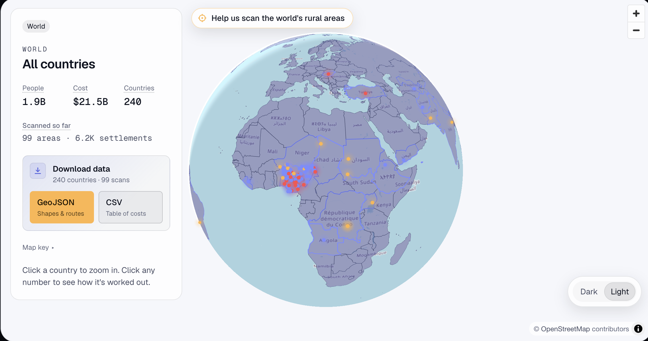
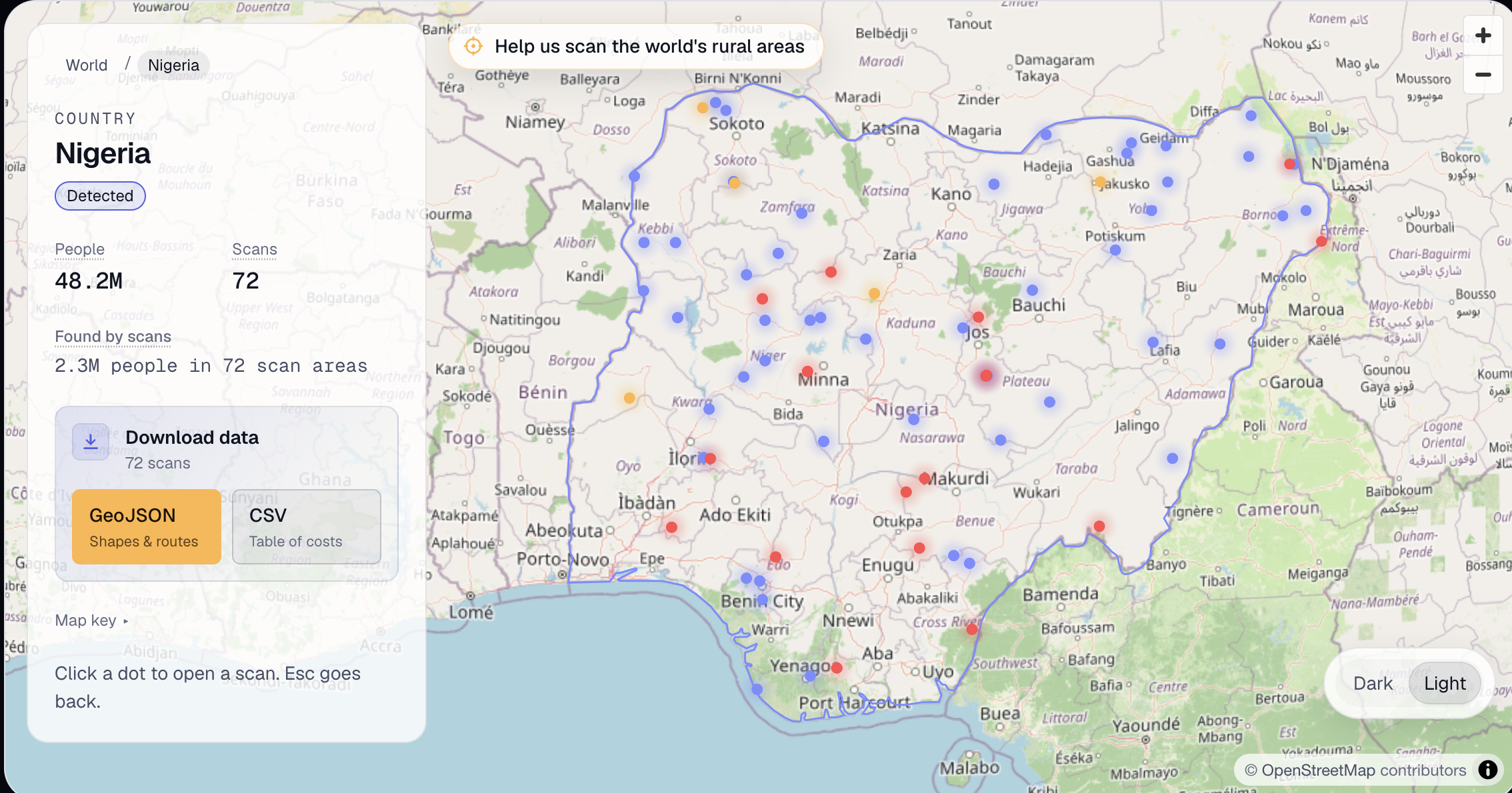
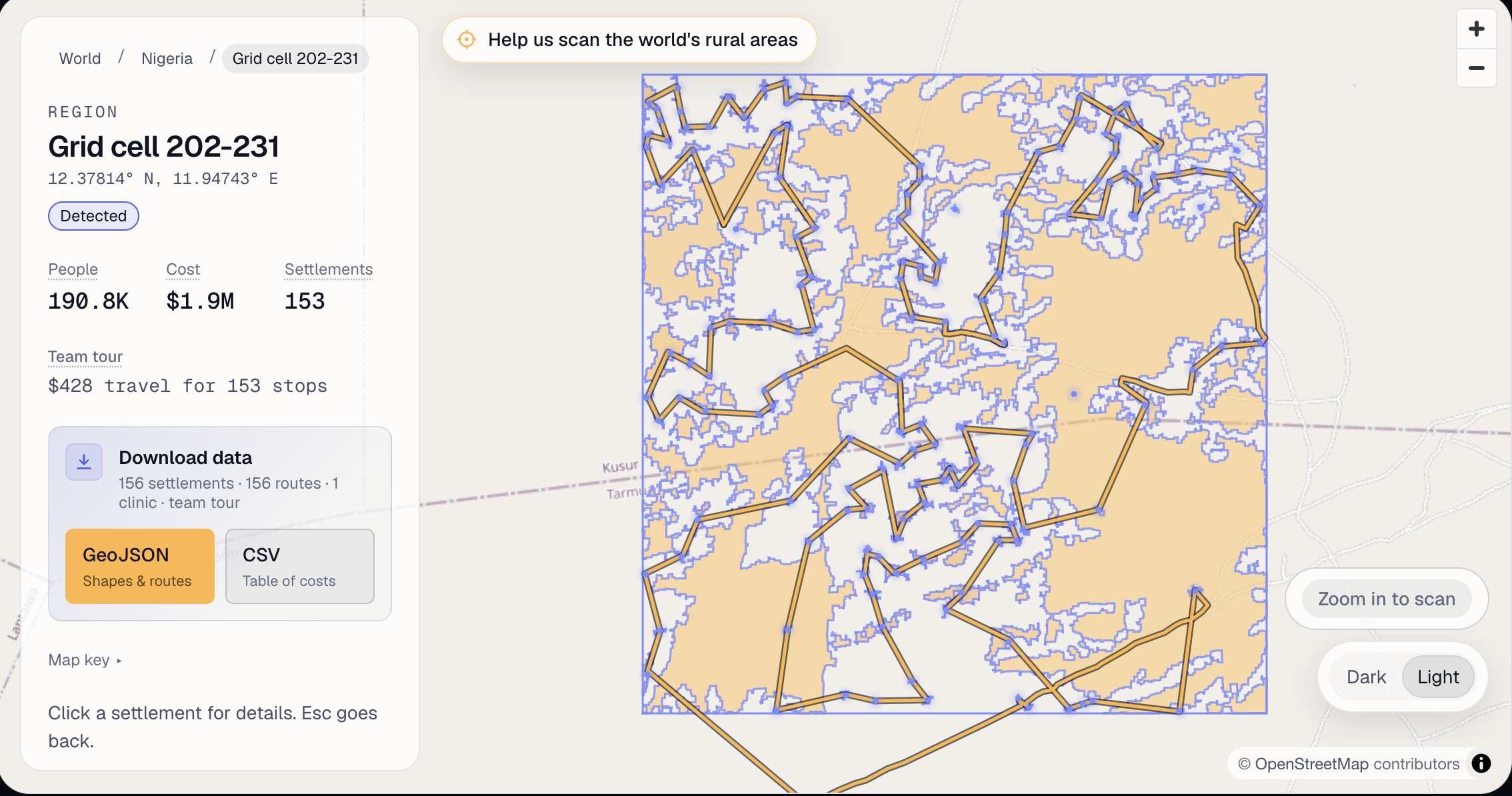
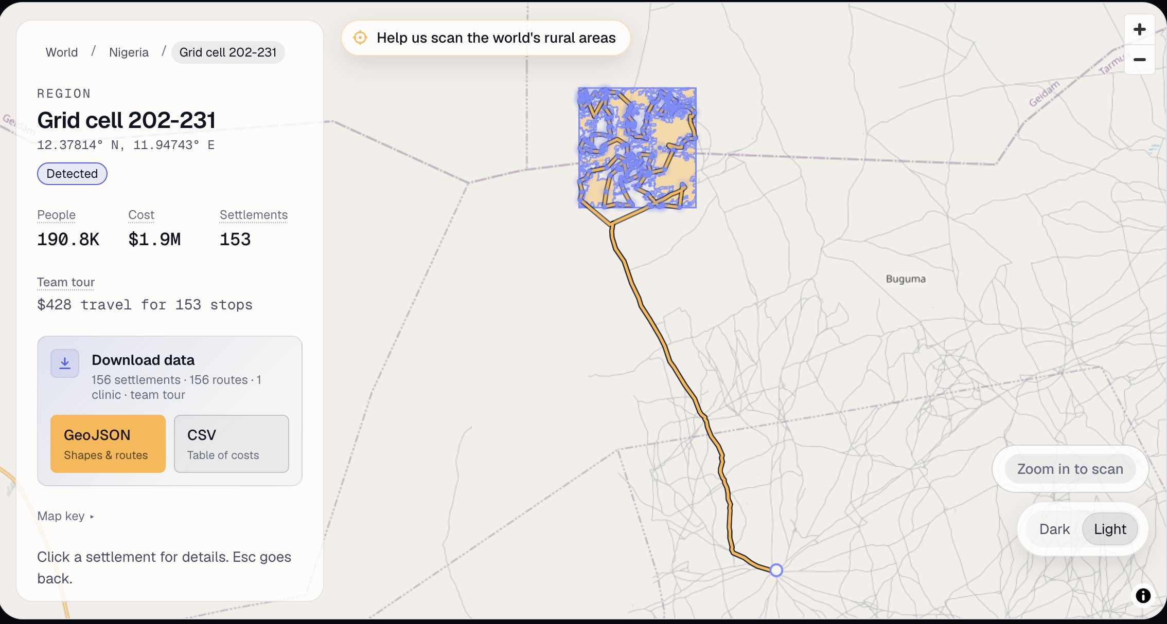
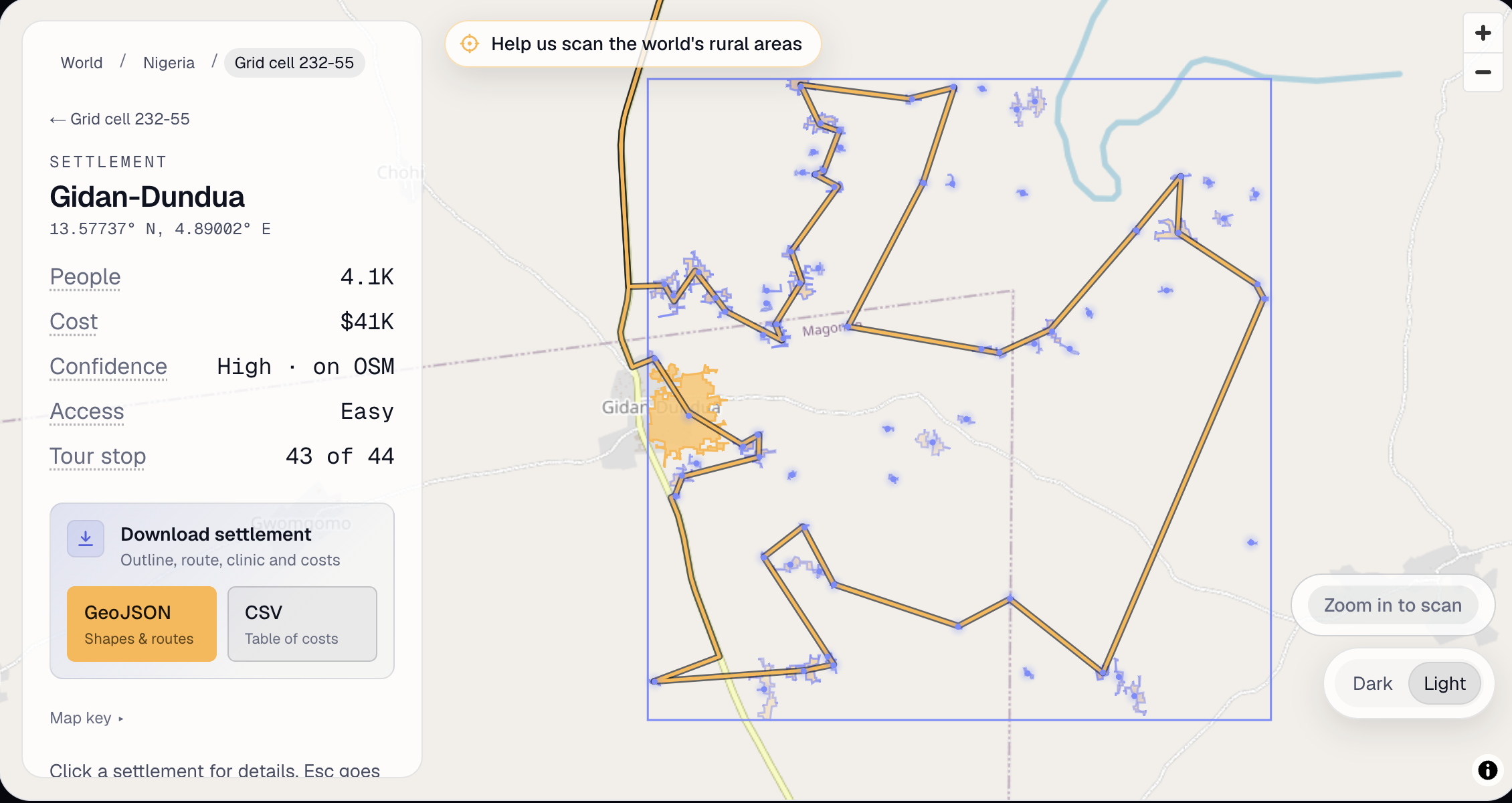
Hestia takes data from OpenStreetMaps(OSM) and Esri World Imagery Wayback(Esri), which is a constantly-updating satellite map of the world. Using a groundbreaking custom algorithm that takes into account both Esri and OSM, Hestia has the capability to then scan parts of the world looking for rural communities. Then, using information about where medical facilities are according to OSM, the most cost effective route possible for health officers to visit all the settlements is constructed. It takes into account vaccination costs per person, travel costs along different terrains, and the confidence that our algorithm has in each settlement's existence. By giving locations, routes, and costs, Hestia tells governments how much money they should budget to a location, where that location is, and what the most efficient way to get there is.
How we built it
We designed the entire backend and frontend. Then, using the help of AI, we put many of our ideas into real code. From there, we edited anything that needed to change. Most of these changes were in the algorithm, which we ended up completely redoing multiple times. Later, we added a database, which was entirely set up by us.
Challenges we ran into
Roofs vary wildly throughout different areas, so we originally didn't really know the exact rules that we needed to create in order to identify what is a house and what is not. Because of this, this identification algorithm had to go through multiple rounds of iteration.
Accomplishments that we're proud of
We were able to create a roof identification algorithm after many rounds of iteration, eventually deciding on a color rule-based approach. We took the major roof colors and created different edge rules to each of them. For example, a red roof would have to have an edge value of at least 22, which means that the difference between it's pixel and the closest pixel to any side would have to have a brightness difference of at least 22. We also created a custom Dijkstra mapping algorithm to calculate the cost of getting to a bunch of settlements from a health facility. Slower terrain is viewed as a higher cost. For example, a highway is $1.20 per kilometer and a residential road is $2.00 per kilometer.
What we learned
We learned that there is a crisis of health accessibility, and almost nothing has been done to solve it. We also learned how to use a bunch of new APIs, like OSM, Esri, and MapLibreGL.
What's next for Hestia
We genuinely think that Hestia could help a lot of people, if implemented by governments. After this hackathon, we will reach out to our local representatives to get their feedback on it. After implementing their feedback, we will continue to look for more feedback and expansion opportunities. This includes adding governments that users may donate to.
Built With
- css
- esriworldimagerywayback
- javascript
- json
- openstreetmap
- ts
- tsx

Log in or sign up for Devpost to join the conversation.