-
-
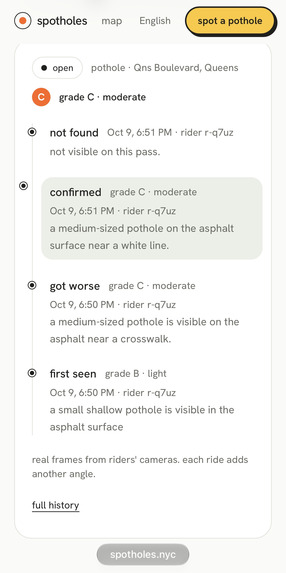
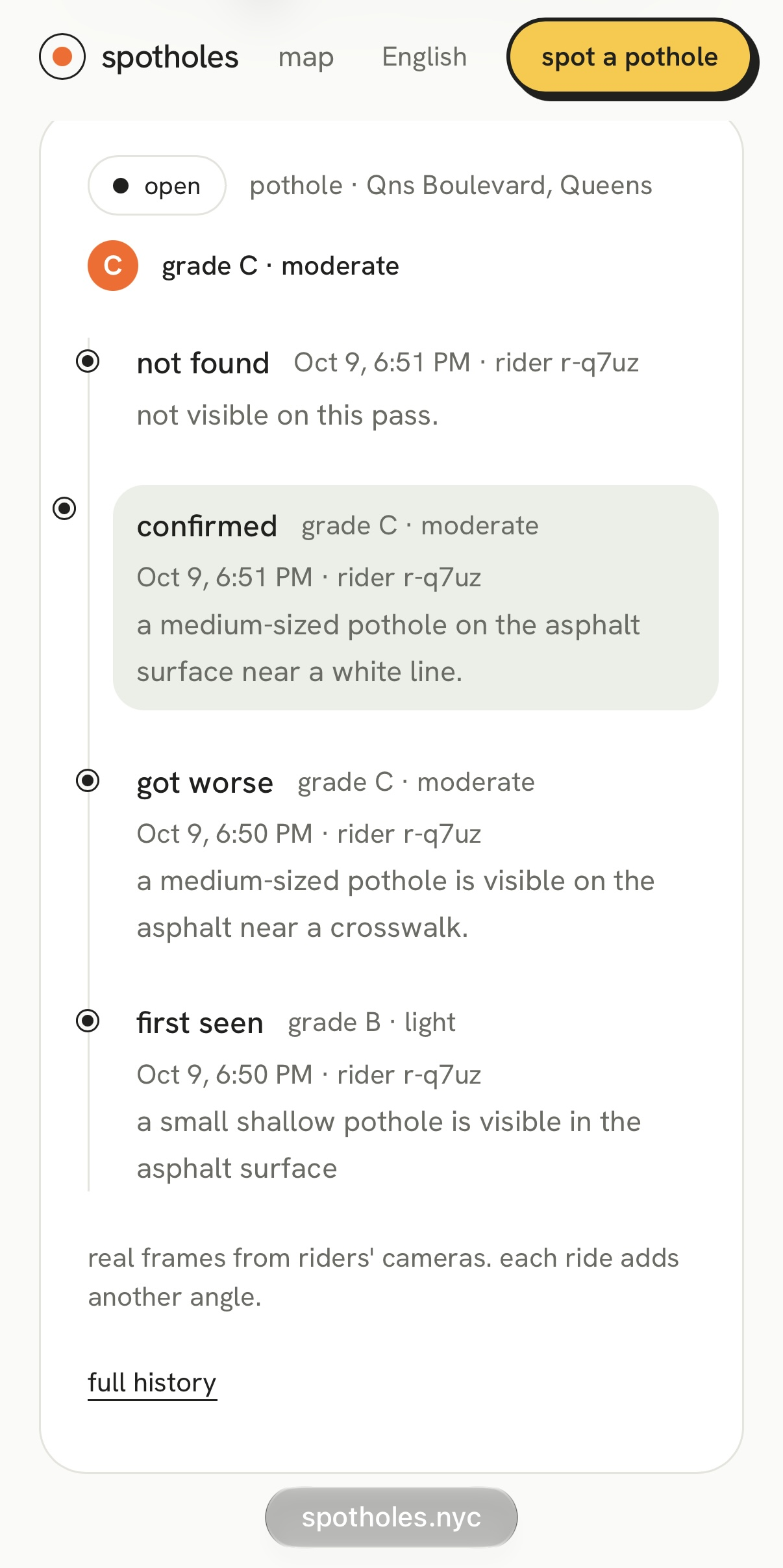
Spot history: every photo and check-in on one 311 spot, newest first, with its grade.
-
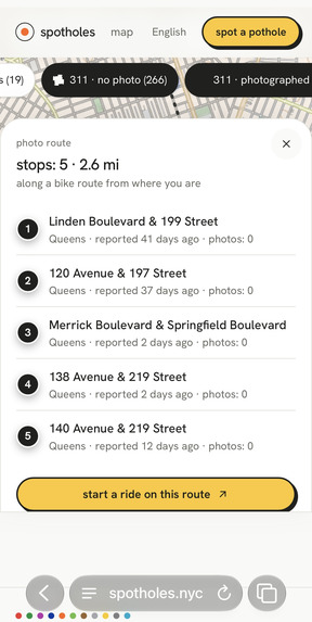
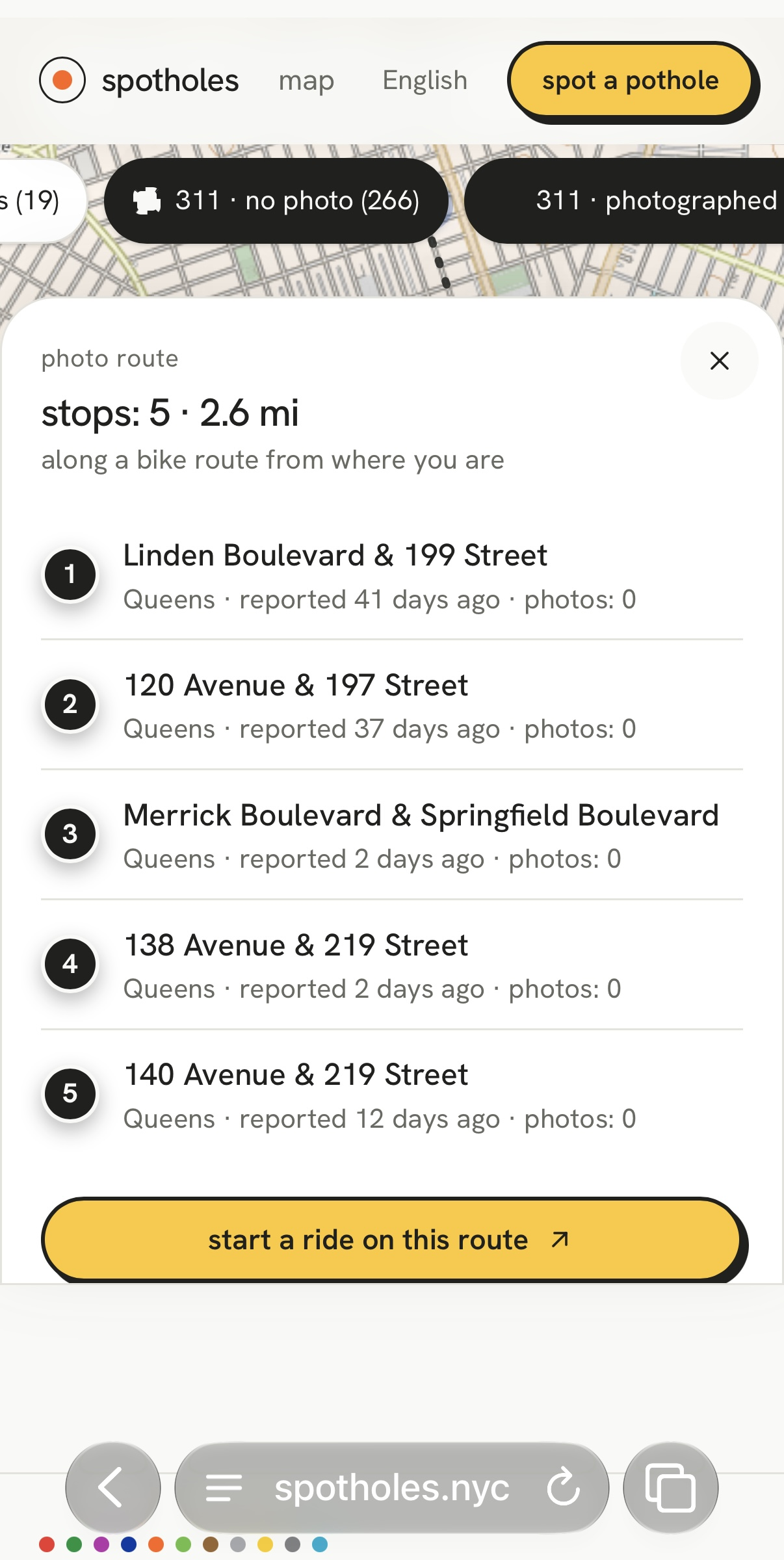
Photo route: reported potholes with the fewest photos, planned along a bike route.
-
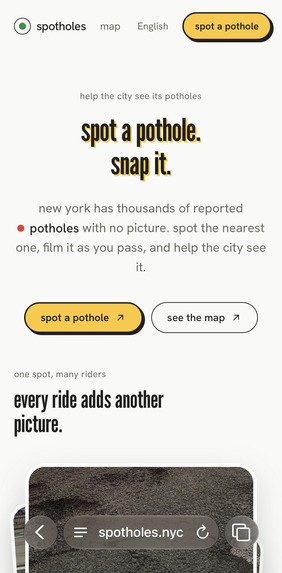
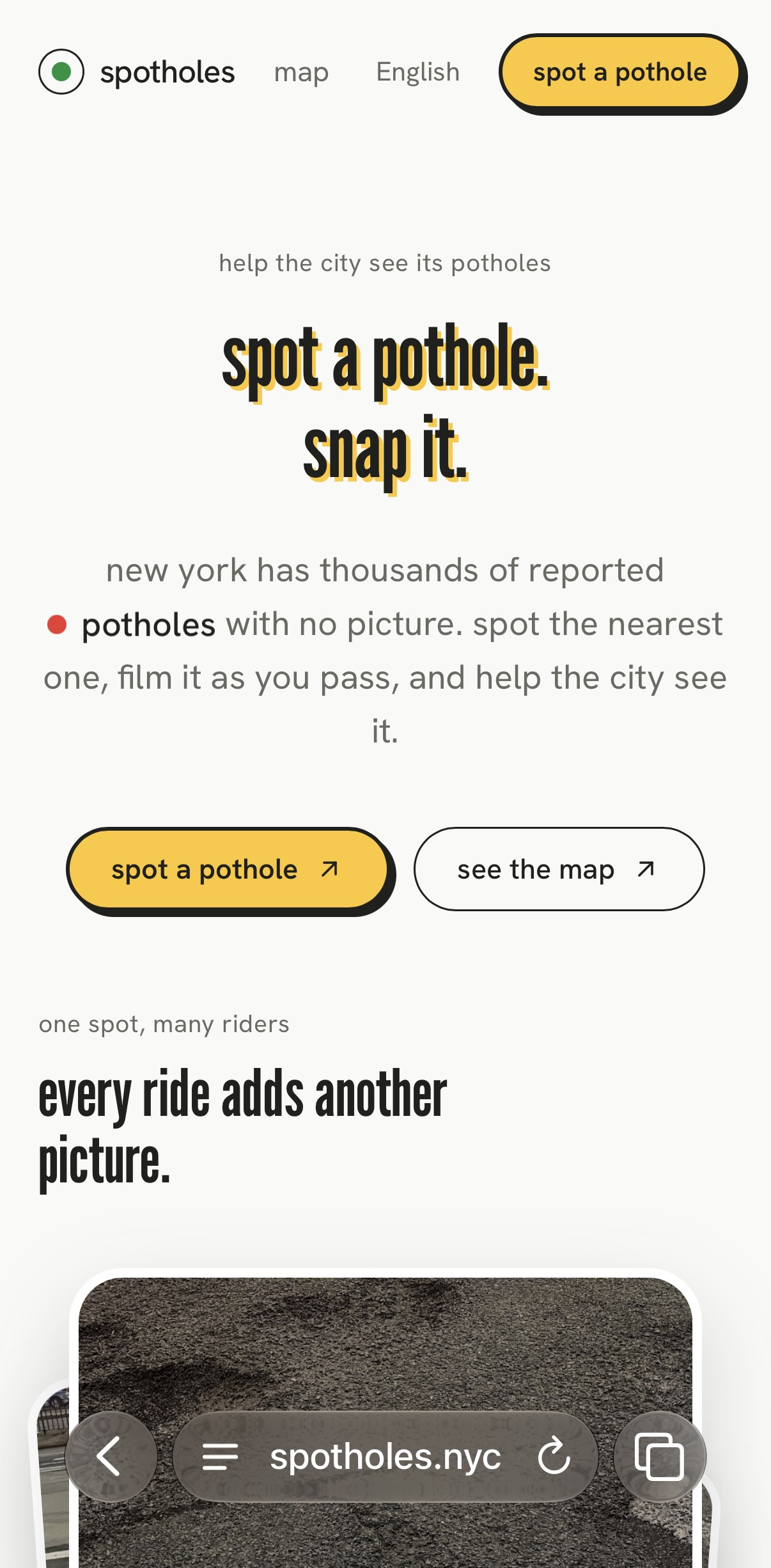
Home: one tap to spot a pothole, or open the map.
-
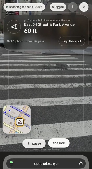
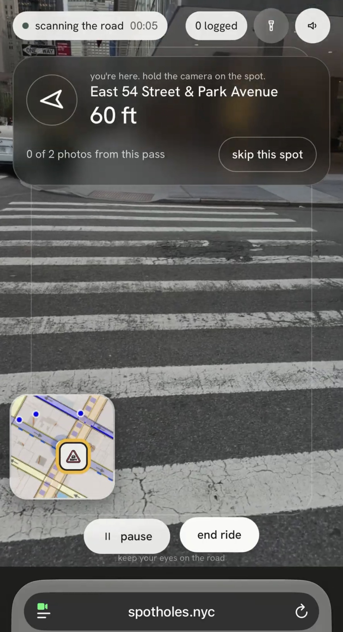
Camera screen: a see-through arrow, distance and live mini-map lead you to the 311 spot.
-
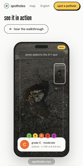
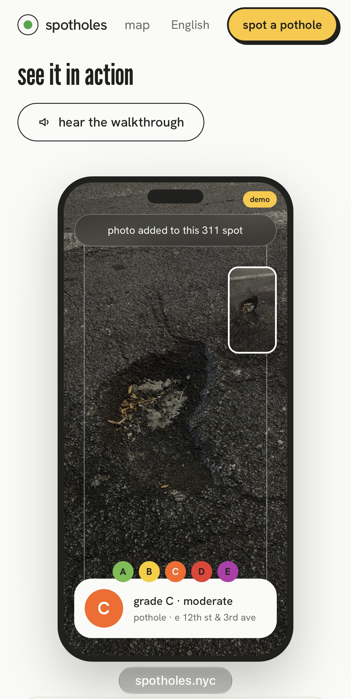
Walkthrough: the camera spots it, then grades it A to E like NYC health department letter grades.
-
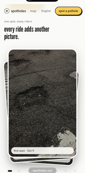
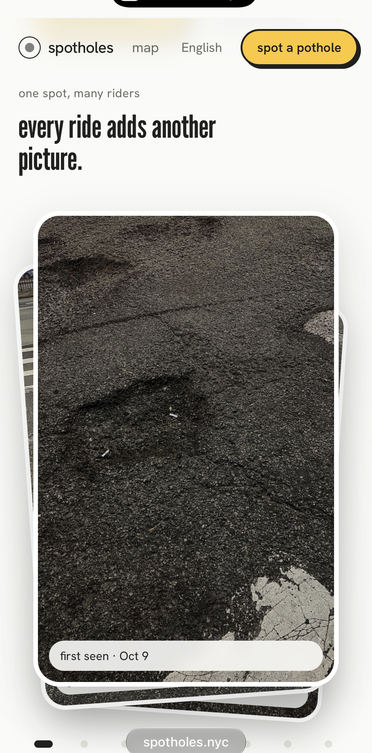
One spot, many photos: every 311 report collects pictures from volunteers over time.
-
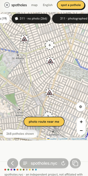
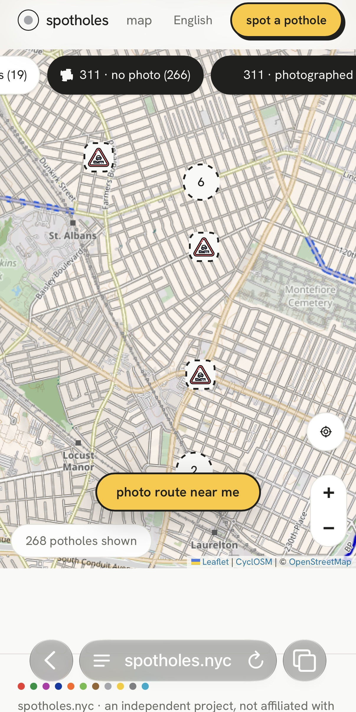
The map: 311 reports (squares) and volunteer finds (circles) across New York.
Inspiration
NYC has thousands of 311 pothole reports, and almost none have a photo. Austin and Boston track potholes with pictures; New York mostly has an address and a few words. People already walk past these spots every day, so why not turn that into a few seconds of volunteer work?
What it does
spotholes points you to the nearest reported pothole (or a route past a few of them) with a see-through arrow and a live map. When you're there, the camera spots the pothole for you. If it misses one, just say "take a picture here". AI keeps only real road potholes and grades them A to E, like the NYC Department of Health letter grades. Every 311 report becomes a page that fills up with photos from everyday New Yorkers, plus street-level photos from Mapillary.
There's a demo mode that walks you through a simulated visit, and the whole site works in ten languages.
How we built it
- Camera and voice: the phone camera feeds a YOLO model for a first pass, then Gemini judges each photo (roads only, no sidewalks, no screens). ElevenLabs does the spoken cues and turns "take a picture here" into a command.
- Data and maps: NYC's 311 open data syncs daily into Tiger Data (Postgres). Leaflet draws the map, OpenStreetMap routing plans the route, and Mapillary adds street-level photos.
- App: Next.js and TypeScript on Vercel, with photos in Vercel Blob.
Photos with faces or license plates are never stored.
Accomplishments that we're proud of
It's a real, working, hands-free web app on spotholes.nyc, running on actual 311 reports, not a mockup.
What's next for spotholes
Share the photo record with the city, and add repair check-ins so you can see when a pothole gets fixed.
Independent project, not affiliated with the City of New York. Grades and sizes are AI estimates.
Built With
- elevenlabs
- gemini
- leaflet.js
- mapillary
- nextjs
- postgresql
- tailwindcss
- tiger-data
- typescript
- vercel
- yolo


Log in or sign up for Devpost to join the conversation.