Devpost
Participate in our public hackathons
Devpost for Teams
Access your company's private hackathons
Grow your developer ecosystem and promote your platform
Drive innovation, collaboration, and retention within your organization
By use case
Blog
Insights into hackathon planning and participation
Customer stories
Inspiration from peers and other industry leaders
Planning guides
Best practices for planning online and in-person hackathons
Webinars & events
Upcoming events and on-demand recordings
Help desk
Common questions and support documentation
Sort by:
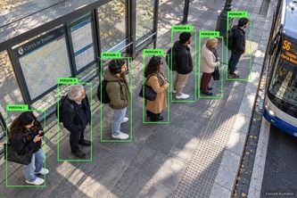
Predict bus crowding before it happens. By combining onboard passenger counts (APC) with smart bus-stop cameras, we help operators spot unmet demand and passengers plan more comfortable journeys.
Pin a Chicago block. Qloo shows who already eats there. GitLab Duo plans, fixes, reviews and ships — a person merges.
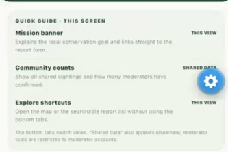
Empowering Florida residents to identify and report invasive plants using AI, turning community sightings into verified data, measuring environmental impact, and inspiring lasting local change.
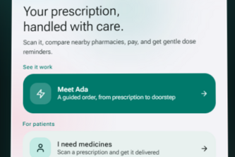
Scan it, fill it, take it: prescriptions made simple.
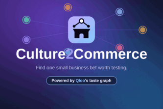
Four AI agents turn Qloo cultural signals into one local micro-business idea for your neighbourhood, with a budget-checked pilot plan you can launch this weekend.
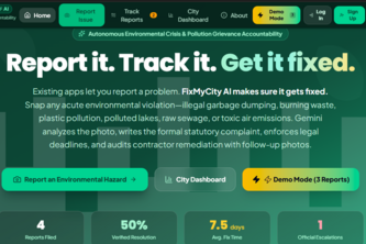
Existing apps let you report a problem. FixMyCity AI makes sure it gets fixed.
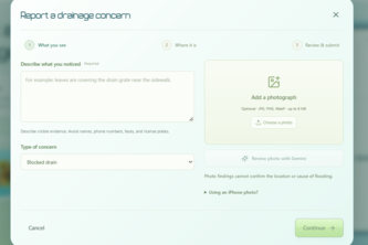
Blocked drain? Snap it, map it, report it. ClearFlow uses AI and crowdsourced data to turn overlooked stormwater problems into informed solutions for safer streets and cleaner waterways.
A private chef, nutricionist and shopper at your fingertips. Ready to make the process of eating cheap healthy food as easy as possible
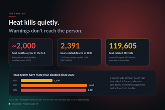
ShadeNet turns live weather data and open maps into a heat shield for your block: a personal risk score, the nearest cool refuge, and a buddy who is alerted if you go quiet.
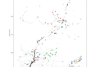
Raw satellite data to who’s cut off, in an hour: flood damage mapping for the Himalayas.
Check your ride in one tap: location and route ratings based on reported transit incidents in Hyderabad.
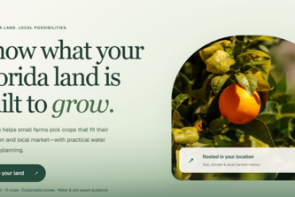
Not sure what to grow? AgriSense uses real agricultural data and AI to recommend crops and fertilizers based on your location, land size, and needs, helping you grow with confidence.
Vola tracks your flight and checks your bag, then turns delays and damage into a ready-to-file evidence packet for EU261, UK261, US DOT and Montreal claims.
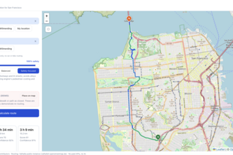
Every map app picks the fastest route, Buddy Walk gives you the safest one
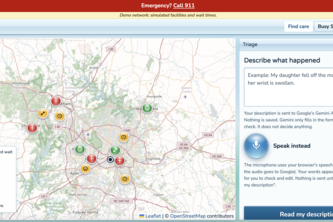
AI-assisted healthcare routing that matches patients with appropriate care based on injury type, facility capabilities, and simulated wait times.
Shoulder Watch is AI that watches Georgia’s 3,700 public traffic cameras, spots stalled cars before they’re reported, and texts drivers via iMessage so they can move over safely.
Stop paying to dig up the same street twice. InfraSync turns a city's scattered roadwork into one coordinated plan: fewer closures, millions saved, every decision explained.
Find your Carolina community—swipe through campus events, connect with clubs, and plan your next adventure.
See a pothole, broken sidewalk, or any city issue but unsure where to report it? Snap a photo. AVision's AI identifies the problem, finds the right Atlanta agency, and drafts the report in seconds.
Crash detection for scooters, bikes, wheelchairs, walking, and cars. If you can't respond, Crashline alerts your people automatically and texts them from your own phone.
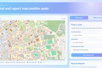
Have you ever tried getting somewhere on campus only to find your path blocked? With Walkable Heels, you can plan your path ahead of time and warn others about roadblocks.
Culicid is surveillance infrastructure for mosquito-borne diseases with two components: Shazam for mosquitoes and a live risk dashboard.
Travel smarter. Venture further. Built by travelers for travelers, find cheaper routes via nearby airports, simpler exploration, and cultural know-how that turns booking into real readiness.
A Navigation system designed for pedestrians.