Devpost
Participate in our public hackathons
Devpost for Teams
Access your company's private hackathons
Grow your developer ecosystem and promote your platform
Drive innovation, collaboration, and retention within your organization
By use case
Blog
Insights into hackathon planning and participation
Customer stories
Inspiration from peers and other industry leaders
Planning guides
Best practices for planning online and in-person hackathons
Webinars & events
Upcoming events and on-demand recordings
Help desk
Common questions and support documentation
Sort by:
SAR teams still coordinate with paper maps and radios. OpenSAR replaces human SAR commanders with a Nemotron agent that coordinates volunteers in real time. Think Google maps for SAR
The ultimate hackathon companion. Find your perfect team with a simple swipe, navigate the venue, and stay connected with live chat and schedules so you can focus on building.
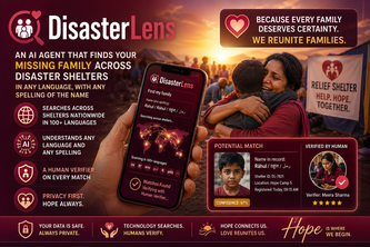
DisasterLens: an AI agent that finds your missing family across disaster shelters in any language, with any spelling of the name, and a human verifier on every match.
Extreme weather needs smarter navigation. That’s why I created RescueRoute AI — an AI-powered live disaster map that helps users avoid danger zones and find safer routes instantly.
A smart urban mobility platform that connects parking, transport, and route planning to make daily commuting faster, greener, and more efficient.
When seconds matter, SafeNow gets you to help before panic does!
AI-Powered Disaster Intelligence for a Safer World
Built for the road. Built for the regions.
Autonomous AI agents uncovering rare, discontinued, and hidden local shop inventory through real-time spatial intelligence.
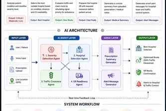
ClearRoute AI is an intelligent emergency response system that uses AI-driven triage, smart hospital routing, and real-time load balancing to save critical time and improve patient outcomes.
A real-time geopolitical strategy game where you play as the President of the United States. Make decisions on live world events, manage factions, and shape history.
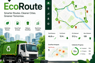
Intelligent waste collection optimization platform reducing fuel costs and urban overflow zones.
A crowdsourced map connecting people with disabilities to accessible locations across Europe.
EWARS: multi-agent AI pipeline that fuses clinic visits, pharmacy spikes, and environmental data into WHO-style epidemic alerts.
MIRA is a multilingual healthcare navigator helping uninsured & undocumented users find care, lower costs, understand medical docs, and apply for aid, no account, email, or data needed.
Real-time hyperlocal food surplus radar powered by five AI agents. Photo to claim a meal in under 5 minutes. Connecting surplus food donors with nearby seekers and volunteer runners.
AccessMap AI builds a personalized, explainable map of the city for people with different accessibility needs. It routes around the things other maps pretend aren't there.
AI-powered route and truck-loading planner that optimizes Damm deliveries by reducing distance, improving unloading order, and visualizing the best pallet layout.
Proof of concept of a route and cargo optimizer based on real data. Includes a 3D cargo visualizer and route viewer.
BlindSpot- turn near-misses into real-time cyclist safety intelligence, helping cities identify danger BEFORE crashes happen!
Food support across Canada
An offline-first AI emergency intelligence platform designed for the world’s most remote and disconnected environments.
AI Powered Smart Recovery Network for Lost & Found Items..!!
Inventory Forecasting & Disaster-Resilient Supply Chain Management