Devpost
Participate in our public hackathons
Devpost for Teams
Access your company's private hackathons
Grow your developer ecosystem and promote your platform
Drive innovation, collaboration, and retention within your organization
By use case
Blog
Insights into hackathon planning and participation
Customer stories
Inspiration from peers and other industry leaders
Planning guides
Best practices for planning online and in-person hackathons
Webinars & events
Upcoming events and on-demand recordings
Help desk
Common questions and support documentation
Sort by:
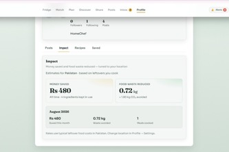
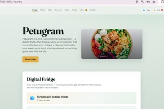
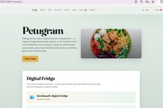
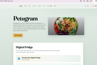
Petugram turns your fridge into a smart hub — AI recipes from what you have, meal planning, surplus food sharing, and local food discovery, all while cutting waste and tracking real impact.
AQIntel turns air-quality data into hyperlocal insights that explain pollution, predict risks, and help cities take smarter, faster action.
ResQ: AI-powered emergency response that listens, classifies, and dispatches real help in seconds — with live tracking and automatic family alerts, from report to resolution.
A neighborhood-scale digital twin that tells you what planting this street would actually feel like. Climate models answer national questions. Terrarium answers, "What about this street?"
Turning surplus food at World Cup host cities into affordable meals — before it becomes waste.
Aegis keeps tracking ships after AIS goes dark, predicting where they could be using live ocean data for rescue, enforcement, and maritime safety.
Physics-aware routing for a carbon-aware world
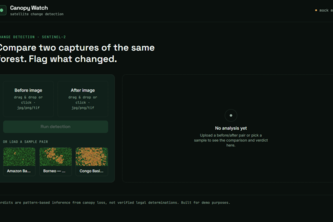
AI that compares before/after satellite images to flag illegal deforestation pinpointing where, how much, and how confident we are, in seconds instead of manual review.
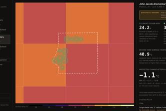
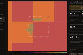
Measures a schoolyard's tree canopy and ground temperature from satellite data, then costs a planting plan a principal can act on — and withholds any number it cannot source.
Satellite-measured schoolyard canopy and surface temperature, turned into a costed planting plan — and an honest refusal when the data can't support the claim.
Static guidance assumes static conditions.
An exercise router
Group trip planning that actually resolves disagreements: merges every traveler's budget, diet, and vibe into one AI-generated itinerary.
Turning real environmental data into clear, actionable flood intelligence.
FloodWise turns safe, real-time community observations into trustworthy flood intelligence and safer routes for Marikina residents.
How can they help the environment?
Navigation that sees the barriers traditional maps miss.
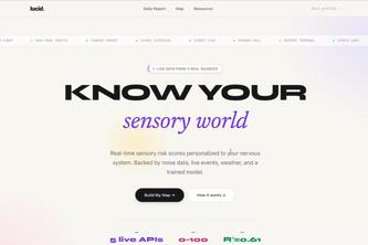
A real-time sensory map of your world, personalized to your nervous system. Using personally trained LLM models R^2 = 0.93, real data, real sources, real research, made with real feedback.
Every food spot in Marikina City gets one permanent URL, with an AI concierge and a real baranggay (District) map to help you find it. Helping small food businesses to keep up.
AI-powered intelligence for understanding and escaping urban heat.
GreenProof lets suppliers prove environmental compliance using real geospatial data and zero-knowledge proofs-without revealing exact locations, production volume, or supplier secrets.