Devpost
Participate in our public hackathons
Devpost for Teams
Access your company's private hackathons
Grow your developer ecosystem and promote your platform
Drive innovation, collaboration, and retention within your organization
By use case
Blog
Insights into hackathon planning and participation
Customer stories
Inspiration from peers and other industry leaders
Planning guides
Best practices for planning online and in-person hackathons
Webinars & events
Upcoming events and on-demand recordings
Help desk
Common questions and support documentation
Sort by:
An AI-powered nature prescriptions tool connecting your mental state to live sunlight, weather, and green spaces.
Canopy finds nearby nature breaks that fit your time, comfort, and access needs using live conditions and trusted local park data.
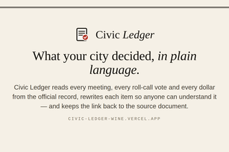
Civic Ledger — what your city council decided, in plain language. Every vote, every dollar, every meeting, pulled from the public record and explained, with links back to the source.
Every call agent starts from a list somebody already had. QuoteRunner decides who is worth calling from open data, calls them through CALL-E, and puts what they said in one price table.
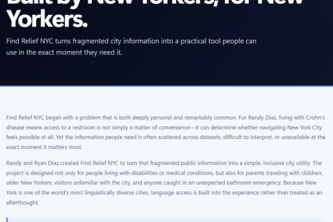
Find Relief NYC turns NYC public data into fast, accessible restroom and amenity access—helping people with urgent needs, disabilities, families, and everyday New Yorkers navigate with confidence.
Leverage NYC's open property data into an early-warning system for deed theft, helping city officials protect at-risk homeowners while giving residents free home-history and tax-exemption tools.
Free food maps tell you where. Curb Cut tells you if a wheelchair, walker, or stroller can reach it — MTA elevator status, USDA meal sites, NYC Open Data and Census, every claim sourced and dated
The walk that works for you.
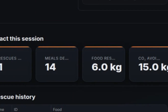
Zero waste. Zero hunger. An autonomous AI logistics agent matching surplus restaurant food with Edinburgh shelters and dispatching volunteer drivers.
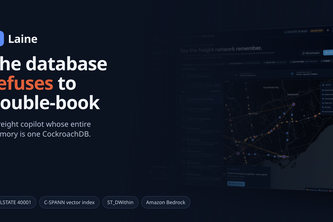
Freight runs on tribal knowledge. Laine makes it transactional: a dispatch copilot whose memory is CockroachDB - geo-pinned lane know-how, dock slots that can't double-book, decisions sealed.
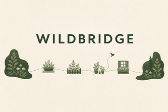
WildBridge connects urban habitats by showing how balconies, patios, and gardens can become stepping stones for biodiversity, revealing every small space's direct impact.
Google Maps gives you the fastest way home. SafeRoute NYC gives you the safest routing around the blocks where NYC's own data shows people are most likely to get hurt.
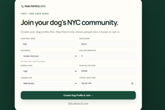
Ever wish you knew which fellow dog owners were living right around you? Paw Patrol NYC connects local dog owners to build a trusted neighborhood of walks, playdates, and mutual support.
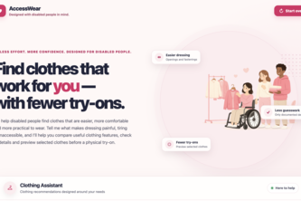
An accessible clothing assistant helping disabled people compare fit details, preview clothes with YouCam VTO and find alteration support with less effort.
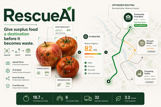
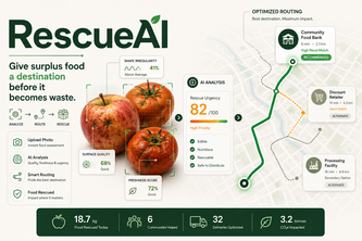
We don't just detect food waste, we decide what to do about it
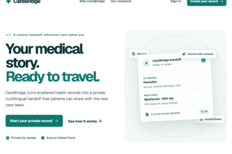
CareBridge turns fragmented medical records into a patient-controlled health history that can move across languages, providers, and countries.
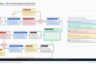
ResQMesh — Turning emergency chaos into fast, verified response decisions.
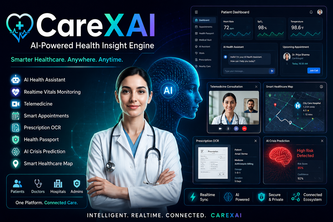
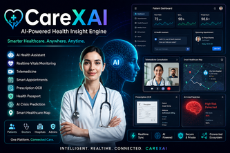
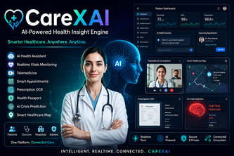
Your health, our clinical passion.
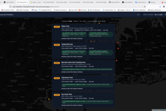
hello friends, i just built this in a 3-hour sprint — a live map of what's happening in downtown Toronto right now. Open the site, see the pins, know what's going on around you. That's it.
SitSpot isn't AllTrails or a streak game—it’s a quiet app for returning to one neighborhood patch of nature, with real-time wildfire smoke gating so connecting with the outdoors is always safe."
I don't go outside, because I don't know what to do outside, but what if that wasn't the case, what if there was a tool that helps you find places to touch grass