Devpost
Participate in our public hackathons
Devpost for Teams
Access your company's private hackathons
Grow your developer ecosystem and promote your platform
Drive innovation, collaboration, and retention within your organization
By use case
Blog
Insights into hackathon planning and participation
Customer stories
Inspiration from peers and other industry leaders
Planning guides
Best practices for planning online and in-person hackathons
Webinars & events
Upcoming events and on-demand recordings
Help desk
Common questions and support documentation
Sort by:
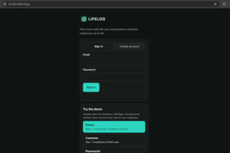
LIFELOG turns your medicine's FDA label into a "life budget," tracking every hot car and power outage to show how much safe life is left and what to do next.
SolarSight helps planners find promising brownfields for solar projects using real geospatial data and Pareto optimization to reveal which sites fit and the tradeoffs between them.
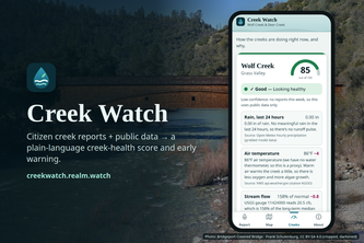
Report what you see at the creek in 2 minutes. Creek Watch fuses it with live USGS, weather and state water data into an explainable health score, water alerts and opt-in push.
Accessible routes that know what's blocked right now.
Walking routes that adapt to real-world obstacles in real time.
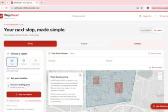
Disaster-aware routing across North Carolina that helps people find a way ahead, even when connectivity fails.
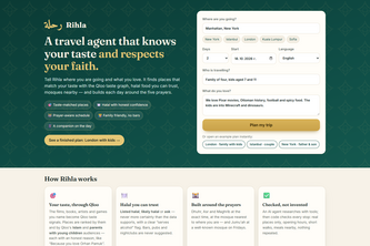
An AI travel agent for Muslim travellers and families: Qloo-powered places that fit your taste, honest halal food, and every day built around the five prayers.
Waymax helps people with Alzheimer's navigate their lives by recognizing loved ones, staying oriented and safe, with gentle on-screen and spoken cues and instant message alerts for caregivers.
Schools grade students. Who grades the schools? Onus exposes the gap between what sexual violence policy promises and what students actually experience.
The study room booking app made for university convenience
CampusBite bridges campus food waste and student budget needs. Our real-time platform instantly alerts UMich students to free surplus event catering with live, crowdsourced updates. Waste zero!
Walking home tonight? Use Firefly, an enchanted guardian in your hand, keeping you company, learning your story, and summoning help when you need it.
we r whale watchers & we luuuv mispricing & we luuuuv small-cap biotechs
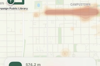
Quietside is a navigation app that finds the calmest, least-stimulating route for people who are overwhelmed by noise, crowds, traffic and flashing lights.
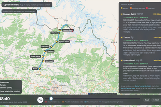
Turns the first seismic signal of an upstream glacier collapse into village-by-village flood alerts in English and Nepali, replayed on the Aug 26, 2026 Nepal–Tibet flood.
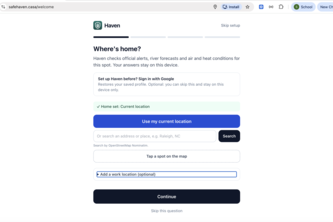
Haven turns official NOAA flood forecasts into a personal escape plan: which roads will go under, when to leave, and the lowest-risk route to higher ground.
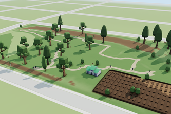
For park-goers to reach park planners and make better parks together. Ever been to a park meeting? filled in a park survey? Exactly. At least this is cool.
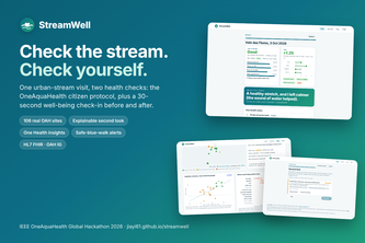
One stream visit, two health checks: OAH stream assessment + 30-second before/after well-being, giving volunteers a reason to return and researchers the missing paired dataset.
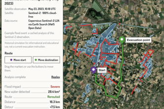
SatRelief turns open Sentinel-2 satellite data into flood-aware evacuation routes for any place and date since 2015: detect the water, block flooded roads, find a safe path.
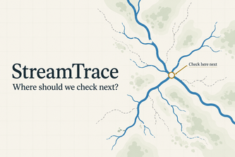
Turn citizen stream observations into reviewed evidence and a clear next check, helping communities and researchers focus freshwater investigations and protect ecosystem health.
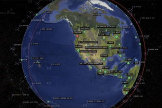
An intelligent surveillance platform that turns live camera feeds into real-time situational awareness
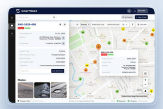
Turn a photo of a local infrastructure problem into an AI-generated, location-aware action plan in seconds.
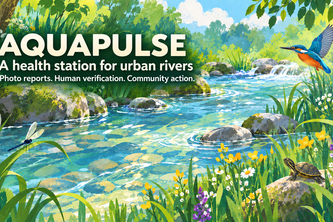
I built AquaPulse so people can report river pollution with a photo, see nearby reports on a map, and join local cleanup activities.
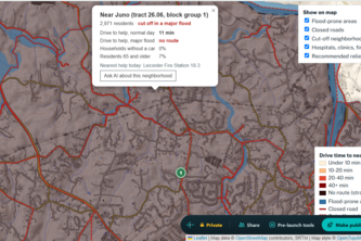
FloodGap uses Census, FEMA flood, and road network data to find western NC neighborhoods that could be potentially cut off by floods and picks relief sites that would reach the most vulnerable people.