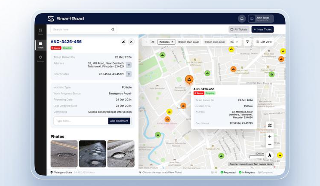
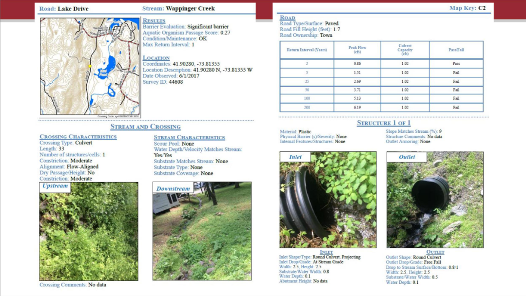
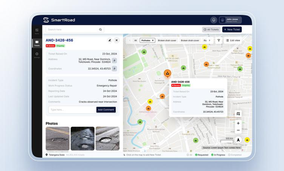
NIRMAAN AI combines multimodal AI, geospatial mapping, and automated report generation. A user can submit an infrastructure photograph, provide its location, and describe the issue. The AI analyzes the available information, identifies the issue category, generates preliminary observations, and suggests possible next steps. The project was built using web technologies, AI APIs, mapping tools, and cloud services to create an interactive workflow from photo → analysis → priority → action plan → report.
Built With
- ai
- api
- civil
- cloud
- computer
- engineering
- firebase
- gemini
- generative
- gis
- infrastructure
- javascript
- leaflet.js
- next.js
- openstreetmap
- react
- typescript
- vision


Log in or sign up for Devpost to join the conversation.