Devpost
Participate in our public hackathons
Devpost for Teams
Access your company's private hackathons
Grow your developer ecosystem and promote your platform
Drive innovation, collaboration, and retention within your organization
By use case
Blog
Insights into hackathon planning and participation
Customer stories
Inspiration from peers and other industry leaders
Planning guides
Best practices for planning online and in-person hackathons
Webinars & events
Upcoming events and on-demand recordings
Help desk
Common questions and support documentation
Sort by:
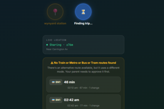
Smart Routes. Safe Arrivals. A personal safety app that helps it users stay safe when traveling by providing one-tap SOS alerts, live location sharing and safe navigation.
Sauron is an AI-native fleet digital twin and vision copilot that helps trucking dispatchers optimize loads, reduce deadhead, catch safety risks early, and act on real-time fleet intelligence.
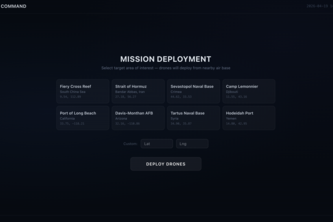
A multi-drone swarm simulation that coordinates 4 autonomous drones to search a contested area, detect objects via computer vision, and maintain continuity via mesh networking even when drones jam.
Parents lack visibility into their child's navigation capability, forcing them to choose between surveillance (tracking without guidance) or risk (independence without oversight)
Struggling to find the ideal location for your next business venture? Insights are key. We’re here to break walls down to make insight accessible to anyone who aspires to build a community staple.
Open the right business, in the right place, the first time.
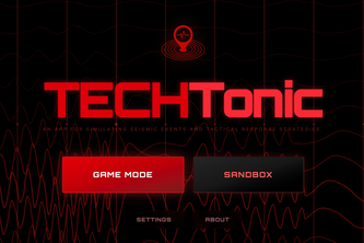
TECHTonic combines machine learning and geospatial visualization to predict earthquakes. Users place an epicenter, simulate seismic waves, and see how location impacts damage across a live map.
Pet Scout is a real-time map for lost & found pets. Post sightings with photos and locations, filter nearby reports, and help neighbors reunite pets faster.
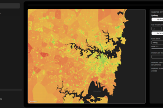
SuburbIQ uses real world data and AI to identify where businesses are most likely to succeed helping founders choose locations with higher survival and lower risk.
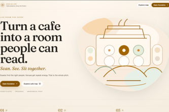
Don’t sip alone ☕ scan, connect, and meet new people around you instantly.
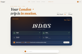
Smart booking. Agentic traveling. Effortless expenses. That’s Voyager.
Navigation apps route you to a pin and abandon you at the parking problem. Curby tells you where you'll actually be able to find a spot and load balances you with other Curby users to predict openings
Wildfire Watch: detect → dispatch → alert in <60s. NASA/CAL FIRE feeds, SageMaker-picked resources, SMS to residents in the blast radius. Every AI call guardrailed and audited before firing.
Mizaan connects Muslim donors, borrowers, mosques, and nonprofits in one closed loop — where your sadaqah never stops working.
Campus Ride is a trusted student-only ride-sharing app that connects classmates for affordable trips, with live map matching, in-app chat, and secure identity/payment verification.
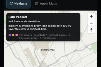
NightShift Detroit helps late-night walkers compare routes using travel time, public-record risk signals, air-exposure context, and access to nearby help resources.
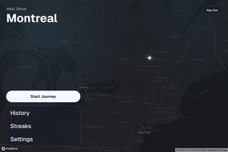
PastPort combines the best of your photos and your itinerary. You’re in control. Revisit past journeys, now visualized on the map, and paired elegantly with the pictures you took along the way!
HushMap eliminates wasted trips to loud, packed study spots with an interactive map, prevents sensory overload for neurodivergent students, and removes the need for awkward noise confrontations.
RadiantSafety is a live security ecosystem that routes you around urban danger and instantly activates nearby community responders during an emergency to bridge the gap before help arrives.
A flight-themed deep work app where focus sessions become journeys, and productivity feels immersive.
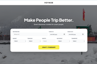
Plan smarter trips with ML-driven crowd insights, real-time NLP, and AI-generated itineraries
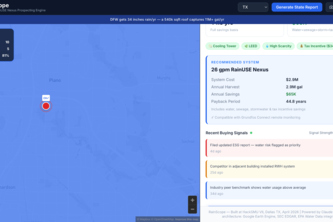
RainScope finds high-ROI commercial targets nationwide, verifying roofs with AI Computer Vision and auto-generating shareable ROI calculators to close deals instantly.
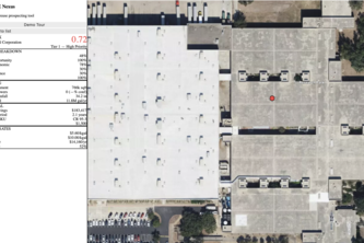
AI-powered tool that ranks commercial buildings for rainwater-reuse retrofits using satellite CV, rainfall data, and financial modeling.
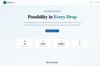
A web-based AI screening tool that ranks commercial buildings for rainwater reuse using real footprint, rainfall, resilience, and cooling-tower signals.