-
HS to Golden Gate
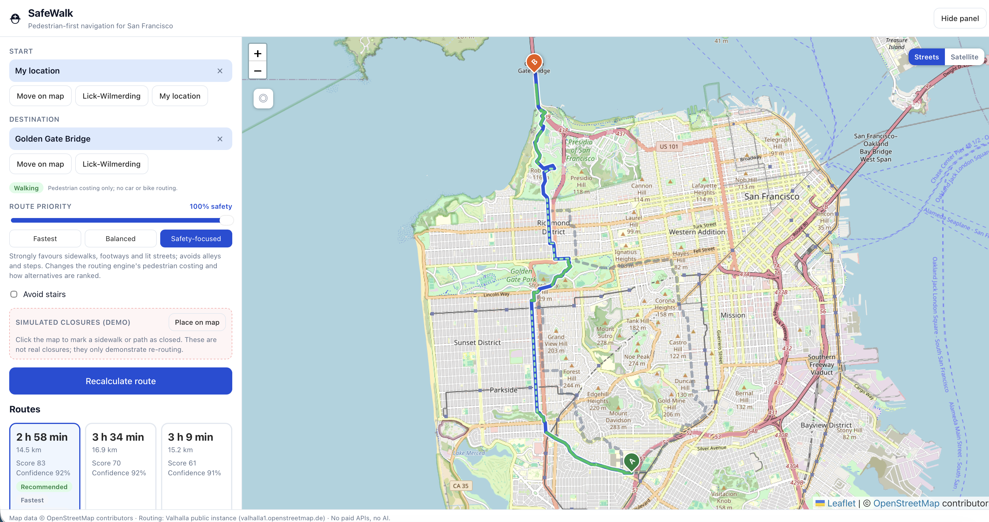
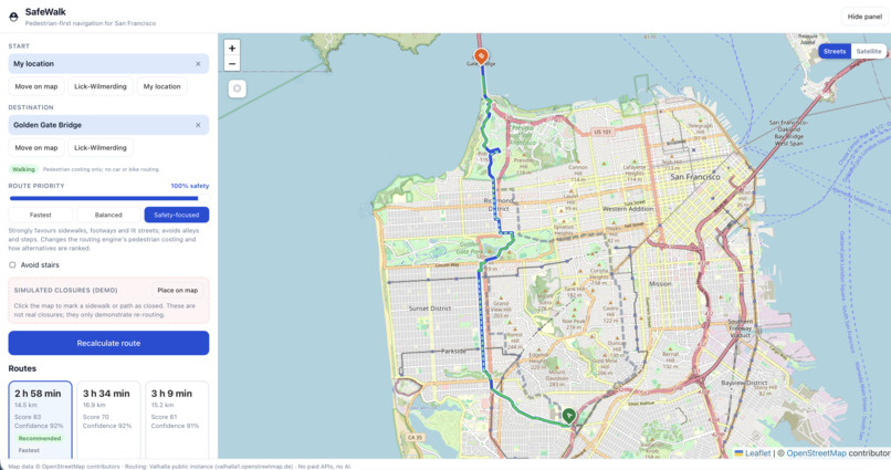
SafeWalk is a pedestrian-first navigation web app for San Francisco, built on real OpenStreetMap data and real walking routes from the open-source Valhalla engine, starting from one idea: a walking route should tell you where to walk and where to cross, not just draw a line down the middle of the street. It returns up to three real routes, a safety-versus-time slider that genuinely changes the engine's pedestrian costing and re-ranks alternatives with a formula shown on screen, and directions that treat crossings as their own steps ("Cross Ocean Avenue at the signalized crossing"), call out stairs, and state the sidewalk side only when the map geometry supports it, with a green "where to walk" line on mapped sidewalks and plain blue where the data is unknown. An infrastructure score sits beside a separate data-confidence figure so missing data never counts as safe, and live walk mode snaps your GPS fix onto the route, counts down to the next move, speaks sidewalk and crossing cues on-device, and reroutes from where you actually are if you drift, without your location trace ever leaving the phone. Built in TypeScript, React, Vite, and Leaflet at zero recurring cost with no API keys and no AI model, it is backed by 70 unit tests and a live validation suite of seven real San Francisco routes; along the way we discovered the routing engine's sidewalk flag isn't relative to the walker and replaced it with geometry-based methods, added a guard against routes snapped 20 km away, and designed the whole app to degrade honestly when public OSM services go down. Next up: a self-hosted router, importing San Francisco's open sidewalk data and contributing tags back to OpenStreetMap, an accessibility mode with curb-ramp data, and real walk-testing around Lick-Wilmerding High School.

Log in or sign up for Devpost to join the conversation.