Devpost
Participate in our public hackathons
Devpost for Teams
Access your company's private hackathons
Grow your developer ecosystem and promote your platform
Drive innovation, collaboration, and retention within your organization
By use case
Blog
Insights into hackathon planning and participation
Customer stories
Inspiration from peers and other industry leaders
Planning guides
Best practices for planning online and in-person hackathons
Webinars & events
Upcoming events and on-demand recordings
Help desk
Common questions and support documentation
Sort by:
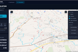
A JKUAT Digital Twin uses GIS, remote sensing and simulation to ask: What is happening, why, and what could happen next?
Helping families find the people they love.
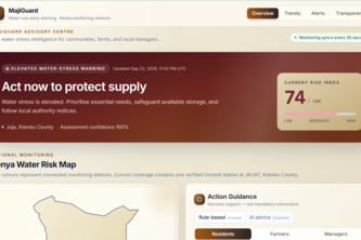
turns raw environmental observations from the official Conduit@Empathy station (JKUAT, Kiambu, Kenya) into clear, explainable, and prudent action advice
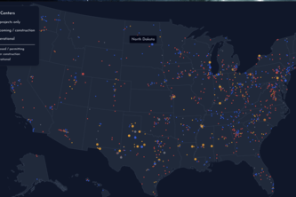
Fighting back against datacenters being built in low-income residential areas
Estes turns local waste — eucalyptus, coffee husk, rice husk — into sensors, filters, and scientific evidence. Open source platform for environmental citizenship.
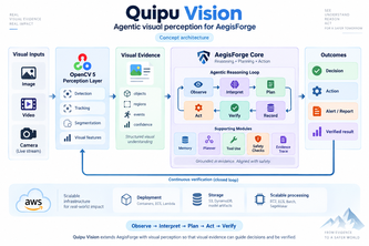
Giving AegisForge visual perception to understand scenes, make decisions, and verify outcomes.
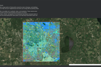
Ever in a panic due to the sky being blanketed in smoke due to a wild fires. Well no longer do you need to be scared as Emergency gainsville lists all emergencies in gainsville and their locations.
An adaptation of the textbook 2 curriculum, specifically the lesson on using the Random Forest model with GLOBE data and Satellite Embeddings.
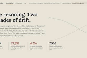
Equity Atlas reveals how enrollment, funding, staffing, and school choice shape opportunity across Alachua County—making inequities visible and helping East Gainesville advocate for change.
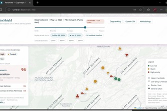
Move a rain slider and see which Cuajimalpa neighborhoods to prioritize for floods and landslides.
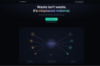
MaterialFlow connects industrial waste with companies that can reuse it, using intelligent matching based on material, quantity, quality, location, cost, and environmental impact.
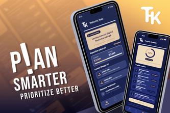
Takt analyzes competition requirements, workload, and your calendar to show what’s feasible and help you choose which competitions are worth entering.
Genie checks broken links on FCI's Resource Map so a dead website doesn't get mistaken for a closed food pantry.
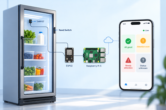
CommunityChill monitors temperature, door status, and connectivity so Gainesville Community Fridge volunteers know when the fridge needs attention, even when no one is there.
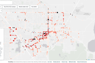
Ranking every Gainesville bus stop by heat, so shade goes where it's needed most.
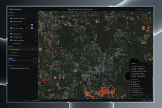
Satellite embedding change detection for community science prioritization: improving the modeling utility of NASA GLOBE Observer data in Alachua County, Florida
**An autonomous AI workforce that turns surplus food into coordinated rescue missions—reducing food waste, feeding communities, and measuring environmental impact.**
FairRoute reveals whether essential services are actually reachable rather than "nearby" and helps communities plan investments that improve access for the people most often left out.
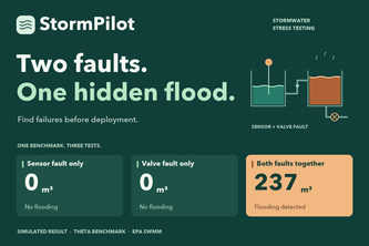
Find the flood that single-fault tests miss. StormPilot uses real hydraulic simulations to expose combined failures, test proposed fixes, and deliver replayable evidence.
Invisible Gas. Visible Record.
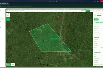
FarmTwin combines weather, satellite, soil, terrain, and climate data to create a digital twin of a farm and turn complex environmental data into practical crop and risk decisions.
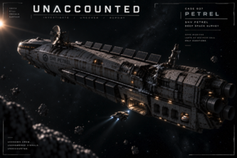
An AI-agent-driven sci-fi investigation game where AI interprets player intent while a deterministic engine controls evidence, truth, and outcomes.
Why is our observation needed? This interactive map reveals current blind spots, empowers the public to start observing, and highlights UF GeoDI's ongoing research on critical climate health risks.
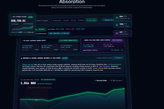
Autonomous quantitative trading engine with VIX macro gating, Tri-Agent consensus, and Alpaca atomic bracket routing to insulate momentum portfolios.