-
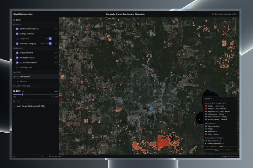
App Landing
-
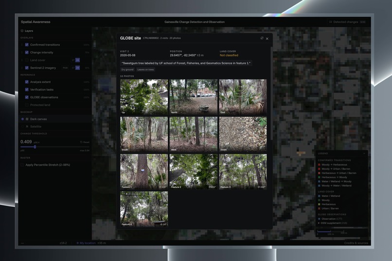
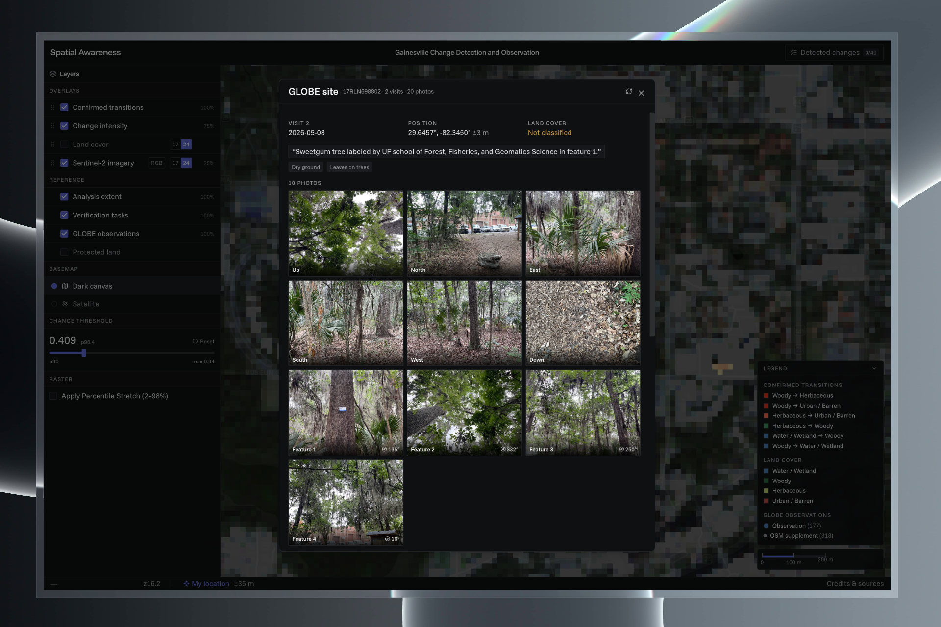
Embedded GLOBE data at a point.
-
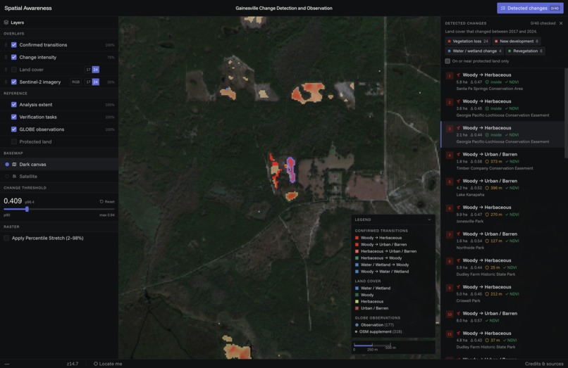
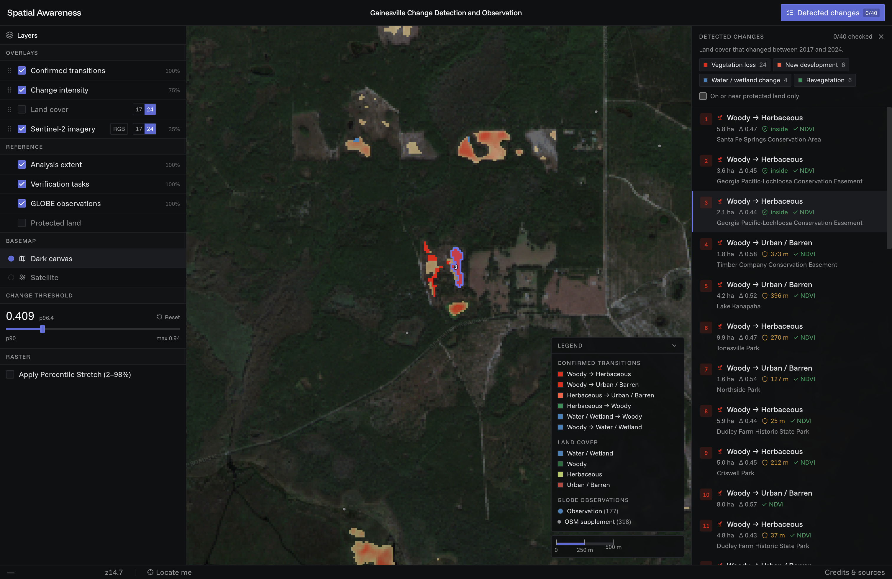
Selected area with change detected
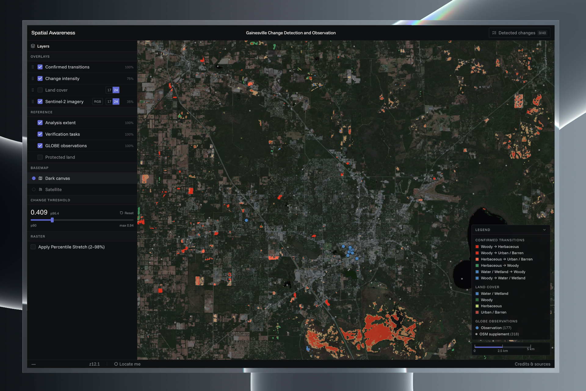
Inspiration
Alachua County is changing, and most of that change goes unrecorded until someone happens to notice it. The goal was to find where land cover changed, rank the sites that matter, and hand them to people as tasks they can go out and check. GLOBE Observer already has volunteers doing that kind of fieldwork, but there is no local list telling them where to go. Satellites can build that list. Once a site is confirmed on the ground, scientists and land managers have something they can act on.
What it does
It compares Alachua County in 2017 to 2024 and produces a ranked list of 40 places where the land actually changed, including what it was, what it is now, how big, and whether it sits inside a conservation area. The top result is 5.8 hectares of woody cover lost inside Santa Fe Springs Conservation Area.
The map has a threshold slider, a year toggle, and click-to-zoom on any site.
How it was built
The core is Google's AlphaEarth embeddings. Every 10m pixel gets 64 numbers describing a year of satellite observation, normalized to length 1. Comparing two years is just the angle between two vectors:
$$\text{change} = 1 - \cos(e_{2017}, e_{2024}) = 1 - \sum_{i=0}^{63} e_{2017,i} \cdot e_{2024,i}$$
That gives you where something changed but not what. For that, the method comes from EMERGE Textbook 2, Chapter 5 Lesson 1. Sample embeddings at ground observation points, train a Random Forest on all 64 bands, classify the region. Run it on both years and you get "was woody, now bare."
The two get combined: a pixel counts as real change only if the embedding moved a lot AND the class flipped AND the classifier was confident both years AND the patch is at least a hectare. That takes 3.6 million pixels down to 113 patches.
Everything runs from one script with no account or API key. Python, GDAL and scikit-learn for the pipeline. React and OpenLayers for the map, reading Cloud-Optimized GeoTIFFs directly, so the whole thing is static files.
Challenges
No Earth Engine account. The curriculum lesson reads AlphaEarth from Earth Engine, which needs an approved account. The same data is published as COGs on Source Cooperative, which works anonymously.
- The files are stored bottom-up, so reading them directly gives vertically flipped data.
- The values are 8-bit integers that need decoding before any math.
- Both failures are silent. The numbers look fine and are wrong.
Swamp is not water. Sampling OpenStreetMap wetland polygons for water labels made the model call 22% of the county water.
- 2,727 of 3,776 wetland polygons in north Florida are tagged
swamp, which here means cypress forest. - The model had been taught that closed tree canopy was water.
landuse=residentialbroke the same way. Gainesville suburbs are full of trees, so using them as urban examples taught the model that canopy is urban.
Paynes Prairie kept winning. A wet prairie that floods and dries lights up the change map at 2.2x the county average.
- Ranked by magnitude, the top conservation alert in the county was a wetland being wet.
- Fix: type every change by category (vegetation loss, development, revegetation, hydrologic) and rank by type first.
- It still appears, labeled as hydrology, just not at the top.
Most class changes were noise. 16.5% of pixels changed class between the two years.
- The tell was symmetry: 81,038 pixels went herbaceous→woody, 92,096 went woody→herbaceous.
- Equal traffic both ways across a class boundary is the classifier being unsure, not land changing.
- Fix: require the embedding distance to agree before anything counts.
What was learned
Cosine similarity is simpler than expected. Once vectors are normalized, "how much did this place change" is one dot product, with no training and no parameters.
Land use is not land cover. OpenStreetMap tags what a parcel is for; GLOBE records what's physically there. The model gets 0.896 accuracy on OpenStreetMap points and 0.628 on GLOBE points, which is a real gap.
Checking the work mattered more than expected. The change categories were validated against NDVI from Sentinel-2, which shares no inputs with the embeddings or the classifier. 95 out of 95 moved in the predicted direction.
What's next
Use all years from 2017–2025 instead of two endpoints, to separate a step change from slow drift. And go visit some of the 40 sites. Nobody has confirmed one on the ground yet, which is the entire point.

Log in or sign up for Devpost to join the conversation.