Devpost
Participate in our public hackathons
Devpost for Teams
Access your company's private hackathons
Grow your developer ecosystem and promote your platform
Drive innovation, collaboration, and retention within your organization
By use case
Blog
Insights into hackathon planning and participation
Customer stories
Inspiration from peers and other industry leaders
Planning guides
Best practices for planning online and in-person hackathons
Webinars & events
Upcoming events and on-demand recordings
Help desk
Common questions and support documentation
Sort by:
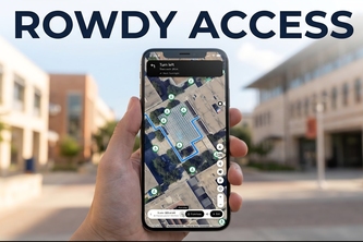
Accessible walking directions for UTSA's two campuses: community-mapped ramps and barriers, AI photo detection, and step-free voice navigation.
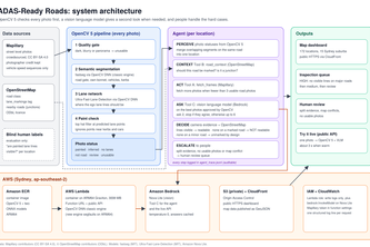
An agent that checks whether car cameras can see the lane lines on Sydney's roads, using crowdsourced photos, OpenCV 5 and AWS.
Right turn. Right time.
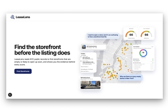
LeaseLens helps small business owners find storefronts that are likely to open up and see why they're a good fit before they're gone, by analyzing NYC public records.
Photograph a real place, draw your version over it, and pin it to a personal globe. See how other people drew the same wall, with a reference panel for when you're stuck.
When a new building is proposed, people usually see a flat rendering and have to imagine how it fits. Waypoint lets you delete a real building, drop in a 3D model, and see it from any angle.
Scorched Nebraska transforms real buildings into AI-generated post-apocalyptic 3D models and places them back on a shared interactive map at their exact real-world locations.
Take the scenic route. Three walking routes for the time you have: greener, quieter, shadier, or genuinely accessible, from a router that never guesses about your body.
The change layer for city streets. Chronos pairs street photos taken years apart, uses AI to verify what changed, and maps the small, durable decay no one else records.
An AI hides in the real world. You explore, guess, and track it down using visual clues. Can you find Cipher before it outsmarts you?
Sidewalk Analyzer detects sidewalks from Mapillary images and extracts their conditions. It uses Twelvelabs Pegasus to summarize any issues found in sidewalk quality. It shows results on a website
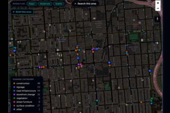
Citizens snap a photo of a city issue — AI classifies it instantly, clusters hotspots on a live map, and generates council briefings. Every phone becomes a smart city sensor.
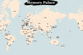
We turn maps into living archives where people pin memories, emotions, and cultural stories to places, preserving lived experience and heritage for future generations.
Feel Safe with Zenvoy
Your GPS, but unhinged. SigMaps gives street-level visuals for clear directions, perfect for anyone who struggles with maps. Less guessing, more exploring!
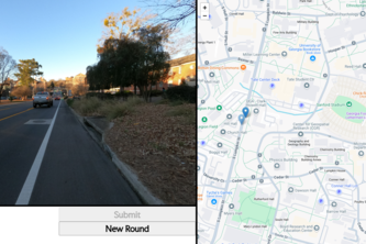
You know the game Geoguessr? Well, this is that but in a local area. It is UGeoguessor. Use your knowledge of the UGA campus to pick out the points from pictures. I am Bret Jones and I made this alone
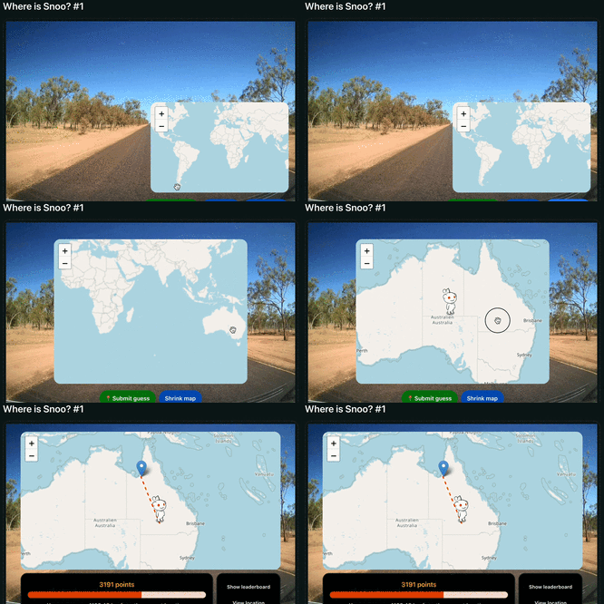
Every day, Snoo travels to a mystery location somewhere in the world, and it’s up to you to figure out: Where is Snoo?
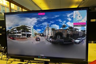
Humans go head to head against AI. Who will win? Will you dare to beat AI?
Take a shot, fight to build your empire and contribute to the digital earth!
OSMosis is a groundbreaking app that makes fixing OpenStreetMap issues with gamification and machine learning fun.
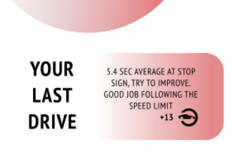
Mobile app with a currency that is rewarded for good and safe driving habits.