Inspiration
Trevor Rainbolt videos. Geography. Map APIs.
What it does
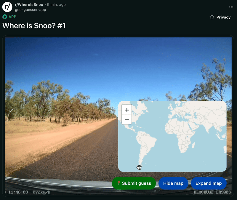
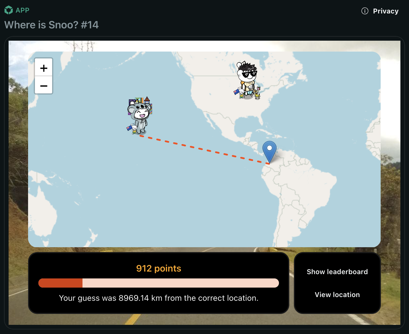
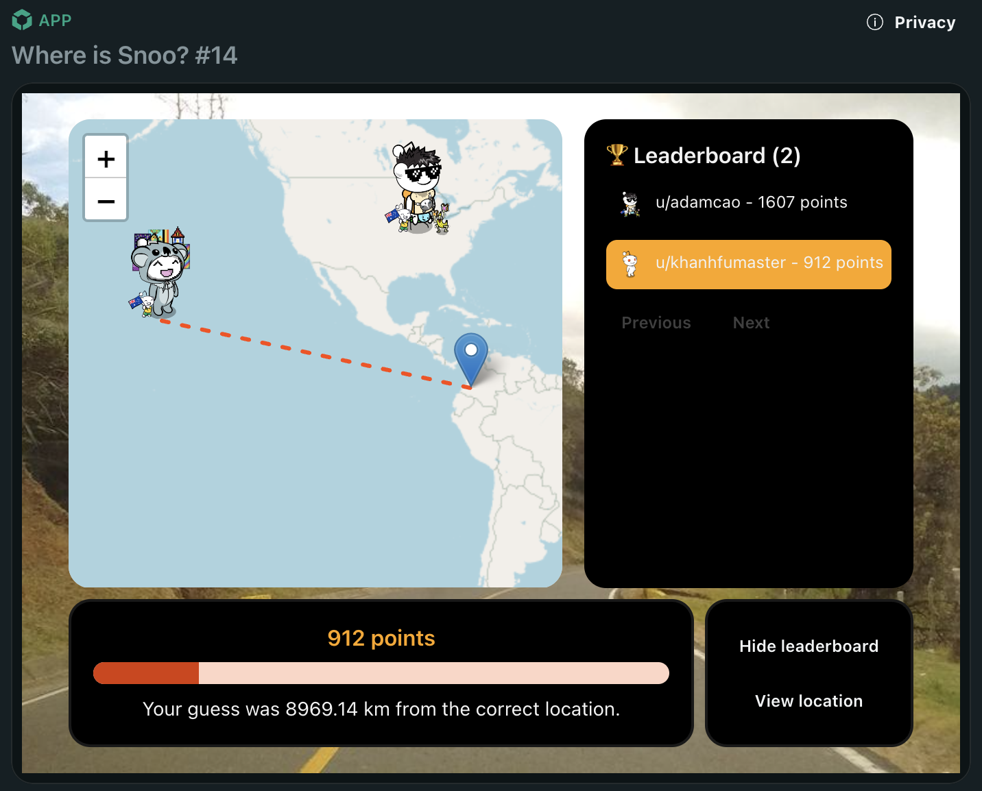
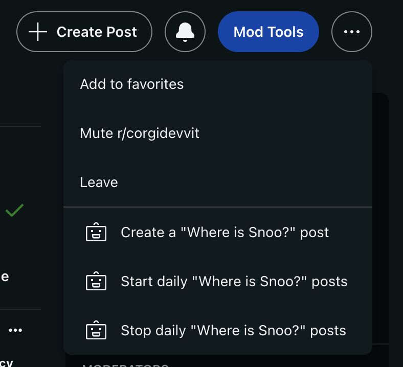
A "Where is Snoo?" post is generated daily on r/WhereIsSnoo. Each post features a random street view image. Redditors can use an interactive map to drop their Snoo where they think the location is and earn points based on their accuracy.
How we built it
- Mapillary API: Used for sourcing street view images and coordinates.
- Leaflet.js: Implemented for a lightweight map component.
- OpenStreetMap: Provided map layers and tiles.
- Plain ol' JavaScript and HTML: I didn't have time to setup a React or Svelte app for the webview
Challenges I faced
Webviews have strict Content Security Policies (CSPs), which made loading and rendering map tiles a challenge.
Getting domains allow listed for the fetch API took a few days and I lost a weekend to work on this project. Mostly my fault for deciding on things last minute though!
Accomplishments I'm proud of
Despite limited time—traveling for three weeks (visited my mum in Sydney and took her to Tokyo!) and being on-call during the final week—I managed to dedicate about 12 hours to the app and am quite pleased with the results despite the spaghetti code.
What's next for Where is Snoo?
I plan to continue development during weekends. Future enhancements include:
- Creating a pinned post to display a global/subreddit leaderboard that aggregates points from all posts.
- Enabling users to explore in Street View mode for additional clues—a feature that’s technically feasible but wasn’t implemented due to time constraints.


Log in or sign up for Devpost to join the conversation.