Inspiration
Cities generate thousands of civic problems every day, but the people who experience them are often disconnected from the systems that need to understand them.
A citizen sees a pothole. Someone else sees an overflowing drain. Another person reports damaged infrastructure. These observations contain valuable information, but when they remain isolated complaints, the larger picture of what is happening across a city can remain hidden.
We asked:
What if every citizen could become a sensor for their city?
That question became CivicAI.
We built CivicAI as a multimodal urban intelligence platform for Lahore that transforms citizen observations — images, descriptions, and locations — into structured civic information that can be analyzed geographically.
Instead of building another complaint form, we wanted to build an intelligence layer around civic reporting:
See a problem → Report it → Understand it → Locate it → Connect related reports → Measure its impact → See the bigger picture.
Our vision is simple:
Give every citizen a way to turn what they see into intelligence about their city.
What it does
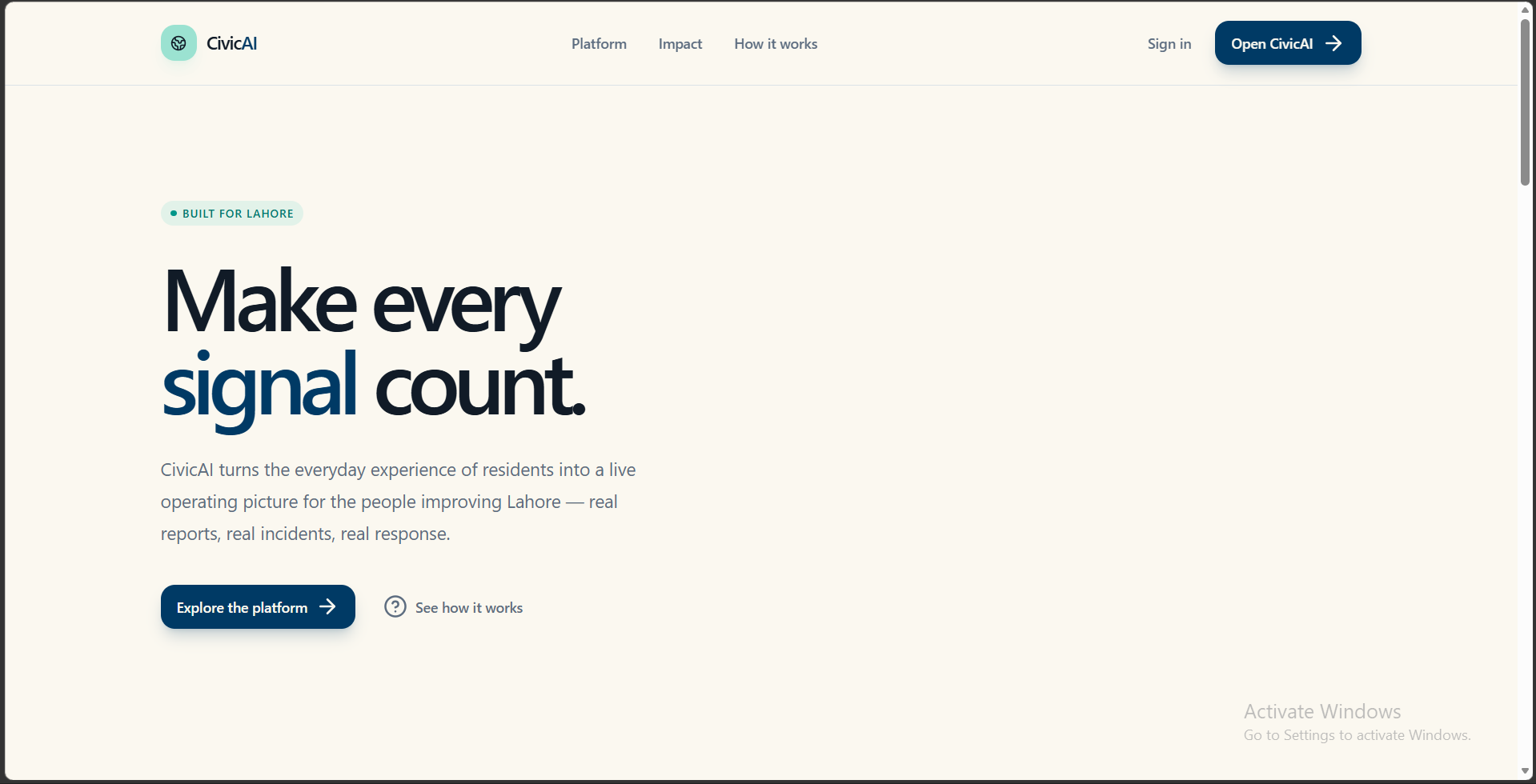
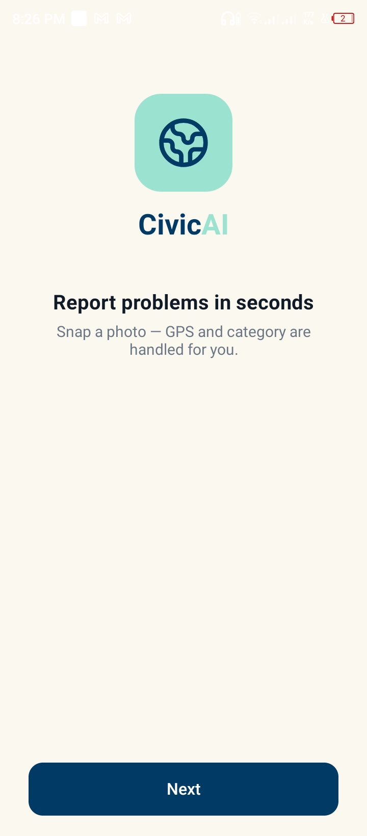
CivicAI is a multimodal AI-powered civic intelligence platform for Lahore, built around a native Android application and a web dashboard.
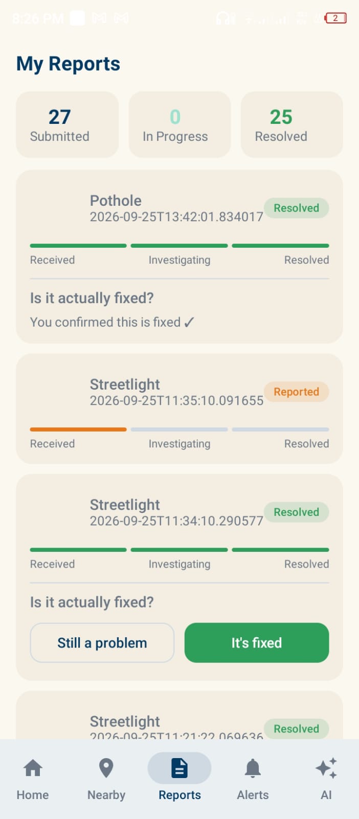
Citizens can report real-world civic problems using images, descriptions, and location. CivicAI processes these reports using AI and geographic intelligence to transform individual observations into structured information about the city.
Citizen Reporting
Through the Android application, citizens can:
- Capture images of civic problems
- Add descriptions
- Capture their location
- Submit location-aware civic reports
This makes the citizen the starting point of the intelligence pipeline.
AI-Powered Civic Understanding
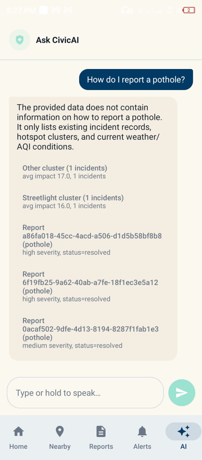
CivicAI processes citizen-provided information using AI to extract meaningful information about reported civic issues.
Instead of leaving a report as an unstructured image and description, the system transforms it into structured civic information that can be analyzed by the rest of the platform.
Geographic Intelligence
Location is a core part of CivicAI.
The system uses geographic coordinates to understand relationships between incidents and identify reports that are geographically close to one another.
This addresses an important real-world problem:
Multiple citizens can report the same physical problem.
CivicAI uses geographic proximity to identify potentially related incidents instead of blindly treating every report as an entirely independent problem.
Impact Scoring
CivicAI provides a 0–100 impact score for incidents, creating a standardized signal that can be used throughout the platform to represent the potential significance of civic problems.
Lahore Urban Intelligence
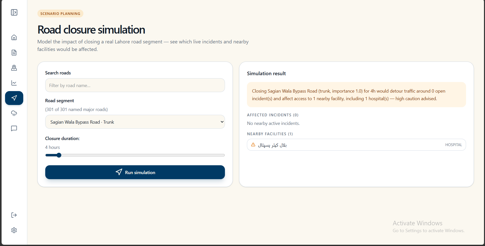
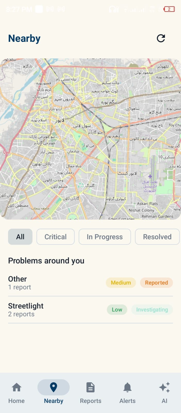
CivicAI places incidents into a geographic context using Lahore-focused geographic information, including roads and public facilities derived from OpenStreetMap data.
This allows civic incidents to be viewed together with their surrounding urban environment.
Civic Hotspots
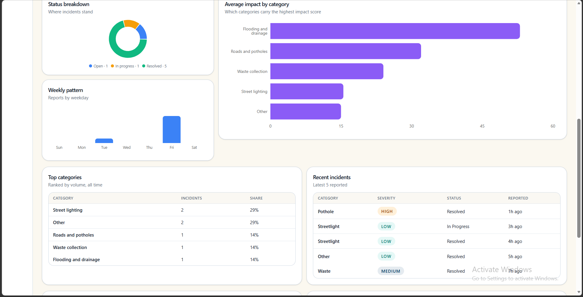
Because civic incidents contain geographic information, CivicAI can identify areas where problems are concentrated.
This moves the platform beyond:
"Where was this complaint submitted?"
toward:
"Where are civic problems concentrating across the city?"
Web Dashboard
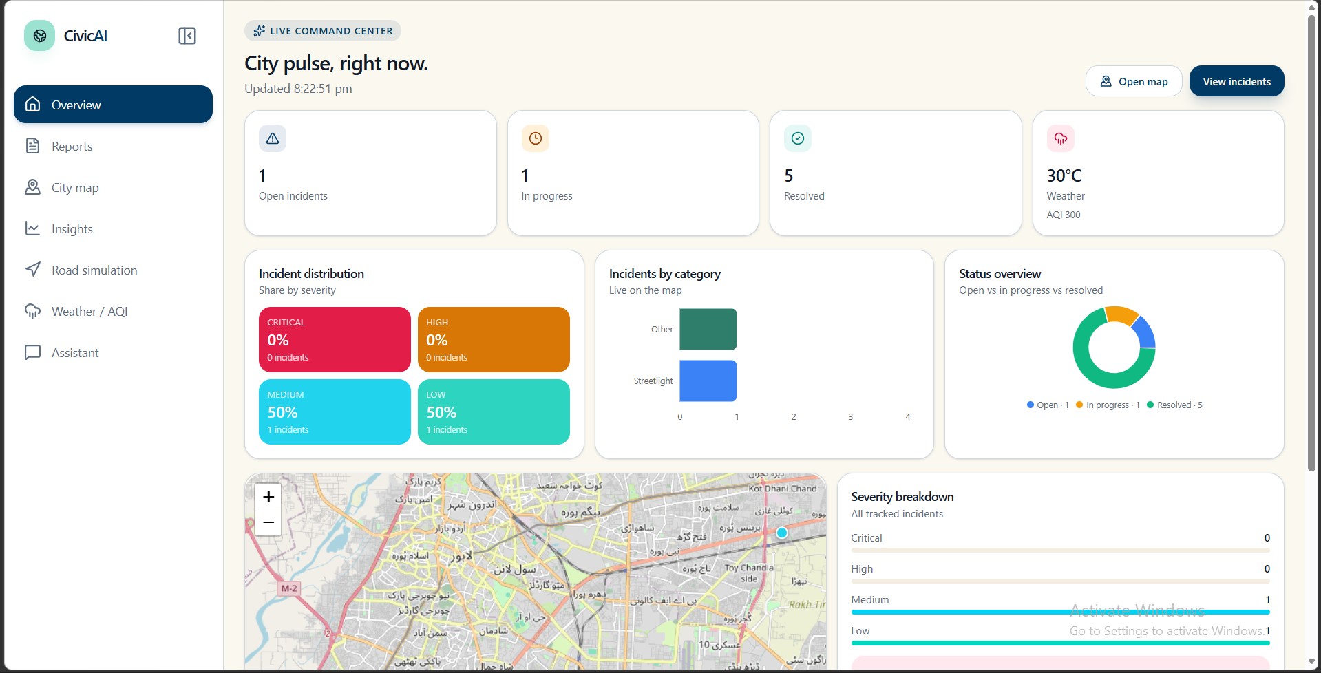
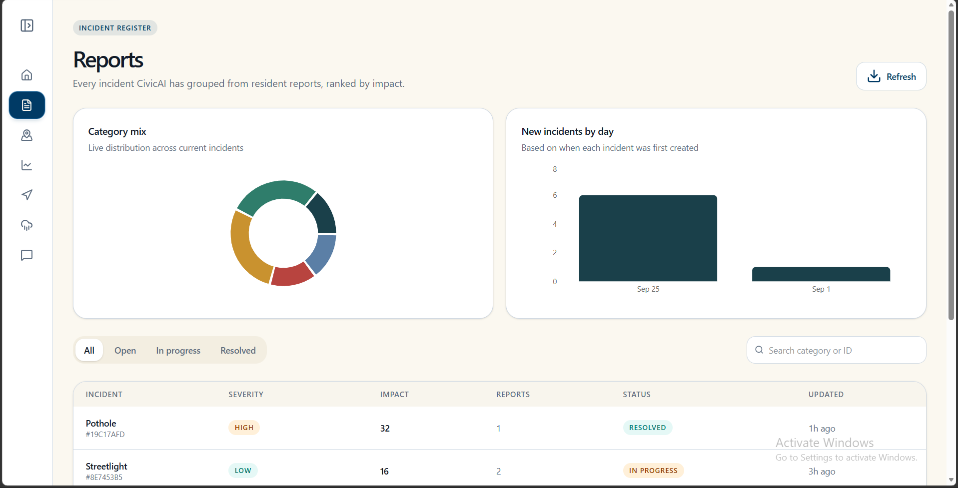
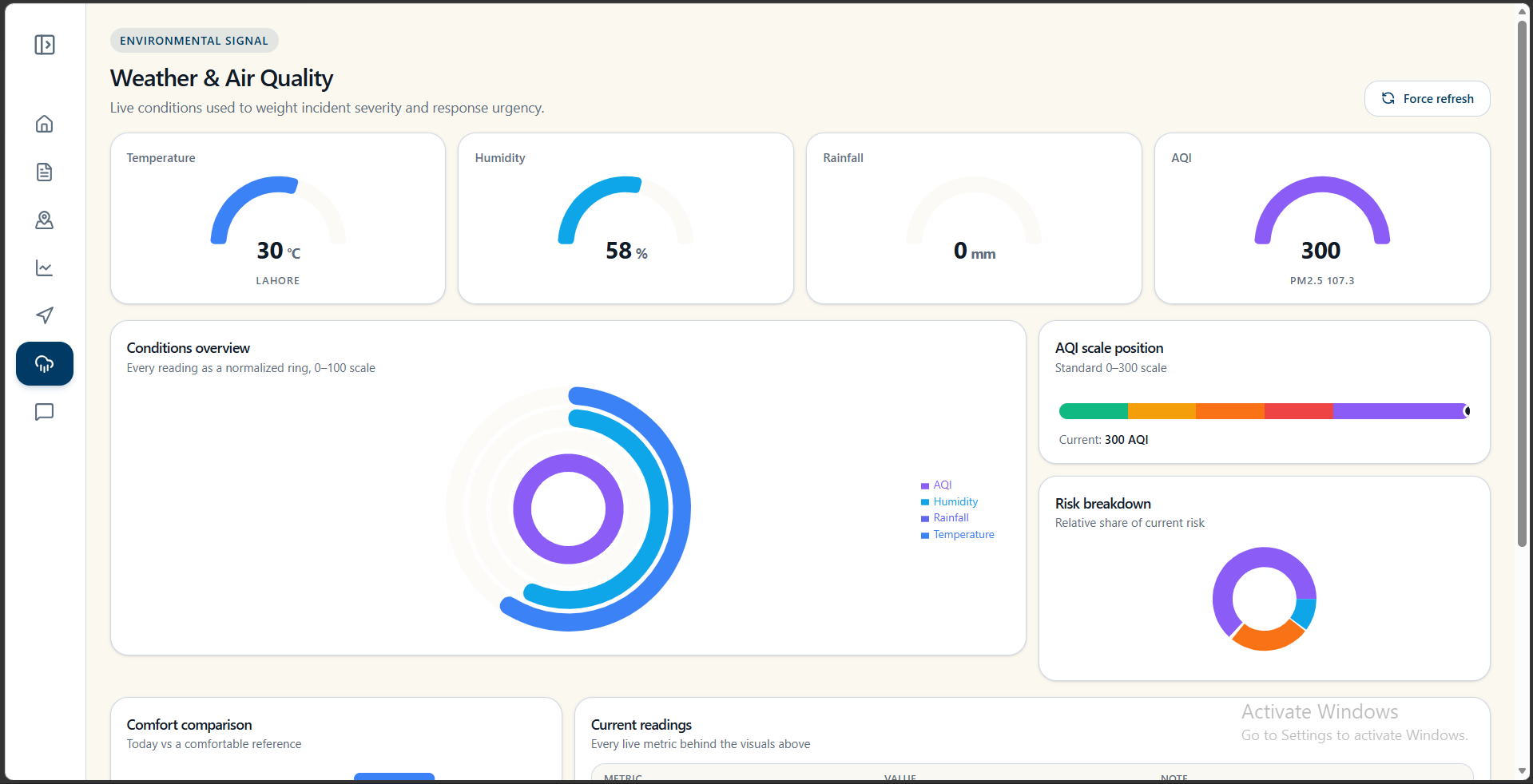
The web dashboard provides a broader interface for viewing civic incidents, geographic information, patterns, and the intelligence generated by the platform.
End-to-End Platform
The overall CivicAI pipeline connects:
Citizen → Android/Web → AI Processing → Geographic Intelligence → Database → Dashboard
This creates a complete civic intelligence workflow rather than a standalone reporting form.
How we built it
CivicAI was designed as a complete full-stack system connecting mobile reporting, web visualization, AI processing, geographic analysis, persistent storage, and cloud deployment.
Android Application
The native Android application was built using:
- Kotlin
- Jetpack Compose
- Retrofit
- OSMDroid
- DataStore
The Android application provides the citizen-facing reporting experience and communicates with the production backend through APIs.
Web Application
The web application provides the dashboard and visualization layer.
It communicates with the same backend ecosystem used by the Android application, allowing citizen-generated information to flow into the broader CivicAI platform.
Backend
The central backend is built with FastAPI and asynchronous Python services.
It connects:
- Client applications
- AI processing
- Geographic processing
- PostgreSQL
- Media storage
- Civic incident processing
Database
PostgreSQL provides persistent storage for the structured information generated throughout the civic reporting and processing pipeline.
Media Storage
Citizen-uploaded media is stored using Cloudflare R2, allowing large media objects to be handled separately from relational application data.
AI Processing
AI is integrated directly into the civic-report processing pipeline.
It helps transform citizen-provided information into structured civic intelligence that can subsequently be combined with geographic and database information.
Geographic Processing
CivicAI uses latitude and longitude information to perform distance-based analysis.
This enables the system to reason about:
- Nearby reports
- Potential duplicate incidents
- Geographic concentrations
- Spatial relationships between civic problems
Geographic Data
The platform incorporates Lahore-focused geographic information, including roads and public facilities derived from OpenStreetMap, providing additional context around reported civic incidents.
Deployment
The platform is deployed using:
- Vercel — web application
- Render — backend
- PostgreSQL — persistent data
- Cloudflare R2 — media storage
The Android application communicates with the same backend ecosystem, creating one connected platform across mobile and web.
Challenges we ran into
Turning citizen observations into structured intelligence
Citizens do not submit clean database records. They provide images, natural-language descriptions, and locations.
Our challenge was transforming this real-world, unstructured input into information that the rest of the system could understand and analyze.
Solving the duplicate-reporting problem
A major challenge was recognizing that multiple reports can represent the same physical problem.
If 20 citizens report the same pothole, a conventional complaint system could represent that as 20 separate problems.
CivicAI therefore incorporates geographic proximity into its incident analysis to identify potentially related reports.
Making location computationally useful
We did not want GPS to be just a pin displayed on a map.
We used geographic relationships to help determine whether incidents are nearby, whether reports may refer to the same problem, and where civic issues are concentrated.
Connecting AI with real software systems
The challenge was not simply integrating an AI model.
We had to connect:
AI + APIs + Database + Mobile + Web + Maps + Storage + Deployment
into one coherent system.
Building for both mobile and web
The Android application and web dashboard needed to communicate with the same backend while serving very different user experiences.
This created challenges around API contracts, image uploads, location handling, application state, and network communication.
Working with geographic information
Adding Lahore-specific roads and public-facility information required us to work with geographic datasets and connect them meaningfully with citizen-generated incidents.
Deploying the complete system
Getting individual components working locally was only one part of the challenge.
We had to connect:
Vercel + Render + PostgreSQL + Cloudflare R2 + AI services + Android
into one working production ecosystem.
Accomplishments that we're proud of
We are proud that CivicAI became a complete urban intelligence platform rather than another complaint form.
We connected the complete civic intelligence pipeline
Citizen
↓
Android / Web
↓
Image + Description + Location
↓
AI Processing
↓
Incident Intelligence
↓
Geographic Analysis
↓
Impact Score
↓
PostgreSQL + Cloud Storage
↓
Web Dashboard
We built multimodal civic reporting
CivicAI combines:
Vision + Text + Location
to understand civic reports from multiple forms of citizen-provided information.
We built geographic duplicate intelligence
CivicAI recognizes that multiple reports can correspond to the same real-world problem and uses geographic proximity to identify potentially related incidents.
We created an impact signal
The 0–100 impact score provides a standardized signal for representing the potential significance of reported incidents.
We turned individual reports into geographic intelligence
Instead of treating every report as an isolated complaint, CivicAI uses location to reveal relationships and concentrations between civic problems.
We built both mobile and web experiences
CivicAI provides a native Android application for citizen reporting and a web dashboard for broader visualization and analysis.
We built a complete connected architecture
The project brings together:
Android + Web + FastAPI + PostgreSQL + AI + Geospatial Processing + Cloudflare R2 + Vercel + Render
into one end-to-end system.
Most importantly, we are proud of the core idea:
A citizen should not need to understand data science to contribute valuable data to their city.
CivicAI turns ordinary observations into structured information that an urban intelligence system can understand.
What we learned
CivicAI taught us that AI becomes much more valuable when it is connected to the real world.
A model identifying a pothole is useful.
But a system that can understand:
what the problem is + where it is + whether similar reports exist nearby + what infrastructure surrounds it + how significant it may be
is much closer to meaningful civic intelligence.
We learned that geographic data can become a computational signal rather than simply something displayed on a map.
We learned how to combine multimodal inputs with traditional backend engineering.
We learned that building an AI product requires much more than an AI model:
AI + Data + APIs + Databases + Mobile + Web + Storage + Deployment
all have to work together.
We also learned how different interfaces can contribute to the same intelligence system: the Android application captures information from the physical world, while the web dashboard turns that information into a broader view of the city.
Most importantly, we learned how to take an AI idea and turn it into an end-to-end deployed product.
What's next for CivicAI — Lahore's Urban Intelligence Platform
CivicAI currently provides the foundation for collecting, understanding, mapping, and analyzing civic incidents.
Our next goal is to make that intelligence deeper, more persistent, and more useful at city scale.
Future development includes:
- Stronger offline-first capabilities for the Android application
- More comprehensive Lahore geographic datasets
- Improved relationships between incidents across locations
- Richer historical analysis of civic problems
- More advanced hotspot and geographic-pattern analysis
- Additional AI capabilities for civic understanding
- More powerful civic dashboards and analytics
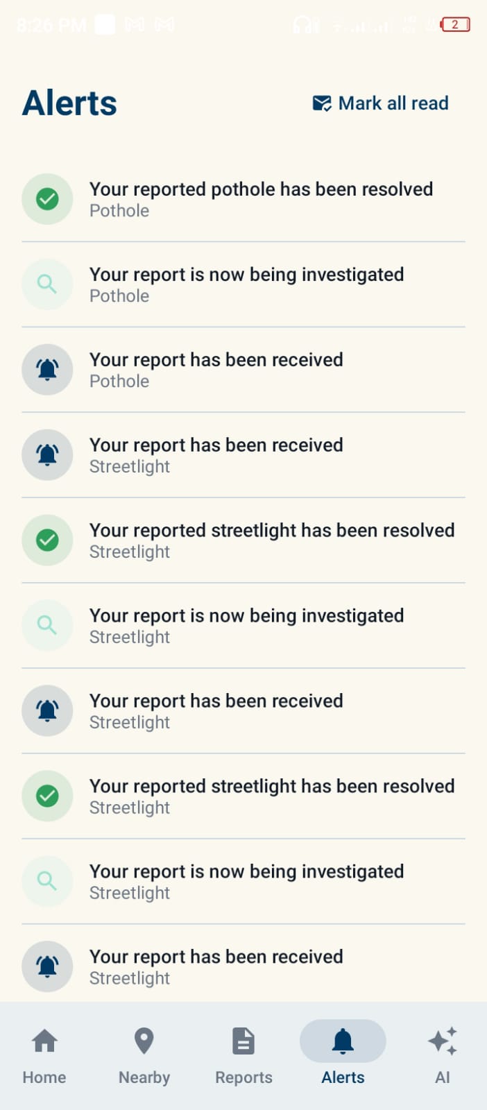
- Real-time civic notifications and alerts
- Broader integration with civic and public-service systems
Our longer-term vision is:
Citizen → Report → AI Understanding → Geographic Intelligence → Civic Insight → Action
We want CivicAI to evolve from a platform that records what citizens report into a platform that helps understand what is happening across the city.
Starting with Lahore, our long-term vision is to create a scalable foundation for civic intelligence that can eventually be adapted to other cities across Pakistan.
CivicAI — turning what citizens see into intelligence for their city.
Built With
- fastapi
- groq
- jetpack-compose
- kotlin
- langchain
- langgraph
- leaflet.js
- neon
- next.js
- openstreetmap
- osmdroid
- postgresql
- python
- react
- render
- retrofit
- sqlalchemy
- tailwind-css
- typescript
- vercel

Log in or sign up for Devpost to join the conversation.