Inspiration
AquaRelay started with a simple question: when someone notices foam, litter, erosion, discoloured water, or another worrying change in their local environment, how can that observation become useful evidence without asking them to be an expert?
Environmental concerns are often reported as isolated posts or lost in scattered messages. We wanted to create a safer, more structured path: one person notices something, the community helps verify it, and reviewers receive a clearer evidence trail to assess. AquaRelay does not diagnose pollution or replace professional testing. It helps people collect observations responsibly and understand what evidence is still missing.
What it does
A participant can submit an observation with a description, category, time, location, optional photos, and safety details. AquaRelay groups compatible observations into an investigation, then uses structured AI assessment to explain what the available evidence supports, what remains uncertain, and what kind of follow-up would be useful.
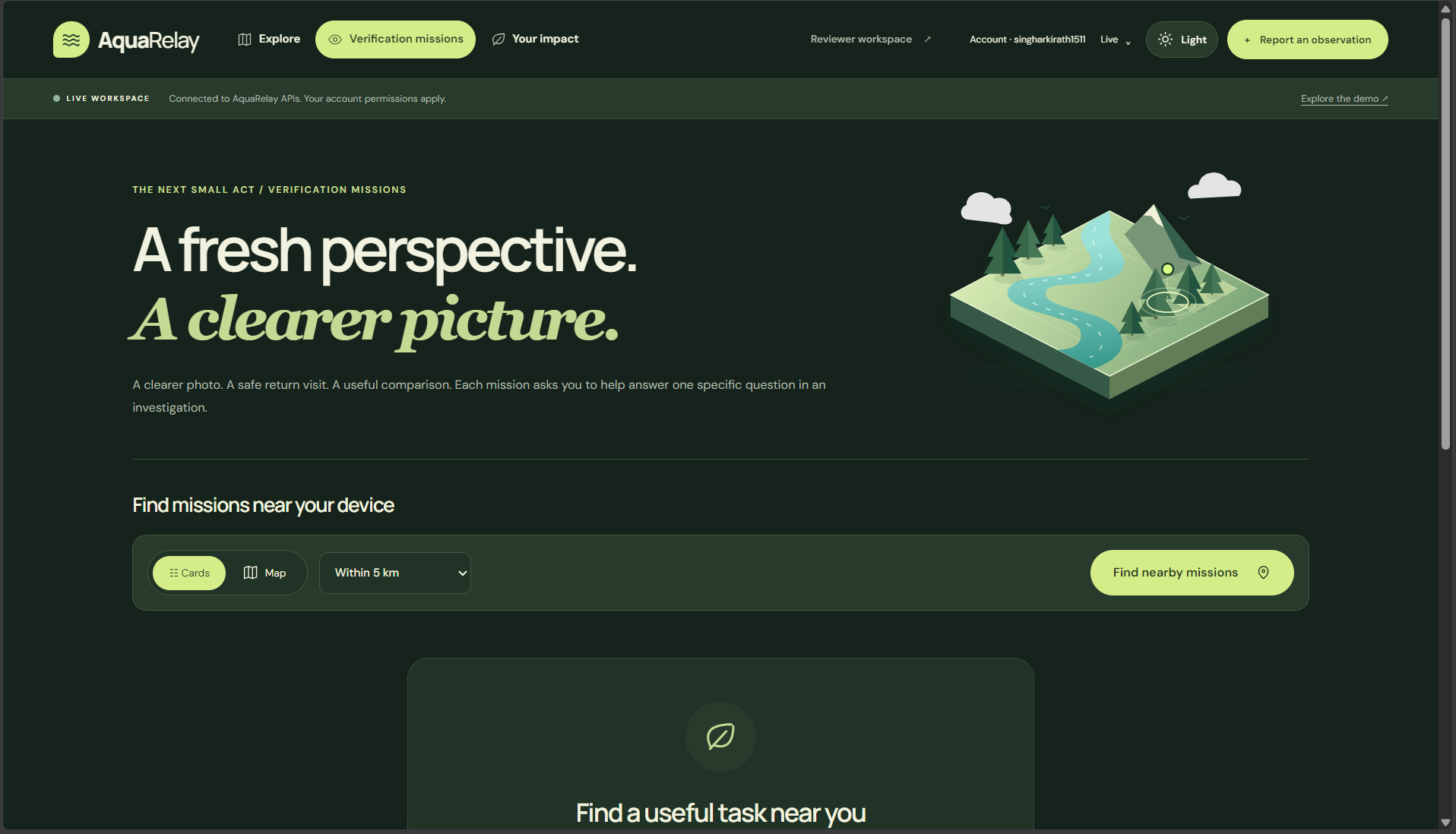
The platform creates verification missions such as taking a clearer photo or making a repeat observation from a safe public viewpoint. Contributions build a transparent timeline, while reviewers can inspect evidence, contradictions, assessment history, and mission results before recording an outcome.
We also built a clear demo mode so the entire journey can be presented without creating real records.
How I built it
AquaRelay uses Next.js, React, and TypeScript for the application, with Supabase for authentication, PostgreSQL, PostGIS, private media storage, and row-level security. Zod validates inputs at the API boundary, while the AI assessment layer uses structured output and strict rules around what it may say.
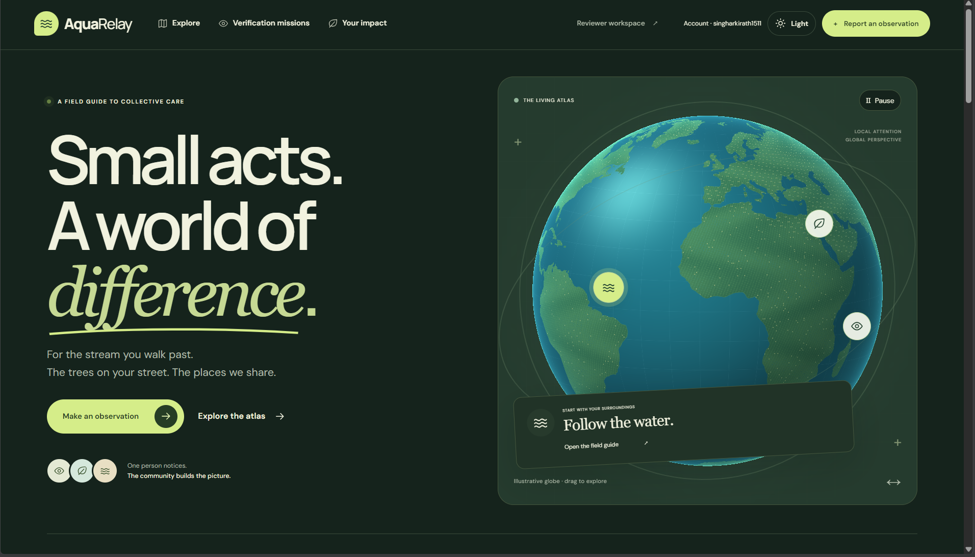
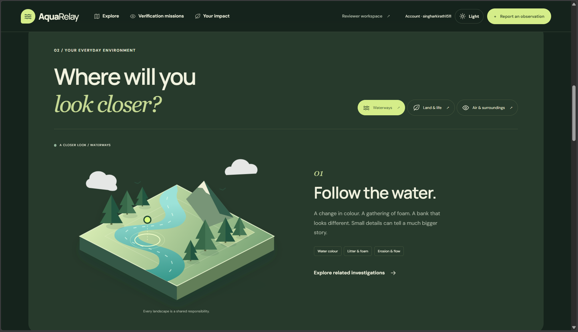
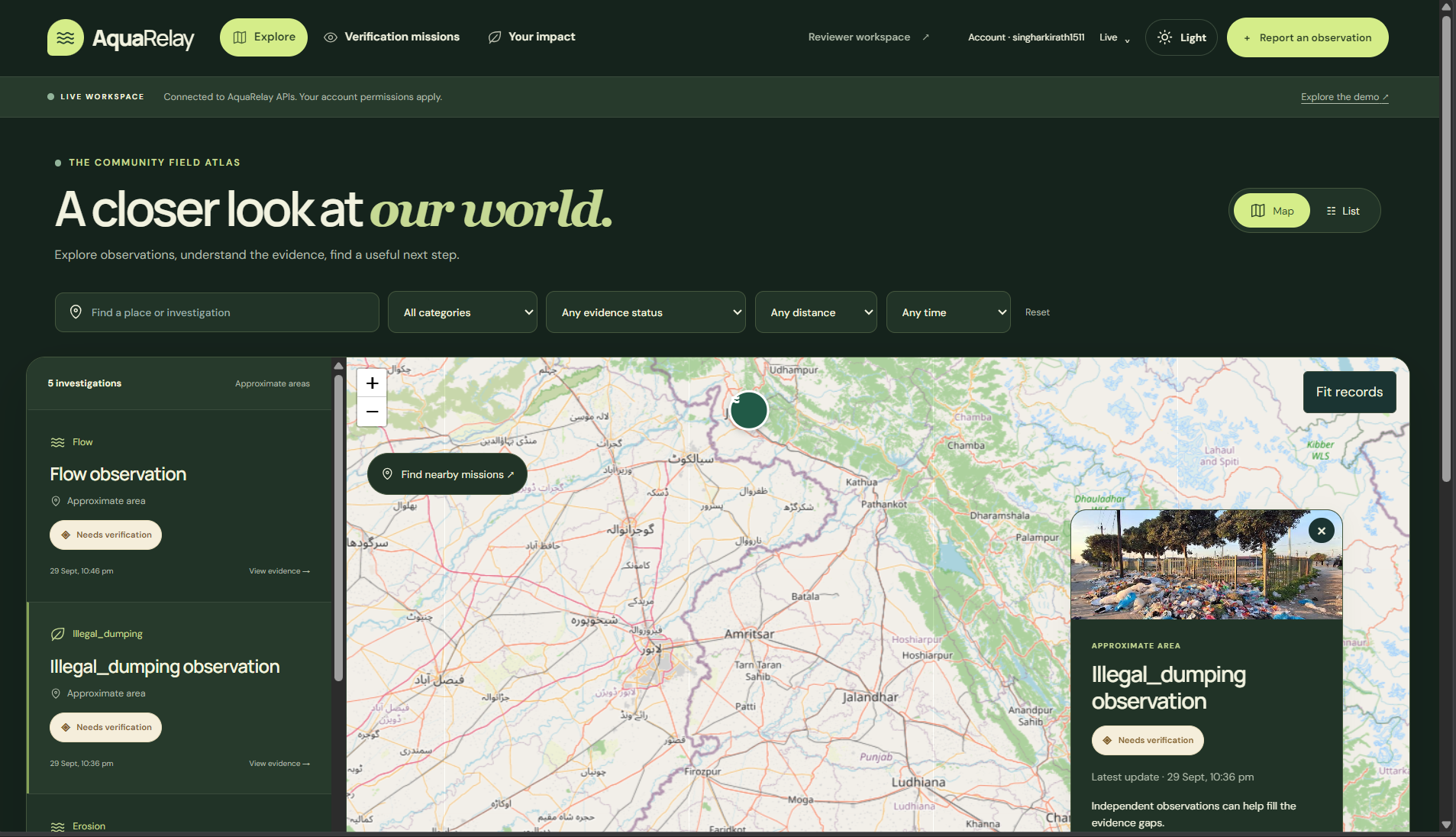
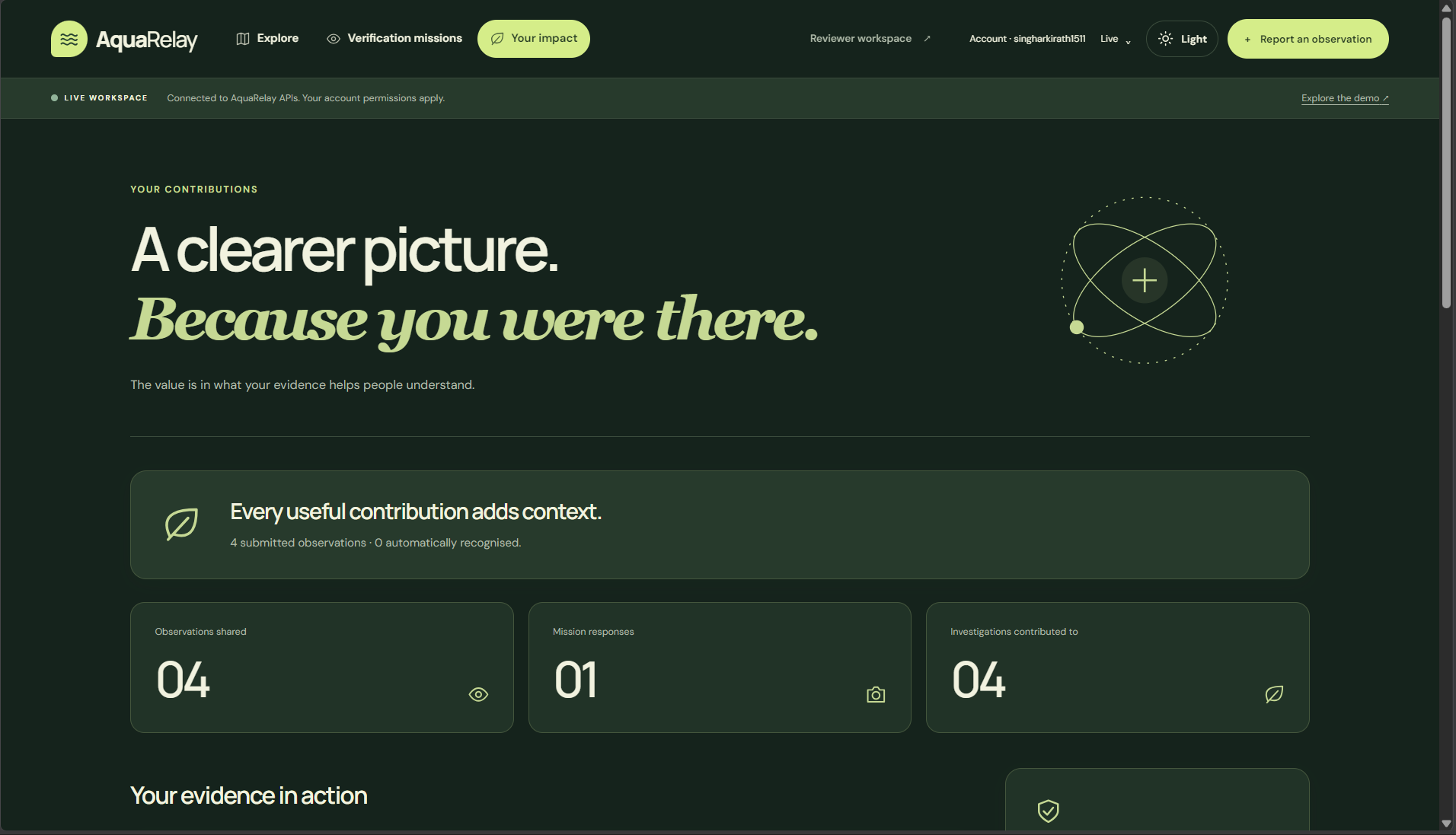
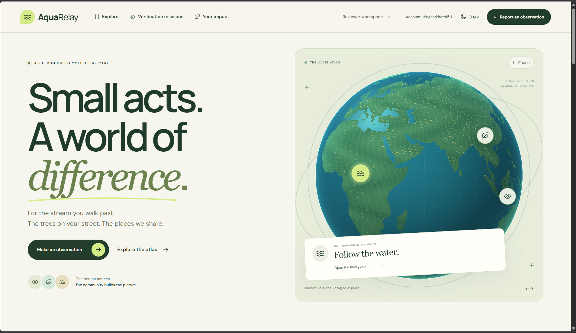
The user experience includes an interactive globe, map-based investigation explorer, guided report form, verification missions, impact history, and reviewer workspace. I redesigned the visual identity around a living atlas: warm natural colours, large editorial type, animated environmental illustrations, responsive layouts, dark mode, and reduced-motion support.
Privacy and safety
Location privacy became one of the most important parts of the project. Exact coordinates are stored in a protected database schema and are available only to the reporter, authorised reviewers, and trusted server operations through audited access paths. Everyone else sees a stable approximate area.
Exact locations still support internal incident matching, nearby mission discovery, and distance checks, but they are excluded from ordinary APIs, exports, AI requests, and logs. We also store whether a location came from a device, map selection, or search, along with accuracy and capture time.
Safety is built into the workflow. Missions remind participants to stay in safe public places, and reports involving hazards such as strong fumes, flooding, or wildlife distress can pause community verification for reviewer attention.
Challenges and lessons
The hardest challenge was balancing useful environmental evidence with privacy and safety. Matching reports too broadly can group unrelated incidents; matching too narrowly can miss meaningful corroboration. We addressed this with same-stream, category, time-window, and exact-distance checks that run privately.
I also learned that AI needs clear boundaries. The system can describe evidence and uncertainty, but it must not identify pollutants, declare water safe, or turn speculation into fact. That led us to combine AI assistance with deterministic rules, evidence status checks, reviewer decisions, and a visible history of supporting and contradictory contributions.
AquaRelay showed me that community participation becomes more valuable when the next step is clear, safe, and meaningful.
Built With
- leaflet-vector-layers-postgis
- leaflet.js
- next.js
- postgis
- postgresql
- react
- supabase
- typescript
- zod


Log in or sign up for Devpost to join the conversation.