Devpost
Participate in our public hackathons
Devpost for Teams
Access your company's private hackathons
Grow your developer ecosystem and promote your platform
Drive innovation, collaboration, and retention within your organization
By use case
Blog
Insights into hackathon planning and participation
Customer stories
Inspiration from peers and other industry leaders
Planning guides
Best practices for planning online and in-person hackathons
Webinars & events
Upcoming events and on-demand recordings
Help desk
Common questions and support documentation
Sort by:
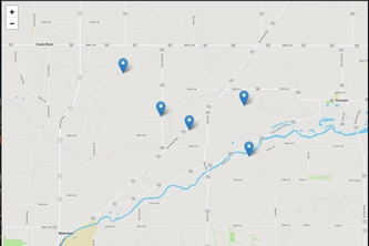
A heat map to visualize the occurrence of high fever in adults by using fitness bands' body heat measurement sensors
Yelp for ramps.
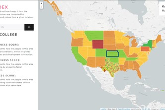
A web app to help connect with people in your area to do things!
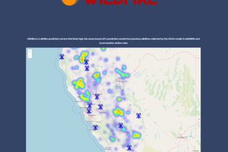
Wildfire predictions
Empowering the future with data from today.
Have you ever wondered about the cost of Healthcare in America? Look no further, you can find out in 30 seconds with this one weird trick.
Demand vs Usage: Where are energy resources allocated?
Airbnb, but for parking spots. Users can reserve spots at popular destinations so they'll never have to compete for parking
Mapping Spotify plays and mood
Stack overflow for hardware projects
Yet another environment-friendly delivery. We force our clients to use EV, bikes and pedestrians to deliver their packages. For that we grant them with points. They can use them for new orders.
Predicts population for different age demographics for a target year based on past population data using City of London's open data portal.
System to book CityAirbus flying taxis, locate the taxi able to reach the customer soonest & send it to them, and to show taxi locations on a map
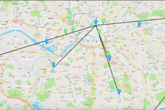
A visualisation tool that enhances the understanding of how service recovery effects surrounding stations after an incident. Analysing this will enable improved service recovery and standardisation.
Lampong is an integrated mobile and web-based system using crowdsourcing for dynamic mapping and real-time reporting of wildlife crimes. One Click. One Community. One Animal Saved From Cruelty.
A platform allowing people to create AR web applications as easily as static HTML websites.
Interactive traffic incidents map for new drivers to learn traffic patterns in Princeton.
We built a web app that uses IBM cloud, Nasa's Mobiis 6 satellite imagery and large amounts of weather data to predict locations of wildfires in California.
Our project is to raise awareness of global air quality, direct you to great resources on how to help keep the world clean, and visualize an aspect of the world's air quality.
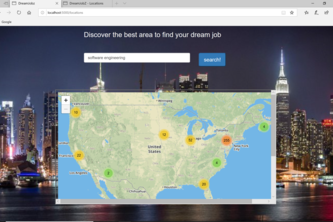
find the location density of your dream job
Sustainable Seafood Marketplace
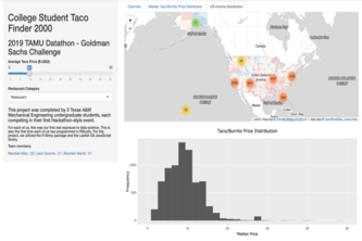
Deriving consumer insights data from US taco and burrito business data
Do you know where to find your favorite tacos?
Have you ever wanted to start a taco or burrito shop, but didn't know how to be competitive? That's where Taco 'bout It comes in.