Inspiration
A recurring trend of always seeing a fire happening in California spurred us to see if their was a way to help remotely from the Midwest
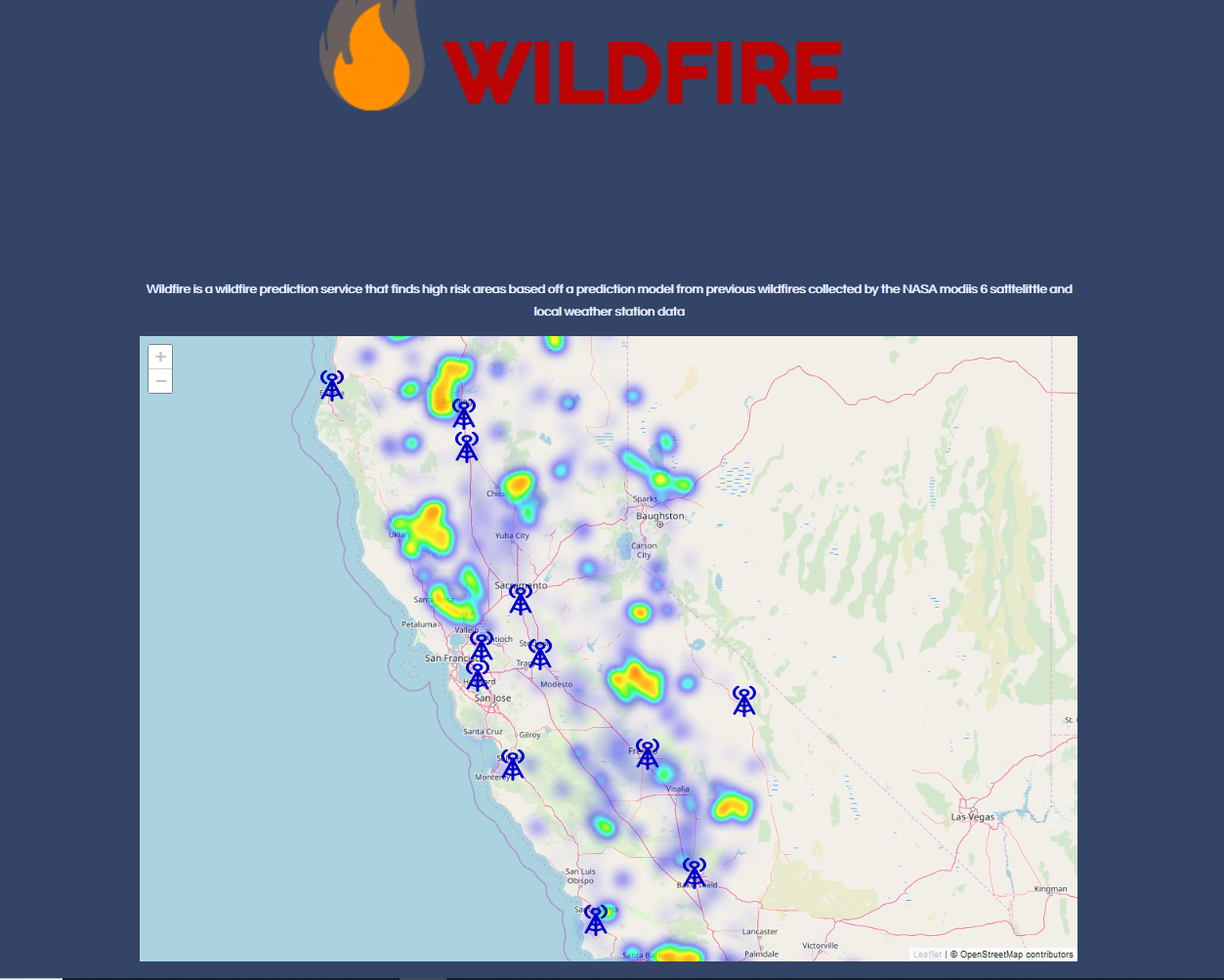
What it does
Our project shows high risk areas of wildfire zones
How we built it
We used local weather data to get our rain, temperature, wind, etc data. Then using data from Nasa's MODIS satellite we can see where wildfires happen all across the world, and find how confident it is that the area had a fire in it as well as how high of risk an area is of having a fire. We use the data we have on IBM's cloud (DB2) and IBM's Cloud Foundry to help visualize the data.
Accomplishments that we proud of
Taking on the challenge of learning the majority of the services that we interacted with. We hadn't worked with IBM cloud before.
What I learned
A lot about how a higher level technology suite works together to bring powerful solutions to developers
What's next for WildFire
If this project were to continue development we would refine the way we predict our high risk areas. We understand our model isn't perfect under the current time restraints and can see room for improvements as development continues.


Log in or sign up for Devpost to join the conversation.