-
-
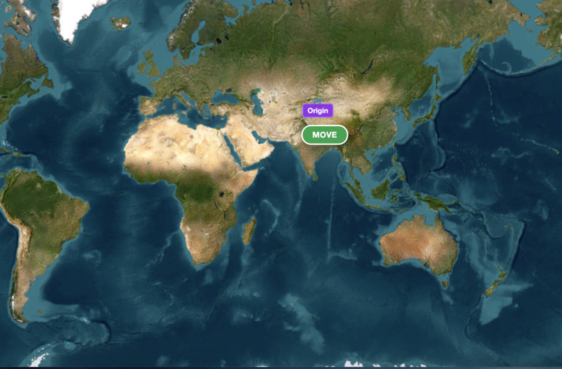
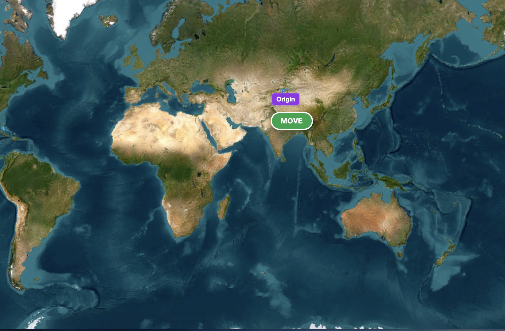
European Satellite image
-
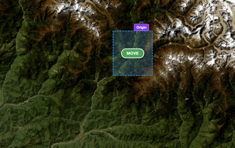
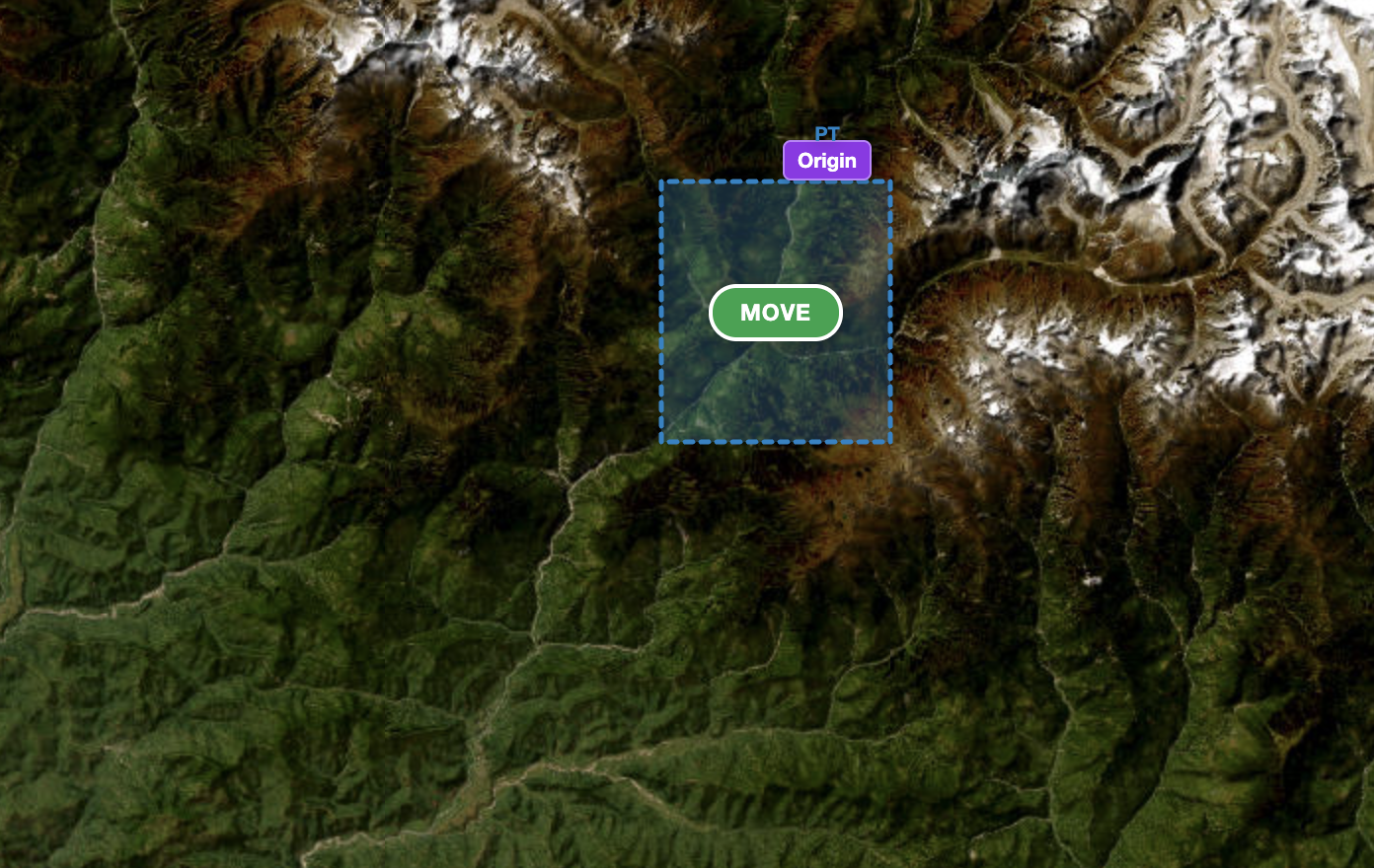
Zoomed selected area of interest
-
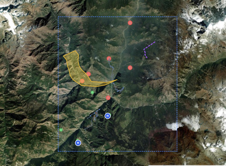
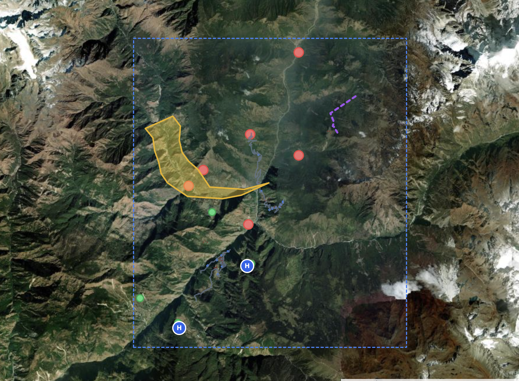
Blocked or risky areas are shown
-
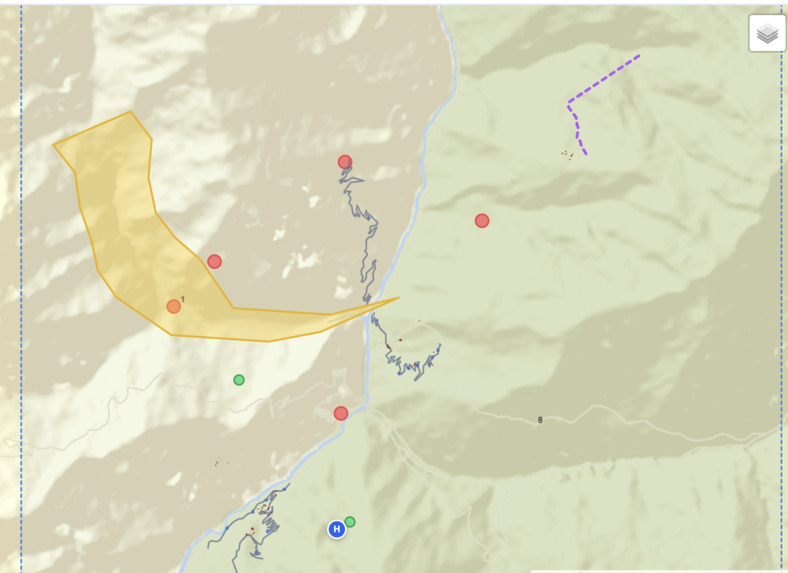
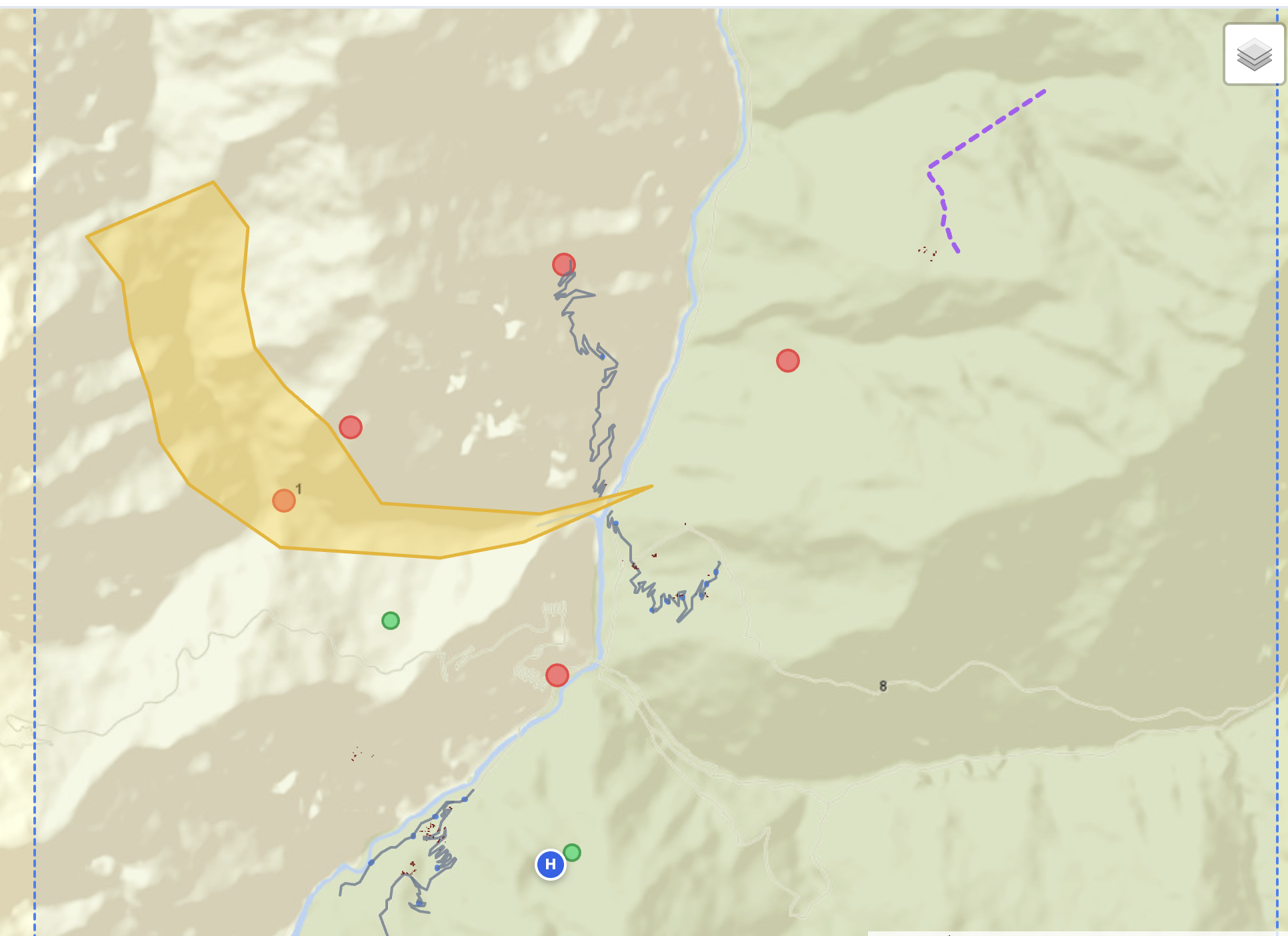
World imagery street map
Inspiration -
The recent devastating flood in Nepal inspired us. In steep mountain terrain, bridges collapse, cloud cover blinds regular satellites, and rescue teams on the ground are forced to operate completely blind without knowing who is trapped.
What it does -
It gives disaster coordinators an immediate, 360-degree operational picture. It maps flooded corridors using space radar, identifies severed roads and broken bridges, pinpoints cut-off communities that have lost access to regional hospitals, and automatically generates prioritized rescue and airlift action plans.
How we built it -
• Satellite Remote Sensing: Processed Sentinel-1 Synthetic Aperture Radar (SAR) and Sentinel-2 optical imagery with a PyTorch U-Net model to pierce clouds and detect floodwaters. • Geospatial & Road Graph: Extracted live OpenStreetMap road networks, using NetworkX graph algorithms to evaluate true drivable routes from villages to hospitals. • Multimodal AI: Integrated Google Gemini 1.5 Flash to convert spatial metrics into zero-hallucination, bilingual (English & Nepali) situation reports and an interactive field responder copilot. • Full Stack: Built with Django, Celery, Redis, and Leaflet.js.
Challenges we ran into -
• Handling radar shadows and mountain distortion in steep Himalayan valleys. • Overcoming crowdsourced map data gaps in remote rural areas. • Preventing AI hallucinations by strictly grounding Gemini's outputs on mathematically verified spatial metrics. • Handling local language scripts (Devanagari) alongside English place names.
Accomplishments that we're proud of -
• Achieving strong spatial alignment when benchmarked against official European Space Agency Copernicus Emergency activations (EMSR927). • Delivering a full end-to-end analysis—from space radar ingestion to an actionable rescue report—in under 2 minutes. • Solving the "cut-off" problem: identifying villages that are high and dry but completely stranded due to a washed-out bridge miles away.
What we learned -
• How spaceborne radar (C-band SAR) sees water where optical cameras see only clouds. • The vital difference between "flooded land" and "trapped people"—graph connectivity matters just as much as water detection. • How to strictly constrain LLMs with spatial ground truths to build trustworthy tools for high-stakes emergency response.
What's next for ManageQuery -
• Integrating real-time drone and river gauge sensor feeds for micro-level neighborhood tracking. • Adding offline-first PWA / SMS dispatching for field teams with zero cellular connectivity. • Expanding automated flight paths and GPS waypoints for autonomous search-and-rescue supply drones

Log in or sign up for Devpost to join the conversation.