Devpost
Participate in our public hackathons
Devpost for Teams
Access your company's private hackathons
Grow your developer ecosystem and promote your platform
Drive innovation, collaboration, and retention within your organization
By use case
Blog
Insights into hackathon planning and participation
Customer stories
Inspiration from peers and other industry leaders
Planning guides
Best practices for planning online and in-person hackathons
Webinars & events
Upcoming events and on-demand recordings
Help desk
Common questions and support documentation
Sort by:
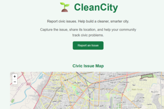
Empowering citizens to report, track, and resolve local civic waste issues with location-verified reporting.
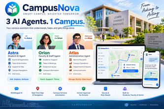
3 AI Agents. 1 Campus.
An AI-powered civic platform built solo over 1 year that digitizes and automates municipal complaint reporting, tracking, and escalation to instantly resolve local community issues across India.
Finding a trail is solved. Finding people to walk it with isn't. Swipe hikes near you, join the group, settle a date, then record the walk together.
12:00 AM EarthLens uses on-device AI, GPS, and sensors to identify mountains, lakes, islands, and cities, even offline, while refusing to guess when evidence is uncertain.
Carbon Compiler is a route planner that shows you the real cost of getting somewhere, not just money but carbon emissions too.
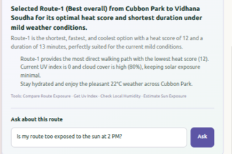
Imagine it’s a scorching afternoon and you need to walk across the city. Traditional navigation apps will show you the fastest route—but that route might take you through exposed
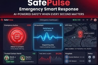
SafePulse is an AI-powered emergency assistant using local AI to provide guidance, detect location, find nearby help, manage trusted contacts, and share emergency alerts.
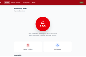
S.A.F.E. — Report Faster. Respond Smarter. Keep Campus Safe.
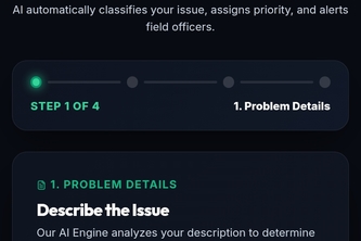
AI-powered municipal operating system that automatically classifies, prioritizes, assigns, tracks, and resolves citizen complaints—turning civic issues into faster, transparent action.
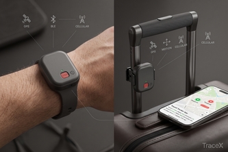
TraceX is a smart tracker that addresses the difficulty of tracking people and valuables in environments where reliable internet connectivity and dense smartphone networks are not guaranteed
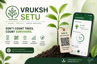
VrukshaSetu gives every planted tree a digital identity using live GPS, camera and QR, then tracks its health and survival for 3 years—turning plantation into measurable impact.
Une système mobile de covoiturage avec géolocalisation
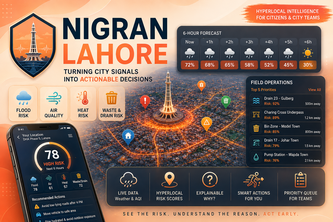
See the Risk. Understand the Reason. Act Early.
An AI-powered nature prescriptions tool connecting your mental state to live sunlight, weather, and green spaces.
NaturePulse is an AI-powered nature relationship platform helping urban explorers observe, understand, experience, act, measure, and reconnect with local ecosystems.
Radar Suno es una herramienta movil de ayuda en crisis de diferentes sircunstancias para reforzar el acompañamiento en actividades de busqueda y rescate
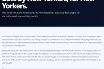
Find Relief NYC turns NYC public data into fast, accessible restroom and amenity access—helping people with urgent needs, disabilities, families, and everyday New Yorkers navigate with confidence.
Check your form with your camera, find a game near you, and train with people instead of alone.
hello friends, i just built this in a 3-hour sprint — a live map of what's happening in downtown Toronto right now. Open the site, see the pins, know what's going on around you. That's it.
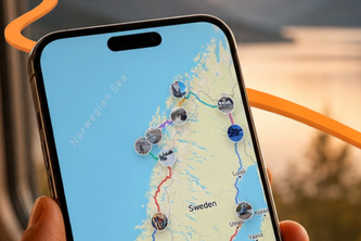
EveryVoyage remembers the whole journey. Track your route, discover trusted stops, capture photos and videos, and turn every road trip into a story you can relive and share.
PlateDiary turns one table photo into a personal food diary—saving each dish, where you ate, when it happened, and who you shared it with. One photo. Every dish remembered.
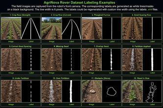
AgriNova Rover is a smart autonomous robot that performs ploughing, precision seed sowing, and fertilizer dispensing, enabling efficient, cost-effective precision agriculture.
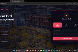
AI-powered fleet management with real-time tracking and smart route optimization.