Devpost
Participate in our public hackathons
Devpost for Teams
Access your company's private hackathons
Grow your developer ecosystem and promote your platform
Drive innovation, collaboration, and retention within your organization
By use case
Blog
Insights into hackathon planning and participation
Customer stories
Inspiration from peers and other industry leaders
Planning guides
Best practices for planning online and in-person hackathons
Webinars & events
Upcoming events and on-demand recordings
Help desk
Common questions and support documentation
Sort by:
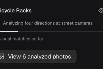
Find the everyday things maps miss. Cartographer uses AI to search street-level photos for bike racks, benches, curb ramps, and more, then maps possible matches with photos you can check.
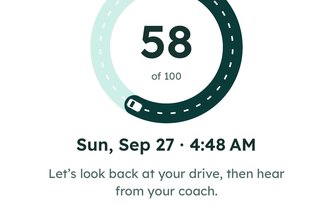
Fitbit meets Life360, but with AI
t-guIA: Tijuana sin barreras.Navegación inteligente con IA que detecta obstáculos en tiempo real y traza rutas accesibles para devolver la autonomía a personas con movilidad limitada.
How well do you know the world's oceans?
Data-driven routing for a safer walk. Take the brightest route home.
Our AI scans street-level property images, finds the homes that actually need your service, and writes a personalized postcard for each one. Smarter leads, zero waste.
Mapping heat. Planting relief.
Buying a home is overwhelming. HomeQuest cuts through the noise to help first-time buyers find properties that truly fit their lives and make confident decisions.
Symptra uses AI symptom-pattern reasoning to guide users toward appropriate specialist care and nearby providers, helping patients move from symptom uncertainty to informed healthcare decisions.
Emergency response platform providing instant access to weather data, air quality levels, nearby shelters, and evacuation routes. Auto-location detection. Built with React, Google Maps, Open-Meteo.
Pothole uses AI and Street View imagery to detect and map road hazards in real time, helping cities prioritize repairs and enabling anyone to anonymously report unsafe road conditions.
GeoGuessr but for UCI. Made to train for Petr sticker drops
An AI-powered visual difference engine that spots and explains real-world changes using 360 panorama street or site imagery, enabling smarter maintenance, planning, and monitoring.
SEPTA's transit app sucks. It's missing a lot of information and is hard to use. That's why we made a web browser application that provides additional information about SEPTA stations.
Flood analysis shouldn’t take weeks while lives and property are at stake. We make it instant: any address, real-time risk score, and clear next steps. All in under 20 seconds.
GeoGuessr in Real Life: Go outside and compete in finding locations before your friends, or explore and scavenge for virtual geocaches.
Explore the World of Dinosaurs🦕
Not just directions, demand access. The GMaps Accessibility Project reveals real-time, street-level accessibility using Google Maps. Navigate safely, confidently, and inclusively.
An immersive panorama trip from valley to summit of Zugspitze, Germany's tallest mountain.
Find Safer ways to Travel!
Pick the perfect business location with data, not guesswork. Our tool gives real-time insights on competitors, rent, and spending trends—so you launch smarter, faster, and with confidence.
We connect guests to local gems through interactive Google Maps-powered guest books, enhancing stays while boosting community businesses.
Play Through Culture, Grow With Stories
Discover the world with culturally personalized, AI-powered travel planning. Wanderlust creates smart itineraries using Qloo Taste AI™, LLAMA, and Google Maps—making every trip uniquely yours.