Devpost
Participate in our public hackathons
Devpost for Teams
Access your company's private hackathons
Grow your developer ecosystem and promote your platform
Drive innovation, collaboration, and retention within your organization
By use case
Blog
Insights into hackathon planning and participation
Customer stories
Inspiration from peers and other industry leaders
Planning guides
Best practices for planning online and in-person hackathons
Webinars & events
Upcoming events and on-demand recordings
Help desk
Common questions and support documentation
Sort by:
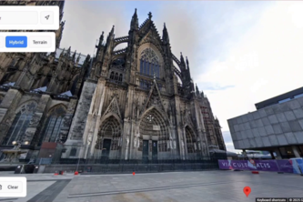
Immerse yourself even before the travel planning
A travel app for planning and recording trips. The app combines artificial intelligence (AI) with advanced Google APIs and runs on browsers, iOS and android devices.
A hyperlocal app mapping available drop-off spots for recyclables and donation (clothes, books), with real-time fill-level updates and collection schedules.
LoetoLink is a React Native app (Expo) that provides real time public transport navigation, route discovery, fare estimation and ETA.This helps commuters navigate efficiently and reduce uncertainty.
Over 45% of Buffalo lives below the line, while businesses throw away good food. FoodToU is an AI-powered app connecting surplus food from suppliers to those who need it. Let’s turn waste into hope.
Imagine a tool that reveals your store’s visibility with clarity. Voir analyzes customer interactions, trends, and competitors to boost impact. See beyond numbers and maximize your store’s potential!
DiscoverMe is an AI-powered travel discovery platform that matches you with global destinations based on who you are. Take a short quiz and explore places that truly resonate with you!
It offers chat therapy with the chatbot Jorge, and after the chat, Jorge will recommend a place to relax. With calming background music, it can also provide breathing instructions after panic attacks.
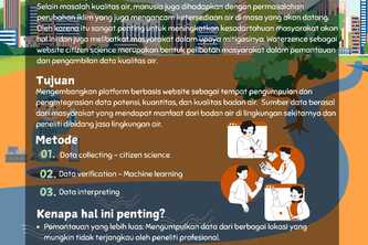
A website that integrates data of location, quantity, quality and potential of Indonesia's water body that have been collected by researchers and citizen science
Humans go head to head against AI. Who will win? Will you dare to beat AI?
Building walkable cities, one step at a time.
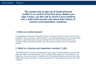
Know before you go! Does your potential landlord have violations on the property you're interested in? Visit us to check on the properties or people you need to know about before your next move.
Using Gemini along Google Maps, we can provide navigation directions using points of reference on the street, reducing the need for to glance at the screen while driving.
This project uses AI and demographics data to help businesses find their next opening location
Reduce urban heat islands with effective tree planting
"UNIT" is a planning and finance app made for groups who wants to fund shared goals and solve group payments for any monetary transaction that involves more than one single contributor.
Weather-Viz is an application that uses Python, C#, Meshroom, and the Unity XR development software to take a user’s location and generate high-quality visualizations of that location in the future.
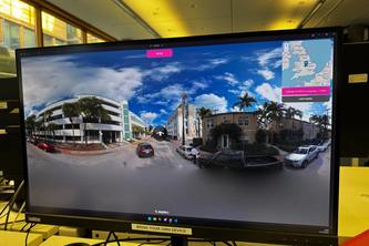
Using Google Vision API to identify landmarks and triangulating the exact position of a photo from a panorama image.
Enable blind people to enjoy 'sightseeing' in their unique way by providing them with literary-pleasing descriptions of their surroundings.
Responsive Weather App with gorgeous interface using google maps and google geocoding to query Apple's weatherKit API for any location in the world. Click anywhere on the map or search by address.
'Taipei Riverside Bike Exits' is an Android app that maps all known exits located along Taipei's riverside bike paths.
Share tricks, find inspiration, and discover spots. With DropIn, you can interact with the vibrant and diverse skateboarding community like never before.
Prevent & Protect !
If you're tired of being dropped into random fields in Kentucky while playing GeoGuesser, our game is for you, with our curated playlists of iconic locations which can be enjoyed right from your VC!