Devpost
Participate in our public hackathons
Devpost for Teams
Access your company's private hackathons
Grow your developer ecosystem and promote your platform
Drive innovation, collaboration, and retention within your organization
By use case
Blog
Insights into hackathon planning and participation
Customer stories
Inspiration from peers and other industry leaders
Planning guides
Best practices for planning online and in-person hackathons
Webinars & events
Upcoming events and on-demand recordings
Help desk
Common questions and support documentation
Sort by:
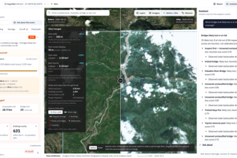
AN AUTOMATED MULTI-MODAL DISASTER IMPACT ANALYSIS & RAPID MAPPING FRAMEWORK . FloodLens provides an automated, end-to-end geospatial intelligence pipeline designed to solve this critical gap.
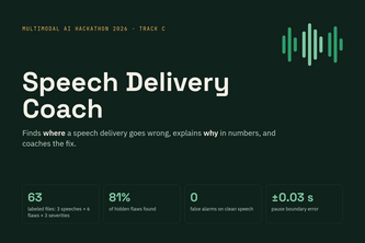
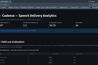
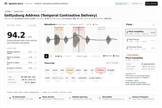
Pinpoints where a speech delivery goes wrong, explains why with numbers (pace, pauses, pitch, volume) and coaches the fix. Built on a 63-file contrastive dataset.
Maps flood extent and infrastructure exposure from satellite images, then identifies settlements without road access.
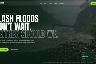
When roads, bridges and phone lines are gone, PRAHAR looks down from space: it shows where the flood hit, which homes and bridges were struck, and which villages are cut off, in minutes.
Radar sees through monsoon cloud. Dhara turns it into three answers in minutes: where it flooded, what broke, and who is cut off. Open data, measured accuracy, one-page report.
Cadence compares your speech with a reference delivery, pinpoints every flaw in pacing, pitch, pauses, volume and clarity to the second, and explains each one in plain words using real measurements.
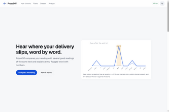
AI-powered speech delivery analysis that detects and explains prosody flaws word by word.
Satellite flood-damage mapping for rescue teams: where the flood hit, what was damaged, and who is cut off.
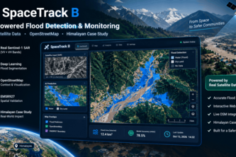
Autonomous satellite AI combining Sentinel-1 SAR, DEM slope physics & OSM topology to detect flash floods, severed roads, destroyed bridges & isolated Himalayan villages.
From Sentinel-1 radar to cut-off villages: maps flood and debris, flags buildings, roads and bridges in the flood zone, ranks who to reach first, and writes a situation report in English and Nepali.
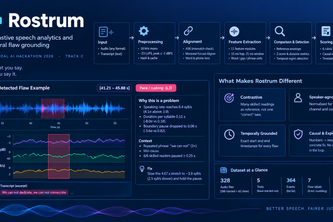
Rostrum turns speech delivery into measurable evidence, detecting exactly where a speaker rushes, hesitates, or loses emphasis with timestamped, explainable acoustic analysis.
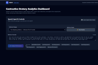
ECHO : An explainable AI system that pinpoints speech delivery flaws, explains why they occur, and provides objective, timestamped feedback through contrastive audio analysis.
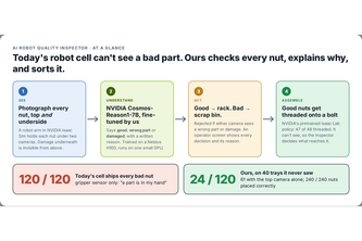
A simulated robot cell that inspects every nut from above and below with a fine-tuned NVIDIA Cosmos model, explains what's wrong in plain words, and stops bad parts before assembly.
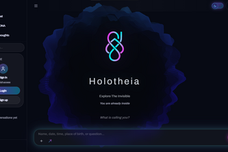
Holotheia is an AI platform that unifies science and spirituality, blending morphic fields, ancient wisdom, and modern computation into a conscious intelligence that helps you explore the invisible.
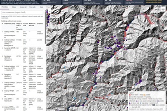
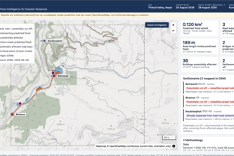
Team Anatics presents HimalayaSentinel-AI, a satellite-based flood-mapping and emergency-accessibility analysis project for the Trishuli–Bhote Koshi corridor in Nepal.
VantageQ uses satellite imagery and AI to map flood zones, identify exposed infrastructure, and flag potentially cut-off settlements, helping disaster teams make faster decisions.
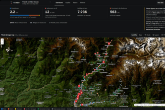
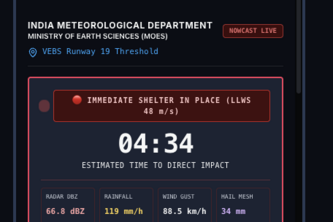
VAJRA turns weather data into storm tracking, short-term forecasts, and location-specific hazard intelligence to help decision-makers anticipate where severe weather may strike and when.
Train how you speak; measure how you deliver. Mock interviews, news reading, debate and storytelling, scored on pace, pitch, pauses and filler words.
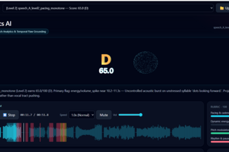
Contrastive Speech Analytics & Temporal Flaw Grounding for Competitive Oratory via Acoustic Residual Modeling.
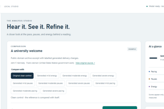
Turn vague speech feedback into measurable evidence. Compare two readings, pinpoint differences in pauses, pace, and energy, and replay flagged moments—all locally, with transparent scoring.
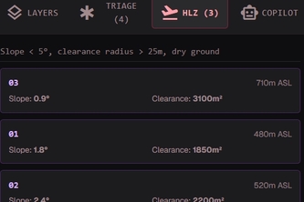
Multimodal satellite AI fusing Sentinel-1 SAR radar, DEM elevation, and road graphs to map flood damage, triage isolated communities, and identify safe helicopter evacuation zones.
Agnovis AI — Detect crop diseases early, identify pests instantly, and empower farmers with AI-driven solutions for healthier harvests.
Multimodal satellite AI for flood mapping, infrastructure assessment, and identifying isolated communities.
Find the moment, not just the movie. Describe what you saw or what someone said, and Scene Dive jumps straight to that exact moment. Built for Fire TV.